|
Gardenvale, Victoria
Gardenvale is a suburb in Melbourne, Victoria, Australia, south-east of Melbourne's Central Business District, located within the City of Glen Eira local government area. Gardenvale recorded a population of 1,019 at the 2021 census. History Prior to subdivision in 1908, the area was a paddock owned by the Lemprière family, and was in use for a polo ground. The Lemprières were a prominent Caulfield family with several members serving on the Caulfield Council. The railway station, built in 1907, was named Garden Vale - the origins of the name are unknown, but it is possibly due to market gardens in the surrounding countryside. A Garden Vale East Post Office opened in 1914, and was renamed Garden Vale in 1922 and Gardenvale about 1940. Also a Post Office opened in 1891 as Elsternwick Receiving House, and was renamed Elsternwick West in 1908, Gardenvale in 1909, Garden Vale in 1910, Garden Vale West in 1922, Gardenvale West about 1940 and closed in 1986. The development of G ... [...More Info...] [...Related Items...] OR: [Wikipedia] [Google] [Baidu] |
Electoral District Of Caulfield
The electoral district of Caulfield is an electoral district of the Victorian Legislative Assembly. The electorate is surrounded by the other electoral districts of Prahran, Albert Park, Malvern, Oakleigh, Bentleigh and Brighton. It covers the metropolitan suburbs of Caulfield, Caulfield North, Caulfield South, Caulfield East, Elsternwick, Gardenvale, Ripponlea and Balaclava and parts of St Kilda East, St Kilda, Glen Huntly and Ormond within South-East Melbourne. Approximately 45,222 people reside in the electorate which has been contested at each state election in Victoria since 1927. The longest serving member is Ted Tanner, who held the seat for a period of 17 years, between 1979 and 1996. The seat lies in the inner south-east metropolitan Melbourne and was once safe for the Liberal Party. However, a changing demographic and on-going electoral boundary changes have made the electorate increasingly marginal over the past decade. In the 2018 Victorian state election, ... [...More Info...] [...Related Items...] OR: [Wikipedia] [Google] [Baidu] |
Ausway
Ausway is an Australian cartography and publishing company that produces comprehensive street directories and maps. In addition to its directories, Ausway also produces laminated, folded and rolled maps of varying sizes and formats, 200dpi digital map images, and index data. Ausway markets a satellite navigation unit loaded with their mapping data, branded as Navway. History Seeking a higher quality street directory for Melbourne, Merv Godfrey and Iven Mackay began drawing maps by hand for their proposed directory in 1961. Having produced road maps for petrol stations in the 1960s in his spare time, Godfrey took 12 months leave from his employer, the Government of Victoria's State Electricity Commission, to work on the directory. Godfrey resigned from his job, and worked with his wife to complete the publication. In a second-hand Morris Minor car, Mackay took the drawn maps and drove around checking each road and detail to confirm them. After five years of meticulous rese ... [...More Info...] [...Related Items...] OR: [Wikipedia] [Google] [Baidu] |
Sandringham Railway Line
The Sandringham railway line is a suburban railway line in Melbourne, Australia. It branches from other southeastern suburban rail lines (inferred as the " Caulfield group") at South Yarra station. It serves the City of Bayside, and small sections cover the Cities of Glen Eira, Port Phillip, Stonnington, and Yarra. Various sections of the track opened between 1857 and 1859, and in May 1919, the whole line was electrified. Infrastructure The line is double track throughout, although it runs alongside the Frankston, Pakenham and Cranbourne lines from Flinders Street to South Yarra, making a total of six tracks in this section. There are three platforms at Brighton Beach making it the only station to have three platforms on the Sandringham line (although the third platform is not in use). The speed limit is between South Yarra and Sandringham, and the line has a total of 11 level crossings between South Yarra and Sandringham. Much of the line, however, is either ... [...More Info...] [...Related Items...] OR: [Wikipedia] [Google] [Baidu] |
Elwood, Victoria
Elwood is an inner suburb in Melbourne, Victoria, Australia, 8 km south-east of Melbourne's Central Business District, located within the City of Port Phillip local government area. Elwood recorded a population of 15,153 at the 2021 census. Elwood Beach is a popular bayside beach destination during summer, where the beaches are used recreationally for windsurfing, cycling, cricket and walking. The suburb is known for its mix of Edwardian and Interwar architecture character, its beaches and its leafy streets, many of which are lined by London Plane trees. History The earliest inhabitants and traditional owners of the area now covered by the City of Port Phillip were the Yalukit Wilum, one of the five clans of the Boon Wurrung, known as the coastal tribe, and who were members of the Kulin nation. They inhabited the swampy areas below Emerald Hill and the sandy-ridged ti-tree covered coastline, which extended from St Kilda to Fishermans Bend (Port Melbourne). The Aborigi ... [...More Info...] [...Related Items...] OR: [Wikipedia] [Google] [Baidu] |
CDC Melbourne
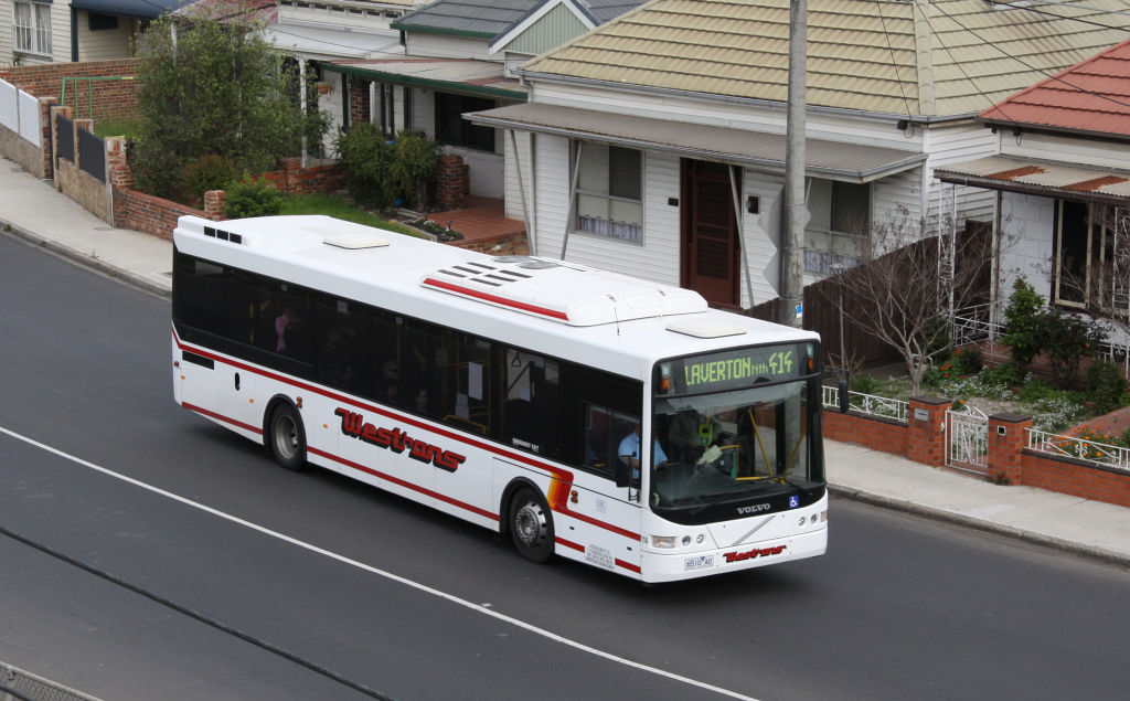
CDC Melbourne is a bus operator in Melbourne, Victoria, Australia. It operates 55 bus routes under contract to Public Transport Victoria. It is a subsidiary of ComfortDelGro Australia. As at 2018, CDC Melbourne was the third-largest commuter bus operator in Melbourne, with 16% of the market share in the city. History In February 2009, ComfortDelGro Cabcharge acquired Kefford Corporation including the Eastrans and Westrans operations in eastern and western Melbourne respectively. At the time of its acquisition by CDC in 2009, Kefford was the fourth-largest bus operator in Victoria with a 16% market share, and with a fleet of 328 buses and six depots. The Eastrans and Westrans brands were retained following the acquisition. In July 2011, Eastrans commenced route 601 as a high frequency shuttle between Huntingdale station and Monash University. In July 2013, CDC acquired the route operations of Driver Group with five routes (routes 612 and 623 - 626) and 42 buses, and inte ... [...More Info...] [...Related Items...] OR: [Wikipedia] [Google] [Baidu] |
Sunshine, Victoria
Sunshine is a suburb in Melbourne, Victoria, Australia, west of Melbourne's Central Business District, located within the City of Brimbank local government area. Sunshine recorded a population of 9,445 at the . Sunshine, initially a town just outside Melbourne, is today a residential suburb with a mix of period and post-War homes, with a town centre that is an important retail centre in Melbourne's west. It is also one of Melbourne's principal places of employment outside the CBD with many industrial companies situated in the area, and is an important public transport hub with both V/Line and Metro services at Sunshine railway station and its adjacent major bus interchange. History 19th century The farms and settlements in the area now known as Sunshine first came under the Sunshine Road District (1860–1871) which later became the Shire of Braybrook (1871–1951). From 1860 to 1885 the only railway which passed through the area was the Bendigo line and the only r ... [...More Info...] [...Related Items...] OR: [Wikipedia] [Google] [Baidu] |
Kinetic Melbourne
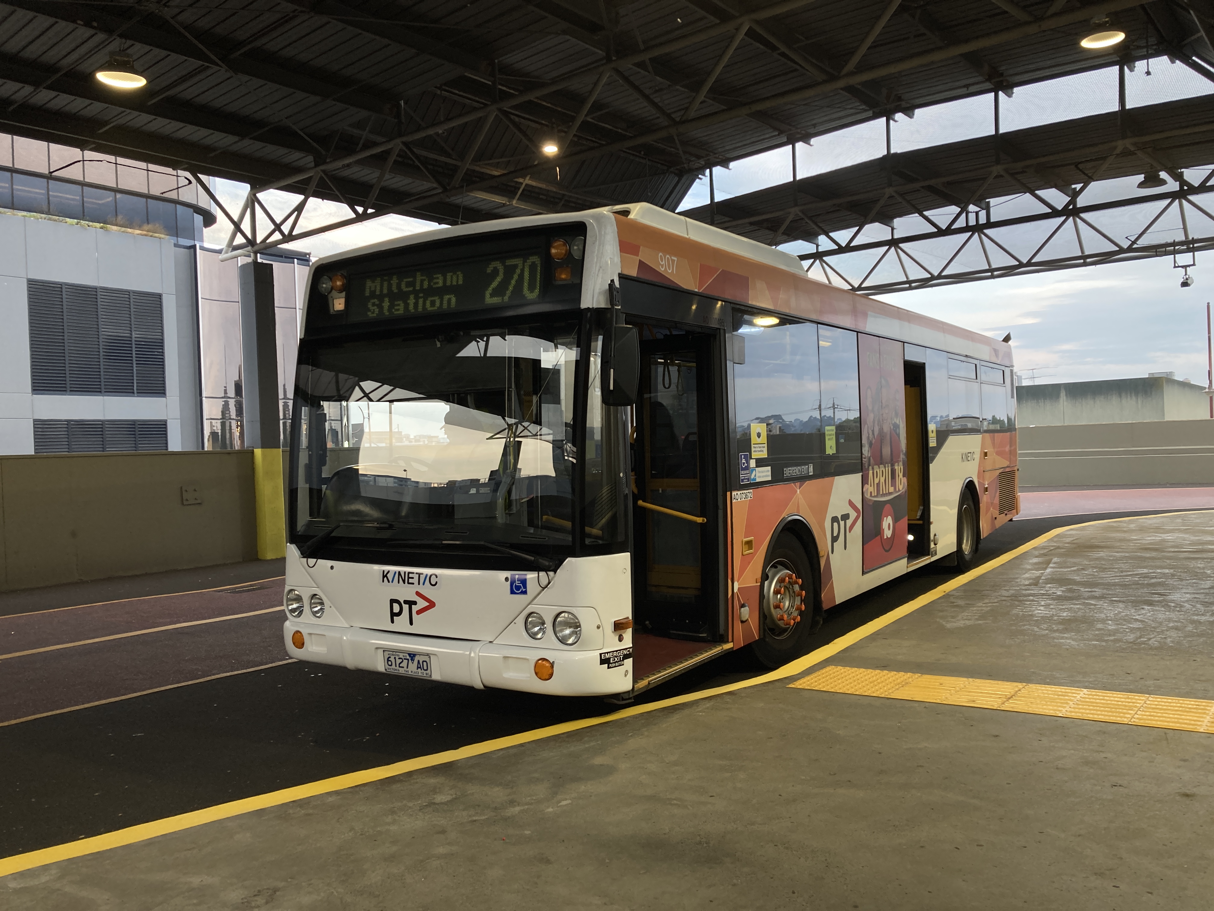
Kinetic Melbourne is a bus operator in Melbourne, Australia, operating a fleet of 531 buses on 43 bus routes, as well as seven SmartBus routes. It commenced operations on 31 January 2022, taking over all routes previously operated by Transdev Melbourne. It is a subsidiary of the Kinetic Group. History In October 2021, the Victorian Department of Transport awarded Kinetic Melbourne a contract to operate the Melbourne Bus Franchise until June 2031.New bus franchise to jump start zero-emission pledge Department of Transport [...More Info...] [...Related Items...] OR: [Wikipedia] [Google] [Baidu] |
Prahran
Prahran (), also pronounced colloquially as Pran, is an inner suburb in Melbourne, Victoria, Australia, 5 km south-east of Melbourne's Central Business District, located within the City of Stonnington local government area. Prahran recorded a population of 12,203 at the 2021 census. Prahran is a part of Greater Melbourne, with many shops, restaurants and cafes. Chapel Street is a mix of upscale fashion boutiques and cafes. Greville Street, once the centre of the Melbourne's hippie community, has many cafés, bars, restaurants, bookstores, clothing shops and music shops. Prahran takes its name from Pur-ra-ran, a Boonwurrung word which was thought to mean "land partially surrounded by water". When naming began the suburbs spelling was intended to be Praharan and pronounced Pur-ra-ran, but a spelling mistake on a government form lead to the name Prahran. More recently the word Pur-ra-ran has been identified as a transcription of "Birrarung", the name for the Yarra River, or a spe ... [...More Info...] [...Related Items...] OR: [Wikipedia] [Google] [Baidu] |
Mulgrave, Victoria
Mulgrave is a suburb in Melbourne, Victoria, Australia, 21 km south-east of Melbourne's Central Business District,Mulgrave Postcode Australia Post located within the . Mulgrave recorded a population of 19,889 at the 2021 census The suburb takes its name from |
Oakleigh, Victoria
Oakleigh is a suburb in Melbourne, Victoria, Australia 14 km south-east of Melbourne's Central Business District, located within the City of Monash local government area. Oakleigh recorded a population of 8,442 at the 2021 census. Once a large independent city, Oakleigh was absorbed into Melbourne as part of the eastward expansion of the metropolis in the 1950s. As a result, it once had its own large historic Central Business District, its own municipality in the former City of Oakleigh and its own suburbs. The area is traditionally known to have a strong Greek cultural influence, largely due to the influx of said immigrants to Australia in the mid-20th century. Fourteen per cent of those living in the suburb speak only Greek at home. Although the origin of the name of the suburb, "Oakleigh," is unclear, local historians have three main theories – that it was derived from she-oaks that grew near Scotchmans Creek; from "Oakleigh Park" an estate near Malvern Hills in ... [...More Info...] [...Related Items...] OR: [Wikipedia] [Google] [Baidu] |
Clayton, Victoria
Clayton is a suburb in Melbourne, Victoria, Australia, 18 km south-east of Melbourne's Central Business District,Clayton Postcode Australia Post located within the local government area. Clayton recorded a population of 18,988 at the 2021 census. Overview The main focus for the suburb of Clayton is the shopping strip that runs along Clayton Road. The local railway station, situated at the northern end of the shopping stri ...[...More Info...] [...Related Items...] OR: [Wikipedia] [Google] [Baidu] |
Monash University
Monash University () is a public research university based in Melbourne, Victoria, Australia. Named for prominent World War I general Sir John Monash, it was founded in 1958 and is the second oldest university in the state. The university has a number of campuses, four of which are in Victoria ( Clayton, Caulfield, Peninsula, and Parkville), and one in Malaysia. Monash also has a research and teaching centre in Prato, Italy, a graduate research school in Mumbai, India and graduate schools in Suzhou, China and Tangerang, Indonesia. Monash University courses are also delivered at other locations, including South Africa. Monash is home to major research facilities, including the Monash Law School, the Australian Synchrotron, the Monash Science Technology Research and Innovation Precinct (STRIP), the Australian Stem Cell Centre, Victorian College of Pharmacy, and 100 research centres and 17 co-operative research centres. In 2019, its total revenue was over $2.72&nbs ... [...More Info...] [...Related Items...] OR: [Wikipedia] [Google] [Baidu] |


