|
Gulp (river)
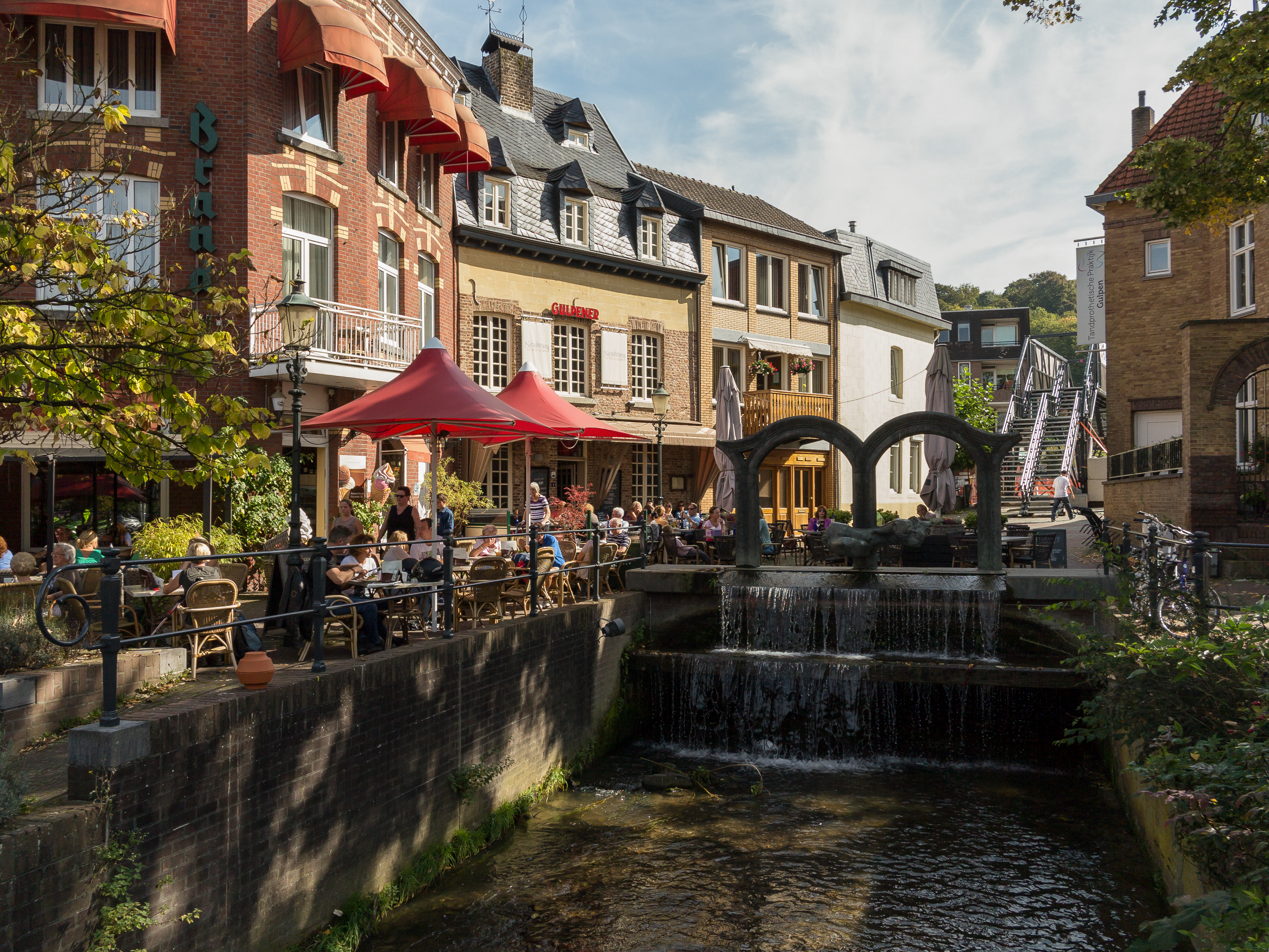
The Gulp (; ; french: Galoppe) is a long river in eastern Belgium and southeastern Netherlands. It flows through the Belgian provinces of Liège and Limburg, and the Dutch province of Limburg. It is a strongly meandering, fast flowing, left-bank tributary of the Geul river. Because of it strong meanders, it is difficult to determine its exact length. During Roman times, the river was called ''Galopia'' or ''Gulippa'', meaning ''little Geul'' or ''upper brook''. The Gulp is a real trout brook: flowing fast and rich in oxygen. Brook trout is abundant. The landscape of the narrow Gulp valley resembles much the valley of the Geul: a fascinating mixture of deciduous forests, meadows, farmland, muddy banks, stream pools, orchards and ''holle wegen'' (eroded dirt roads). Flow The source is in Henri-Chapelle. It joins the Geul near Gulpen, [...More Info...] [...Related Items...] OR: [Wikipedia] [Google] [Baidu] |
Slenaken
Slenaken ( Limburgish: ''Sjlennich'') is a village in the Dutch province of Limburg. Slenaken was a separate municipality until 1982, when it was merged with Wittem. History On a bank of the River Gulp, just to the south of Slenaken, is the "grinding stone of Slenaken" (''"Slijpsteen van Slenaken"''), a large flint boulder used in the Neolithic period to polish stone axe heads. The earliest surviving written record of Slenaken dates from 1252. At that time, along with the parish, Slenaken comprised a handful of houses and farmsteads. At some point before 1428 a small chapel was constructed. There is a legend that this was triggered when a shepherd saw one of his sheep kneeling before a "cross" in a burning bush.Gerard C. Ubaghs, Geschiedkundig overzigt van Gulpen en deszelfs onderhoorige plaatsen, Maastricht: Hollmann, 1865, 55 & 57. This inspired the villagers to build the little chapel, where they came together each Friday to venerate the Holy Cross. Starting in 1 ... [...More Info...] [...Related Items...] OR: [Wikipedia] [Google] [Baidu] |
Gracht Burggraaf
''Gracht'' (; plural: ''grachten'') is a Dutch word for a canal within a city. ''Grachten'' often have a round shape, and form a circle around the city cores in the Netherlands, Belgium, and northern Germany. Outside the Netherlands, the word ''grachten'' mostly refers to the city canals of Amsterdam (for which it is well known) and also Utrecht, Leiden and The Hague. The Koninginnegracht in The Hague was conceived by King Willem I for the promotion of tourism in the early 19th century. Since 2009 the Willemsvaart once more offers tours over this ''gracht'', to Scheveningen, known as "StrandRelax" or "BeachRelax", a unique stretch of sand between The Hague and the sea. Translation The word ''gracht'' cannot be easily translated; for this reason, it is necessary to distinguish between four related terms: * A ' (city-canal) is a waterway in the city with one-way streets on both sides of the water. The streets are lined with houses, often in a closed front. In rare cases, there ... [...More Info...] [...Related Items...] OR: [Wikipedia] [Google] [Baidu] |
Gulpen-Wittem
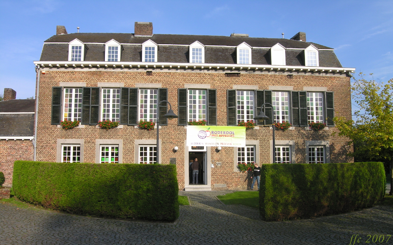
Gulpen-Wittem (; li, Gullepe-Wittem ) is a municipality in the southeastern Netherlands (in the province of Limburg) with inhabitants as of . Gulpen-Wittem came into being after the merger of the municipalities Gulpen and Wittem. This took place after a request of both municipalities. At the time of the merger, both municipalities had about 8000 inhabitants, although Wittem was bigger than Gulpen. The town hall was situated in Gulpen, and has kept its function as town hall in the new municipality. The former town hall of Wittem was situated in a manor house in Mechelen since 1986, which is now being used as a "nursing hostel". The municipality is rural, with many castles, half-timbered houses and old monumental farms. Yearly, Gulpen-Wittem attracts many tourists from the entire country because of its relatively sloping landscape, especially during the summer. Population centres Topography ''Dutch Topographic map of the municipality of Gulpen-Wittem, June 2015'' Economy A ... [...More Info...] [...Related Items...] OR: [Wikipedia] [Google] [Baidu] |
Rivers Of South Limburg (Netherlands)
A river is a natural flowing watercourse, usually freshwater, flowing towards an ocean, sea, lake or another river. In some cases, a river flows into the ground and becomes dry at the end of its course without reaching another body of water. Small rivers can be referred to using names such as creek, brook, rivulet, and rill. There are no official definitions for the generic term river as applied to geographic features, although in some countries or communities a stream is defined by its size. Many names for small rivers are specific to geographic location; examples are "run" in some parts of the United States, "burn" in Scotland and northeast England, and "beck" in northern England. Sometimes a river is defined as being larger than a creek, but not always: the language is vague. Rivers are part of the water cycle. Water generally collects in a river from precipitation through a drainage basin from surface runoff and other sources such as groundwater recharge, springs, a ... [...More Info...] [...Related Items...] OR: [Wikipedia] [Google] [Baidu] |
Rivers Of Liège Province
A river is a natural flowing watercourse, usually freshwater, flowing towards an ocean, sea, lake or another river. In some cases, a river flows into the ground and becomes dry at the end of its course without reaching another body of water. Small rivers can be referred to using names such as creek, brook, rivulet, and rill. There are no official definitions for the generic term river as applied to geographic features, although in some countries or communities a stream is defined by its size. Many names for small rivers are specific to geographic location; examples are "run" in some parts of the United States, "burn" in Scotland and northeast England, and "beck" in northern England. Sometimes a river is defined as being larger than a creek, but not always: the language is vague. Rivers are part of the water cycle. Water generally collects in a river from precipitation through a drainage basin from surface runoff and other sources such as groundwater recharge, sprin ... [...More Info...] [...Related Items...] OR: [Wikipedia] [Google] [Baidu] |
Rivers Of The Netherlands
These are the main rivers of the Netherlands. All of the Netherlands is drained into the North Sea, partly via the IJsselmeer lake. In the list below, rivers that flow into the sea are sorted following the North Sea coast (including IJsselmeer) from the Belgian border near Knokke to the German border near Emden. Rivers that flow into other rivers are sorted by the proximity of their points of confluence to the sea. A large part of the Netherlands is located in the Rhine–Meuse–Scheldt delta. The network of rivers is rather complex. The main routes of the rivers Scheldt, Meuse and Rhine are indicated in bold. At the end of this article the rivers of the Netherlands are given alphabetically. See also :Rivers of the Netherlands and :Rhine-Meuse-Scheldt delta. Note for additions: please remember to add the city where the river meets for each river. *Western Scheldt/Westerschelde (at Vlissingen) **Scheldt/Schelde (near Zandvliet, Belgium) *Oosterschelde (at Westenschouwen) ** ... [...More Info...] [...Related Items...] OR: [Wikipedia] [Google] [Baidu] |
Rivers Of Belgium
These are the main rivers of Belgium. All of Belgium is drained into the North Sea, except the municipality of Momignies (Macquenoise), which is drained by the river Oise into the English Channel. Rivers that flow into the sea are sorted alphabetically. Rivers that flow into other rivers are sorted by the proximity of their points of confluence to the sea. Some rivers (e.g. Moselle, Rhine, Seine) do not flow through Belgium themselves, but they are mentioned for having Belgian tributaries. They are given in ''italics''. Below, the Belgian rivers are given alphabetically. See also :Rivers of Belgium. If the names are different in French, Dutch or German, they are given in parentheses (only given if the river comes into French, Dutch or German-speaking territory). Note for additions: Please remember to add the city where the river meets for each river. For an alphabetical overview of rivers of Belgium, see the category :Rivers of Belgium. By basin Meuse *'' Grevelingen, K ... [...More Info...] [...Related Items...] OR: [Wikipedia] [Google] [Baidu] |
Eyserbeek
The Eyserbeek (; li, Ezerbaek ) is a river in the province of Limburg, Netherlands. The Eyserbeek is a right-bank tributary to the river Geul, which later joins the Meuse. Rising in Bocholtz and flowing through Simpelveld and Eys, the Eyserbeek eventually drains in the river Geul in Gulpen. The Eyserbeek lies on the north of the plateau of Bocholtz and south of the plateau of Ubachsberg. Sources of the Eyserbeek can be found in Bocholtz near Hoeve Overhuizen, from where it passes the N281 provincial road, before flowing through the town square of Simpelveld. In 2012 Simpelveld reorganised its town square, which used to cover the river, opening the river to view and creating a new riverbank with bluestone. The Eyserbeek then passes the monumental Oude Molen and Bulkemsmolen watermills, build in 1774 and 1753 respectively, before passing into the village of Eys, which was named after the river. The Eyserbeek eventually drains in the river Geul near the former Motte-and-bailey ... [...More Info...] [...Related Items...] OR: [Wikipedia] [Google] [Baidu] |
Welkenraedt
Welkenraedt (; Ripuarian: ; wa, Welkenrote) is a municipality of Wallonia located in the province of Liège, Belgium. On January 1, 2018, Welkenraedt had a total population of 9,920. The total area is 24.47 km² which gives a population density of 405 inhabitants per km². The municipality consists of the following districts: Henri-Chapelle and Welkenraedt. The town and former municipality of Henri-Chapelle is home to the Henri-Chapelle American Cemetery and Memorial which contains the graves of 7,992 members of the American military who died in World War II. Gallery Image:Welkenraedt - Gemeindehaus.jpg, Town hall Image:Welkenraedt, kerk foto2 2011-09-26 15.38.JPG, Church Twin towns * Nove, Italy * Epfig, France France (), officially the French Republic ( ), is a country primarily located in Western Europe. It also comprises of Overseas France, overseas regions and territories in the Americas and the Atlantic Ocean, Atlantic, Pacific Ocean, Pac ... S ... [...More Info...] [...Related Items...] OR: [Wikipedia] [Google] [Baidu] |
Teuven
Voeren (; ) is a Flemish Dutch-speaking municipality with facilities for the French-speaking minority, located in the Belgian province of Limburg. Bordering the Netherlands to the north and the Wallonia region's Liège Province () to the south, it is geographically detached from the rest of Flanders, making Voeren an exclave of Flanders. Voeren's name is derived from that of a small right-bank tributary of the Meuse, the Voer, which flows through the municipality. The current municipality of Voeren was established by the municipal reform of 1977. On 1 January 2008, Voeren had a total population of 4,207. Its total area is , giving a population density of . About 25% of the population is made up of foreign nationals, most of whom have Dutch nationality. Villages The municipality consists of the six villages of 's-Gravenvoeren (french: Fouron-le-Comte), Sint-Pieters-Voeren (french: Fouron-Saint-Pierre), Sint-Martens-Voeren (french: Fouron-Saint-Martin), Moelingen (french: Mo ... [...More Info...] [...Related Items...] OR: [Wikipedia] [Google] [Baidu] |
Plombières
Plombières (; german: Bleyberg or ''Bleiberg'', nl, Blieberg; wa, So-on-Mont-d'-Plomb) is a municipality of Wallonia located in the province of Liège, Belgium. On 1 January 2006, Plombières had a total population of 10,401. The total area is 53.17 km2 which gives a population density of 200 inhabitants per km2. The municipality consists of the following districts: Gemmenich, Hombourg, Montzen, Moresnet, and Sippenaeken. The local language is Low Dietsch, a bridge dialect between East Limburgish and Ripuarian. Gallery Image:Sippenaeken, dorpszicht foto8 2011-03-25 11.35.JPG, Sippenaeken, view to the village Image:Sippenaeken Beusdael.jpg, Beusdael Castle in Sippenaeken Image:Gemmenich, straatzicht foto3 2011-03-25 11.07.JPG, Gemmenich street Image:Gemmenich, église Saint Hubert foto11 2011-03-25 11.13.JPG, Gemmenich, church Saint-Hubert Église Notre-Dame de l'Assomption in Plombières, BE (DSCF5924).jpg, Notre-Dame de l'Assomption church Hombourg, l´égl ... [...More Info...] [...Related Items...] OR: [Wikipedia] [Google] [Baidu] |


