|
Greaser Petroglyph Site
The Greaser Petroglyph Site is located on land managed by the Bureau of Land Management in eastern Lake County, Oregon. The designs were scraped into a basalt boulder by Native Americans perhaps 12,000 years ago. No one knows the meaning of the designs. Because of its unique archaeological and cultural significance, the Greaser Petroglyph Site was listed on the National Register of Historic Places in 1974. Prehistoric art Native Americans have lived in southeastern Oregon for at least 15,000 years, according to a 2012 find in the Paisley Caves. At that time, pluvial lakes filled many of the high desert basins. Little is known about the people who occupied the land at that time, except that they camped and hunted near the lakes. The earliest petroglyphs in southeastern Oregon may be as much as 15,000 years old or much older. [...More Info...] [...Related Items...] OR: [Wikipedia] [Google] [Baidu] |
Warner Valley
The Warner Valley is a valley in south-central Oregon in the United States. It is a remote valley at the northwestern corner of North America's Basin and Range Province. The valley is home to a chain of lakes and wetlands known as the Warner Lakes. Native Americans were present in the Warner Valley for thousands of years before European explorers arrived in the 19th century. It is the site of Fort Warner, built by the United States Army in 1867. The fort was used as a supply depot and administrative headquarters during a protracted Army campaign against Northern Paiute bands in eastern Oregon and northern California. Today, livestock ranching is the main commercial activity in the valley. The Warner Valley offers a number of recreational opportunities including hunting, fishing, bird watching, and wildlife viewing. Geography The Warner Valley is located in south-central Oregon. It is approximately long and wide. Most of the valley is in Lake County; however, ... [...More Info...] [...Related Items...] OR: [Wikipedia] [Google] [Baidu] |
Luther Cressman
Luther Sheeleigh Cressman (October 24, 1897 – April 4, 1994) was an American field archaeologist, most widely known for his discoveries at Paleo-Indian sites such as Fort Rock Cave and Paisley Caves, sites related to the early settlement of the Americas. Early years Cressman was born outside of Pottstown, Pennsylvania, the son of a physician. He was ordained an Episcopal priest in 1923. Majoring in Classics, he graduated with a B.A. degree from Pennsylvania State University in 1918. Feeling doubts about his vocation, he began studying sociology and anthropology at Columbia University in New York. He received his Ph.D. from Columbia in 1928, and that same year, he left the priesthood. Career In 1929, he took a position as Professor of Sociology at the University of Oregon. The Department of Anthropology was founded by him six years later. His first hire for the department was Homer Barnett. Cressman was the chair of the department from 1935 until his retirement in 1963. ... [...More Info...] [...Related Items...] OR: [Wikipedia] [Google] [Baidu] |
Archaeological Sites On The National Register Of Historic Places In Oregon
Archaeology or archeology is the scientific study of human activity through the recovery and analysis of material culture. The archaeological record consists of artifacts, architecture, biofacts or ecofacts, sites, and cultural landscapes. Archaeology can be considered both a social science and a branch of the humanities. It is usually considered an independent academic discipline, but may also be classified as part of anthropology (in North America – the four-field approach), history or geography. Archaeologists study human prehistory and history, from the development of the first stone tools at Lomekwi in East Africa 3.3 million years ago up until recent decades. Archaeology is distinct from palaeontology, which is the study of fossil remains. Archaeology is particularly important for learning about prehistoric societies, for which, by definition, there are no written records. Prehistory includes over 99% of the human past, from the Paleolithic until the adv ... [...More Info...] [...Related Items...] OR: [Wikipedia] [Google] [Baidu] |
Petroglyphs In Oregon
A petroglyph is an image created by removing part of a rock surface by incising, picking, carving, or abrading, as a form of rock art. Outside North America, scholars often use terms such as "carving", "engraving", or other descriptions of the technique to refer to such images. Petroglyphs are found worldwide, and are often associated with prehistoric peoples. The word comes from the Greek prefix , from meaning "stone", and meaning "carve", and was originally coined in French as . Another form of petroglyph, normally found in literate cultures, a rock relief or rock-cut relief is a relief sculpture carved on "living rock" such as a cliff, rather than a detached piece of stone. While these relief carvings are a category of rock art, sometimes found in conjunction with rock-cut architecture, they tend to be omitted in most works on rock art, which concentrate on engravings and paintings by prehistoric or nonliterate cultures. Some of these reliefs exploit the rock's nat ... [...More Info...] [...Related Items...] OR: [Wikipedia] [Google] [Baidu] |
Oregon Route 140
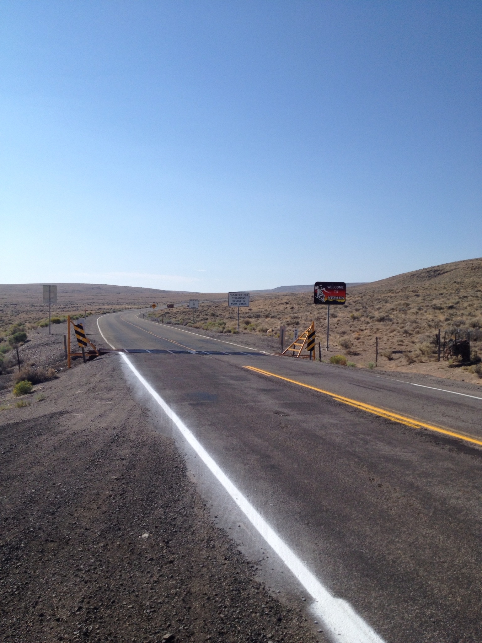
Oregon Route 140 (OR 140) is a state highway in southern Oregon, United States. It is the longest state highway in Oregon, running from the community of White City, Oregon (just north of Medford), through Klamath Falls and on to Lakeview. It then continues east, eventually descending into the state of Nevada. Route description OR 140 begins in White City at a junction with Oregon Route 62 (which runs between Medford and Crater Lake National Park). OR 140 is the primary connection between Medford and Klamath Falls. The stretch of OR 140 between the two cities is known as the Lake of the Woods Highway No. 270 (see Oregon highways and routes), as it passes by the scenic Lake of the Woods and Mount McLoughlin in the Sky Lakes Wilderness. It then runs along the southwestern shore of Upper Klamath Lake, where it is part of the Volcanic Legacy Scenic Byway. Upon entering the Klamath Falls area, it joins together with Oregon Route 66 (which runs between Klamath Falls and Ashland ... [...More Info...] [...Related Items...] OR: [Wikipedia] [Google] [Baidu] |
Adel, Oregon
Adel is an unincorporated community in southeastern Lake County, in the U.S. state of Oregon. The community is in an arid, sparsely populated part of the state, along Oregon Route 140, about east of Lakeview. The Warner Valley surrounding Adel contains many marshes and shallow lakes, most of them intermittent. Frequented by Native Americans for many thousands of years, the valley became a region of sheep grazing and cattle ranching by the late 19th century. Adel's infrastructure includes a combined store/restaurant/bar, a post office (serving Zip Code 97620), an elementary school, and a church. Hot springs and related geological features have made one of the nearby ranches a potential site for a geothermal power station. History People have lived in the Warner Valley for more than 10,000 years. Evidence of Native American occupation includes petroglyphs, hunting blinds, flakes from obsidian tools, and other material artifacts. By historic times, the Kidütökadö band ... [...More Info...] [...Related Items...] OR: [Wikipedia] [Google] [Baidu] |
Archaeologist
Archaeology or archeology is the scientific study of human activity through the recovery and analysis of material culture. The archaeological record consists of artifacts, architecture, biofacts or ecofacts, sites, and cultural landscapes. Archaeology can be considered both a social science and a branch of the humanities. It is usually considered an independent academic discipline, but may also be classified as part of anthropology (in North America – the four-field approach), history or geography. Archaeologists study human prehistory and history, from the development of the first stone tools at Lomekwi in East Africa 3.3 million years ago up until recent decades. Archaeology is distinct from palaeontology, which is the study of fossil remains. Archaeology is particularly important for learning about prehistoric societies, for which, by definition, there are no written records. Prehistory includes over 99% of the human past, from the Paleolithic until the adve ... [...More Info...] [...Related Items...] OR: [Wikipedia] [Google] [Baidu] |
United States Government
The federal government of the United States (U.S. federal government or U.S. government) is the national government of the United States, a federal republic located primarily in North America, composed of 50 states, a city within a federal district (the city of Washington in the District of Columbia, where most of the federal government is based), five major self-governing territories and several island possessions. The federal government, sometimes simply referred to as Washington, is composed of three distinct branches: legislative, executive, and judicial, whose powers are vested by the U.S. Constitution in the Congress, the president and the federal courts, respectively. The powers and duties of these branches are further defined by acts of Congress, including the creation of executive departments and courts inferior to the Supreme Court. Naming The full name of the republic is "United States of America". No other name appears in the Constitution, and this i ... [...More Info...] [...Related Items...] OR: [Wikipedia] [Google] [Baidu] |
Northern Paiute
Northern may refer to the following: Geography * North, a point in direction * Northern Europe, the northern part or region of Europe * Northern Highland, a region of Wisconsin, United States * Northern Province, Sri Lanka * Northern Range, a range of hills in Trinidad Schools * Northern Collegiate Institute and Vocational School (NCIVS), a school in Sarnia, Canada * Northern Secondary School, Toronto, Canada * Northern Secondary School (Sturgeon Falls), Ontario, Canada * Northern University (other), various institutions * Northern Guilford High School, a public high school in Greensboro, North Carolina Companies * Arriva Rail North, a former train operating company in northern England * Northern Bank, commercial bank in Northern Ireland * Northern Foods, based in Leeds, England * Northern Pictures, an Australian-based television production company * Northern Rail, a former train operating company in northern England * Northern Railway of Canada, a defunct railway in ... [...More Info...] [...Related Items...] OR: [Wikipedia] [Google] [Baidu] |
Fort Bidwell Indian Community Of The Fort Bidwell Reservation Of California
The Fort Bidwell Indian Community of the Fort Bidwell Reservation of California is a federally recognized tribe of Northern Paiute Indians in Modoc County in the northeast corner of California."California Indians and Their Reservations." ''San Diego State University Library and Information Access.'' 2009 (retrieved 8 Dec 2009) Background The population as of 1969 was 112. The agency is the Northern California agency. The principal tribe is . They had laws and regulations, in order to establish a legal community organization and secure certain privileges and powers offered to us by the |
High Desert (Oregon)
The Oregon high desert is a region of the U.S. state of Oregon located east of the Cascade Range and south of the Blue Mountains, in the central and eastern parts of the state. Divided into a southern region and a northern region, the desert covers most of five Oregon counties and averages above sea level. The southwest region is part of the Great Basin and the southeast is the lower Owyhee River watershed. The northern region is part of the Columbia Plateau, where higher levels of rainfall allow the largest industry on private land to be the cultivation of alfalfa and hay. Public land within the region is owned primarily by the Bureau of Land Management, which manages more than including five rivers designated as Wild and Scenic. While the high desert is somewhat dry, it is only arid relative to Western Oregon. The region averages of annual rainfall; the Alvord Desert, however, receives only of rain each year. Contrary to its name, most of the high desert is not dry en ... [...More Info...] [...Related Items...] OR: [Wikipedia] [Google] [Baidu] |


.jpg)


