|
George W. Rice (photographer)
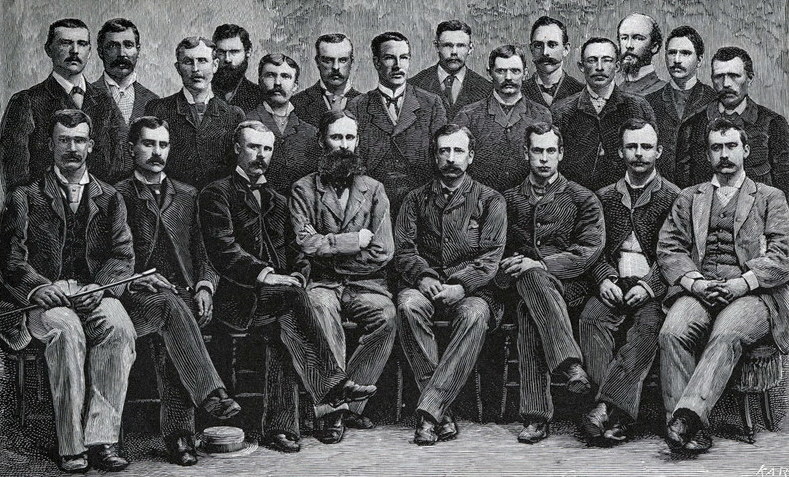
George Walter Rice (29 June 1855 – 9 April 1884) was a Canadian-born photographer who was first to photograph the Arctic region on the ill-fated American led Lady Franklin Bay Expedition of 1881 to 1884. Rice died in the Arctic on 9 April 1884 while awaiting the arrival of a relief vessel. Early life and education George W. Rice was born on 29 June 1855, in Baddeck, Nova Scotia, to Joseph Frederick Rice and Mary Ann (Munn) Rice. After attending primary school in Baddeck and secondary school in North Sydney, Nova Scotia, he enrolled in Columbia University Law School in New York but never completed his law degree. He learned the trade of photography from his father who operated a photographic studio in Bridgetown, Nova Scotia, and his two uncles who were well-regarded photographers; Amos Ingraham Rice had a studio in Nova Scotia and Moses Parker Rice had a studio in Washington, DC. Rice gained experience as an arctic photographer on the 1880 Howgate Expedition to explore ... [...More Info...] [...Related Items...] OR: [Wikipedia] [Google] [Baidu] |
Lady Franklin Bay Expedition
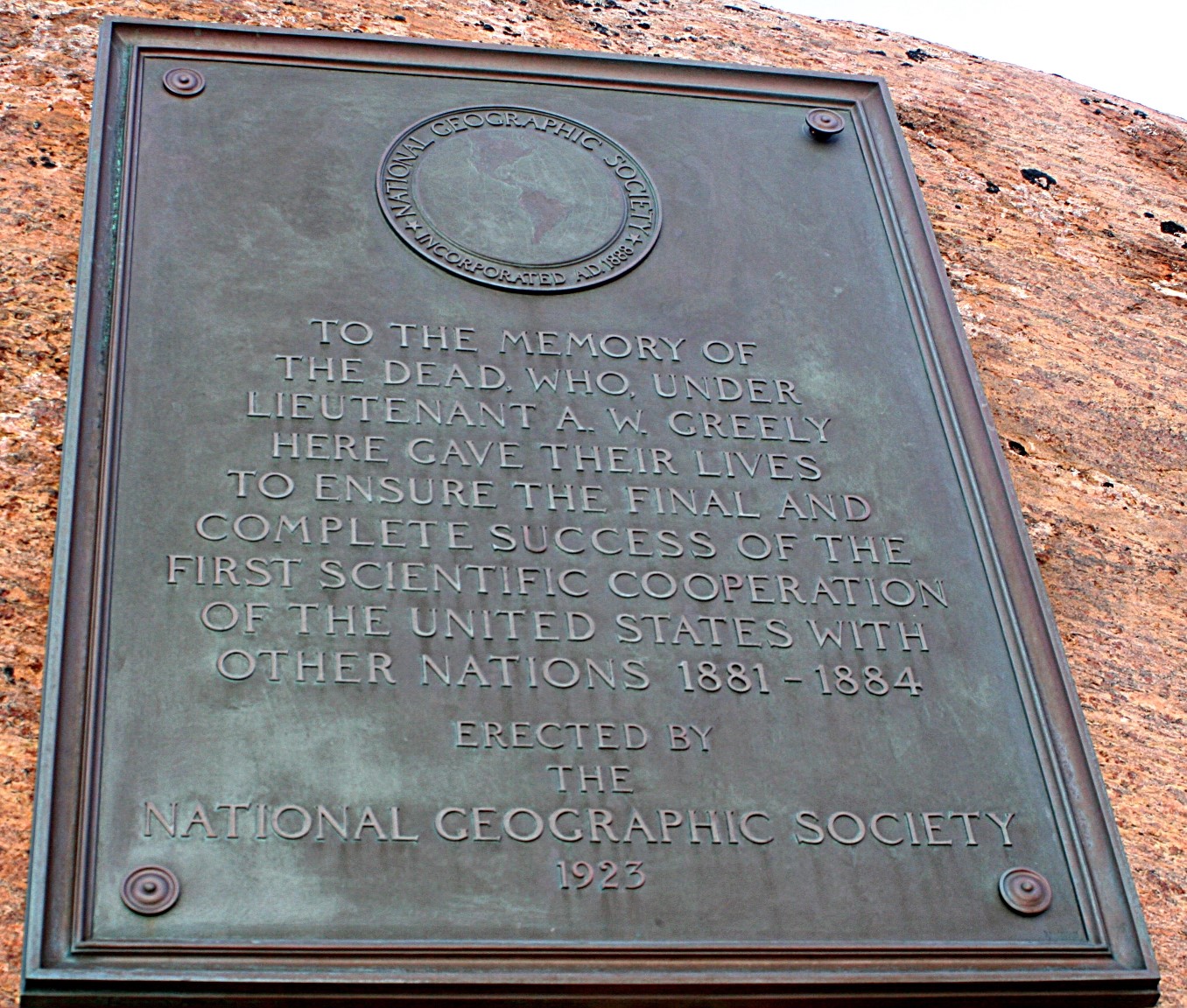
* The Lady Franklin Bay Expedition of 1881–1884 to Lady Franklin Bay on Ellesmere Island in the Canadian Arctic was led by Lieutenant Adolphus Greely, and was promoted by the United States Army Signal Corps. Its purpose was to establish a meteorological-observation station as part of the First International Polar Year, and to collect astronomical and magnetic data. During the expedition, two members of the crew reached a new Farthest North record, but of the original twenty-five men, only seven survived to return. The expedition was under the auspices of the Signal Corps at a time when the Corps' Chief Disbursements officer, Henry W. Howgate, was arrested for embezzlement. However, that did not deter the planning and execution of the voyage. Expedition First year, 1881 The Lady Franklin Bay Expedition was led by Lieutenant Adolphus W. Greely of the Fifth United States Cavalry, with astronomer Edward Israel and photographer George W. Rice among the crew of twenty-one ... [...More Info...] [...Related Items...] OR: [Wikipedia] [Google] [Baidu] |
Fort Conger
Fort Conger is a former settlement, military fortification, and scientific research post in the Qikiqtaaluk Region, Nunavut, Canada. It was established in 1881 as an Arctic exploration camp, notable as the site of the first major northern polar region scientific expedition, the Lady Franklin Bay Expedition, led by Adolphus Greely as part of the United States government's contribution to the First International Polar Year. It was later occupied by Robert Peary during some of his Arctic expeditions. Fort Conger is located on the northern shore of Lady Franklin Bay in Grinnell Land, northeastern Ellesmere Island within Quttinirpaaq National Park. Bellot Island lies across from Fort Conger within Discovery Harbour. Though lacking in timber, the area is characterized by grasses and sedges. The surroundings are rugged and boast high cliffs around the harbour. Now uninhabited, it is one of only a handful of previously staffed stations in the Queen Elizabeth Islands. In 1991, some of t ... [...More Info...] [...Related Items...] OR: [Wikipedia] [Google] [Baidu] |
Massachusetts Bay Colony
The Massachusetts Bay Colony (1630–1691), more formally the Colony of Massachusetts Bay, was an English settlement on the east coast of North America around the Massachusetts Bay, the northernmost of the several colonies later reorganized as the ''Province of Massachusetts Bay''. The lands of the settlement were in southern New England, with initial settlements on two natural harbors and surrounding land about apart—the areas around Salem and Boston, north of the previously established Plymouth Colony. The territory nominally administered by the Massachusetts Bay Colony covered much of central New England, including portions of Massachusetts, Maine, New Hampshire, and Connecticut. The Massachusetts Bay Colony was founded by the owners of the Massachusetts Bay Company, including investors in the failed Dorchester Company, which had established a short-lived settlement on Cape Ann in 1623. The colony began in 1628 and was the company's second attempt at colonization. It was su ... [...More Info...] [...Related Items...] OR: [Wikipedia] [Google] [Baidu] |
Edmund Rice (1638)
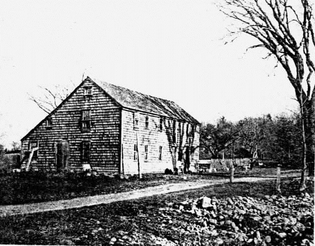
Edmund Rice (c. 1594 – 3 May 1663), was an early immigrant to Massachusetts Bay Colony born in Suffolk, England. He lived in Stanstead, Suffolk and Berkhamsted, Hertfordshire before sailing with his family to America. He landed in the Colony in summer or fall of 1638, thought to be first living in the town of Watertown, Massachusetts. Shortly thereafter he was a founder of Sudbury in 1638, and later in life was one of the thirteen petitioners for the founding of Marlborough in 1656. He was a deacon in the Puritan Church, and served in town politics as a selectman and judge. He also served five years as a member of the Great and General Court, the combined colonial legislature and judicial court of Massachusetts. Biography Edmund Rice's rough birth date of 1594 is reckoned from a 3 April 1656 court deposition in Massachusetts in which he stated that he was 62 years old. His likely birthplace, somewhere in Suffolk in East Anglia, is found through the town of his mar ... [...More Info...] [...Related Items...] OR: [Wikipedia] [Google] [Baidu] |
Loch Line
The Loch Line of Glasgow, Scotland, was a group of colonial clippers managed by Messrs William Aitken and James Lilburn. They plied between the United Kingdom and Australia from 1867 to 1911.Fayle, Charles (2006)''A Short History of the World's Shipping Industry'' Routledge. OCLC: 77081659The Loch Line (2007) Retrieved on 21 September 2008. History In the late 1860s, Messrs Aitken and Lilburn formed the Glasgow Shipping Company with six 1,200-ton iron sailing clippers. In 1873 a second company, the General Shipping Company, was formed with a different group of investors, but also managed by Aitken and Lilburn. Originally, the Glasgow Shipping Company was intended to serve Adelaide and Melbourne and the General Shipping Company to serve Sydney, but over time the two companies merged and were only distinguished for shareholding purposes.Glasgow Shipping Co. (2006)''The Ships List''. Retrieved 25 March 2008. The merged companies rapidly grew and became commonly and officially known a ... [...More Info...] [...Related Items...] OR: [Wikipedia] [Google] [Baidu] |
HMS Alert (1856)
HMS ''Alert'' was a 17-gun wooden screw sloop of the of the Royal Navy, launched in 1856 and broken up in 1894. She was the eleventh ship of the Royal Navy to bear the name (or a variant of it), and was noted for her Arctic exploration work; in 1876 she reached a record latitude of 82° North. ''Alert'' briefly served with the US Navy, and ended her career with the Canadian Marine Service as a lighthouse tender and buoy ship. Construction The wooden sloops of the ''Cruizer'' class were designed under the direction of Lord John Hay, and after his "Committee of Reference" was disbanded, their construction was supervised by the new Surveyor of the Navy, Sir Baldwin Walker. Ordered together with her co-ship on 2 April 1853, ''Alert'' was laid down at the Royal Dockyard, Pembroke in January 1855. It was fitted at Chatham with a two-cylinder horizontal single-expansion steam engine, which was supplied by Ravenhill & Salkeld at a cost of £6,052 and generated an indicated horse ... [...More Info...] [...Related Items...] OR: [Wikipedia] [Google] [Baidu] |
USS Thetis (1881)
The first USS ''Thetis'' was a three-masted, wooden-hulled steam whaler in the United States Navy used to rescue a polar expedition and later in the Revenue Cutter Service. ''Thetis'' was built in 1881 at Dundee, Scotland, by Alexander Stephen & Sons. She was acquired by the U.S. Navy on 2 February 1884 to be employed by the expedition to relieve the polar exploration party under the command of Lt. Adolphus W. Greely. She sailed from Dundee under the command of Lt. L. L. Reamey and arrived in New York on 23 March 1884. Rescue After more than a month of preparations, ''Thetis''—now under the command of Commander Winfield Scott Schley, who also headed the relief squadron—departed New York on 1 May. Ice flows and heavy weather hampered the search all along the way. ''Thetis'' did not even reach Upernavik, Greenland, her jumping-off point, until the latter part of the month. She departed that port on the 29th in company with and headed north. Along the way, she made stops a ... [...More Info...] [...Related Items...] OR: [Wikipedia] [Google] [Baidu] |
Bear (ship)
USS ''Bear'' was a dual steam-powered and sailing ship built with -thick sides which had a long life in various cold-water and ice-filled environs. She was a forerunner of modern icebreakers and had a diverse service life. According to the United States Coast Guard official website, ''Bear'' is described as "probably the most famous ship in the history of the Coast Guard." Built in Scotland in 1874 as a steamer for sealing, she was owned and operated from Newfoundland for ten years. In the mid-1880s, she took part in the search for the Greely Expedition. Captained by Michael Healy of the United States Revenue Cutter Service (later part of the U.S. Coast Guard), she worked the coastline of Alaska. She later assisted with relief efforts after the 1906 San Francisco earthquake. Her services also included the second expedition of Admiral Richard E. Byrd to Antarctica, and again to the southernmost continent in 1941 to evacuate Americans at the beginning of World War II. She lat ... [...More Info...] [...Related Items...] OR: [Wikipedia] [Google] [Baidu] |
Cape Sabine
Cape Sabine is a land point on Pim Island, off the eastern shores of the Johan Peninsula, Ellesmere Island, in the Smith Sound, Qikiqtaaluk Region, Nunavut, Canada. History The cape was named after Arctic explorer Arctic exploration is the physical exploration of the Arctic region of the Earth. It refers to the historical period during which mankind has explored the region north of the Arctic Circle. Historical records suggest that humankind have explored ... Sir Edward Sabine (1788–1883), was the site of the winter camp of Adolphus Greely and the Lady Franklin Bay Expedition in 1883–1884. Notable people * Edward Israel References External links2004 Recreation of Expedition Peninsulas of Qikiqtaaluk Region {{QikiqtaalukNU-geo-stub ... [...More Info...] [...Related Items...] OR: [Wikipedia] [Google] [Baidu] |
Smith Sound
Smith Sound ( da, Smith Sund; french: Détroit de Smith) is an uninhabited Arctic sea passage between Greenland and Canada's northernmost island, Ellesmere Island. It links Baffin Bay with Kane Basin and forms part of the Nares Strait. On the Greenland side of the sound were the now abandoned settlements of Etah and Annoatok. History The first known visit to the area by Europeans was in 1616 when the ''Discovery'', captained by Robert Bylot and piloted by William Baffin, sailed into this region. The sound was originally named ''Sir Thomas Smith's Bay'' after the English diplomat Sir Thomas Smythe. By the 1750s it regularly appeared on maps as ''Sir Thomas Smith's Sound'', though no further exploration of the area would be recorded until John Ross' 1818 expedition. By this time it had begun to be known simply as ''Smith Sound''. In 1852 Edward Augustus Inglefield penetrated a little further than Baffin, establishing a new furthest north in North America. References Further ... [...More Info...] [...Related Items...] OR: [Wikipedia] [Google] [Baidu] |
Pim Island
Pim Island (previously Bedford Pim Island) is located off the eastern coast of Ellesmere Island, part of the Qikiqtaaluk Region of the Canadian territory of Nunavut. Located within the Arctic Archipelago, it is a part of the Queen Elizabeth Islands. Pim Island is separated from Ellesmere Island by Rice Strait, the waterway that connects Rosse Bay to the south and Buchanan Bay to the north. Nares Strait is to the east. Pim Island is from Cocked Hat Island. History The Adolphus Greely expedition wintered at Camp Clay in 1883, and in 1884, Cape Sabine Cape Sabine is a land point on Pim Island, off the eastern shores of the Johan Peninsula, Ellesmere Island, in the Smith Sound, Qikiqtaaluk Region, Nunavut, Canada. History The cape was named after Arctic explorer Arctic exploration is the ... was the rescue site for Greely and the Lady Franklin Bay Expedition. The island is named in honour of naval officer and barrister Bedford Pim of . References External links Pim ... [...More Info...] [...Related Items...] OR: [Wikipedia] [Google] [Baidu] |


_pushed_aground_by_ice.jpg)


