|
Geography Of Palau
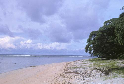
The Republic of Palau consists of eight principal islands and more than 250 smaller ones lying roughly 500 miles southeast of the Philippines, in Oceania. The islands of Palau constitute the westernmost part of the Caroline Islands chain. The country includes the World War II battleground of Peleliu and world-famous rock islands. The total land area is . It has the 42nd largest Exclusive Economic Zone of . Landform The Palau archipelago contains more than 250 islands and islets stretched along a 150 km north south trending arc in the western Pacific. Its center is located near 7° north latitude, some 650 km north of Jaya on the island of New Guinea , and near 134° east latitude, some 900 km east of Mindanao, Philippines. The geologically diverse archipelago is dominated by Babeldaob, primarily a volcanic island, whose 363 km² area represents more than three fourths of Palau's total land mass. The remaining 90km² are divided among three volcanic islands, two atolls, and ... [...More Info...] [...Related Items...] OR: [Wikipedia] [Google] [Baidu] |
Pacific Ocean
The Pacific Ocean is the largest and deepest of Earth's five oceanic divisions. It extends from the Arctic Ocean in the north to the Southern Ocean (or, depending on definition, to Antarctica) in the south, and is bounded by the continents of Asia and Oceania in the west and the Americas in the east. At in area (as defined with a southern Antarctic border), this largest division of the World Ocean—and, in turn, the hydrosphere—covers about 46% of Earth's water surface and about 32% of its total surface area, larger than Earth's entire land area combined .Pacific Ocean . '' Britannica Concise.'' 2008: Encyclopædia Britannica, Inc. The centers of both the |
Bililiou
Peleliu (or Beliliou) is an island in the island nation of Palau. Peleliu, along with two small islands to its northeast, forms one of the sixteen states of Palau. The island is notable as the location of the Battle of Peleliu in World War II. History Beliliou was traditionally divided into five villages. Teliu is located on the southwest coast bordered on the north by Ngerkeiukl on the west coast, Ngesias in the central portion of the island, and Ngerdelolk on the east coast. Ngerchol occupies the northern part of the island on the west side of Bloody Nose Ridge. Most of the surface remains of the traditional villages have been obliterated. However, the locations of the villages and the locations of features within the villages, including odesongel, are known and preserved in the oral tradition. These traditional features are important symbols giving identity to families, clans and regions. The lagoon and adjacent rock islands are important resource areas, and probably were int ... [...More Info...] [...Related Items...] OR: [Wikipedia] [Google] [Baidu] |
Calcareous
Calcareous () is an adjective meaning "mostly or partly composed of calcium carbonate", in other words, containing lime or being chalky. The term is used in a wide variety of scientific disciplines. In zoology ''Calcareous'' is used as an adjectival term applied to anatomical structures which are made primarily of calcium carbonate, in animals such as gastropods, i.e., snails, specifically about such structures as the operculum, the clausilium, and the love dart. The term also applies to the calcium carbonate tests of often more or less microscopic Foraminifera. Not all tests are calcareous; diatoms and radiolaria have siliceous tests. The molluscs are calcareous, as are calcareous sponges ( Porifera), that have spicules which are made of calcium carbonate. In botany ''Calcareous grassland'' is a form of grassland characteristic of soils containing much calcium carbonate from underlying chalk or limestone rock. In medicine The term is used in pathology, for example i ... [...More Info...] [...Related Items...] OR: [Wikipedia] [Google] [Baidu] |
Swamp
A swamp is a forested wetland.Keddy, P.A. 2010. Wetland Ecology: Principles and Conservation (2nd edition). Cambridge University Press, Cambridge, UK. 497 p. Swamps are considered to be transition zones because both land and water play a role in creating this environment. Swamps vary in size and are located all around the world. The water of a swamp may be fresh water, brackish water, or seawater. Freshwater swamps form along large rivers or lakes where they are critically dependent upon rainwater and seasonal flooding to maintain natural water level fluctuations.Hughes, F.M.R. (ed.). 2003. The Flooded Forest: Guidance for policy makers and river managers in Europe on the restoration of floodplain forests. FLOBAR2, Department of Geography, University of Cambridge, Cambridge, UK. 96 p. Saltwater swamps are found along tropical and subtropical coastlines. Some swamps have hammock (ecology), hammocks, or dry-land protrusions, covered by aquatic vegetation, or vegetation that tolerates ... [...More Info...] [...Related Items...] OR: [Wikipedia] [Google] [Baidu] |
Intertidal Zone
The intertidal zone, also known as the foreshore, is the area above water level at low tide and underwater at high tide (in other words, the area within the tidal range). This area can include several types of habitats with various species of life, such as seastars, sea urchins, and many species of coral with regional differences in biodiversity. Sometimes it is referred to as the ''littoral zone'' or '' seashore'', although those can be defined as a wider region. The well-known area also includes steep rocky cliffs, sandy beaches, bogs or wetlands (e.g., vast mudflats). The area can be a narrow strip, as in Pacific islands that have only a narrow tidal range, or can include many meters of shoreline where shallow beach slopes interact with high tidal excursion. The peritidal zone is similar but somewhat wider, extending from above the highest tide level to below the lowest. Organisms in the intertidal zone are adapted to an environment of harsh extremes, living in water pr ... [...More Info...] [...Related Items...] OR: [Wikipedia] [Google] [Baidu] |
Koror
Koror is the state comprising the main commercial centre of the Republic of Palau. It consists of several islands, the most prominent being Koror Island (also ''Oreor Island''). It is Palau’s most populous state. History In the oral tradition of Palau, Koror is one of the children of Milad, and thus occupies an important position in traditional belief. In addition, Koror is the home of the clan of the Ibedul, the high chief of Palau. Several traditional villages in Koror span the volcanic and rock island portions. Many of the stone platforms , odesongel, serve as clan cemeteries, and other stone features serve as shrines. The lagoon is an important resource area, and was probably intensively exploited prehistorically. The first sighting of Koror, Babeldaob, and Peleliu recorded by Westerners was by the Spanish expedition of Ruy López de Villalobos at the end of January, 1543. They were then charted as ''Los Arrecifes'' (The Reefs in Spanish). In November and December 1710 ... [...More Info...] [...Related Items...] OR: [Wikipedia] [Google] [Baidu] |
Airai
Airai, located on the southern coast of Babeldaob island, is the second-most populous state of Palau. It contains the country's chief airport, Roman Tmetuchl International Airport, and is connected by the Koror–Babeldaob Bridge to nearby Koror Island. Geography The state has an area of 44 km2 (17 mi2), and a total population of 2,455 Census, the second largest in the country. Airai, located in the southeast corner of Babeldaob, includes a large area in the interior, a thick fringe of mangroves, and several limestone rock islands extending out of the mangroves into the lagoon. At the southeast corner is the large and shallow Airai Bay. The interior and southeast part of the state is drained by the Ngerikiil River, with its tributaries including the Kmekumer and Chedeng. This drainage is one of the largest in Palau. The Ngerimel River, which supplies water for Airai and Koror from a reservoir, occupies a small drainage on the west side of Rois Tungd in the south c ... [...More Info...] [...Related Items...] OR: [Wikipedia] [Google] [Baidu] |
Tuff
Tuff is a type of rock made of volcanic ash ejected from a vent during a volcanic eruption. Following ejection and deposition, the ash is lithified into a solid rock. Rock that contains greater than 75% ash is considered tuff, while rock containing 25% to 75% ash is described as tuffaceous (for example, ''tuffaceous sandstone''). Tuff composed of sandy volcanic material can be referred to as volcanic sandstone. Tuff is a relatively soft rock, so it has been used for construction since ancient times. Because it is common in Italy, the Romans used it often for construction. The Rapa Nui people used it to make most of the ''moai'' statues on Easter Island. Tuff can be classified as either igneous or sedimentary rock. It is usually studied in the context of igneous petrology, although it is sometimes described using sedimentological terms. Tuff is often erroneously called tufa in guidebooks and in television programmes. Volcanic ash The material that is expelled in a volcanic ... [...More Info...] [...Related Items...] OR: [Wikipedia] [Google] [Baidu] |
Interbedded
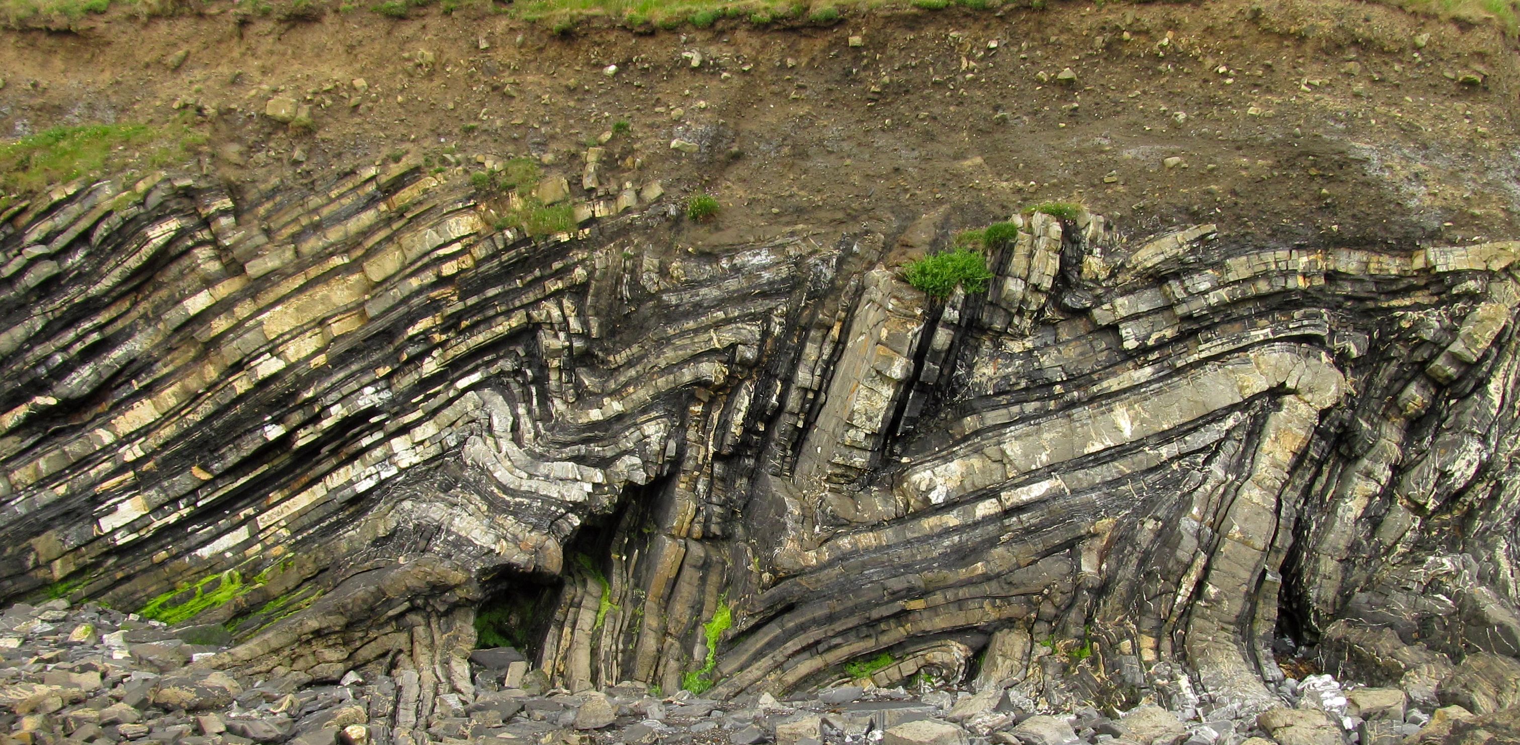
In geology, interbedding occurs when beds (layers of rock) of a particular lithology lie between or alternate with beds of a different lithology. For example, sedimentary rocks may be interbedded if there were sea level variations in their sedimentary depositional environment. Intercalation is a special case of interbedding where a layer is variably inserted into an already existing sequence; or where two separate depositional environments in close spatial proximity migrate alternately across the contact. While interbedding has layers that are horizontally flat (or aligned with the angle of the entire stratum), intercalated rock on the other hand has slanted layers that streak through each other (even when it aligns with the stratum). For example intercalated conglomerate and sandstone looks like ripples of different material networked through each other somewhat off the horizontal, as the beds are deposited in a gradient. This is likely due to differing fluvial conditions and ... [...More Info...] [...Related Items...] OR: [Wikipedia] [Google] [Baidu] |
Volcanic Breccia
Breccia () is a rock composed of large angular broken fragments of minerals or rocks cemented together by a fine-grained matrix. The word has its origins in the Italian language, in which it means "rubble". A breccia may have a variety of different origins, as indicated by the named types including sedimentary breccia, tectonic breccia, igneous breccia, impact breccia, and hydrothermal breccia. A megabreccia is a breccia composed of very large rock fragments, sometimes kilometers across, which can be formed by landslides, impact events, or caldera collapse. Types Breccia is composed of coarse rock fragments held together by cement or a fine-grained matrix. Like conglomerate, breccia contains at least 30 percent of gravel-sized particles (particles over 2mm in size), but it is distinguished from conglomerate because the rock fragments have sharp edges that have not been worn down. These indicate that the gravel was deposited very close to its source area, since otherwise th ... [...More Info...] [...Related Items...] OR: [Wikipedia] [Google] [Baidu] |
Hatohobei
Tobi, or Hatohobei ( Tobian), is the southernmost of Palau's sixteen states, consisting of Tobi Island and Helen Reef. The total land area is about 0.88 km². The population was 25 in 2015. Tobian, English, and Sonsorolese are the official languages of Hatohobei State. Not only is it Palau’s least populous state, but it is the least populous first-level administrative subdivision in the world as well. Political system The state of Tobi, with a population of 25, has an elected chief executive, the Governor. The state also has a legislature elected every four years. The state population elects one of the members of the House of Delegates of Palau. Geography Tochobei (Tobi) is located some 450 km southwest of Angaur. These small outer islands are both physically and culturally distinct from the rest of Palau. The islands are miniature platforms of raised reef composed of coralline limestone. The islands have sandy soils covered with atoll-like vegetation. Tochobe ... [...More Info...] [...Related Items...] OR: [Wikipedia] [Google] [Baidu] |
Sonsorol
Sonsorol is one of the sixteen states of Palau. The inhabitants speak Sonsorolese, a local Chuukic language, and Palauan. The islands of the state of Sonsorol, together with the islands of Hatohobei, form the Southwest Islands of Palau. History The first sighting by Europeans of the Sonsorols, was that of Sonsorol and Fanna by the Spanish ship ''Trinidad'' then commanded by Gonzalo Gómez de Espinosa on 6 May 1522. These two were collectively charted as ''San Juan'' islands (St.John) as they were sighted on the day of its festivity. A Spanish missionary expedition commanded by Sargento Mayor Francisco Padilla arrived to Sonsorol on 30 November 1710, coming from Manila on board of patache ''Santísima Trinidad''. In 1712 they were explored by an expedition commanded by Spanish naval officer Bernardo de Egoy. In 1899 Spain decided to sell the islands to Germany, which lost control over the territory in World War I, when Japan took over. The United States took possession of ... [...More Info...] [...Related Items...] OR: [Wikipedia] [Google] [Baidu] |
.jpg)


