|
Ganjam
Ganjam is a town and a notified area council in Ganjam district in the state of Odisha, India. Brahmapur, one of the major city of Odisha is situated in this district. Geography Ganjam is located at in the Ganjam district of Odisha with an elevation of 3 metres (9 feet). Ganjam's mineral-rich coast line extends over 60 km. It provides opportunities for fishing and port facility at Gopalpur for international trade. The rivers like Rushikulya, Dhanei, Bahuda, Ghoda Hada are the source of agriculture and power sectors of the town. Economic wise, Ganjam is a sub industrial town. The Chilika Lake, which attracts tourists, is known for its scenery and a bird sanctuary is situated in the eastern part of district, near the City of Ganjam. Ganjam shares its boundary with Andhra Pradesh. A mix of moist peninsular high and low level Sal forests, tropical moist and dry deciduous and tropical deciduous forest types provide a wide range of forest products and unique lifestyle to wild ... [...More Info...] [...Related Items...] OR: [Wikipedia] [Google] [Baidu] |
Chhatrapur
Chhatrapur (also spelt as Chhatarpur) is a town and a Notified Area Council since 1955 in Ganjam district in the state of Odisha, India. It is the district headquarters town of Ganjam district. Chhatrapur is a Tehsil / Block (CD) in the Ganjam District of Odisha. According to Census 2011 information the sub-district code of Chhatrapur block is 03085. Total area of Chhatrapur is including rural area and urban area. Chhatrapur has a population of 94,683 people. There are 20,415 houses in the sub-district. There are about 46 villages in Chhatrapur block. Demographics India census, Chhatrapur had a population of 22,027 (Second biggest city in the district of Ganjam after Berhampur. Males constitute 51% of the population and females 49%. Chhatrapur has an average literacy rate of 89%, higher than the national average of 59.5%; with male literacy of 85% and female literacy of 73%. 10% of the population is under 6 years of age. Transport Chhatrapur is the administrative capita ... [...More Info...] [...Related Items...] OR: [Wikipedia] [Google] [Baidu] |
Ganjam Railway Station
Ganjam railway station is a railway station on the East Coast Railway network in the state of Odisha, India. It serves Ganjam town. Its code is GAM. It has four platforms. Passenger, MEMU, Express trains halt at Ganjam railway station. Major trains * Hirakhand Express * Bhubaneshwar–Visakhapatnam Intercity Express Bhubaneshwar–Visakhapatnam Intercity Express is a Superfast train running between Bhubaneswar and Visakhapatnam along the eastern coastal region of India. This train was introduced in the year 2001 from Palasa to Bhubaneswar later it extend ... * Puri–Tirupati Express See also * Ganjam district Gallery File:GAM RailwayStation 01.jpg, Ganjam railway station File:GAM RailwayStation 05.jpg, Ganjam railway station File:GAM RailwayStation 02.jpg, Ganjam railway station File:GAM RailwayStation 03.jpg, Ganjam railway station File:GAM RailwayStation 04.jpg, Ganjam railway station References Railway stations in Ganjam district Khurda Road railway divi ... [...More Info...] [...Related Items...] OR: [Wikipedia] [Google] [Baidu] |
Odisha
Odisha (English: , ), formerly Orissa ( the official name until 2011), is an Indian state located in Eastern India. It is the 8th largest state by area, and the 11th largest by population. The state has the third largest population of Scheduled Tribes in India. It neighbours the states of Jharkhand and West Bengal to the north, Chhattisgarh to the west, and Andhra Pradesh to the south. Odisha has a coastline of along the Bay of Bengal in Indian Ocean. The region is also known as Utkala and is also mentioned in India's national anthem, " Jana Gana Mana". The language of Odisha is Odia, which is one of the Classical Languages of India. The ancient kingdom of Kalinga, which was invaded by the Mauryan Emperor Ashoka (which was again won back from them by King Kharavela) in 261 BCE resulting in the Kalinga War, coincides with the borders of modern-day Odisha. The modern boundaries of Odisha were demarcated by the British Indian government when Orissa Province was es ... [...More Info...] [...Related Items...] OR: [Wikipedia] [Google] [Baidu] |
History Of Odisha
Human history in Odisha begins in the Lower Paleolithic era, as Acheulian tools dating to the period have been discovered in various places in the region. The early history of Odisha can be traced back to the mentions found in ancient texts like the ''Mahabharata'', ''Maha Govinda Sutta'' and some ''Puranas''.The region was also known to other kingdoms in region of East Indies due to maritime trade relations. The year 1568 CE is considered a pivotal point in the region's history. In 1568 CE, the region was conquered by the armies of the Sultanate of Bengal led by the iconoclast general Kalapahad. The region lost its political identity. The following rulers of the region were more tributary lords than actual kings. After 1751, the Marathas gained control of the region. During the Maratha administration, literature and poetry flourished. In 1803, the region was passed onto the British Empire. The British divided the region into parts of other provinces. In 1936, the province ... [...More Info...] [...Related Items...] OR: [Wikipedia] [Google] [Baidu] |
Taratarini Temple
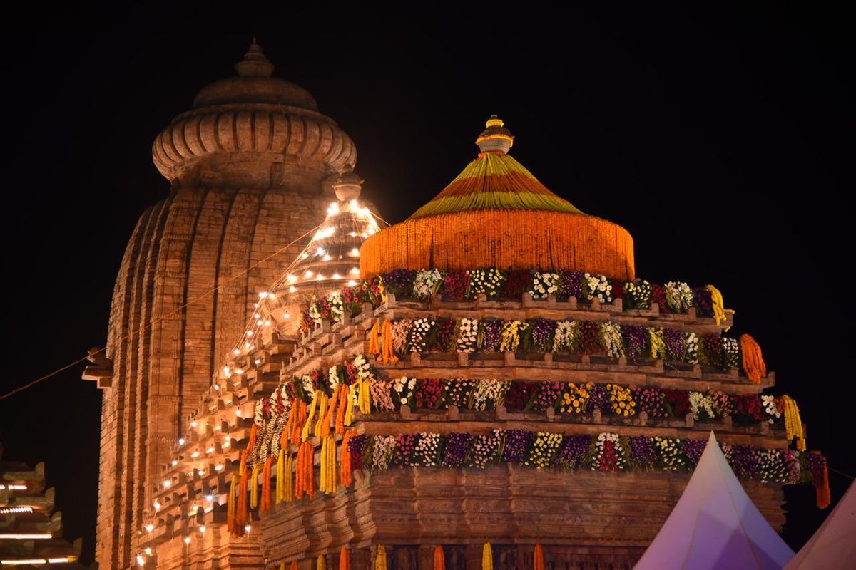
Tara Tarini Temple is a famous Hindu shrine of Adi Shakti on Kumari hills at the bank of river Rushikulya near Purushottampur in Ganjam district of Odisha. Maa Tara Tarini is worshiped as the Breast Shrine (Sthana Peetha) of Adi Shakti here. The temple is one of the oldest pilgrimage centers of Mother goddesses and one of the four major Shakti Peethas of India. Abode of Tara Tarini Adi Shakti Maa Tara Tarini have been regarded as the presiding deity (Ista-Devi) in many households in Odisha. This holy shrine is in the eastern coast, about 30 km from the commercial nerve centre of Odisha, Brahmapur. The historically famous Jaugada Rock Edict of Emperor Ashoka and the pious river Rushikulya, which has been described in Rig Veda as ''Gangayah Jyestha Bhagini'' (the elder sister of the Ganga), are also present near this shrine enhancing its religious and cultural significance. Since time immemorial, Adyashakti is being worshiped here as Devi Tara Tarini on the blue capped ho ... [...More Info...] [...Related Items...] OR: [Wikipedia] [Google] [Baidu] |
Gopalpur-on-Sea
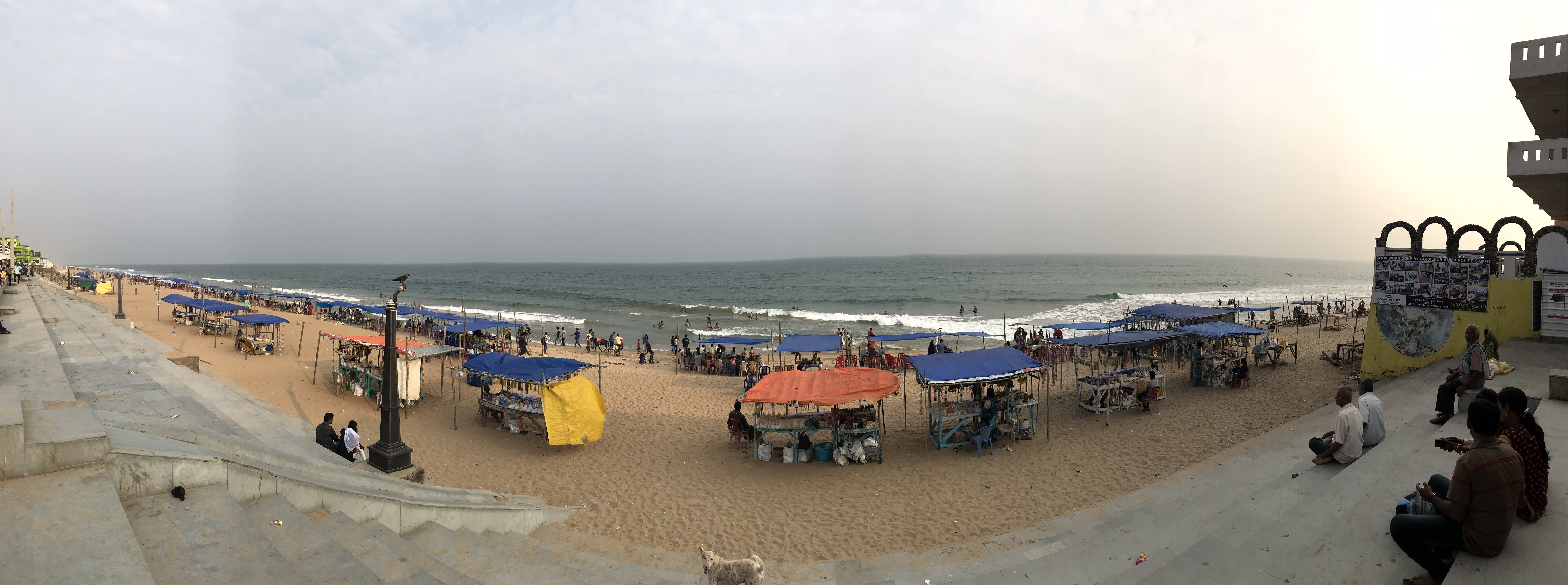
Gopalpur is a coastal town and a Notified Area Council on the Bay of Bengal coast in Ganjam district in the southern part of Odisha, India. Today it is a commercial port, a famous sea beach and a tourist destination. Gopalpur is around 15 km from Berhampur. The reconstruction of an all weather port including new berths is under development. Demographics As of 2001 India census, Gopalpur had a population of 6663. Males constitute 50% of the population and females 50%. Gopalpur has an average literacy rate of 59%, lower than the national average of 59.5%: male literacy is 59%, and female literacy is 42%. In Gopalpur, 12% of the population is under 6 years of age. History Ancient Kalinga era Gopalpur has an ancient sea port which was operational during the heyday of maritime Kalinga region. It is identified with the site Mansurkota located near Gopalpur, just below the mouth of the river Rushikulya. Ptolemy refers to an apheterion or the point of departure located south of ... [...More Info...] [...Related Items...] OR: [Wikipedia] [Google] [Baidu] |
Rushikulya
The Rushikulya River is one of the major rivers in the state of Odisha and covers entire catchment area in the districts of Kandhamal and Ganjam of Odisha. The Rushikulya originates at an elevation of about 1000 metres from Daringbadi hills of the Eastern Ghats range. The place from where the river originates, Daringbadi is called the ' Kashmir of Odisha '. The river lies within the geographical coordinates of 19.07 to 20.19 north latitude and 84.01 to 85.06 east longitude. It meets the Bay of Bengal at Puruna Bandha in Ganjam. Its tributaries are the Baghua, the Dhanei, the Badanadi etc. It has no delta as such at its mouth. River course The river flows from the Daringbadi hill station in Kandhamal district. In the Ganjam district it flows through Surada, Dharakote, Asika, Pitala, Purusottampur, Taratarini, Pratappur, Alladigam, Brahmapur, Ganjam and the Chhatrapur block. The river is 165 km long with a total catchment area of 7700 km2. The mean monthly flow ... [...More Info...] [...Related Items...] OR: [Wikipedia] [Google] [Baidu] |
Odia Language
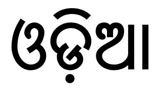
Odia (, ISO: , ; formerly rendered Oriya ) is an Indo-Aryan language spoken in the Indian state of Odisha. It is the official language in Odisha (formerly rendered Orissa), where native speakers make up 82% of the population, and it is also spoken in parts of West Bengal, Jharkhand, Andhra Pradesh and Chhattisgarh. Odia is one of the many official languages of India; it is the official language of Odisha and the second official language of Jharkhand. The language is also spoken by a sizeable population of 700,000 people in Chhattisgarh. Odia is the sixth Indian language to be designated a classical language, on the basis of having a long literary history and not having borrowed extensively from other languages. The earliest known inscription in Odia dates back to the 10th century CE. History Odia is an Eastern Indo-Aryan language belonging to the Indo-Aryan language family. It descends from Odra Prakrit, which evolved from Magadhi Prakrit, which was spoken in east I ... [...More Info...] [...Related Items...] OR: [Wikipedia] [Google] [Baidu] |
Chilika Lake
Chilika Lake is a brackish water lagoon, spread over the Puri, khordha and Ganjam districts of Odisha state on the east coast of India, at the mouth of the Daya River, flowing into the Bay of Bengal, covering an area of over . It is the biggest lake of India after Vembanad Lake. This lake is the largest coastal lagoon in India and the largest brackish water lagoon in the world after The New Caledonian barrier reef. It has been listed as a tentative UNESCO World Heritage site. It is a salt water lake. It is the largest wintering ground for migratory birds on the Indian sub-continent. The lake is home to a number of threatened species of plants and animals. The lake is an ecosystem with large fishery resources. It sustains more than 150,000 fisher–folk living in 132 villages on the shore and islands. The lagoon hosts over 160 species of birds in the peak migratory season. Birds from as far as the Caspian Sea, Lake Baikal, Aral Sea and other remote parts of Rus ... [...More Info...] [...Related Items...] OR: [Wikipedia] [Google] [Baidu] |
List Of Districts Of India
A district (''Zila (country subdivision), zila'') is an administrative division of an States and union territories of India, Indian state or territory. In some cases, districts are further subdivided into sub-divisions, and in others directly into tehsil, ''tehsils'' or ''talukas''. , there are a total of 766 districts, up from the 640 in the 2011 Census of India and the 593 recorded in the 2001 Census of India. District officials include: *District magistrate (India), District Magistrate or Deputy Commissioner or District Collector, an officer of the Indian Administrative Service, in charge of Public administration, administration and revenue collection *Superintendent of Police (India), Superintendent of Police or Senior Superintendent of Police or Deputy Commissioner of Police, an officer belonging to the Indian Police Service, responsible for maintaining Law and order (politics), law and order *Deputy Conservator of Forests, an officer belonging to the Indian Forest Service ... [...More Info...] [...Related Items...] OR: [Wikipedia] [Google] [Baidu] |


.png)


