|
Gangavalli River
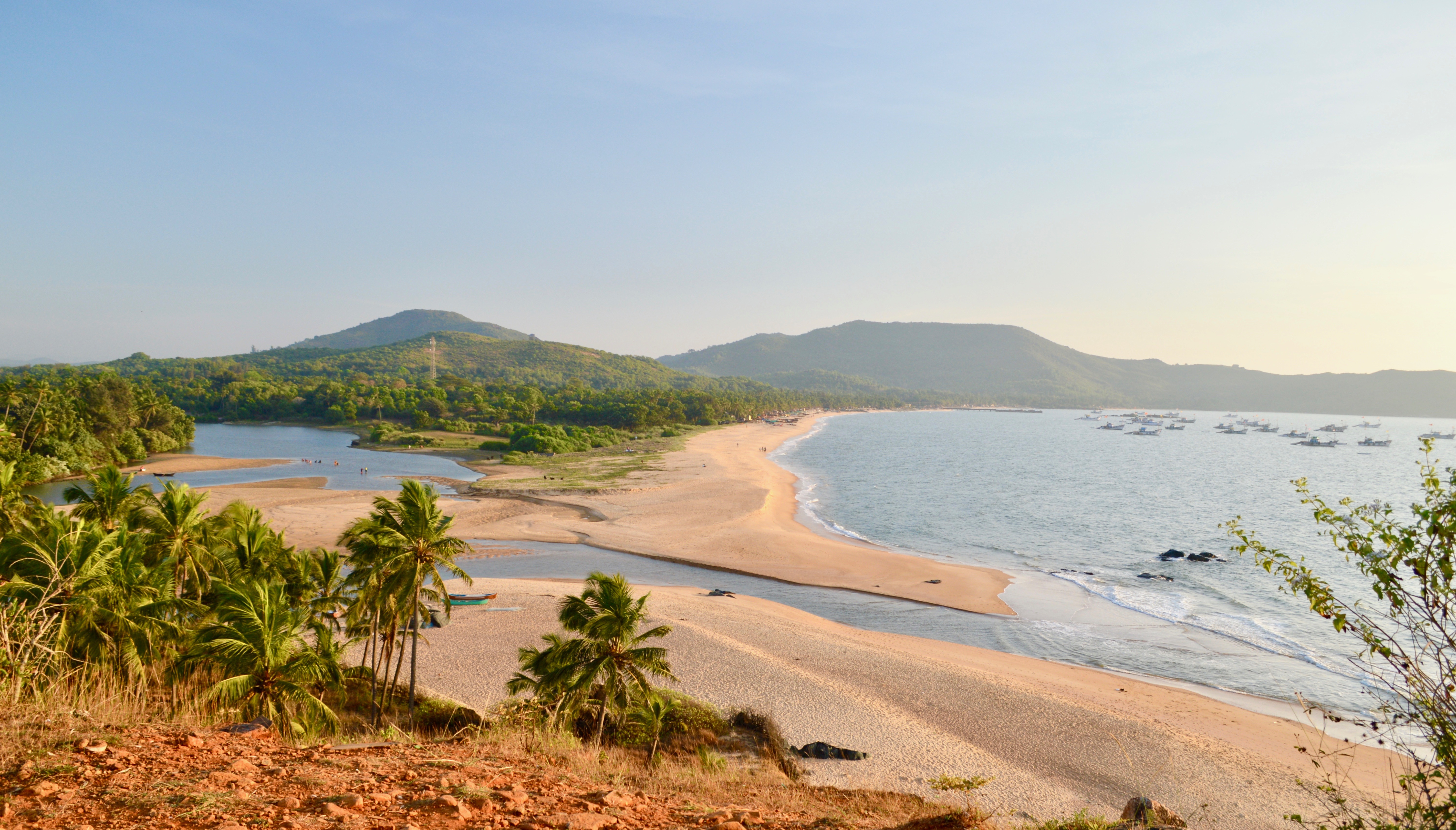
Gangavalli River is one of the many small rivers that originates and flows entirely within the western part of state of Karnataka in India. The National Highway 17 (India) continues on the Hosur Bridge the bridge built over Gangavali River and the road continues to split the Ankola and Kumta regions to connect Uttar Kannada district to Dharwar and Mangalore area. Origin and topography Gangavalli River (also called Bedthi River) originates from the Western Ghats the south of Dharwad (Near Someshwara temple) as Shalmala and flows in the west direction to meet the Arabian sea just after the Ganga temple. Here the River embraces the name Gangavalli from the Goddess Ganga; the village in this area carries the same name Gangavalli. This stream joins at Kalghatgi about lower down to the Bedthi River that takes its birth near Hubli. River then flows west and then south-west for a total distance of 69 km. This river has a catchment area of and has a total length of . On its cou ... [...More Info...] [...Related Items...] OR: [Wikipedia] [Google] [Baidu] |
Dabhol Beach
Dabhol (Marathi pronunciation: ̪aːbʱoɭ, also known as Dabul, is a small seaport town in the Ratnagiri district of Maharashtra in India. It is located on the northern and southern sides of the Vashishthi river that later flows by Chiplun town. The Dabhol LNG power plant that had been set up by Enron is located on the southern side of Dabhol, between the villages of Veldur and Ranavi. History The Russian traveller Afanasy Nikitin/Athanasius Nikitin, who visited India (1468-1474) found Dabhol as a large town and extensive seaport. The horses from Mysore, Arabia, Khorasan and Nighostan were brought here for trade. This was the place which had links with all major ports from India to Ethiopia. In the 15th and 16th centuries, Dabul was an opulent Muslim trade centre, first under the Bahmani, later under the Badar sultans of Bijapur. As the port with most convenient access to the Bahmani sultanate's capital at Bidar, Dabul's fortunes ascended quickly with that dynas ... [...More Info...] [...Related Items...] OR: [Wikipedia] [Google] [Baidu] |
Drainage Basin
A drainage basin is an area of land where all flowing surface water converges to a single point, such as a river mouth, or flows into another body of water, such as a lake or ocean. A basin is separated from adjacent basins by a perimeter, the '' drainage divide'', made up of a succession of elevated features, such as ridges and hills. A basin may consist of smaller basins that merge at river confluences, forming a hierarchical pattern. Other terms for a drainage basin are catchment area, catchment basin, drainage area, river basin, water basin, and impluvium. In North America, they are commonly called a watershed, though in other English-speaking places, "watershed" is used only in its original sense, that of a drainage divide. In a closed drainage basin, or endorheic basin, the water converges to a single point inside the basin, known as a sink, which may be a permanent lake, a dry lake, or a point where surface water is lost underground. Drainage basins are similar ... [...More Info...] [...Related Items...] OR: [Wikipedia] [Google] [Baidu] |
Rivers Of Karnataka
A river is a natural flowing watercourse, usually freshwater, flowing towards an ocean, sea, lake or another river. In some cases, a river flows into the ground and becomes dry at the end of its course without reaching another body of water. Small rivers can be referred to using names such as Stream#Creek, creek, Stream#Brook, brook, rivulet, and rill. There are no official definitions for the generic term river as applied to Geographical feature, geographic features, although in some countries or communities a stream is defined by its size. Many names for small rivers are specific to geographic location; examples are "run" in some parts of the United States, "Burn (landform), burn" in Scotland and northeast England, and "beck" in northern England. Sometimes a river is defined as being larger than a creek, but not always: the language is vague. Rivers are part of the water cycle. Water generally collects in a river from Precipitation (meteorology), precipitation through a ... [...More Info...] [...Related Items...] OR: [Wikipedia] [Google] [Baidu] |
Ports Of Karnataka
Karnataka's coastline called Karavali stretches 300 km between Mangalore in Dakshina Kannada district and Karwar in Uttara Kannada district. The coastline of Karnataka has been along the eastern shore of Arabian Sea. Karnataka has one major and ten minor ports in this coastal belt. Kali, Belekeri, Gangavali, Aghanashini Sharavathi, Sharabi, Kollur, Gangolli, Sitanadi, Gurpur and Netravati are the important rivers in this belt which empty into the Arabian sea. Sea erosion, migration of river mouths, siltation of ports and harbours are some of the problems common to this belt. Development of ports being a state subject, the Government of Karnataka set up the Department of Ports and Inland Water Transport in 1957. The Department maintains one major and ten minor ports between Mangalore in the south and Karwar in the North. The only major port is the New Mangalore Port. The minor ports are located at Karwar, Old Mangalore, Belekeri, Tadadi, Honnavar, Bhatkal, Kundapu ... [...More Info...] [...Related Items...] OR: [Wikipedia] [Google] [Baidu] |
Monsoon
A monsoon () is traditionally a seasonal reversing wind accompanied by corresponding changes in precipitation but is now used to describe seasonal changes in atmospheric circulation and precipitation associated with annual latitudinal oscillation of the Intertropical Convergence Zone (ITCZ) between its limits to the north and south of the equator. Usually, the term monsoon is used to refer to the rainy phase of a seasonally changing pattern, although technically there is also a dry phase. The term is also sometimes used to describe locally heavy but short-term rains. The major monsoon systems of the world consist of the West African, Asia–Australian, the North American, and South American monsoons. The term was first used in English in British India and neighboring countries to refer to the big seasonal winds blowing from the Bay of Bengal and Arabian Sea in the southwest bringing heavy rainfall to the area. Etymology The etymology of the word monsoon is not wholl ... [...More Info...] [...Related Items...] OR: [Wikipedia] [Google] [Baidu] |
Loamy
Loam (in geology and soil science) is soil composed mostly of sand (particle size > ), silt (particle size > ), and a smaller amount of clay (particle size < ). By weight, its mineral composition is about 40–40–20% concentration of sand–silt–clay, respectively. These proportions can vary to a degree, however, and result in different types of loam soils: sandy loam, silty loam, clay loam, sandy clay loam, silty clay loam, and loam. In the , textural classification triangle, the only soil that is not predominantly sand, silt, or clay is called "loam". Loam soils generally contain more nutrients, moisture, and |
Clay
Clay is a type of fine-grained natural soil material containing clay minerals (hydrous aluminium phyllosilicates, e.g. kaolin, Al2 Si2 O5( OH)4). Clays develop plasticity when wet, due to a molecular film of water surrounding the clay particles, but become hard, brittle and non–plastic upon drying or firing. Most pure clay minerals are white or light-coloured, but natural clays show a variety of colours from impurities, such as a reddish or brownish colour from small amounts of iron oxide. Clay is the oldest known ceramic material. Prehistoric humans discovered the useful properties of clay and used it for making pottery. Some of the earliest pottery shards have been dated to around 14,000 BC, and clay tablets were the first known writing medium. Clay is used in many modern industrial processes, such as paper making, cement production, and chemical filtering. Between one-half and two-thirds of the world's population live or work in buildings made with clay, often ... [...More Info...] [...Related Items...] OR: [Wikipedia] [Google] [Baidu] |
Dharwad
Dharwad (), also known as Dharwar, is a city located in the north western part of the Indian state of Karnataka. It is the headquarters of the Dharwad district of Karnataka and forms a contiguous urban area with the city of Hubballi. It was merged with Hubballi in 1962 to form the twin cities of Hubballi–Dharwad, Hubballi-Dharwad. It covers an area of and is located northwest of Bangalore, on National Highway 48 (India), NH-48, between Bangalore and Pune. Etymology The word "Dharwad" is derived from the Sanskrit word 'dwarawata', 'dwara' meaning "door" and 'wata' or 'wada' meaning "town". It means a place of rest in a long travel or a small habitation. For centuries, Dharwad acted as a resting place for travellers and a gateway between the ''Malenadu'' (western mountains) and the ''Bayalu Seeme'' (plains). History The Chalukyas ruled Dharwad during the 12th century. A stone inscription indicates that there was a ruler by the name of BhaskaraDeva in 1117. In the 14th century ... [...More Info...] [...Related Items...] OR: [Wikipedia] [Google] [Baidu] |
Gokarna, India
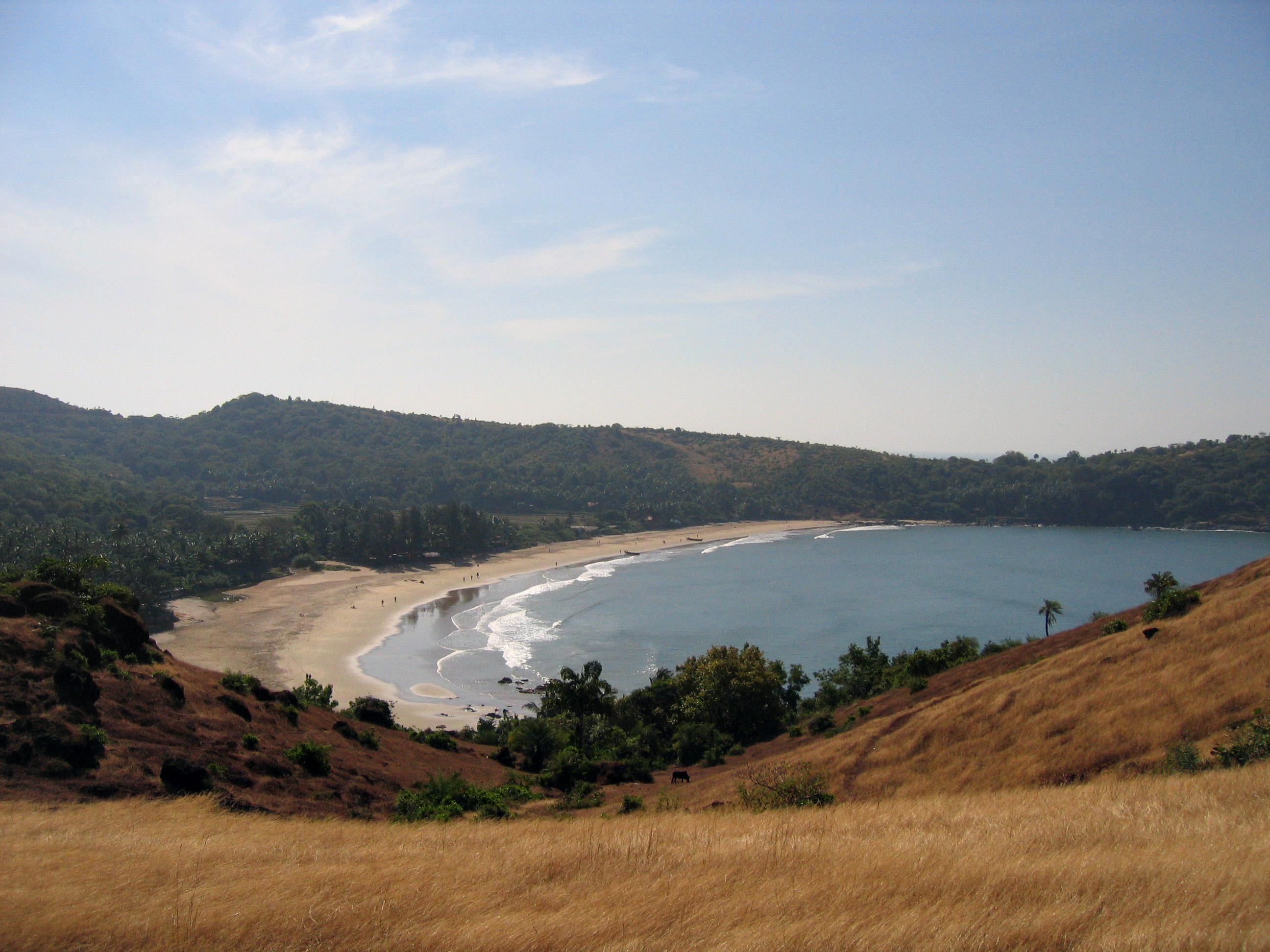
Gokarna is a small temple town located in Uttara Kannada district of Karnataka state in India, It has a population of around 20,000. The main temple and deity is Shiva, who is also known as Mahabaleshwara. This temple houses what is believed to be original image of Shiva's ''linga'' (Atmalinga). Gokarna is known as one of the seven important Hindu pilgrimage centers. It is on what was once an unspoiled beach near the estuary of the river Aghanashini. Recently, due to the influx of tourists, the character of the town has changed; it is no longer just a centre of pilgrimage, though large numbers of devotees visit to offer prayers and worship to Shiva. Due to its laid-back, unspoiled and rustic nature many younger western tourists started visiting Gokarna about three decades ago. Enterprising locals started stores and restaurants. Later the onset of millennial youth increased the tourism. Now the resorts also cater to wealthier tourists. Etymology Gokarna means ''cow's ear'' ... [...More Info...] [...Related Items...] OR: [Wikipedia] [Google] [Baidu] |
Belambar
Belambar is a village in Ankola, in Uttara Kannada district of Karnataka state, India. It is bounded by the Arabian Sea to its west and by the Western Ghats to its east The Village's topography consists of a plain that stretches up to 2.5 km from the coast. As of the 2011 India Census, Belambar had a population of 4983 people; with 2539 of those male and 2444 female. Belambar is a multi-lingual village where prominent regional languages such as Kannada, Konkani are spoken. Hinduism is the largest religion in Belambar, and Halakki Gouda, Naik, Nadavaru, Brahmins, Shetty, Goud Saraswat Brahmins (GSBs), are the major communities among Hindus. Majourly found caste is Halakki Vokkaligas. The Halakki Vokkaliga The Halakki-Vokkalu (, also transliterated as Halwakki-Wakkal and Halakki-Vokkaliga) are an indigenous tribe of Karnataka, India.:Halwakki Wakkal is an agricultural class, who are relatively poor. Gam Vokkalu, Kare Vokkalu and Atte Vokkalu are g ... are a sub caste ... [...More Info...] [...Related Items...] OR: [Wikipedia] [Google] [Baidu] |
Magod Falls
Magod Falls is a group of waterfalls in Karnataka, India, where the river Bedti falls from a height of nearly in two steps. The falls are located about from the town of Yellapur and from Sirsi, in the district of Uttara Kannada, and are easily accessible from several lakes and towns. See also * List of waterfalls in India * List of waterfalls in India by height The following is a list of highest waterfall A waterfall is a point in a river or stream where water flows over a vertical drop or a series of steep drops. Waterfalls also occur where meltwater drops over the edge of a tabular iceberg or ... References *http://www.karnatakaholidays.com/magod-falls.php Waterfalls of Karnataka Tourist attractions in Uttara Kannada district Geography of Uttara Kannada district {{UttaraKannada-geo-stub ... [...More Info...] [...Related Items...] OR: [Wikipedia] [Google] [Baidu] |


