|
Freathy
Freathy ( kw, Frydhi) is a beach and coastal settlement on the Rame Peninsula in east Cornwall Cornwall (; kw, Kernow ) is a historic county and ceremonial county in South West England. It is recognised as one of the Celtic nations, and is the homeland of the Cornish people. Cornwall is bordered to the north and west by the Atlantic ..., England, United Kingdom.Ordnance Survey: Landranger map sheet 201 ''Plymouth & Launceston'' Freathy is accessible by the coast road along which runs the South West Coast Path. The majority of dwellings are north of the road on the plateau above Freathy Cliffs, while some chalets are sporadically situated on the cliffside above the beach below. During the summer, the beach is popular with visiting tourists References External links Villages in Cornwall Populated coastal places in Cornwall {{Caradon-geo-stub ... [...More Info...] [...Related Items...] OR: [Wikipedia] [Google] [Baidu] |
Rame Peninsula
The Rame Peninsula ( kw, Gorenys an Ros) is a peninsula in south-east Cornwall. The peninsula is surrounded by the English Channel to the south, Plymouth Sound to the east, the Hamoaze to the northeast and the estuary of the River Lynher to the northwest. On a clear day, the Atlantic Ocean can be seen from advantageous points from Rame Head. The largest settlement is Torpoint, which is on the eastern coast, facing Devonport, Devon, Devonport in Plymouth, Devon. The peninsula is named after Rame Head, to the south of the peninsula. The peninsula also includes the village and parish of Rame, Maker-with-Rame, Rame. The entire area of the peninsula is designated an Area of Outstanding Natural Beauty. Settlements Other places on the peninsula include: Antony, Cornwall, Antony, Cawsand, Crafthole, Cremyll, Fourlanesend, Freathy, Higher Wilcove, Kingsand, Lower Tregantle, Maker, Cornwall, Maker, Millbrook, Cornwall, Millbrook, Mount Edgcumbe House, Mount Edgcumbe Country Park, Penl ... [...More Info...] [...Related Items...] OR: [Wikipedia] [Google] [Baidu] |
South West Coast Path
The South West Coast Path is England's longest waymarked long-distance footpath and a National Trail. It stretches for , running from Minehead in Somerset, along the coasts of Devon and Cornwall, to Poole Harbour in Dorset. Because it rises and falls with every river mouth, it is also one of the more challenging trails. The total height climbed has been calculated to be 114,931 ft (35,031 m), almost four times the height of Mount Everest. It has been voted 'Britain's Best Walking route' twice in a row by readers of The Ramblers' ''Walk'' magazine, and regularly features in lists of the world's best walks. The final section of the path was designated as a National Trail in 1978. Many of the landscapes which the South West Coast Path crosses have special status, either as a national park or one of the heritage coasts. The path passes through two World Heritage Sites: the Dorset and East Devon Coast, known as the Jurassic Coast, was designated in 2001, and the Cornwall ... [...More Info...] [...Related Items...] OR: [Wikipedia] [Google] [Baidu] |
Cornwall
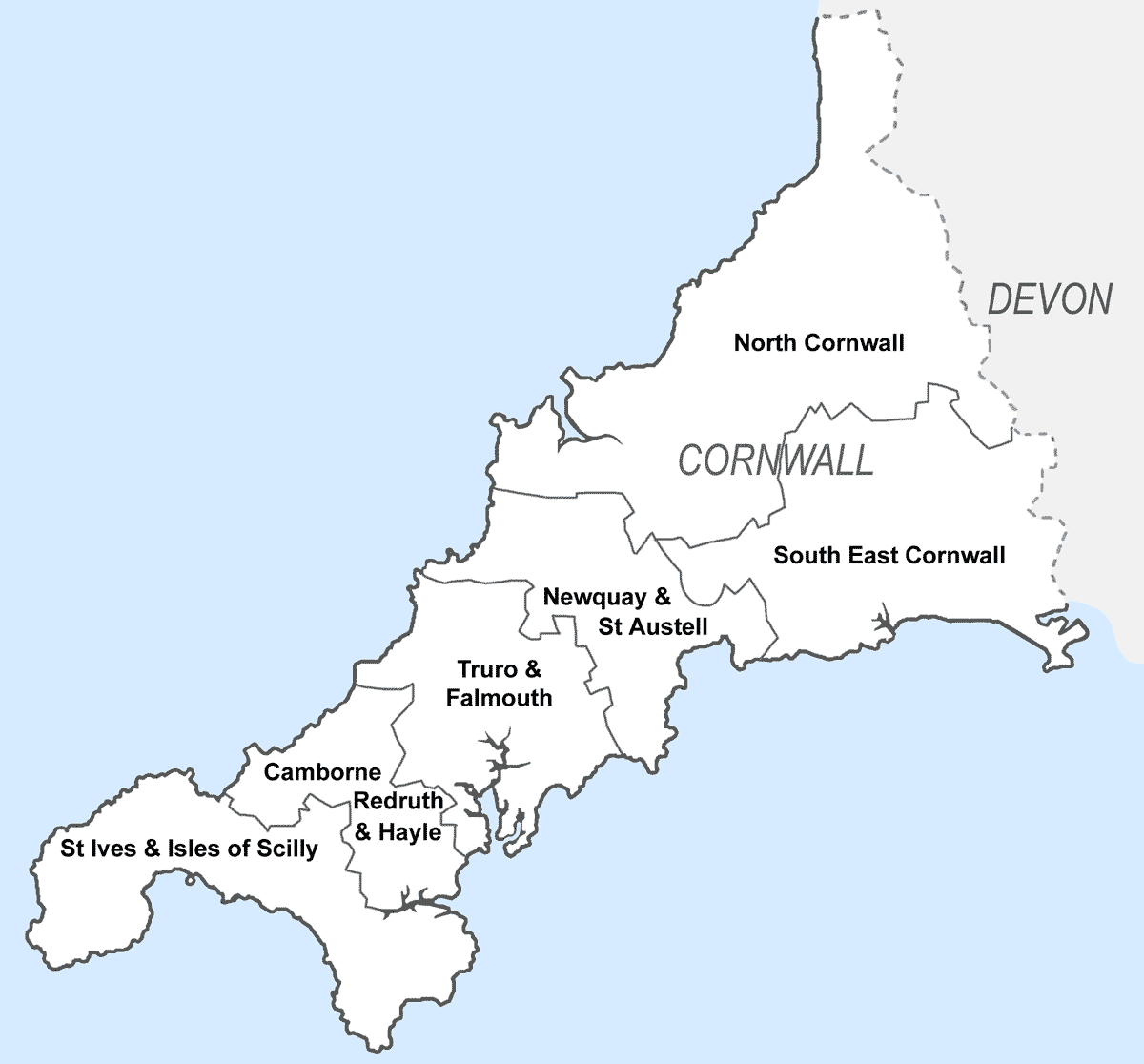
Cornwall (; kw, Kernow ) is a historic county and ceremonial county in South West England. It is recognised as one of the Celtic nations, and is the homeland of the Cornish people. Cornwall is bordered to the north and west by the Atlantic Ocean, to the south by the English Channel, and to the east by the county of Devon, with the River Tamar forming the border between them. Cornwall forms the westernmost part of the South West Peninsula of the island of Great Britain. The southwesternmost point is Land's End and the southernmost Lizard Point. Cornwall has a population of and an area of . The county has been administered since 2009 by the unitary authority, Cornwall Council. The ceremonial county of Cornwall also includes the Isles of Scilly, which are administered separately. The administrative centre of Cornwall is Truro, its only city. Cornwall was formerly a Brythonic kingdom and subsequently a royal duchy. It is the cultural and ethnic origin of the Cornish dias ... [...More Info...] [...Related Items...] OR: [Wikipedia] [Google] [Baidu] |
South East Cornwall (UK Parliament Constituency)
South East Cornwall is a constituency represented in the House of Commons of the UK Parliament since 2010 by Sheryll Murray, a Conservative. Boundaries 1983–2010: The District of Caradon, the Borough of Restormel wards of Fowey, Lostwithiel, St Blaise, and Tywardreath, and the District of North Cornwall ward of Stoke Climsland. 2010–present: The District of Caradon, and the Borough of Restormel ward of Lostwithiel. History The predecessor county division, Bodmin, serving the area from 1885 until 1983 had (during those 98 years) 15 members (two of whom had broken terms of office serving the area), seeing twelve shifts of preference between the Liberal, Liberal Unionist and Conservative parties, spread quite broadly throughout that period. Consistent with this, since 1983 the preference for an MP has alternated between Liberal Democrats and Conservatives. The current constituency territory contains the location of several former borough constituencies which were abol ... [...More Info...] [...Related Items...] OR: [Wikipedia] [Google] [Baidu] |
Villages In Cornwall
A village is a clustered human settlement or community, larger than a hamlet but smaller than a town (although the word is often used to describe both hamlets and smaller towns), with a population typically ranging from a few hundred to a few thousand. Though villages are often located in rural areas, the term urban village is also applied to certain urban neighborhoods. Villages are normally permanent, with fixed dwellings; however, transient villages can occur. Further, the dwellings of a village are fairly close to one another, not scattered broadly over the landscape, as a dispersed settlement. In the past, villages were a usual form of community for societies that practice subsistence agriculture, and also for some non-agricultural societies. In Great Britain, a hamlet earned the right to be called a village when it built a church. [...More Info...] [...Related Items...] OR: [Wikipedia] [Google] [Baidu] |


