|
Foxham, Wiltshire
Foxham is a village in Bremhill civil parish in Wiltshire, England, about northeast of Chippenham and a similar distance northwest of Calne. Manor The Domesday Book of 1086 recorded a small settlement of ten households at Cadenham, close to the east end of present-day Foxham. The manor house, Cadenham Manor, is a house of five bays built in the second half of the 17th century. It replaces an earlier house, from which part of a window-head survives in the north porch that was added in the 20th century.Pevsner & Cherry, page 251 The manor was owned by a branch of the Hungerford family, including George Hungerford (1637-1712). Church and chapel There is a record of Foxham being a chapelry of the parish of Bremhill and Highway by 1219.Pugh & Crittall, 1953, pages 197-198 The present Church of England parish church of Saint John the Baptist was designed by the Gothic Revival architect William Butterfield and built in 1878–81. The church is Grade II* listed, and has a stained g ... [...More Info...] [...Related Items...] OR: [Wikipedia] [Google] [Baidu] |
Bremhill
Bremhill is a village and civil parish in Wiltshire, England. The village is about northwest of Calne and east of Chippenham. The name originates from '' 'Bramble hill'.'' Geography Bremhill civil parish is a rural area which stretches northeast some from the eastern boundary of the Chippenham built-up area. It includes the hamlets of Avon, Bremhill Wick, Charlcutt, East Tytherton, Low Bridge, Foxham, Spirthill, Stanley, Tytherton Lucas and West End, and part of the hamlet of Ratford. The River Avon forms part of the western boundary of the parish, where it is joined by the Marden which crosses the parish from the south. The parish has many smaller tributaries of the Avon, including Pudding Brook, which joins the Marden south of Tytherton Lucas; the Cade Burna, which gives its name to Cadenham Manor; and the Cat Brook. Bencroft Hill Meadows, in the south of the parish, is a biological Site of Special Scientific Interest. History Æthelstan gave land at Bremhill ... [...More Info...] [...Related Items...] OR: [Wikipedia] [Google] [Baidu] |
St Mary's Church, Calne
St Mary's Church is the main Anglican church in the town of Calne, Wiltshire, England. The church is large and cruciform, with a tall north tower; it stands in a triangular churchyard at the heart of the town. Begun in the 12th century, it is described by Pevsner as "the proud church of a prosperous clothiers' town". The church is a Grade I listed building. History and architecture A church was recorded at Calne in 1066 and was almost certainly on the site of the present church. By 1116 the church's estate endowed a prebend at Salisbury Cathedral. The present building dates from c. 1160–70, and Norman work survives in the nave and part of a doorway, later moved to the north porch door. The church was lengthened in the 14th century and St Edmund's chapel was added on the north side. The 15th century saw the addition of a clerestory and north and south porches, together with the re-roofing of the nave. In 1638 the crossing tower and spire collapsed, damaging the north an ... [...More Info...] [...Related Items...] OR: [Wikipedia] [Google] [Baidu] |
Public House
A pub (short for public house) is a kind of drinking establishment which is licensed to serve alcoholic drinks for consumption on the premises. The term ''public house'' first appeared in the United Kingdom in late 17th century, and was used to differentiate private houses from those which were, quite literally, open to the public as "alehouses", "taverns" and "inns". By Georgian times, the term had become common parlance, although taverns, as a distinct establishment, had largely ceased to exist by the beginning of the 19th century. Today, there is no strict definition, but CAMRA states a pub has four characteristics:GLA Economics, Closing time: London's public houses, 2017 # is open to the public without membership or residency # serves draught beer or cider without requiring food be consumed # has at least one indoor area not laid out for meals # allows drinks to be bought at a bar (i.e., not only table service) The history of pubs can be traced to Roman taverns in B ... [...More Info...] [...Related Items...] OR: [Wikipedia] [Google] [Baidu] |
River Marden
The River Marden is a small tributary of the River Avon in England. It flows from the hills surrounding Calne and meets the Avon about a mile upstream of Chippenham. The river has a mean flow of . Course The Marden rises just north of the valley of Ranscombe Bottom near Calstone Wellington in Wiltshire. It then flows in a north-west direction through the Blackland area, where it forms a small ornamental lake at Blackland House, and on to Quemerford, where it is joined on the right bank by the Rivers Brook. In Calne, the Abberd Brook joins on the right. The river turns in a westerly direction and is joined by the overspill from Bowood Lake, part of the Bowood House estate, on the left at Studleybrook Farm. The river is then joined by the combined Fisher's and Cowage brooks before turning to the north-west, past the village of Stanley. later it joins the Bristol Avon to the north-east of Chippenham. History The Domesday survey of England in 1086 records four watermills on t ... [...More Info...] [...Related Items...] OR: [Wikipedia] [Google] [Baidu] |
Great Western Main Line
The Great Western Main Line (GWML) is a main line railway in England that runs westwards from London Paddington to . It connects to other main lines such as those from Reading to Penzance and Swindon to Swansea. Opened in 1841, it was the original route of the first Great Western Railway which was merged into the Western Region of British Railways in 1948. It is now a part of the national rail system managed by Network Rail with the majority of passenger services provided by the current Great Western Railway franchise. The line has recently been electrified along most of its length. The eastern section from Paddington to was electrified in 1998. Work to electrify the remainder of the route started in 2011 with an initial aim to complete the work all the way to Bristol by 2016, but in that year the section through Bath to Bristol Temple Meads was deferred with no date set for completion because costs had tripled. History The line was built by the Great Western Railway ... [...More Info...] [...Related Items...] OR: [Wikipedia] [Google] [Baidu] |
Swindon
Swindon () is a town and unitary authority with Borough status in the United Kingdom, borough status in Wiltshire, England. As of the 2021 Census, the population of Swindon was 201,669, making it the largest town in the county. The Swindon unitary authority area had a population of 233,410 as of 2021. Located in South West England, the town lies between Bristol, 35 miles (56 kilometres) to its west, and Reading, Berkshire, Reading, equidistant to its east. Recorded in the 1086 Domesday Book as ''Suindune'', it was a small market town until the mid-19th century, when it was selected as the principal site for the Great Western Railway's repair and maintenance Swindon Works, works, leading to a marked increase in its population. The new town constructed for the railway workers produced forward-looking amenities such as the UK’s first lending library and a ‘cradle-to-grave' health care centre that was later used as a blueprint for the National Health Service, NHS. After the W ... [...More Info...] [...Related Items...] OR: [Wikipedia] [Google] [Baidu] |
Abingdon, Oxfordshire
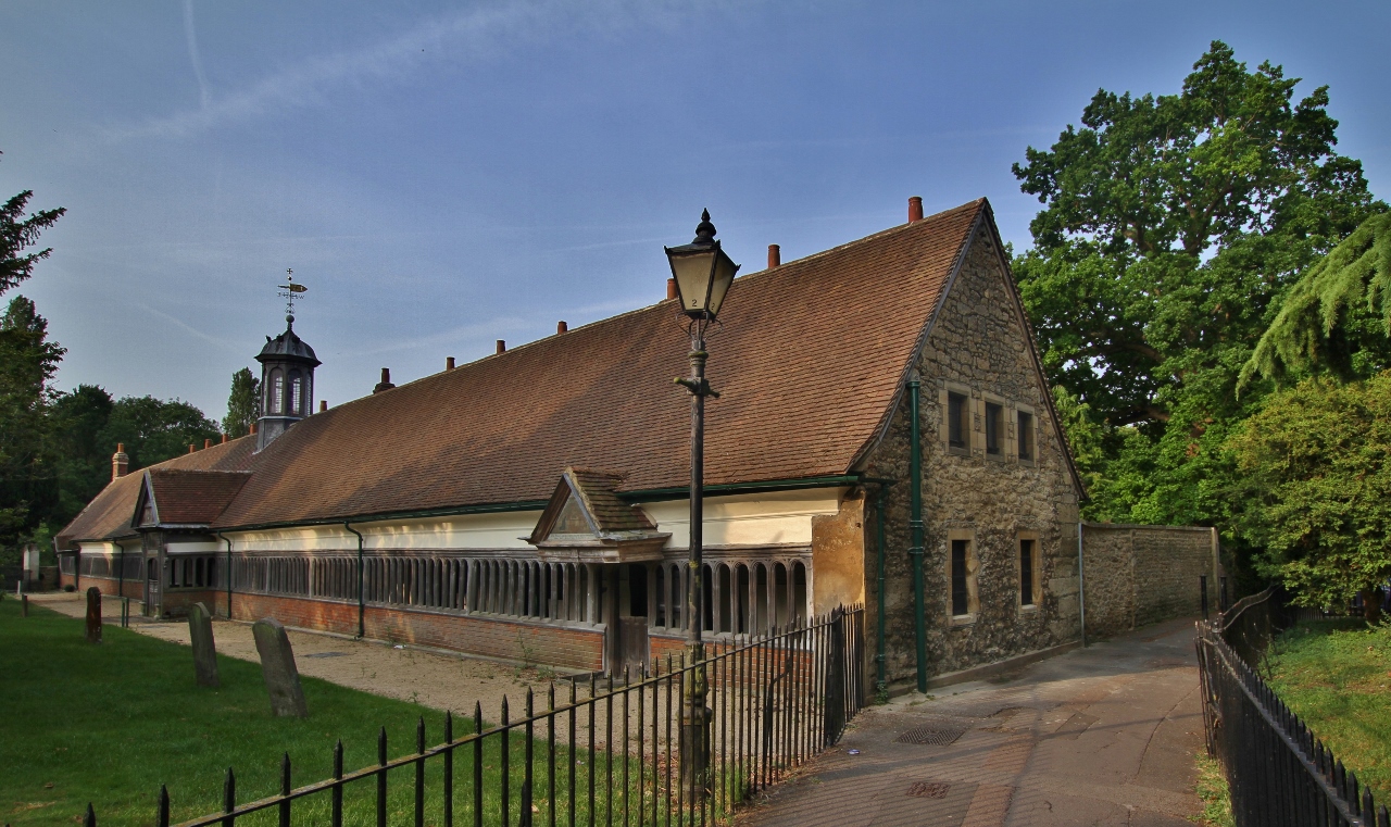
Abingdon-on-Thames ( ), commonly known as Abingdon, is a historic market town and civil parish in the ceremonial county of Oxfordshire, England, on the River Thames. Historically the county town of Berkshire, since 1974 Abingdon has been administered by the Vale of White Horse district within Oxfordshire. The area was occupied from the early to middle Iron Age and the remains of a late Iron Age and Roman defensive enclosure lies below the town centre. Abingdon Abbey was founded around 676, giving its name to the emerging town. In the 13th and 14th centuries, Abingdon was an agricultural centre with an extensive trade in wool, alongside weaving and the manufacture of clothing. Charters for the holding of markets and fairs were granted by various monarchs, from Edward I to George II. The town survived the dissolution of the abbey in 1538, and by the 18th and 19th centuries, with the building of Abingdon Lock in 1790, and Wilts & Berks Canal in 1810, was a key link between ... [...More Info...] [...Related Items...] OR: [Wikipedia] [Google] [Baidu] |
Dauntsey
Dauntsey is a small village and civil parish in the county of Wiltshire, England. It gives its name to the Dauntsey Vale in which it lies and takes its name from Saxon for Dantes- eig, or Dante's island. It is set on slightly higher ground in the flood plain of the upper Bristol Avon. Today, the parish is split by the M4 motorway, with a chain of historic smaller settlements spread either side. Dauntsey Green is north of the motorway, along with Dauntsey Church at the entrance to Dauntsey Park; to the south are Greenman's Lane, Sodom and Dauntsey Lock. Dauntsey Lock is on the former Wilts and Berks Canal (presently being restored), the course of which runs alongside the Bristol-London mainline railway. History Malmesbury Abbey was granted an estate at Dauntsey in 850, and the Domesday Book of 1086 recorded a settlement of 26 households. The Brinkworth Brook defined the northern boundary of the parish, and the Avon most of the western; to the south the natural boundary is th ... [...More Info...] [...Related Items...] OR: [Wikipedia] [Google] [Baidu] |
Lock (water Navigation)
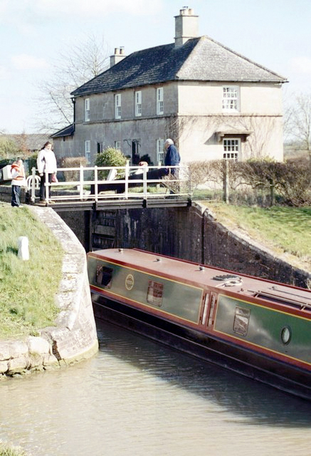
A lock is a device used for raising and lowering boats, ships and other watercraft between stretches of water of different levels on river and canal waterways. The distinguishing feature of a lock is a fixed chamber in which the water level can be varied; whereas in a caisson lock, a boat lift, or on a canal inclined plane, it is the chamber itself (usually then called a caisson) that rises and falls. Locks are used to make a river more easily navigable, or to allow a canal to cross land that is not level. Later canals used more and larger locks to allow a more direct route to be taken. Pound lock A ''pound lock'' is most commonly used on canals and rivers today. A pound lock has a chamber with gates at both ends that control the level of water in the pound. In contrast, an earlier design with a single gate was known as a flash lock. Pound locks were first used in China during the Song Dynasty (960–1279 AD), having been pioneered by the Song politician and naval ... [...More Info...] [...Related Items...] OR: [Wikipedia] [Google] [Baidu] |
Semington
Semington is a village and civil parish in Wiltshire, England. The village is about south of Melksham and about northeast of Trowbridge. The parish includes the hamlets of Little Marsh and Littleton.election-maps.co.uk Semington Civil Parish boundary on Ordnance Survey 1:50,000 colour raster layer. Retrieved 23 October 2006. The village has two on the Kennet and Avon Canal, known as the , and nearby is the start of the disused |
Wilts & Berks Canal
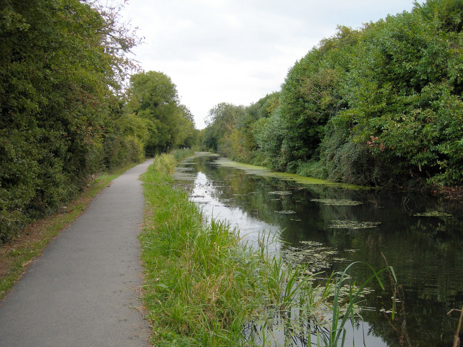
The Wilts & Berks Canal is a canal in the Historic counties of England, historic counties of Wiltshire and Berkshire, England, linking the Kennet and Avon Canal at Semington near Melksham, to the River Thames at Abingdon, Oxfordshire, Abingdon. The North Wilts Canal merged with it to become a branch to the Thames and Severn Canal at Latton, Wiltshire, Latton near Cricklade. Among professional trades boatmen, the canal was nicknamed the Ippey Cut, possibly short for Chippenham. The canal was opened in 1810, but abandoned in 1914 – a fate hastened by a breach at Stanley navigable aqueduct, aqueduct in 1901. Much of the canal subsequently became unnavigable: many of the structures were deliberately damaged by army demolition exercises; parts of the route were filled in and in some cases built over. In 1977 the Wilts & Berks Canal Trust, Wilts & Berks Canal Amenity Group was formed with a view to full restoration of the canal. Several Lock (water navigation), locks and bridges ha ... [...More Info...] [...Related Items...] OR: [Wikipedia] [Google] [Baidu] |


