|
Foster, Victoria
Foster is a dairying and grazing town south-east of Melbourne on the South Gippsland Highway in Victoria, Australia. At the Foster had an urban population of 1,164. It is about north of the Gippsland coastline which includes Shallow Inlet, Corner Inlet, Waratah Bay, Yanakie and Wilsons Promontory. History Originally called Stockyard Creek, after the stream which still flows through the centre of the town, Foster was initially just a resting place for drovers travelling from Port Albert to Western Port. This changed with the discovery of gold in the 1880s, leading to a (modest) gold rush. The post office opened on 20 February 1871 as Stockyard Creek and was renamed Foster in 1879 when the township was established. In 1870 a gold rush along Stockyard Creek resulted in the township of that name and in late 1884 following comments by the Police Magistrate from Sale (Mr William H Foster) that he couldn't hold court in a creek the town suddenly became ‘Foster’. Previously a s ... [...More Info...] [...Related Items...] OR: [Wikipedia] [Google] [Baidu] |
Electoral District Of Gippsland South
The electoral district of Gippsland South (initially known as South Gippsland) is a Lower House electoral district of the Victorian Parliament. It is located within the Eastern Victoria Region of the Legislative Council. Gippsland South extends along the state's coast from Venus Bay to Loch Sport and includes the country Victorian towns of Foster, Korumburra, Leongatha, Mirboo North, Port Albert, Port Welshpool, Rosedale, Sale and Yarram. The electorate includes all of South Gippsland Shire and the southern parts of Wellington Shire. Industries include agriculture, timber production and tourism. Dairying is the biggest agricultural contributor to the local economy. Natural features include Wilsons Promontory National Park, Corner Inlet, and a number of lakes and islands along the coast and border. Its area was initially defined by the 1858 Electoral Act as: "''Commencing at the mouth of Merryman's Creek on the Ninety Mile Beach; bounded on the north by Merryman's Creek t ... [...More Info...] [...Related Items...] OR: [Wikipedia] [Google] [Baidu] |
Wilsons Promontory
Wilsons Promontory, is a peninsula that forms the southernmost part of the Australian mainland, located in the state of Victoria. South Point at is the southernmost tip of Wilsons Promontory and hence of mainland Australia. Located at nearby South East Point, () is the Wilsons Promontory Lighthouse. Most of the peninsula is protected by the Wilsons Promontory National Park and the Wilsons Promontory Marine National Park. Human history Wilsons Promontory was first occupied by indigenous Koori people at least 6,500 years prior to European arrival. Middens along the western coast indicate that the inhabitants subsisted on a seafood diet. The first European to see the promontory was George Bass in January 1798. He initially referred to it as "Furneaux's Land" in his diary, believing it to be what Captain Furneaux had previously seen. But on returning to Port Jackson and consulting Matthew Flinders he was convinced that the location was so different it could not be that ... [...More Info...] [...Related Items...] OR: [Wikipedia] [Google] [Baidu] |
Towns In Victoria (Australia)
This is a list of locality names and populated place names in the state of Victoria, Australia, outside the Melbourne metropolitan area. It is organised by region from the south-west of the state to the east and, for convenience, is sectioned by Local Government Area (LGA). Localities are bounded areas recorded on VICNAMES, although boundaries are the responsibility of each council. Many localities cross LGA boundaries, some being partly within three LGAs, but are listed here once under the LGA in which the major population centre or area occurs. The Office of Geographic Names (OGN), led by the Registrar of Geographic Names, administers the naming or renaming of localities (as well as roads, and other features) in Victoria, and maintains the Register of Geographic Names, referred as the VICNAMES register, pursuant to the ''Geographic Place Names Act 1998''. The OGN has issued the mandatory ''Naming rules for places in Victoria, Statutory requirements for naming roads, features ... [...More Info...] [...Related Items...] OR: [Wikipedia] [Google] [Baidu] |
Mining Towns In Victoria (Australia)
Mining is the extraction of valuable minerals or other geological materials from the Earth, usually from an ore body, lode, vein, seam, reef, or placer deposit. The exploitation of these deposits for raw material is based on the economic viability of investing in the equipment, labor, and energy required to extract, refine and transport the materials found at the mine to manufacturers who can use the material. Ores recovered by mining include metals, coal, oil shale, gemstones, limestone, chalk, dimension stone, rock salt, potash, gravel, and clay. Mining is required to obtain most materials that cannot be grown through agricultural processes, or feasibly created artificially in a laboratory or factory. Mining in a wider sense includes extraction of any non-renewable resource such as petroleum, natural gas, or even water. Modern mining processes involve prospecting for ore bodies, analysis of the profit potential of a proposed mine, extraction of the desired materials, and ... [...More Info...] [...Related Items...] OR: [Wikipedia] [Google] [Baidu] |
Fishing Communities In Australia
Fishing is the activity of trying to catch fish. Fish are often caught as wildlife from the natural environment, but may also be caught from stocked bodies of water such as ponds, canals, park wetlands and reservoirs. Fishing techniques include hand-gathering, spearing, netting, angling, shooting and trapping, as well as more destructive and often illegal techniques such as electrocution, blasting and poisoning. The term fishing broadly includes catching aquatic animals other than fish, such as crustaceans ( shrimp/ lobsters/ crabs), shellfish, cephalopods ( octopus/ squid) and echinoderms ( starfish/ sea urchins). The term is not normally applied to harvesting fish raised in controlled cultivations ( fish farming). Nor is it normally applied to hunting aquatic mammals, where terms like whaling and sealing are used instead. Fishing has been an important part of human culture since hunter-gatherer times, and is one of the few food production activities that have per ... [...More Info...] [...Related Items...] OR: [Wikipedia] [Google] [Baidu] |
Foster Railway Station, Victoria
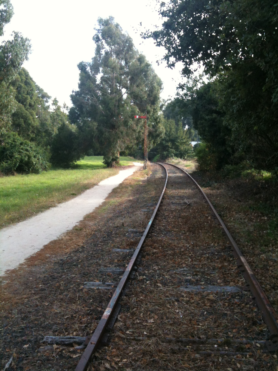
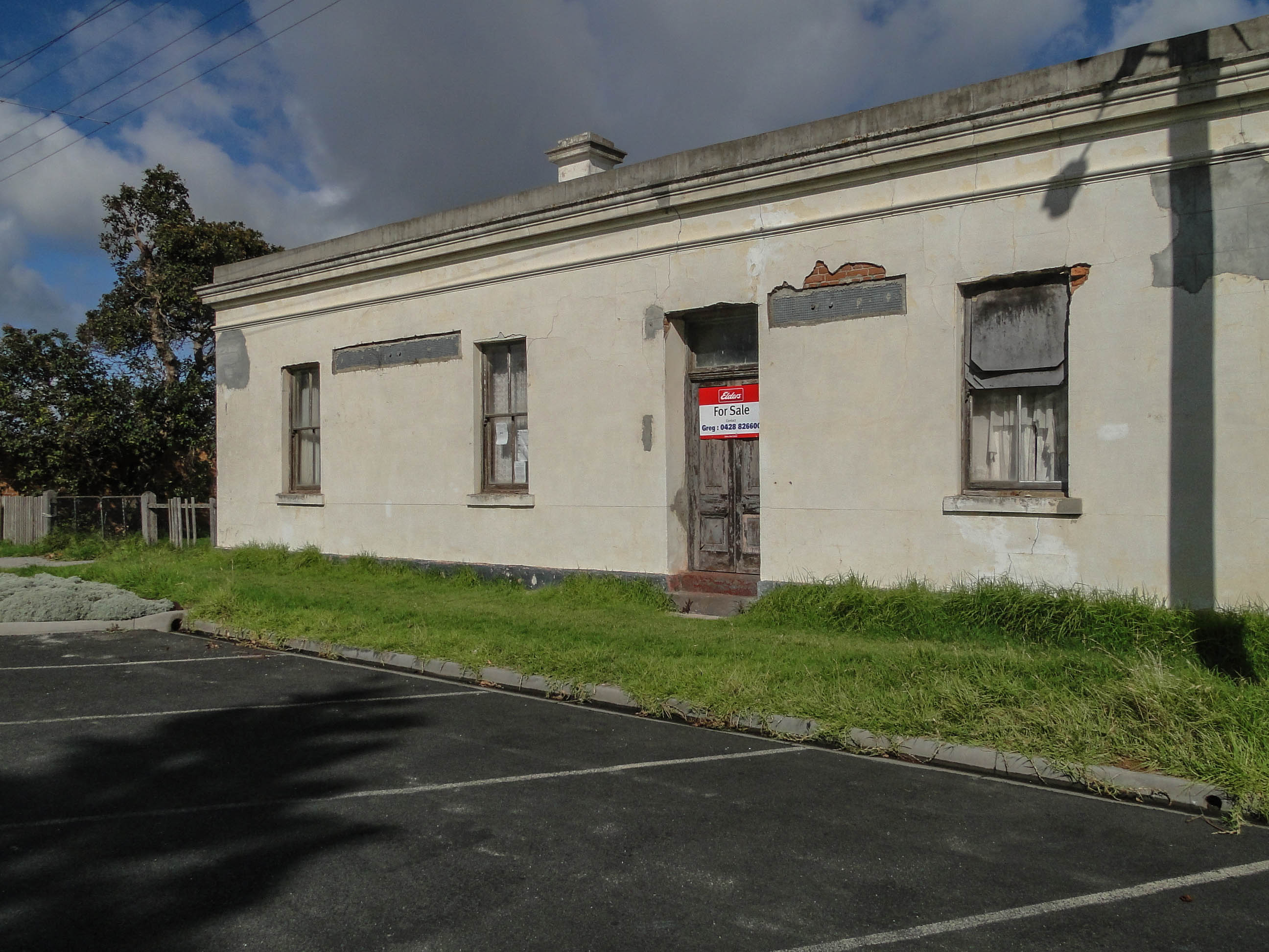
Foster was a railway station on the South Gippsland line in South Gippsland, Victoria, Australia. The station was opened during the 1890s operated until 1992 when the line to Barry Beach servicing the oil fields in Bass Strait was closed. The line was dismantled and turned into the Great Southern Rail Trail The Great Southern Rail Trail is a 109-kilometre rail trail from Nyora to Welshpool in South Gippsland, Victoria, Australia. This mostly flat or gently undulating trail goes through lush dairy farmland, areas of remnant bush and lowland scrub. It .... Disused railway stations in Victoria (state) Transport in Gippsland (region) Shire of South Gippsland {{VictoriaAU-railstation-stub ... [...More Info...] [...Related Items...] OR: [Wikipedia] [Google] [Baidu] |
Yarram, Victoria
The township of Yarram (formerly Yarram Yarram) is in Victoria, Australia, in the Shire of Wellington, located in the southeast of Gippsland. At the , the population of the town was . The town is the regional centre of a prosperous farming district. It has a vibrant community, which remains dedicated to a strong sporting culture. The town also has a strong tourism industry, with Tarra Bulga National Park, Port Albert, Ninety Mile Beach and Agnes Falls all being within a 30-minute commute from Yarram. The town is located about one and a half hours from Wilsons Promontory. Nearby towns include Welshpool, Alberton and Foster. Etymology The term 'Yarram Yarram' is thought to be an Aboriginal phrase meaning 'plenty of water,' however it is not known which language group the name is taken from. History The traditional custodians of the land surrounding Yarram are the Brataualung people of the Kurnai People, an Australian Aboriginal group, who resisted the invasion of their lands, a ... [...More Info...] [...Related Items...] OR: [Wikipedia] [Google] [Baidu] |
Great Southern Rail Trail
The Great Southern Rail Trail is a 109-kilometre rail trail from Nyora to Welshpool in South Gippsland, Victoria, Australia. This mostly flat or gently undulating trail goes through lush dairy farmland, areas of remnant bush and lowland scrub. It climbs from the foothills of Fish Creek up past Mount Hoddle and then down a steep descent through dense forest out into magnificent views of Wilsons Promontory and Corner Inlet, continuing on to Foster. before ending at Welshpool. The trail is well maintained with a surface of compacted gravel. Koalas Wombats and wallabies can often be seen from the trail particularly in the early mornings and evenings. The 10 km Toora to Welshpool section was opened on 7 February 2015. A section from Koonwarra to Minns road was opened in March 2016 incorporating what were three very dilapidated wooden trestle bridges. This section replaces what was a three kilometer diversion to the nearby South Gippsland Highway. The section provides a contin ... [...More Info...] [...Related Items...] OR: [Wikipedia] [Google] [Baidu] |
Alberton Football League
The Alberton Football Netball League was an Australian rules football league covering the South Gippsland region of Victoria, Australia. History 1946: Reformation of Alberton Football Association (League) The Alberton Football Association was reformed in 1946 after the end of World War II in 1945, renamed the Alberton Football League in 1947, with eight teams comprising the league such as Carrajung, Devon (formed 1883 also known from 1900-1909 as West Alberton), Foster (formed 1890), Ramblers, Toora (formed 1891), Welshpool, Woodside and Yarram (formed 1887). The name of the league is taken from the small town of Alberton, near Yarram. The Ramblers Football Club, after a promising inaugural season in the league where it recorded six wins to just miss the finals, decided to disband from the league and Won Wron Football Club were accepted into the league for the 1949 season. Four years later, the Carrajung Football Club followed suit which enabled Fish Creek to join the Albe ... [...More Info...] [...Related Items...] OR: [Wikipedia] [Google] [Baidu] |
South Gippsland Railway Line
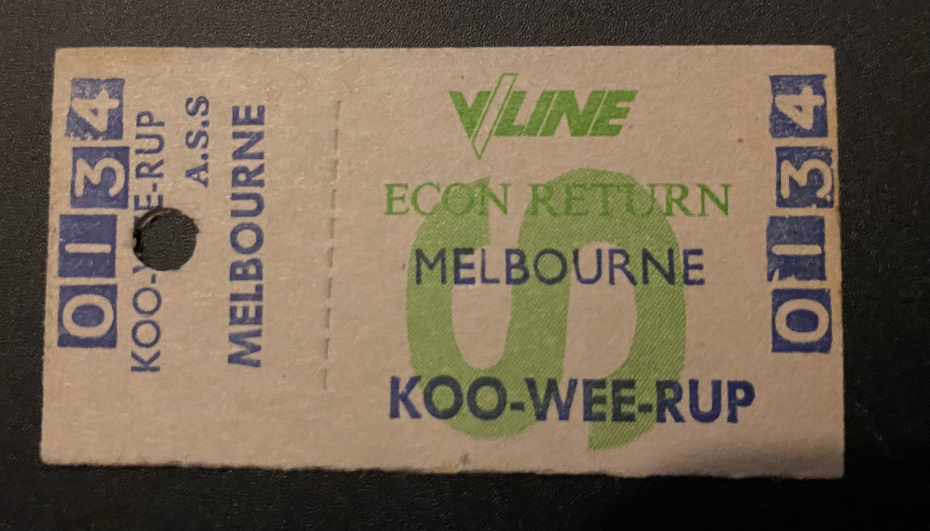
The South Gippsland railway line is a partially closed railway line in Victoria, Australia. It was first opened in 1892, branching from the Orbost line at Dandenong, and extending to Port Albert. Much of it (the section up to Leongatha) remained open until December 1994 (passenger services finished the previous July). Today, only the section between Dandenong and Cranbourne remains open for use. The section of the line from Nyora to Leongatha was used by the South Gippsland Tourist Railway until it ceased operations in 2016. The section from Nyora to Welshpool, with extension trail to Port Welshpool and a portion of the former line at Koo Wee Rup, have been converted into the Great Southern Rail Trail. History The Melbourne and Suburban Railway Company opened a line from Princes Bridge railway station to Punt Road (Richmond) and South Yarra in 1859 and extended to Dandenong in 1879. The South Gippsland railway line was opened from Dandenong to Cranbourne in 1888 and extended ... [...More Info...] [...Related Items...] OR: [Wikipedia] [Google] [Baidu] |
Western Port
Western Port, (Boonwurrung: ''Warn Marin'') commonly but unofficially known as Western Port Bay, is a large tidal bay in southern Victoria, Australia, opening into Bass Strait. It is the second largest bay in the state. Geographically, it is dominated by two large islands; French Island and Phillip Island. At the time it was renamed, its position was west of other known ports and bays, but Western Port has become something of a misnomer as it lies just to the east of the larger Port Phillip and the city of Melbourne. It is visited by Australian fur seals, whales and dolphins, as well as many migratory waders and seabirds. It is listed under the Ramsar Convention as a wetland of international significance. The area around the bay and the two main islands were originally part of the Boonwurrung nation's territory prior to European settlement. Western Port was first seen by Europeans in 1798 when an exploration crew in a whaleboat led by George Bass, journeyed south from Sydney ... [...More Info...] [...Related Items...] OR: [Wikipedia] [Google] [Baidu] |
Port Albert, Victoria
Port Albert is a coastal town in Victoria, Australia, on the coast of Corner Inlet on the Yarram - Port Albert Road, south-east of Morwell, south-east of Melbourne, in the Shire of Wellington. At the , Port Albert had a population of 293. Location and features Port Albert was one of the earliest ports established in Victoria. In 1841 the Gippsland Company investigated the area following favourable reports from explorer Angus McMillan. In May of that year the first settlers arrived. Initially the area was known as Seabank or Old Port, but was changed to New Leith when the town started developing, and later changed to Alberton and Port Albert in honour of Prince Albert of Saxe-Coburg and Gotha, the husband of Queen Victoria. The Post Office opened on 1 November 1842 as Alberton (it was renamed Port Albert in 1856) and was the fourth to open in the Port Phillip District. It became the administrative centre of Gippsland and a transport hub for cargo between Melbourne and V ... [...More Info...] [...Related Items...] OR: [Wikipedia] [Google] [Baidu] |


