|
Foster Railway Station, Victoria
Foster was a railway station on the South Gippsland line in South Gippsland, Victoria, Australia. The station was opened during the 1890s operated until 1992 when the line to Barry Beach servicing the oil fields in Bass Strait was closed. The line was dismantled and turned into the Great Southern Rail Trail The Great Southern Rail Trail is a 109-kilometre rail trail from Nyora to Welshpool in South Gippsland, Victoria, Australia. This mostly flat or gently undulating trail goes through lush dairy farmland, areas of remnant bush and lowland scrub. It .... Disused railway stations in Victoria (state) Transport in Gippsland (region) Shire of South Gippsland {{VictoriaAU-railstation-stub ... [...More Info...] [...Related Items...] OR: [Wikipedia] [Google] [Baidu] |
South Gippsland Railway Line
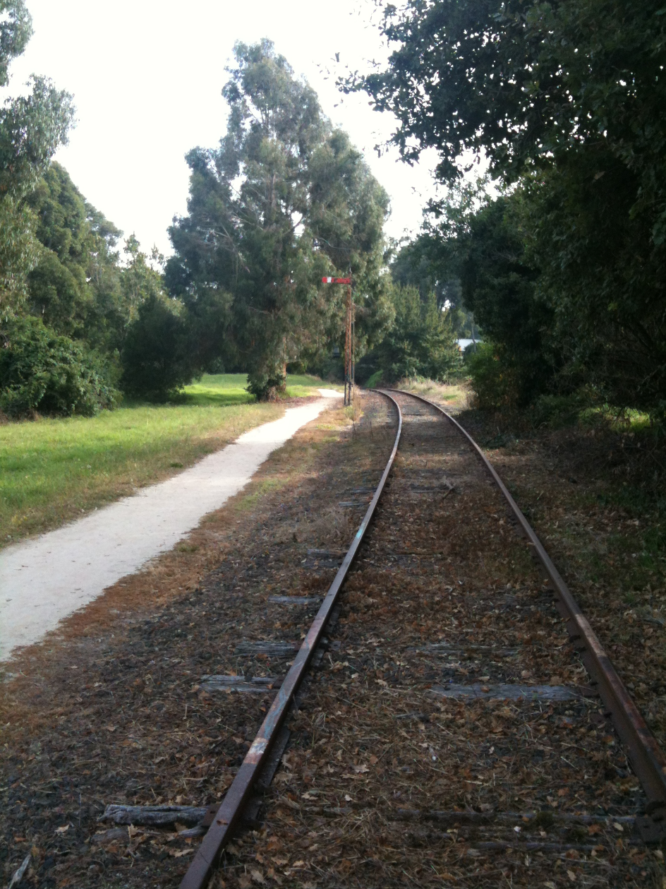
The South Gippsland railway line is a partially closed railway line in Victoria, Australia. It was first opened in 1892, branching from the Orbost line at Dandenong, and extending to Port Albert. Much of it (the section up to Leongatha) remained open until December 1994 (passenger services finished the previous July). Today, only the section between Dandenong and Cranbourne remains open for use. The section of the line from Nyora to Leongatha was used by the South Gippsland Tourist Railway until it ceased operations in 2016. The section from Nyora to Welshpool, with extension trail to Port Welshpool and a portion of the former line at Koo Wee Rup, have been converted into the Great Southern Rail Trail. History The Melbourne and Suburban Railway Company opened a line from Princes Bridge railway station to Punt Road (Richmond) and South Yarra in 1859 and extended to Dandenong in 1879. The South Gippsland railway line was opened from Dandenong to Cranbourne in 1888 and extended ... [...More Info...] [...Related Items...] OR: [Wikipedia] [Google] [Baidu] |
List Of Closed Railway Stations In Victoria
This is a list of former railway stations and railway lines in Victoria, Australia. Many of these stations and lines have been abandoned or demolished. There is a strong desire by communities to have many of these re-opened to better link Regional Victoria to the state capital Melbourne. Public transport has become increasingly popular in the 21st century for convenience and affordability reasons. For closed railway stations in suburban Melbourne, see List of closed railway stations in Melbourne. Mildura line Originally withdrawn on 12 September 1993. Once served by ''The Vinelander'' service, the line branches from the Serviceton line at Ballarat. * Dunolly * St Arnaud *Donald *Birchip *Ouyen * Red Cliffs *Irymple *Mildura Leongatha line The passenger service was withdrawn on 24 July 1993, but the Dandenong to Cranbourne section was later electrified and became part of the Melbourne suburban rail network in 1995. *Cranbourne East *Clyde *Tooradin *Koo Wee Rup *Lang Lan ... [...More Info...] [...Related Items...] OR: [Wikipedia] [Google] [Baidu] |
South Gippsland
South Gippsland, a region of Gippsland in Victoria, Australia, is a well-watered region consisting of low, rolling hills descending to the coast in the south and the Latrobe Valley in the north. Low granite hills continue into Wilsons Promontory, the southernmost point of Victoria and mainland Australia. Rivers are generally very short and impossible to dam owing to the lack of potential storage sites, but groundwater of good quality is readily available. The major industries are forestry and dairy farming, and the principal towns include Cowes (on Phillip Island), Leongatha, Korumburra, Wonthaggi and Foster. Wilsons Promontory National Park features eucalypt forests and rainforests as well as its famous beaches, and is one of the most popular holiday areas in Victoria. Linked to mainland South Gippsland via a bridge at San Remo, Phillip Island is also a major tourist destination, noted particularly for its surf beaches, nightly Penguin Parade and Grand Prix track. 12,000 y ... [...More Info...] [...Related Items...] OR: [Wikipedia] [Google] [Baidu] |
Victoria (Australia)
Victoria is a state in southeastern Australia. It is the second-smallest state with a land area of , the second most populated state (after New South Wales) with a population of over 6.5 million, and the most densely populated state in Australia (28 per km2). Victoria is bordered by New South Wales to the north and South Australia to the west, and is bounded by the Bass Strait to the south (with the exception of a small land border with Tasmania located along Boundary Islet), the Great Australian Bight portion of the Southern Ocean to the southwest, and the Tasman Sea (a marginal sea of the South Pacific Ocean) to the southeast. The state encompasses a range of climates and geographical features from its temperate coastal and central regions to the Victorian Alps in the northeast and the semi-arid north-west. The majority of the Victorian population is concentrated in the central-south area surrounding Port Phillip Bay, and in particular within the metropolit ... [...More Info...] [...Related Items...] OR: [Wikipedia] [Google] [Baidu] |
Barry Beach Junction
Barry Beach in Australia was a railway branch line that opened on 2 April 1969 to service the oil fields in Bass Strait. During the existence of the branch line, twice or occasionally thrice weekly diesel fuel supplies were delivered to the Barry Beach Marine Terminal in order to serve the large ocean vessels that serviced the Bass Strait oil rigs south of Corner Inlet."Operations, South East - Welshpool". Newsrail (Australian Railway Historical Society (Victorian Division)): page 161. May 1992. The oil train was not the only main source of freight transported beyond Leongatha as the once or at times twice weekly superphosphate goods freight trains serving nearby farming communities and townships would usually combine in a mixed goods train configuration. The Esso-Mobil Barry Beach oil rail freight service operated until the closure of the South Gippsland line beyond Leongatha on 30 June 1992 and the branch line itself was eventually dismantled in 1994. The oil fields in Bass St ... [...More Info...] [...Related Items...] OR: [Wikipedia] [Google] [Baidu] |
Bass Strait
Bass Strait () is a strait separating the island state of Tasmania from the Australian mainland (more specifically the coast of Victoria, with the exception of the land border across Boundary Islet). The strait provides the most direct waterway between the Great Australian Bight and the Tasman Sea, and is also the only maritime route into the economically prominent Port Phillip Bay. Formed 8,000 years ago by rising sea levels at the end of the last glacial period, the strait was named after English explorer and physician George Bass (1771-1803) by European colonists. Extent The International Hydrographic Organization defines the limits of Bass Strait as follows: :''On the west.'' The eastern limit of the Great Australian Bight eing a line from Cape Otway, Australia, to King Island (Tasmania)">King Island and thence to Cape Grim, the northwest extreme of Tasmania]. :''On the east.'' The western limit of the Tasman Sea between Gabo Island and Eddystone Point eing a line fr ... [...More Info...] [...Related Items...] OR: [Wikipedia] [Google] [Baidu] |
Great Southern Rail Trail
The Great Southern Rail Trail is a 109-kilometre rail trail from Nyora to Welshpool in South Gippsland, Victoria, Australia. This mostly flat or gently undulating trail goes through lush dairy farmland, areas of remnant bush and lowland scrub. It climbs from the foothills of Fish Creek up past Mount Hoddle and then down a steep descent through dense forest out into magnificent views of Wilsons Promontory and Corner Inlet, continuing on to Foster. before ending at Welshpool. The trail is well maintained with a surface of compacted gravel. Koalas Wombats and wallabies can often be seen from the trail particularly in the early mornings and evenings. The 10 km Toora to Welshpool section was opened on 7 February 2015. A section from Koonwarra to Minns road was opened in March 2016 incorporating what were three very dilapidated wooden trestle bridges. This section replaces what was a three kilometer diversion to the nearby South Gippsland Highway. The section provides a contin ... [...More Info...] [...Related Items...] OR: [Wikipedia] [Google] [Baidu] |
Transport In Gippsland (region)
Transport (in British English), or transportation (in American English), is the intentional movement of humans, animals, and goods from one location to another. Modes of transport include air, land (rail and road), water, cable, pipeline, and space. The field can be divided into infrastructure, vehicles, and operations. Transport enables human trade, which is essential for the development of civilizations. Transport infrastructure consists of both fixed installations, including roads, railways, airways, waterways, canals, and pipelines, and terminals such as airports, railway stations, bus stations, warehouses, trucking terminals, refueling depots (including fueling docks and fuel stations), and seaports. Terminals may be used both for interchange of passengers and cargo and for maintenance. Means of transport are any of the different kinds of transport facilities used to carry people or cargo. They may include vehicles, riding animals, and pack animals. Vehicles may incl ... [...More Info...] [...Related Items...] OR: [Wikipedia] [Google] [Baidu] |


