|
Ferndale Park Trail
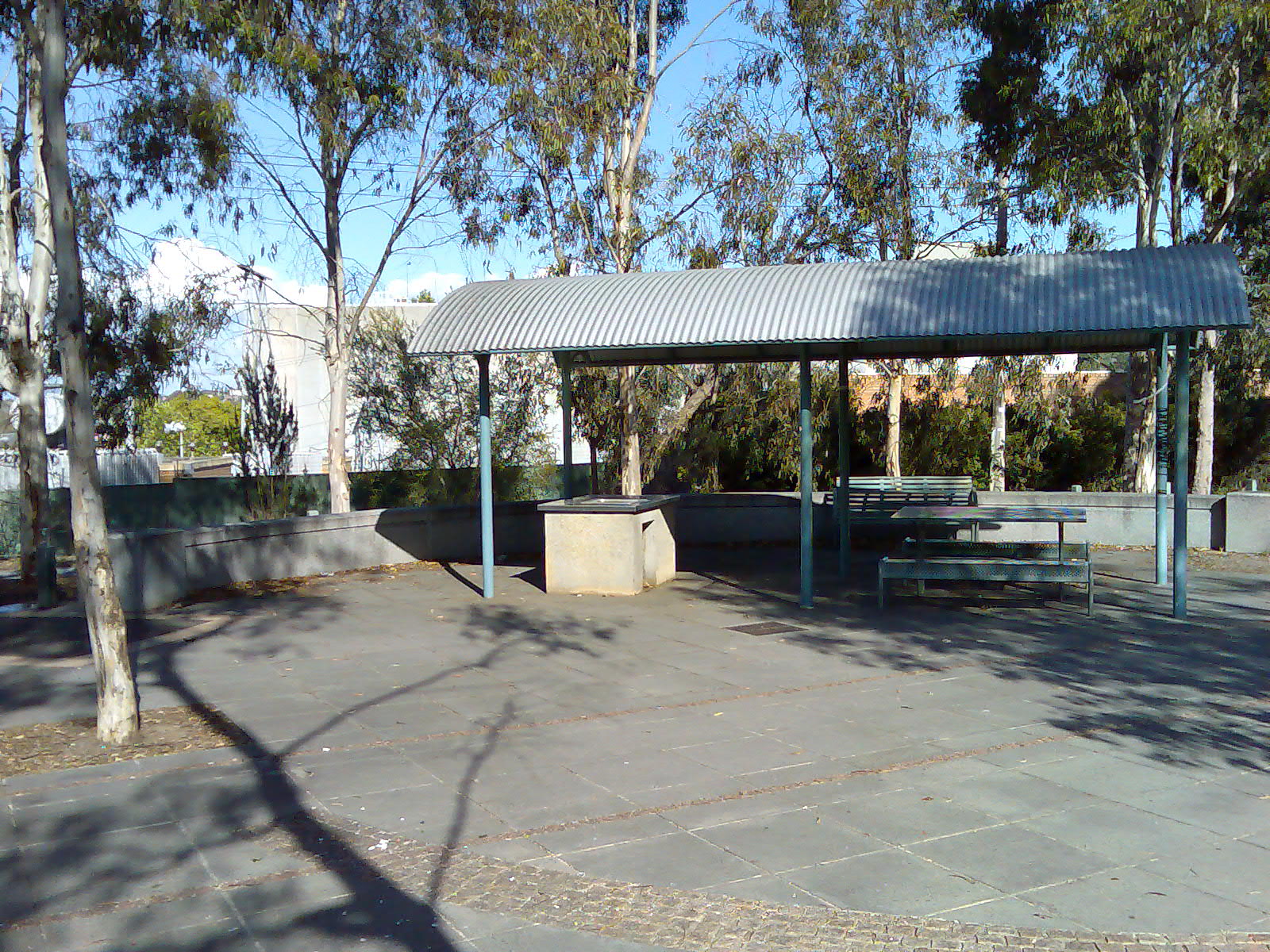
__NOTOC__ The Ferndale Park Trail is a shared use path for cyclists and pedestrians in the suburb of Glen Iris, an inner eastern suburb of Melbourne, Victoria. The path is useful as it provides a shortcut between Gardiners Creek Trail and Anniversary Trail. These two paths converge 2.5 km further to the south, so it can cut 2.6 km off a circuit utilising the Gardiners Creek Trail and the Anniversary Trail. Following the Path The path effectively follows the route of the old Ashburton Creek, which is now completely barrel drained. The path meets Gardiners Creek Trail at Nettleton Park Reserve near a footbridge over the creek. Following the path is straight forward except at the west side of Glen Iris Rd where it splits in two. Take the south path, cross Glen Iris Rd and continue on the south side of Ferndale Park by the oval and toilet block. Continuing to the east, the trail meets the Alamein railway line 0.4 km north of Ashburton Station. The Anniversary Trail ... [...More Info...] [...Related Items...] OR: [Wikipedia] [Google] [Baidu] |
Melbourne
Melbourne ( ; Boonwurrung/Woiwurrung: ''Narrm'' or ''Naarm'') is the capital and most populous city of the Australian state of Victoria, and the second-most populous city in both Australia and Oceania. Its name generally refers to a metropolitan area known as Greater Melbourne, comprising an urban agglomeration of 31 local municipalities, although the name is also used specifically for the local municipality of City of Melbourne based around its central business area. The metropolis occupies much of the northern and eastern coastlines of Port Phillip Bay and spreads into the Mornington Peninsula, part of West Gippsland, as well as the hinterlands towards the Yarra Valley, the Dandenong and Macedon Ranges. It has a population over 5 million (19% of the population of Australia, as per 2021 census), mostly residing to the east side of the city centre, and its inhabitants are commonly referred to as "Melburnians". The area of Melbourne has been home to Aboriginal ... [...More Info...] [...Related Items...] OR: [Wikipedia] [Google] [Baidu] |
Victoria (Australia)
Victoria is a state in southeastern Australia. It is the second-smallest state with a land area of , the second most populated state (after New South Wales) with a population of over 6.5 million, and the most densely populated state in Australia (28 per km2). Victoria is bordered by New South Wales to the north and South Australia to the west, and is bounded by the Bass Strait to the south (with the exception of a small land border with Tasmania located along Boundary Islet), the Great Australian Bight portion of the Southern Ocean to the southwest, and the Tasman Sea (a marginal sea of the South Pacific Ocean) to the southeast. The state encompasses a range of climates and geographical features from its temperate coastal and central regions to the Victorian Alps in the northeast and the semi-arid north-west. The majority of the Victorian population is concentrated in the central-south area surrounding Port Phillip Bay, and in particular within the metropolit ... [...More Info...] [...Related Items...] OR: [Wikipedia] [Google] [Baidu] |
Australia
Australia, officially the Commonwealth of Australia, is a Sovereign state, sovereign country comprising the mainland of the Australia (continent), Australian continent, the island of Tasmania, and numerous List of islands of Australia, smaller islands. With an area of , Australia is the largest country by area in Oceania and the world's List of countries and dependencies by area, sixth-largest country. Australia is the oldest, flattest, and driest inhabited continent, with the least fertile soils. It is a Megadiverse countries, megadiverse country, and its size gives it a wide variety of landscapes and climates, with Deserts of Australia, deserts in the centre, tropical Forests of Australia, rainforests in the north-east, and List of mountains in Australia, mountain ranges in the south-east. The ancestors of Aboriginal Australians began arriving from south east Asia approximately Early human migrations#Nearby Oceania, 65,000 years ago, during the Last Glacial Period, last i ... [...More Info...] [...Related Items...] OR: [Wikipedia] [Google] [Baidu] |
Ashburton Railway Station
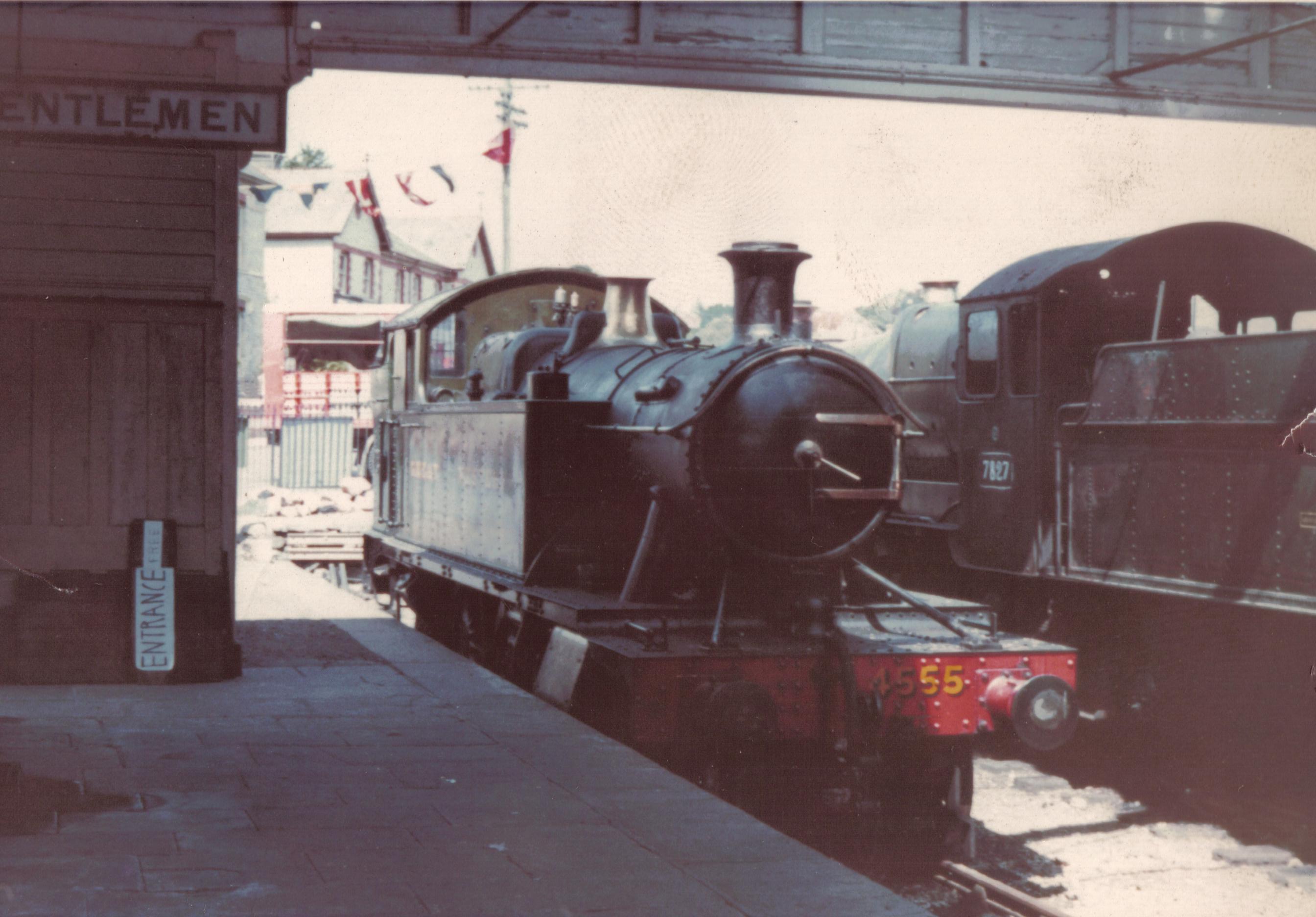
Ashburton railway station is a closed railway station situated in the town of Ashburton in Devon, England. It was the terminus of a branch line from Totnes. History Ashburton station, along with the rest of the branch from Totnes, was opened by the Buckfastleigh, Totnes and South Devon Railway on 1 May 1872. The railway was amalgamated into the Great Western Railway in 1897 and this in turn was nationalised into British Railways on 1 January 1948. The station closed to passengers in November 1958 although goods traffic on the line continued until 7 September 1962. The station was briefly re-opened by the Dart Valley Railway, a heritage railway, on 5 April 1969 following which occasional works trains operated but the station was closed finally in 1971 when the track bed between Ashburton and Buckfastleigh was needed for improvements to the A38 road. The South Devon Railway, a successor to the Dart Valley Railway, still operates the remainder of the branch between Totnes a ... [...More Info...] [...Related Items...] OR: [Wikipedia] [Google] [Baidu] |
Cycling
Cycling, also, when on a two-wheeled bicycle, called bicycling or biking, is the use of cycles for transport, recreation, exercise or sport. People engaged in cycling are referred to as "cyclists", "bicyclists", or "bikers". Apart from two-wheeled bicycles, "cycling" also includes the riding of unicycles, tricycles, quadricycles, recumbent and similar human-powered vehicles (HPVs). Bicycles were introduced in the 19th century and now number approximately one billion worldwide. They are the principal means of transportation in many parts of the world, especially in densely populated European cities. Cycling is widely regarded as an effective and efficient mode of transportation optimal for short to moderate distances. Bicycles provide numerous possible benefits in comparison with motor vehicles, including the sustained physical exercise involved in cycling, easier parking, increased maneuverability, and access to roads, bike paths and rural trails. Cycling also offers a r ... [...More Info...] [...Related Items...] OR: [Wikipedia] [Google] [Baidu] |
Pedestrian
A pedestrian is a person traveling on foot, whether walking or running. In modern times, the term usually refers to someone walking on a road or pavement, but this was not the case historically. The meaning of pedestrian is displayed with the morphemes ''ped-'' ('foot') and ''-ian'' ('characteristic of'). This word is derived from the Latin term ''pedester'' ('going on foot') and was first used (in English language) during the 18th century. It was originally used, and can still be used today, as an adjective meaning plain or dull. However, in this article it takes on its noun form and refers to someone who walks. The word pedestrian may have been used in middle French in the Recueil des Croniques et Anchiennes Istories de la Grant Bretaigne, à présent nommé Engleterre. In California the definition of a pedestrian has been broadened to include anyone on any human powered vehicle that is not a bicycle, as well as people operating self-propelled wheelchairs by reason of p ... [...More Info...] [...Related Items...] OR: [Wikipedia] [Google] [Baidu] |
Glen Iris, Victoria
Glen Iris is a suburb in Melbourne, Victoria, Australia, south-east of Melbourne's Central Business District, located within the Cities of Boroondara and Stonnington local government areas. Glen Iris recorded a population of 26,131 at the 2021 census. Glen Iris has been Melbourne's geographical centre of population since the 1990s. History Captain Thomas Henderson, of the Royal Navy, arrived in Melbourne on a ship called ''Iris'' in 1850. He acquired a property bounded by Gardiners Creek, High Street and a line extending Summerhill Road to Gardiners Creek. The property was advertised for sale as ''Glen Iris'', in 1852. Robert Kent, a subsequent owner of the ''Glen Iris'' homestead, suggested a Mechanics' Institute be established, but it was never completed. A Wesleyan church was established in 1865 and in 1871 land was granted for an adjacent school (now Glen Iris Primary School). By the 1880s reference was made to the Township of Glen Iris. Glen Iris Post Office opened on ... [...More Info...] [...Related Items...] OR: [Wikipedia] [Google] [Baidu] |
Gardiners Creek Trail
__NOTOC__ The Gardiners Creek Trail is a shared use path for cyclists and pedestrians, which follows Gardiners Creek through the eastern suburbs of Melbourne, Victoria, Australia. Bicycle Victoria is campaigning for a connection between Winton Road and Warrigal Road, to complete the gap in the trail at this point. It is proposed that the path would continue along the creek parallel to the Malvern Public Golf Course, spanning the gap from Winton Road to Warrigal Road. Following the path The path begins as a branch of the Main Yarra Trail, opposite St Kevin's College and Scotch College, close to Kooyong railway station (on the Glen Waverley line); between the suburbs of Toorak, Hawthorn, and Kooyong. The path snakes along Gardiners Creek, near the Monash Freeway. It also goes past Solway Primary School. Near Malvern East railway station it crosses Winton Road, and shortly after this point the path diverts. The branch to the right leads to a bridge over the Monash Freew ... [...More Info...] [...Related Items...] OR: [Wikipedia] [Google] [Baidu] |
Outer Circle Trail
__NOTOC__ The Outer Circle Trail, also known as the Anniversary Trail, Anniversary Outer Circle Trail, or even the Outer Circle Anniversary Trail, is a shared use path for cyclists and pedestrians, which partly follows the Alamein Line through the inner eastern suburbs of Melbourne, Victoria, Australia. The trail follows the right-of-way of the old steam era Outer Circle Line. It runs from the Yarra River Trail near the Eastern Freeway at Fairfield, down to Hughesdale Station in the south. The Outer Circle train line opened in 1891. Parts of the trail were opened 100 years later in 1991, hence the Anniversary. It is heavily used by local residents and recreational cyclists, due to its proximity to other paths, many suburbs, and connecting transport. The path was upgraded in Dec 2006 and is now fully sealed and divided. Signs are still lacking, and there is no lighting for some of the sections, such as between Whitehorse Rd and East Camberwell station. The path, in some ... [...More Info...] [...Related Items...] OR: [Wikipedia] [Google] [Baidu] |
Alamein Railway Line
The Alamein railway line is a commuter railway line operating between Flinders Street in the Melbourne central business district and Ashburton through Melbourne's eastern suburbs including Richmond, Cremorne, Burnley, Hawthorn, Hawthorn East, Camberwell, Glen Iris and Ashburton. It is part of the Melbourne rail network, which is operated by Metro Trains Melbourne. Description The Alamein line heads south from Camberwell across gentle hills, with some moderately heavy earthworks. The line crosses under or over several roads by means of bridges, and only has two level crossings, one of which carries tram tracks, one of three such tram/train crossings in Melbourne. The area served by the line is fully built up and a mostly residential area. The line is operated as a shuttle service between Camberwell and Alamein stations during off-peak periods, while trains run the whole distance to Flinders Street during peak hours. Infrastructure The line shares four tracks to Burnley, wh ... [...More Info...] [...Related Items...] OR: [Wikipedia] [Google] [Baidu] |


