|
Fenwick Island, Delaware
Fenwick Island is a coastal resort town in Sussex County, Delaware, United States. According to 2020 census figures, the population of the town is 355, a 2.6% decrease over the last decade. It is part of the Salisbury, Maryland-Delaware Metropolitan Statistical Area. The town is located on Fenwick Island, a barrier spit. Fenwick Island and its neighbors to the north, Bethany Beach and South Bethany, are popularly known as "The Quiet Resorts". This is in contrast to the wild atmosphere of Dewey Beach and the cosmopolitan bustle of Rehoboth Beach. Fenwick Island, however, is somewhat less "quiet" than "the Bethanies" because it is immediately across the state line from Ocean City, Maryland, which has a reputation as a lively vacation resort. Named after Thomas Fenwick, a planter from England who settled in Maryland, Fenwick Island lay in the part of Delaware which was claimed by Lord Baltimore and his heirs during the Penn-Baltimore border dispute. Contrary to popular beli ... [...More Info...] [...Related Items...] OR: [Wikipedia] [Google] [Baidu] |
Town
A town is a human settlement. Towns are generally larger than villages and smaller than cities, though the criteria to distinguish between them vary considerably in different parts of the world. Origin and use The word "town" shares an origin with the German word , the Dutch word , and the Old Norse . The original Proto-Germanic word, *''tūnan'', is thought to be an early borrowing from Proto-Celtic *''dūnom'' (cf. Old Irish , Welsh ). The original sense of the word in both Germanic and Celtic was that of a fortress or an enclosure. Cognates of ''town'' in many modern Germanic languages designate a fence or a hedge. In English and Dutch, the meaning of the word took on the sense of the space which these fences enclosed, and through which a track must run. In England, a town was a small community that could not afford or was not allowed to build walls or other larger fortifications, and built a palisade or stockade instead. In the Netherlands, this space was a garden, mor ... [...More Info...] [...Related Items...] OR: [Wikipedia] [Google] [Baidu] |
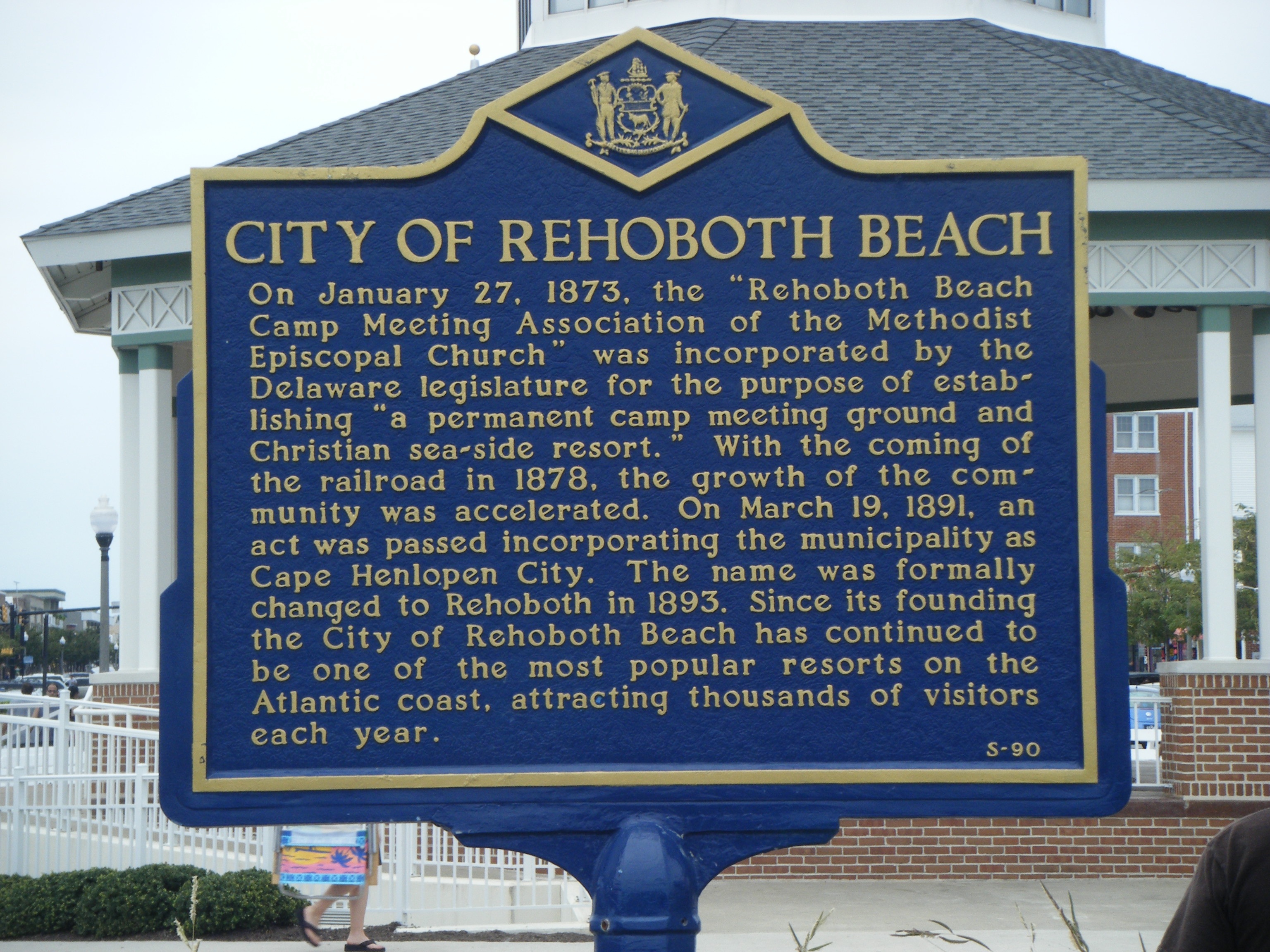
Rehoboth Beach, Delaware
Rehoboth Beach ( ) is a city on the Atlantic Ocean along the Delaware Beaches in eastern Sussex County, Delaware. As of the 2010 U.S. census, the population was 1,327, reflecting a decline of 161 (11.2%) from the 1,488 counted in the 2000 census. Along with the neighboring coastal town of Lewes, Rehoboth Beach is one of the principal cities of Delaware's rapidly growing Cape Region. Rehoboth Beach lies within the Salisbury metropolitan area. A popular, affluent vacation destination, many individuals maintain summer homes in Rehoboth Beach, including current U.S. President Joe Biden. During on-season, Rehoboth Beach's population expands to over 25,000 within the city limits and thousands more in the surrounding area in the summer. In 2011, the NRDC awarded Rehoboth Beach with a 5-Star rating in water quality. This award was given only to 12 other locations, one being neighboring Dewey Beach. Out of the 30 states with coastline, the Delaware Beaches ranked number one for ... [...More Info...] [...Related Items...] OR: [Wikipedia] [Google] [Baidu] |
Delaware Route 54
Delaware ( ) is a state in the Mid-Atlantic region of the United States, bordering Maryland to its south and west; Pennsylvania to its north; and New Jersey and the Atlantic Ocean to its east. The state takes its name from the adjacent Delaware Bay, in turn named after Thomas West, 3rd Baron De La Warr, an English nobleman and Virginia's first colonial governor. Delaware occupies the northeastern portion of the Delmarva Peninsula and some islands and territory within the Delaware River. It is the second-smallest and sixth-least populous state, but also the sixth-most densely populated. Delaware's largest city is Wilmington, while the state capital is Dover, the second-largest city in the state. The state is divided into three counties, having the lowest number of counties of any state; from north to south, they are New Castle County, Kent County, and Sussex County. While the southern two counties have historically been predominantly agricultural, New Castle is more ur ... [...More Info...] [...Related Items...] OR: [Wikipedia] [Google] [Baidu] |
Maryland Route 528
Maryland Route 528 (MD 528) is a state highway in the U.S. state of Maryland. Known for most of its length as Coastal Highway, the state highway runs from the southern terminus of its companion route, unsigned highway, unsigned Maryland Route 378 (MD 378), in downtown Ocean City, Maryland, Ocean City north to the Delaware state line at the northern edge of the resort town, where the highway continues as Delaware Route 1 (DE 1). MD 528 and MD 378 are the primary north–south streets of Ocean City, where they provide access to countless hotels, condos, restaurants, shops, and other businesses catering to tourists. These highways experience heavy seasonal traffic and provide access to hurricane evacuation routes, which include U.S. Route 50 in Maryland, U.S. Route 50 (US 50), Maryland Route 90, MD 90, and Route 54 (Delaware–Maryland), DE 54. Both Baltimore Avenue and Philadelphia Avenue date back to the founding of Ocean City in the late 19th century. MD 378 was assigned ... [...More Info...] [...Related Items...] OR: [Wikipedia] [Google] [Baidu] |
Delaware Route 1
Delaware Route 1 (DE 1) is the longest numbered state highway in the U.S. state of Delaware. The route runs from the Maryland state line in Fenwick Island, Sussex County, where the road continues south into that state as Maryland Route 528 (MD 528), north to an interchange with Interstate 95 (I-95) in Christiana, New Castle County, where the road continues north as part of DE 7. Between Fenwick Island and Dover Air Force Base in Dover, Kent County, DE 1 is a multilane divided highway with at-grade intersections and occasional interchanges. The route heads north through the Delaware Beaches resort area along the Atlantic Ocean before it runs northwest through rural areas, turning north at Milford to continue to Dover. Upon reaching Dover, DE 1 becomes the Korean War Veterans Memorial Highway, a freeway that is partially tolled. Between Dover and Tybouts Corner, DE 1 parallels U.S. Route 13 (US 13), crossing over and ... [...More Info...] [...Related Items...] OR: [Wikipedia] [Google] [Baidu] |
2022-07-14 17 10 00 View South Along Delaware State Route 1 (Coastal Highway) Just North Of East Lewes Street In Fenwick Island, Sussex County, Delaware
The hyphen-minus is the most commonly used type of hyphen, widely used in digital documents. It is the only character that looks like a minus sign or a dash in many character sets such as ASCII or on most keyboards, so it is also used as such. The name "hyphen-minus" derives from the original ASCII standard, where it was called "hyphen(minus)". The character is referred to as a "hyphen", a "minus sign", or a "dash" according to the context where it is being used. Description In early monospaced font typewriters and character encodings, a single key/code was almost always used for hyphen, minus, various dashes, and strikethrough, since they all have a roughly similar appearance. The current Unicode Standard specifies distinct characters for a number of different dashes, an unambiguous minus sign ("Unicode minus") at code point U+2212, and various types of hyphen including the unambiguous "Unicode hyphen" at U+2010 and the hyphen-minus at U+002D. When a hyphen is called for, the ... [...More Info...] [...Related Items...] OR: [Wikipedia] [Google] [Baidu] |
Humid Subtropical Climate
A humid subtropical climate is a zone of climate characterized by hot and humid summers, and cool to mild winters. These climates normally lie on the southeast side of all continents (except Antarctica), generally between latitudes 25° and 40° and are located poleward from adjacent tropical climates. It is also known as warm temperate climate in some climate classifications. Under the Köppen climate classification, ''Cfa'' and ''Cwa'' climates are either described as humid subtropical climates or warm temperate climates. This climate features mean temperature in the coldest month between (or ) and and mean temperature in the warmest month or higher. However, while some climatologists have opted to describe this climate type as a "humid subtropical climate", Köppen himself never used this term. The humid subtropical climate classification was officially created under the Trewartha climate classification. In this classification, climates are termed humid subtropical when the ... [...More Info...] [...Related Items...] OR: [Wikipedia] [Google] [Baidu] |
Köppen Climate Classification
The Köppen climate classification is one of the most widely used climate classification systems. It was first published by German-Russian climatologist Wladimir Köppen (1846–1940) in 1884, with several later modifications by Köppen, notably in 1918 and 1936. Later, the climatologist Rudolf Geiger (1894–1981) introduced some changes to the classification system, which is thus sometimes called the Köppen–Geiger climate classification system. The Köppen climate classification divides climates into five main climate groups, with each group being divided based on seasonal precipitation and temperature patterns. The five main groups are ''A'' (tropical), ''B'' (arid), ''C'' (temperate), ''D'' (continental), and ''E'' (polar). Each group and subgroup is represented by a letter. All climates are assigned a main group (the first letter). All climates except for those in the ''E'' group are assigned a seasonal precipitation subgroup (the second letter). For example, ''Af'' indi ... [...More Info...] [...Related Items...] OR: [Wikipedia] [Google] [Baidu] |
United States Census Bureau
The United States Census Bureau (USCB), officially the Bureau of the Census, is a principal agency of the U.S. Federal Statistical System, responsible for producing data about the American people and economy. The Census Bureau is part of the U.S. Department of Commerce and its director is appointed by the President of the United States. The Census Bureau's primary mission is conducting the U.S. census every ten years, which allocates the seats of the U.S. House of Representatives to the states based on their population. The bureau's various censuses and surveys help allocate over $675 billion in federal funds every year and it assists states, local communities, and businesses make informed decisions. The information provided by the census informs decisions on where to build and maintain schools, hospitals, transportation infrastructure, and police and fire departments. In addition to the decennial census, the Census Bureau continually conducts over 130 surveys and programs ... [...More Info...] [...Related Items...] OR: [Wikipedia] [Google] [Baidu] |
Pirate
Piracy is an act of robbery or criminal violence by ship or boat-borne attackers upon another ship or a coastal area, typically with the goal of stealing cargo and other valuable goods. Those who conduct acts of piracy are called pirates, vessels used for piracy are pirate ships. The earliest documented instances of piracy were in the 14th century BC, when the Sea Peoples, a group of ocean raiders, attacked the ships of the Aegean and Mediterranean civilisations. Narrow channels which funnel shipping into predictable routes have long created opportunities for piracy, as well as for privateering and commerce raiding. Historic examples include the waters of Gibraltar, the Strait of Malacca, Madagascar, the Gulf of Aden, and the English Channel, whose geographic structures facilitated pirate attacks. The term ''piracy'' generally refers to maritime piracy, although the term has been generalized to refer to acts committed on land, in the air, on computer networks, and (in scien ... [...More Info...] [...Related Items...] OR: [Wikipedia] [Google] [Baidu] |
Little Assawoman Bay
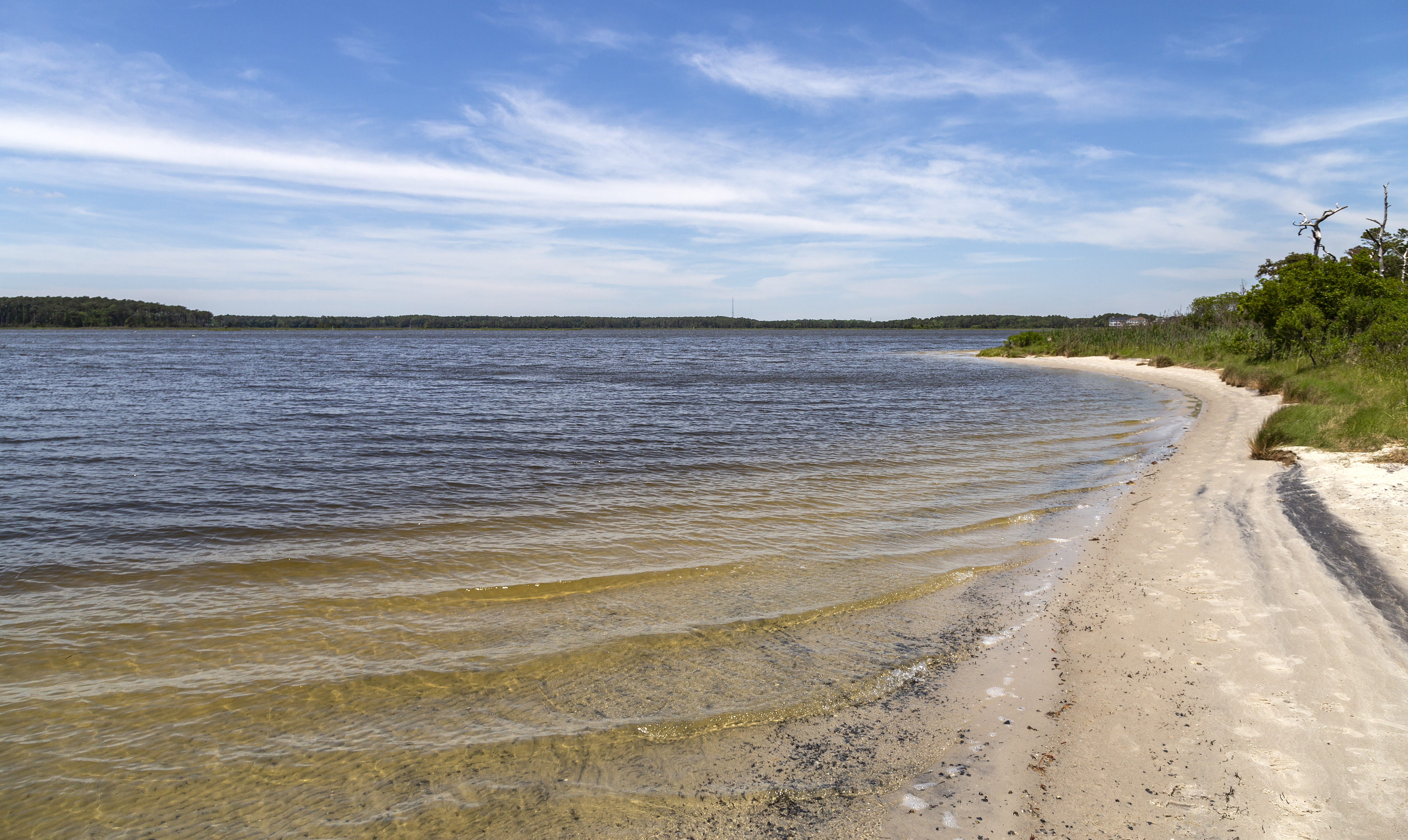
Little Assawoman Bay is a body of water in Sussex County, Delaware, Sussex County, Delaware. It is connected from Assawoman Bay to the south by a narrow canal known locally as "The Ditch," and is connected to Indian River Bay to the north by the Assawoman Canal. It is separated from the Atlantic Ocean by the Fenwick Island (Delaware–Maryland), Fenwick Island barrier spit. References Bays of Delaware Bays of Sussex County, Delaware {{Delaware-geo-stub ... [...More Info...] [...Related Items...] OR: [Wikipedia] [Google] [Baidu] |
.jpg)


