|
Fallowfield, Ontario
Fallowfield is an unincorporated village (also known as Fallowfield Village) in the city of Ottawa, Ontario, Canada, located south-west of Bells Corners, west of Barrhaven and the 416 and north-east of Richmond within the southwest area of the city. Fallowfield is located in the triangle of Fallowfield Road, Richmond Road and Steeple Hill Crescent and also includes Richmond Road north up to Hope Side Road. The village serves as a bedroom community for the larger urban area of Ottawa as there are no retail or commercial enterprises in the village. It assumes a rather prominent position over the surrounding countryside as the major part of the village is located on a gently terraced escarpment. Population for the village is estimated at about 366 people as of 2004. Public high school students in this area go to South Carleton High School in Richmond. It is the site of the CFIA Fallowfield Laboratory, a 2000-acre farm which houses amongst other facilities the Food Science Labo ... [...More Info...] [...Related Items...] OR: [Wikipedia] [Google] [Baidu] |
Provinces And Territories Of Canada
Within the geographical areas of Canada, the ten provinces and three territories are sub-national administrative divisions under the jurisdiction of the Canadian Constitution. In the 1867 Canadian Confederation, three provinces of British North America—New Brunswick, Nova Scotia, and the Province of Canada (which upon Confederation was divided into Ontario and Quebec)—united to form a federation, becoming a fully independent country over the next century. Over its history, Canada's international borders have changed several times as it has added territories and provinces, making it the world's second-largest country by area. The major difference between a Canadian province and a territory is that provinces receive their power and authority from the ''Constitution Act, 1867'' (formerly called the ''British North America Act, 1867''), whereas territorial governments are creatures of statute with powers delegated to them by the Parliament of Canada. The powers flowing from t ... [...More Info...] [...Related Items...] OR: [Wikipedia] [Google] [Baidu] |
County Tipperary
County Tipperary ( ga, Contae Thiobraid Árann) is a county in Ireland. It is in the province of Munster and the Southern Region. The county is named after the town of Tipperary, and was established in the early 13th century, shortly after the Norman invasion of Ireland. It is Ireland's largest inland county and shares a border with 8 counties, more than any other. The population of the county was 159,553 at the 2016 census. The largest towns are Clonmel, Nenagh and Thurles. Tipperary County Council is the local authority for the county. In 1838, County Tipperary was divided into two ridings, North and South. From 1899 until 2014, they had their own county councils. They were unified under the Local Government Reform Act 2014, which came into effect following the 2014 local elections on 3 June 2014. Geography Tipperary is the sixth-largest of the 32 counties by area and the 12th largest by population. It is the third-largest of Munster's 6 counties by both size and popul ... [...More Info...] [...Related Items...] OR: [Wikipedia] [Google] [Baidu] |
Canadian Broadcasting Corporation
The Canadian Broadcasting Corporation (french: Société Radio-Canada), branded as CBC/Radio-Canada, is a Canadian public broadcaster for both radio and television. It is a federal Crown corporation that receives funding from the government. The English- and French-language service units of the corporation are commonly known as CBC and Radio-Canada, respectively. Although some local stations in Canada predate the CBC's founding, CBC is the oldest existing broadcasting network in Canada. The CBC was established on November 2, 1936. The CBC operates four terrestrial radio networks: The English-language CBC Radio One and CBC Music, and the French-language Ici Radio-Canada Première and Ici Musique. (International radio service Radio Canada International historically transmitted via shortwave radio, but since 2012 its content is only available as podcasts on its website.) The CBC also operates two terrestrial television networks, the English-language CBC Television and the Frenc ... [...More Info...] [...Related Items...] OR: [Wikipedia] [Google] [Baidu] |
Nepean Museum
The Nepean Museum is a museum in Ottawa, Ontario, Canada. It is a community-focused museum that preserves, makes accessible and communicates the former municipality of Nepean's history. Artifacts related to Nepean, from its beginnings to the 20th century, are restored and displayed in the museum galleries and grounds. The museum has an open concept exhibit area of approximately 2000sq ft. The museum collects, preserves, researches, exhibits and interprets the works of man and nature in Nepean. Its address is 16 Rowley Avenue, Ottawa, Ontario, Canada. Although daily admission to the museum is free, special event and program fees may apply. The museum is open Monday to Friday, 10 a.m. to 5 p.m., and Saturdays and Sundays from 1 p.m. to 4 p.m. Closed November 11, December 25 and 26, and January 1. History The West Carleton Museum was established in 1973. In 1976, the West Carleton Museum was renamed the “Nepean Museum”. The Nepean Museum was incorporated as a non-profit organiza ... [...More Info...] [...Related Items...] OR: [Wikipedia] [Google] [Baidu] |
Nepean, Ontario
Nepean ( ) is a former municipality and now geographic area of Ottawa, Ontario, Canada. Located west of Ottawa's inner core, it was an independent city until amalgamated with the Regional Municipality of Ottawa–Carleton in 2001 to become the new city of Ottawa. However, the name Nepean continues in common usage in reference to the area. The population of Nepean is about 186,593 people (2021 Census). Although the neighbouring municipality of Kanata, Ontario, Kanata formed the entrepreneurial and high tech centre of the region, Nepean hosted noted industries such as Nortel Networks, JDS Uniphase and Gandalf Technologies. As with the rest of the National Capital Region, however, Nepean's economy was also heavily dependent on federal government employment. Most of Nepean's employed residents commute to downtown Ottawa or Kanata for work. Nepean's policies of operational and capital budgeting prudence contrasted with the budget philosophies of some other municipalities in the area. ... [...More Info...] [...Related Items...] OR: [Wikipedia] [Google] [Baidu] |
Carleton County
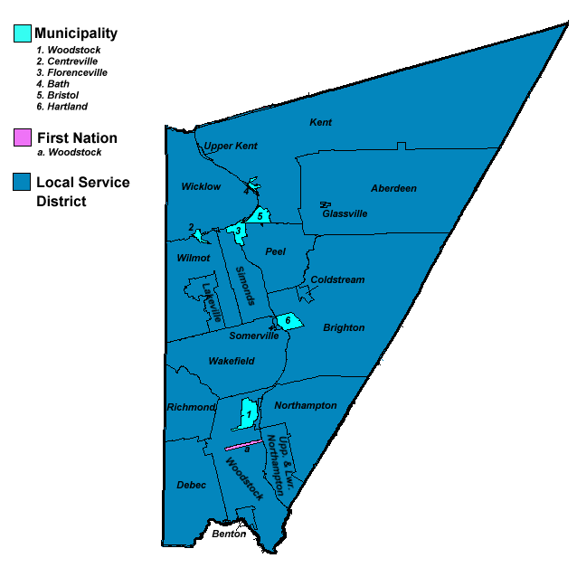
Carleton County (2016 population 26,220) is located in west-central New Brunswick, Canada. The western border is Aroostook County, Maine, Aroostook County, Maine, the northern border is Victoria County, New Brunswick, Victoria County, and the southeastern border is York County, New Brunswick, York County from which it was formed in 1831. The Saint John River (New Brunswick), Saint John River bisects the western section of the county. The Southwest Miramichi River flows through the eastern section of the county. Potato farming is a major industry. The scenic town of Hartland, New Brunswick, Hartland is home to the longest covered bridge in the world. Transportation Major Highways * * * * * * * * * * * * * * * * * * * * Census subdivisions List of communities in New Brunswick, Communities There are five incorporated municipalities within Carleton County (listed by 2016 population): First Nations There is one First Nations reserve in Carleton County, the Woodstock_First_Na ... [...More Info...] [...Related Items...] OR: [Wikipedia] [Google] [Baidu] |
Weighing Scale
A scale or balance is a device used to measure weight or mass. These are also known as mass scales, weight scales, mass balances, and weight balances. The traditional scale consists of two plates or bowls suspended at equal distances from a fulcrum. One plate holds an object of unknown mass (or weight), while known masses are added to the other plate until static equilibrium is achieved and the plates level off, which happens when the masses on the two plates are equal. The perfect scale rests at neutral. A spring scale will make use of a spring of known stiffness to determine mass (or weight). Suspending a certain mass will extend the spring by a certain amount depending on the spring's stiffness (or spring constant). The heavier the object, the more the spring stretches, as described in Hooke's law. Other types of scales making use of different physical principles also exist. Some scales can be calibrated to read in units of force (weight) such as newtons instead of unit ... [...More Info...] [...Related Items...] OR: [Wikipedia] [Google] [Baidu] |
Gristmill
A gristmill (also: grist mill, corn mill, flour mill, feed mill or feedmill) grinds cereal grain into flour and Wheat middlings, middlings. The term can refer to either the Mill (grinding), grinding mechanism or the building that holds it. Grist is grain that has been separated from its chaff in preparation for grinding. History Early history The Greek geographer Strabo reports in his ''Geography'' a water-powered grain-mill to have existed near the palace of king Mithradates VI Eupator at Cabira, Asia Minor, before 71 BC. The early mills had horizontal paddle wheels, an arrangement which later became known as the "Water wheel#Vertical axis, Norse wheel", as many were found in Scandinavia. The paddle wheel was attached to a shaft which was, in turn, attached to the centre of the millstone called the "runner stone". The turning force produced by the water on the paddles was transferred directly to the runner stone, causing it to grind against a stationary "Mill machinery#Wat ... [...More Info...] [...Related Items...] OR: [Wikipedia] [Google] [Baidu] |
Bytown
Bytown is the former name of Ottawa, Ontario, Canada. It was founded on September 26, 1826, incorporated as a town on January 1, 1850, and superseded by the incorporation of the City of Ottawa on January 1, 1855. The founding was marked by a Groundbreaking, sod turning, and a letter from Governor General George Ramsay, 9th Earl of Dalhousie, Dalhousie which authorized Lieutenant Colonel John By to divide up the town into lots. Bytown came about as a result of the construction of the Rideau Canal and grew largely due to the Ottawa River timber trade. Bytown's first mayor was John Scott (Canadian politician), John Scott, elected in 1847. Overview Bytown was located where the Rideau Canal meets the Ottawa River and consisted of two parts centered around the canal, Upper Town and Lower Town. Upper Town, situated to the west of the canal, was situated in the area of the current downtown Ottawa, downtown and Parliament Hill. Lower Town was on the east side of the canal where today ... [...More Info...] [...Related Items...] OR: [Wikipedia] [Google] [Baidu] |
Perth, Ontario
Perth is a town in Eastern Ontario, Canada. It is located on the Tay River, southwest of Ottawa, and is the seat of Lanark County. History The town was established as a military settlement in 1816, shortly after the War of 1812. The settlement of Lanark County began in 1815. In that year "the Settlement forming on the Rideau River" as it was officially referred to (and which soon became known as "Perth Military Settlement") began to function under Military direction. The settlement was named Perth in honour of acting Governor-General Sir Gordon Drummond, whose ancestral home was Perthshire. Several townships were surveyed to facilitate the location of farms for military and other settlers; and the site of the future Town of Perth, which had been chosen as the headquarters of the Military Establishment was surveyed in 1816. Many of the first settlers were military veterans on half pay, while others were military veterans from France, Germany, Poland, Italy, Scotland or Ireland ... [...More Info...] [...Related Items...] OR: [Wikipedia] [Google] [Baidu] |
Rideau Canal
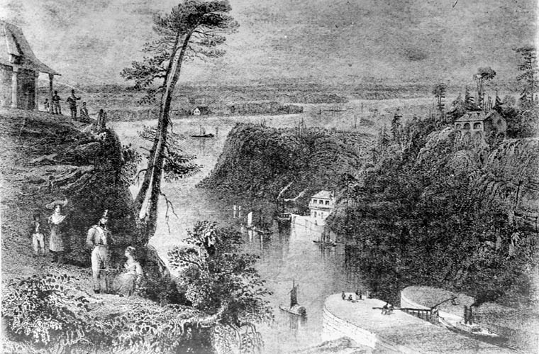
The Rideau Canal, also known unofficially as the Rideau Waterway, connects Canada's capital city of Ottawa, Ontario, to Lake Ontario and the Saint Lawrence River at Kingston. It is 202 kilometres long. The name ''Rideau'', French for "curtain", is derived from the curtain-like appearance of the Rideau River's twin waterfalls where they join the Ottawa River. The canal system uses sections of two rivers, the Rideau and the Cataraqui, as well as several lakes. Parks Canada operates the Rideau Canal. The canal was opened in 1832 as a precaution in case of war with the United States. It remains in use today primarily for pleasure boating, with most of its original structures intact. The locks on the system open for navigation in mid-May and close in mid-October. It is the oldest continuously operated canal system in North America. In 2007 it was registered as a UNESCO World Heritage Site. History Plan After the War of 1812, information was received about the United States' ... [...More Info...] [...Related Items...] OR: [Wikipedia] [Google] [Baidu] |
Manchester
Manchester () is a city in Greater Manchester, England. It had a population of 552,000 in 2021. It is bordered by the Cheshire Plain to the south, the Pennines to the north and east, and the neighbouring city of Salford to the west. The two cities and the surrounding towns form one of the United Kingdom's most populous conurbations, the Greater Manchester Built-up Area, which has a population of 2.87 million. The history of Manchester began with the civilian settlement associated with the Roman fort ('' castra'') of ''Mamucium'' or ''Mancunium'', established in about AD 79 on a sandstone bluff near the confluence of the rivers Medlock and Irwell. Historically part of Lancashire, areas of Cheshire south of the River Mersey were incorporated into Manchester in the 20th century, including Wythenshawe in 1931. Throughout the Middle Ages Manchester remained a manorial township, but began to expand "at an astonishing rate" around the turn of the 19th century. Manchest ... [...More Info...] [...Related Items...] OR: [Wikipedia] [Google] [Baidu] |


