|
Forest Of Pendle
The Forest of Pendle is the name given to an area of hilly landscape to the east of Pendle Hill in eastern Lancashire, roughly defining the watershed between the River Ribble and its tributary the River Calder. The forest is not identical to the modern local government district of Pendle, which is larger. And in fact the modern version of the forest has come to contain areas to the north and east of Pendle Hill which are partly in the district of Ribble Valley. The area is not a forest in the modern sense of being heavily wooded, and has not been so for many centuries. Historically a somewhat larger area than the modern forest was one of the several royal forests of the area, under the control of Clitheroe Castle, or Honour of Clitheroe. Over its history, the forest has gone from being protected and regulated as a medieval royal forest, to being labelled as an Area of Outstanding Natural Beauty. Medieval history In 1086, at the time of the Domesday Book, Pendle forest was part ... [...More Info...] [...Related Items...] OR: [Wikipedia] [Google] [Baidu] |
Pendle Hill
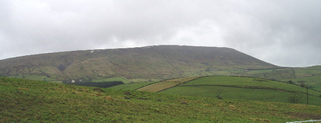
Pendle Hill is in the east of Lancashire, England, near the towns of Burnley, Nelson, Colne, Brierfield, Clitheroe and Padiham. Its summit is above mean sea level. It gives its name to the Borough of Pendle. It is an isolated hill in the Pennines, separated from the South Pennines to the east, the Bowland Fells to the northwest, and the West Pennine Moors to the south. It is included in a detached part of the Forest of Bowland Area of Outstanding Natural Beauty. History The name "Pendle Hill" combines the words for hill from three different languages (as does Bredon Hill in Worcestershire). In the 13th century it was called ''Pennul'' or ''Penhul'', apparently from the Cumbric ''pen'' and Old English ''hyll'', both meaning "hill". The modern English "hill" was appended later, after the original meaning of Pendle had become opaque. A Bronze Age burial site has been discovered at the summit of the hill. There is an ancient local legend that the Devil once jumped from Hameld ... [...More Info...] [...Related Items...] OR: [Wikipedia] [Google] [Baidu] |
Pontefract
Pontefract is a historic market town in the Metropolitan Borough of Wakefield in West Yorkshire, England, east of Wakefield and south of Castleford. Historically part of the West Riding of Yorkshire, it is one of the towns in the City of Wakefield District and had a population of 30,881 at the 2011 Census. Pontefract's motto is , Latin for "After the death of the father, support the son", a reference to the town's Royalist sympathies in the English Civil War. Etymology At the end of the 11th century, the modern township of Pontefract consisted of two distinct and separate localities known as Tanshelf and Kirkby.Eric Houlder, Ancient Roots North: When Pontefract Stood on the Great North Road, (Pontefract: Pontefract Groups Together, 2012) p.7. The 11th-century historian, Orderic Vitalis, recorded that, in 1069, William the Conqueror travelled across Yorkshire to put down an uprising which had sacked York, but that, upon his journey to the city, he discovered that the cro ... [...More Info...] [...Related Items...] OR: [Wikipedia] [Google] [Baidu] |
Barley-with-Wheatley Booth
Barley-with-Wheatley Booth is a civil parish in the Pendle district of Lancashire, England. It has a population of 298, and contains the village of Barley and the hamlet of White Hough or Whitehough (). To the west of Barley is Pendle Hill; its summit, at 557 metres (1,827 ft), is within the parish. The parish adjoins the Pendle parishes of Blacko, Roughlee Booth and Goldshaw Booth and the Ribble Valley parishes of Sabden, Mearley, Worston, Downham and Twiston. It is part of the Forest of Bowland Area of Outstanding Natural Beauty (AONB). Barley-with-Wheatley Booth was once a township in the ancient parish of Whalley. This became a civil parish in 1866, forming part of the Burnley Rural District from 1894. Along with Higham-with-West Close Booth, Goldshaw Booth and Roughlee Booth, the parish forms the Higham with Pendleside ward of Pendle Borough Council. According to the United Kingdom Census 2011 A Census in the United Kingdom, census of the population of the United ... [...More Info...] [...Related Items...] OR: [Wikipedia] [Google] [Baidu] |
Reedley Hallows
Reedley Hallows or Reedley is a civil parish in the Borough of Pendle in Lancashire, England. It forms part of Burnley and Brierfield. It had a population of 1,994, reducing to 1,960 at the 2011 Census. It is on the Leeds and Liverpool Canal, and the construction of a marina started in January 2008 and is expected to be completed in September. The local railway station, Reedley Hallows Halt on the East Lancashire Line, closed in 1956. The marina, and the site of the railway station, are both outside the current boundary of the parish, and are in an unparished area, which is part of the town of Burnley. History The civil parish was created in 1894 from the majority of Reedley Hallows, Filly Close and New Laund Booth civil parish. That civil parish had been created in 1866 from the township in the ancient parish of Whalley. The original boundary with Burnley was Barden Clough, but as town expanded it was moved to the north-west. Although administratively inside the parish ... [...More Info...] [...Related Items...] OR: [Wikipedia] [Google] [Baidu] |
Higham With West Close Booth
Higham is a village in the Borough of Pendle in Lancashire, England, south of Pendle Hill. The civil parish is named Higham with West Close Booth. The village is north-east of Padiham and about south-west of Nelson along the A6068 road. According to the United Kingdom Census 2011, the parish has a population of 778, a decrease from 808 in the 2001 census. The parish adjoins the other Pendle parishes of Goldshaw Booth, Old Laund Booth and Reedley Hallows, the Burnley parishes of Ightenhill and Padiham, and the Ribble Valley parishes of Simonstone and Sabden. The area of the parish north of Stump Hall Road is part of the Forest of Bowland Area of Outstanding Natural Beauty (AONB). Governance Higham with West Close Booth was once a township in the ancient parish of Whalley. This became a civil parish in 1866, forming part of the Burnley Rural District from 1894. The township included a detached area south of the village of Fence, but this part transferred to Old Laund Booth i ... [...More Info...] [...Related Items...] OR: [Wikipedia] [Google] [Baidu] |
Middle Ages
In the history of Europe, the Middle Ages or medieval period lasted approximately from the late 5th to the late 15th centuries, similar to the post-classical period of global history. It began with the fall of the Western Roman Empire and transitioned into the Renaissance and the Age of Discovery. The Middle Ages is the middle period of the three traditional divisions of Western history: classical antiquity, the medieval period, and the modern period. The medieval period is itself subdivided into the Early, High, and Late Middle Ages. Population decline, counterurbanisation, the collapse of centralized authority, invasions, and mass migrations of tribes, which had begun in late antiquity, continued into the Early Middle Ages. The large-scale movements of the Migration Period, including various Germanic peoples, formed new kingdoms in what remained of the Western Roman Empire. In the 7th century, North Africa and the Middle East—most recently part of the Eastern Ro ... [...More Info...] [...Related Items...] OR: [Wikipedia] [Google] [Baidu] |
Edward II Of England
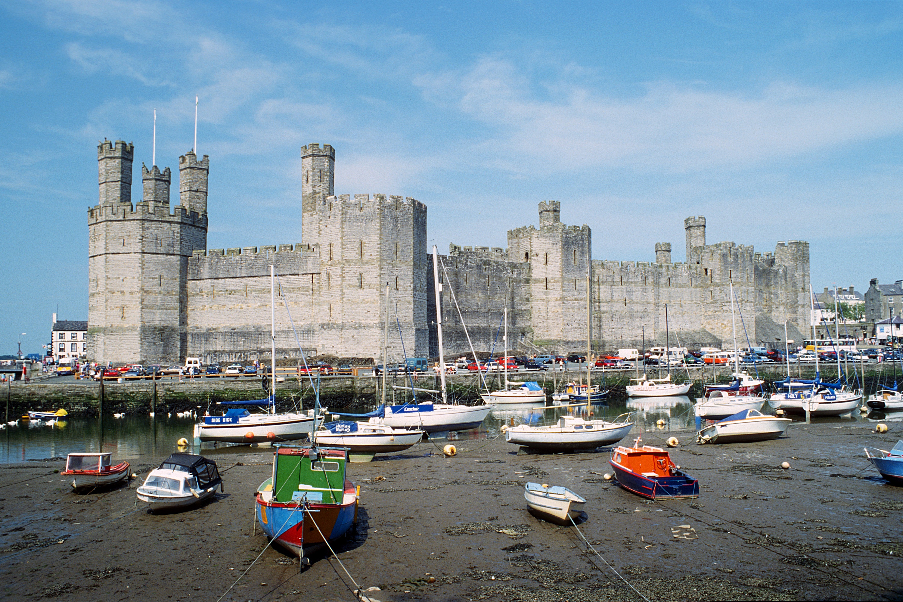
Edward II (25 April 1284 – 21 September 1327), also called Edward of Caernarfon, was King of England and Lord of Ireland from 1307 until he was deposed in January 1327. The fourth son of Edward I, Edward became the heir apparent to the throne following the death of his elder brother Alphonso. Beginning in 1300, Edward accompanied his father on invasions of Scotland. In 1306, he was knighted in a grand ceremony at Westminster Abbey. Following his father's death, Edward succeeded to the throne in 1307. He married Isabella, the daughter of the powerful King Philip IV of France, in 1308, as part of a long-running effort to resolve tensions between the English and French crowns. Edward had a close and controversial relationship with Piers Gaveston, who had joined his household in 1300. The precise nature of their relationship is uncertain; they may have been friends, lovers, or sworn brothers. Edward's relationship with Gaveston inspired Christopher Marlowe's 15 ... [...More Info...] [...Related Items...] OR: [Wikipedia] [Google] [Baidu] |
Henry De Lacy
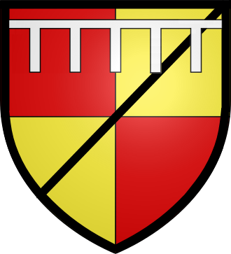
Henry de Lacy, Earl of Lincoln (c. 1251February 1311), Baron of Pontefract, Lord of Bowland, Baron of Halton and hereditary Constable of Chester, was an English nobleman and confidant of King Edward I. He served Edward in Wales, France, and Scotland, both as a soldier and a diplomat. Through his mother he was a great-grandson of Amadeus IV, Count of Savoy. He is the addressee, or joint composer, of a poem (a ''tenson'') by Walter of Bibbesworth about crusading, ''La pleinte par entre missire Henry de Lacy et sire Wauter de Bybelesworthe pur la croiserie en la terre seinte''. Origins Henry was the son and heir of Edmund de Lacy, Baron of Pontefract (c. 1230–1258) (eldest son and heir apparent of John de Lacy, Earl of Lincoln (c. 1192–1240) and his wife Margaret de Quincy suo jure Countess of Lincoln (c. 1206–1266)) by his wife Alice of Saluzzo, a Savoyard noblewoman descended from Amadeus IV, Count of Savoy. Inheritance Henry's father died in 1258 when he was a young ... [...More Info...] [...Related Items...] OR: [Wikipedia] [Google] [Baidu] |
Chase (land)
''Chase'' is a term used in the United Kingdom to define a type of land reserved for hunting use by its owner. Similarly, a ''Royal Chase'' is a type of Crown Estate by the same description, where the hunting rights are reserved for a member of the British Royal Family. The term ‘chase’ is also used in Australia to describe some national parks. Flinders Chase National Park is on Kangaroo Island in South Australia and Ku-ring-gai Chase National Park is in New South Wales. Rights and history The ''Victoria County History'' describes a chase as: "like a forest, uninclosed, and only defined by metes ouses and farmsteads withinand bounds ills, highways, watercourses etc but it could be held by a subject. Offences committed therein were, as a rule, punishable by the common law and not by forest jurisdiction." Chases are often identified by open clearings, soil type, and retaining additional heath rather than forests for hunting purposes. Chases faced mass enclosure by Pr ... [...More Info...] [...Related Items...] OR: [Wikipedia] [Google] [Baidu] |
Henry VII Of England
Henry VII (28 January 1457 – 21 April 1509) was King of England and Lord of Ireland from his seizure of the crown on 22 August 1485 until his death in 1509. He was the first monarch of the House of Tudor. Henry's mother, Margaret Beaufort, was a descendant of the Lancastrian branch of the House of Plantagenet. Henry's father, Edmund Tudor, 1st Earl of Richmond, a half-brother of Henry VI of England and a member of the Welsh Tudors of Penmynydd, died three months before his son Henry was born. During Henry's early years, his uncle Henry VI was fighting against Edward IV, a member of the Yorkist Plantagenet branch. After Edward retook the throne in 1471, Henry Tudor spent 14 years in exile in Brittany. He attained the throne when his forces, supported by France, Scotland, and Wales, defeated Edward IV's brother Richard III at the Battle of Bosworth Field, the culmination of the Wars of the Roses. He was the last king of England to win his throne on the field of battle. H ... [...More Info...] [...Related Items...] OR: [Wikipedia] [Google] [Baidu] |
Forest Of Rossendale
The Rossendale Valley is in the Rossendale area of Lancashire, England, between the West Pennine Moors and the main range of the Pennines. The area includes the steep-sided valleys of the River Irwell and its tributaries (between Rawtenstall and Bacup), which flow southwards into Greater Manchester. The rivers cut through the moorland of the Rossendale Hills, generally characterized by open unwooded land, despite the ancient designation of "forest". History One of the earliest sites of historical interest in the valley is that of the dykes at Broadclough, which are associated with the Battle of Brunanburh. In late Middle Ages, the valley was part of the Royal Forest of Rossendale. The original medieval meaning of 'forest' was similar to a ‘preserve’, for example land that is legally kept for specific purposes such as royal hunting. So ‘forests’ were areas large enough to support species such as wolves and deer for game hunting and they encompassed other habitats such as ... [...More Info...] [...Related Items...] OR: [Wikipedia] [Google] [Baidu] |
Accrington
Accrington is a town in the Hyndburn borough of Lancashire, England. It lies about east of Blackburn, west of Burnley, east of Preston, north of Manchester and is situated on the culverted River Hyndburn. Commonly abbreviated by locals to "Accy", the town has a population of 35,456 according to the 2011 census. Accrington is a former centre of the cotton and textile machinery industries. The town is famed for manufacturing the hardest and densest building bricks in the world, "The Accrington NORI" (iron), which were used in the construction of the Empire State Building and for the foundations of Blackpool Tower; famous for Accrington Stanley F.C. and the Haworth Art Gallery which holds Europe's largest collection of Tiffany glass. History Origin of the name The name Accrington appears to be Anglo-Saxon in origin. The earliest citing appears in the Parish of Whalley records of 850; where it is written ''Akeringastun''. In later records, the name variously appears as ''Ak ... [...More Info...] [...Related Items...] OR: [Wikipedia] [Google] [Baidu] |
