|
Florida State Road 856
State Road 856 (SR 856), also known as the William Lehman Causeway, is a causeway connecting Biscayne Boulevard (U.S. Route 1/ SR 5) in Aventura and Collins Avenue ( SR A1A) in Sunny Isles Beach, Florida. SR 856 is a limited access highway between the two termini. Pedestrians are prohibited, but (as part of a pilot project that also includes the Pineda Causeway) the shoulder is marked as a bike lane east of the Country Club Drives interchange (cyclists must exit here and use other roads to continue west).Miami's Community NewspapersLehman Causeway soon to welcome bike riders November 27, 2012 Route description SR 856 begins at US 1 at the southwest corner of Aventura Mall in Aventura, and heads east, lining the southern border of the mall. At the southeast section of the mall, it passes over West Country Club Drive, featuring a Texas U-turn going westbound to eastbound on the frontage road, NE 192nd Street. Following access to and from the frontage roa ... [...More Info...] [...Related Items...] OR: [Wikipedia] [Google] [Baidu] |
Aventura, Florida
Aventura is a planned, suburban city in northeastern Miami-Dade County, Florida, United States, 17 miles north of the city of Miami and part of the Miami metropolitan area. The city is especially well-known for Aventura Mall, the 5th largest mall in the United States by total square feet of retail space and the largest mall in Florida. The city name is from the Spanish word for "adventure", and was named "Aventura" after the developers of the original group of condominiums in the area, Eddie Lewis and Don Soffer, remarked "What an adventure this is going to be." According to the U.S. Census estimates of 2010, the city had a population of 35,762. [...More Info...] [...Related Items...] OR: [Wikipedia] [Google] [Baidu] |
Aventura Mall
Aventura Mall is a shopping mall located in Aventura, Florida. It is the 5th largest mall in the United States by total square feet of retail space and the largest mall in Florida. The anchor stores are Bloomingdale's, Nordstrom, 2 Macy's stores, and JCPenney. The center is highlighted by a mix of over 300 stores. Aventura Mall has more than 50 eateries and restaurants, including Treats Food Hall, and the experiential Arts Aventura Mall program. The Brightline Aventura Station, now under construction, will be located adjacent to Aventura Mall on West Dixie Highway and will include a new pedestrian bridge over Biscayne Boulevard, providing riders direct access to the mall. History In April 1983, the Oxford Development Company, led by partners Donald Soffer, Edward J. Lewis, Mark E. Mason, Eugene Lebowitz, and Ray Parello officially dedicated Aventura Mall. There would be four anchors in the original, , complex: Lord & Taylor, JCPenney (opened April 28, 1983), Sears (opened J ... [...More Info...] [...Related Items...] OR: [Wikipedia] [Google] [Baidu] |
Collins Avenue
Collins Avenue, partly co-signed State Road A1A, is a major thoroughfare in South Florida, United States. The road runs parallel to the Atlantic Ocean in Miami Beach, Florida, one block west. It also runs through the cities of Surfside and Sunny Isles Beach to the north. Collins Avenue was named for John S. Collins, a developer who, in 1913, completed Miami’s first bridge, Collins Bridge, connecting Miami Beach to the mainland across Biscayne Bay. Background Collins Avenue is home to many historic Art Deco hotels, and several nightclubs to the north. North of 41st Street this boulevard lies between the Atlantic Ocean and the Indian Creek, lined by palm trees, and famous hotels from the 1950s and 1960s such as the Eden Roc and the Morris Lapidus-designed Fontainebleau Hotel, built in the curvy, flamboyant Neo-baroque fashion that defined the 1950s "Miami Beach" resort hotel style. Significant events The annual Miami International Boat Show occurs on Collins Avenue ... [...More Info...] [...Related Items...] OR: [Wikipedia] [Google] [Baidu] |
Atlantic Intracoastal Waterway
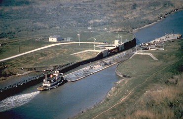
The Intracoastal Waterway (ICW) is a inland waterway along the Atlantic and Gulf of Mexico coasts of the United States, running from Massachusetts southward along the Atlantic Seaboard and around the southern tip of Florida, then following the Gulf Coast to Brownsville, Texas. Some sections of the waterway consist of natural inlets, saltwater rivers, bays, and sounds, while others are artificial canals. It provides a navigable route along its length without many of the hazards of travel on the open sea. Context and early history Since the coastline represented the national border, and commerce of the time was chiefly by water, the fledgling United States government established a degree of national control over it. Inland transportation to supply the coasting trade at the time was less known and virtually undeveloped, but when new lands and their favorable river systems were added with the Northwest Territory in 1787, the Northwest Ordinance established a radically new and fr ... [...More Info...] [...Related Items...] OR: [Wikipedia] [Google] [Baidu] |
Biscayne Boulevard
U.S. Highway 1 (US 1) in Florida runs along the state's east coast from Key West to its crossing of the St. Marys River (Florida/Georgia), St. Marys River into Georgia (U.S. state), Georgia north of Boulogne, Florida, Boulogne and south of Folkston, Georgia, Folkston. US 1 was designated through Florida when the United States Numbered Highway System, U.S. Numbered Highway System was established in 1926. The road is maintained by the Florida Department of Transportation (FDOT). From its national southern terminus in Key West, US 1 carries the Overseas Highway, which is the Keys' main highway, north to the Contiguous United States, mainland, entering South Florida. From South Florida to Jacksonville, US 1 runs close to the coastline of the Atlantic Ocean and the Intracoastal Waterway, generally east of Interstate 95 in Florida, Interstate 95 (I-95) and west of Florida State Road A1A, State Road A1A (SR A1A), running roughly parallel with both roads. North ... [...More Info...] [...Related Items...] OR: [Wikipedia] [Google] [Baidu] |
Intracoastal Waterway
The Intracoastal Waterway (ICW) is a inland waterway along the Atlantic and Gulf of Mexico coasts of the United States, running from Massachusetts southward along the Atlantic Seaboard and around the southern tip of Florida, then following the Gulf Coast to Brownsville, Texas. Some sections of the waterway consist of natural inlets, saltwater rivers, bays, and sounds, while others are artificial canals. It provides a navigable route along its length without many of the hazards of travel on the open sea. Context and early history Since the coastline represented the national border, and commerce of the time was chiefly by water, the fledgling United States government established a degree of national control over it. Inland transportation to supply the coasting trade at the time was less known and virtually undeveloped, but when new lands and their favorable river systems were added with the Northwest Territory in 1787, the Northwest Ordinance established a radically new and f ... [...More Info...] [...Related Items...] OR: [Wikipedia] [Google] [Baidu] |
Biscayne Bay
Biscayne Bay () is a lagoon with characteristics of an estuary located on the Atlantic coast of South Florida. The northern end of the lagoon is surrounded by the densely developed heart of the Miami metropolitan area while the southern end is largely undeveloped with a large portion of the lagoon included in Biscayne National Park. The part of the lagoon that is traditionally called "Biscayne Bay" is approximately long and up to wide, with a surface area of . Various definitions may include Dumfoundling Bay, Card Sound, and Barnes Sound in a larger "Biscayne Bay", which is long with a surface area of about . Etymology Hernando de Escalante Fontaneda related in the 16th century that a sailor from the Bay of Biscay called the ''Viscayno'' or ''Biscayno'' had lived on the lower east coast of Florida for a while after being shipwrecked, and a 17th-century map shows a ''Cayo de Biscainhos'', the probable origin of the name for Key Biscayne. The lagoon was known as "Key Biscayne B ... [...More Info...] [...Related Items...] OR: [Wikipedia] [Google] [Baidu] |
United States House Of Representatives
The United States House of Representatives, often referred to as the House of Representatives, the U.S. House, or simply the House, is the Lower house, lower chamber of the United States Congress, with the United States Senate, Senate being the Upper house, upper chamber. Together they comprise the national Bicameralism, bicameral legislature of the United States. The House's composition was established by Article One of the United States Constitution. The House is composed of representatives who, pursuant to the Uniform Congressional District Act, sit in single member List of United States congressional districts, congressional districts allocated to each U.S. state, state on a basis of population as measured by the United States Census, with each district having one representative, provided that each state is entitled to at least one. Since its inception in 1789, all representatives have been directly elected, although universal suffrage did not come to effect until after ... [...More Info...] [...Related Items...] OR: [Wikipedia] [Google] [Baidu] |
William Lehman (Florida Politician)
William M. Lehman (October 5, 1913 – March 16, 2005) was an American politician. He served in the United States Representative, representing Florida from 1973 until 1993. Early life Born in Selma, Alabama, Lehman graduated from Dallas Academy and Selma High School in 1930. He received a B.S. from the University of Alabama at Tuscaloosa in 1934 and attended Oxford University in 1965. He was an auto dealer and a teacher at Miami Norland Junior High School in Miami, Florida, in 1963–1964, while also working as an instructor at Miami-Dade Junior College in 1965–1966. Political career He was a member of the Miami-Dade County School Board from 1966 to 1972, and was elected as a Democrat to the Ninety-third and to the nine succeeding Congresses, serving from January 3, 1973, to January 3, 1993. He was not a candidate for renomination to the One Hundred Third Congress in 1992. Segments of the area the seat occupied were folded into a district currently served by Debbie Wasserm ... [...More Info...] [...Related Items...] OR: [Wikipedia] [Google] [Baidu] |
Texas U-turn
A Texas U-turn, or Texas turnaround, boomerang, or loop around, is a lane allowing cars traveling on one side of a one-way frontage road to U-turn onto the opposite frontage road (typically crossing over or under a freeway or expressway). Typically controlled by yield signs, these allow U-turning traffic to bypass two traffic signals and avoid crossing the local traffic twice. If the limited-access highway passes over the local road, the bridge (or bridges) must be longer, to span four directions of traffic and two sidewalks below. If the local road passes over the limited-access highway, the bridge must be wider, to carry four directions of traffic and two sidewalks over the highway. Usage Texas U-turns in the United States: * This highway configuration originated (and is particularly common) in the U.S. state of Texas, especially in the Austin, Dallas–Fort Worth, El Paso, Houston, and San Antonio metropolitan areas. * It is also common in Michigan, particularly in Detroit, ... [...More Info...] [...Related Items...] OR: [Wikipedia] [Google] [Baidu] |
Bike Lane
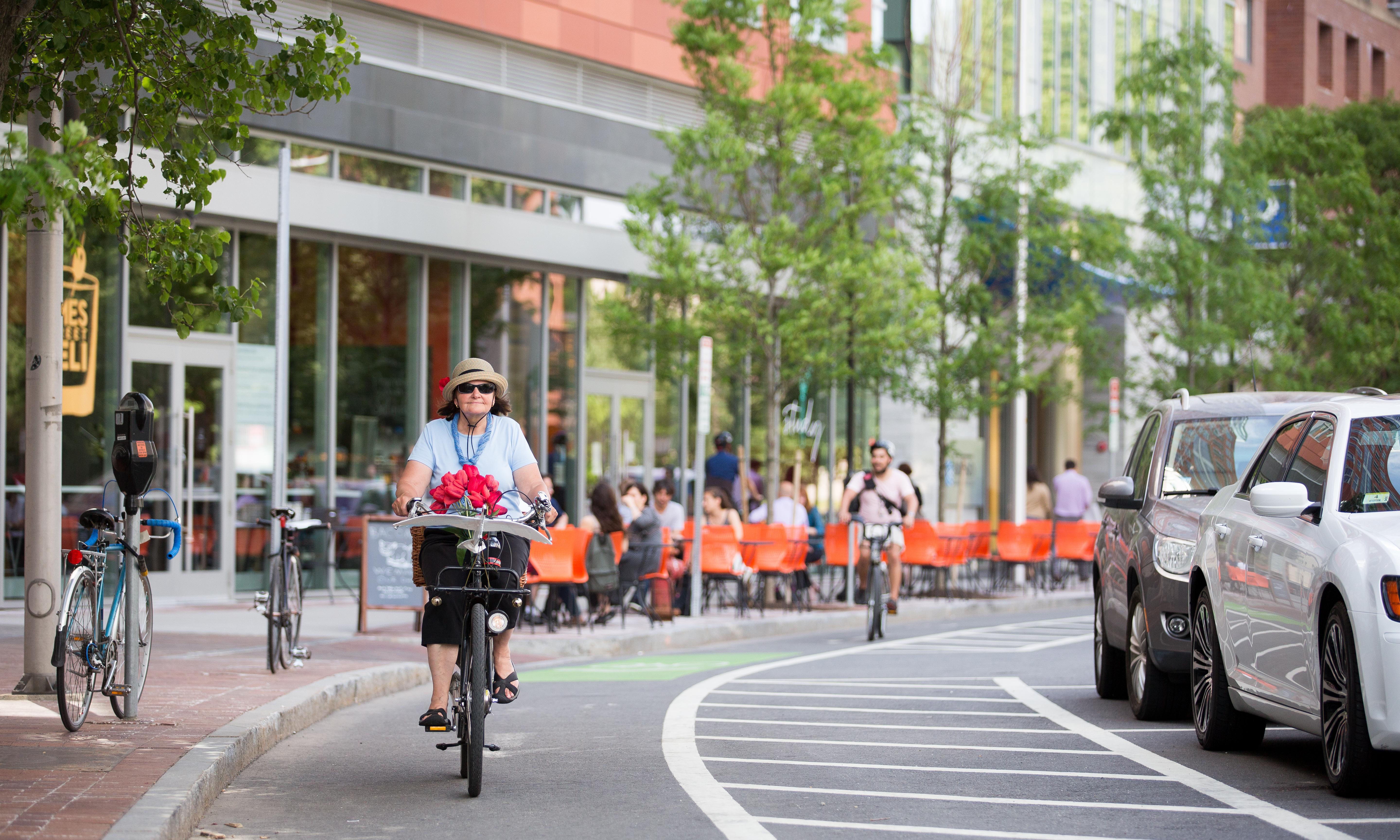
Bike lanes (US) or cycle lanes (UK) are types of bikeways (cycleways) with lanes on the roadway for cyclists only. In the United Kingdom, an on-road cycle-lane can be firmly restricted to cycles (marked with a solid white line, entry by motor vehicles is prohibited) or advisory (marked with a broken white line, entry by motor vehicles is permitted). In the United States, a ''designated bicycle lane'' (1988 MUTCD) or ''class II bikeway'' (Caltrans) is always marked by a solid white stripe on the pavement and is for 'preferential use' by bicyclists. There is also a ''class III bicycle route'', which has roadside signs suggesting a route for cyclists, and urging sharing the road. A ''class IV separated bike way'' (Caltrans) is a bike lane that is physically separate from motor traffic and restricted to bicyclists only. Effects According to a 2019 study, cities with separated bike lanes had 44% fewer road fatalities and 50% fewer serious injuries from crashes. The relationship w ... [...More Info...] [...Related Items...] OR: [Wikipedia] [Google] [Baidu] |
Sunny Isles Beach, Florida
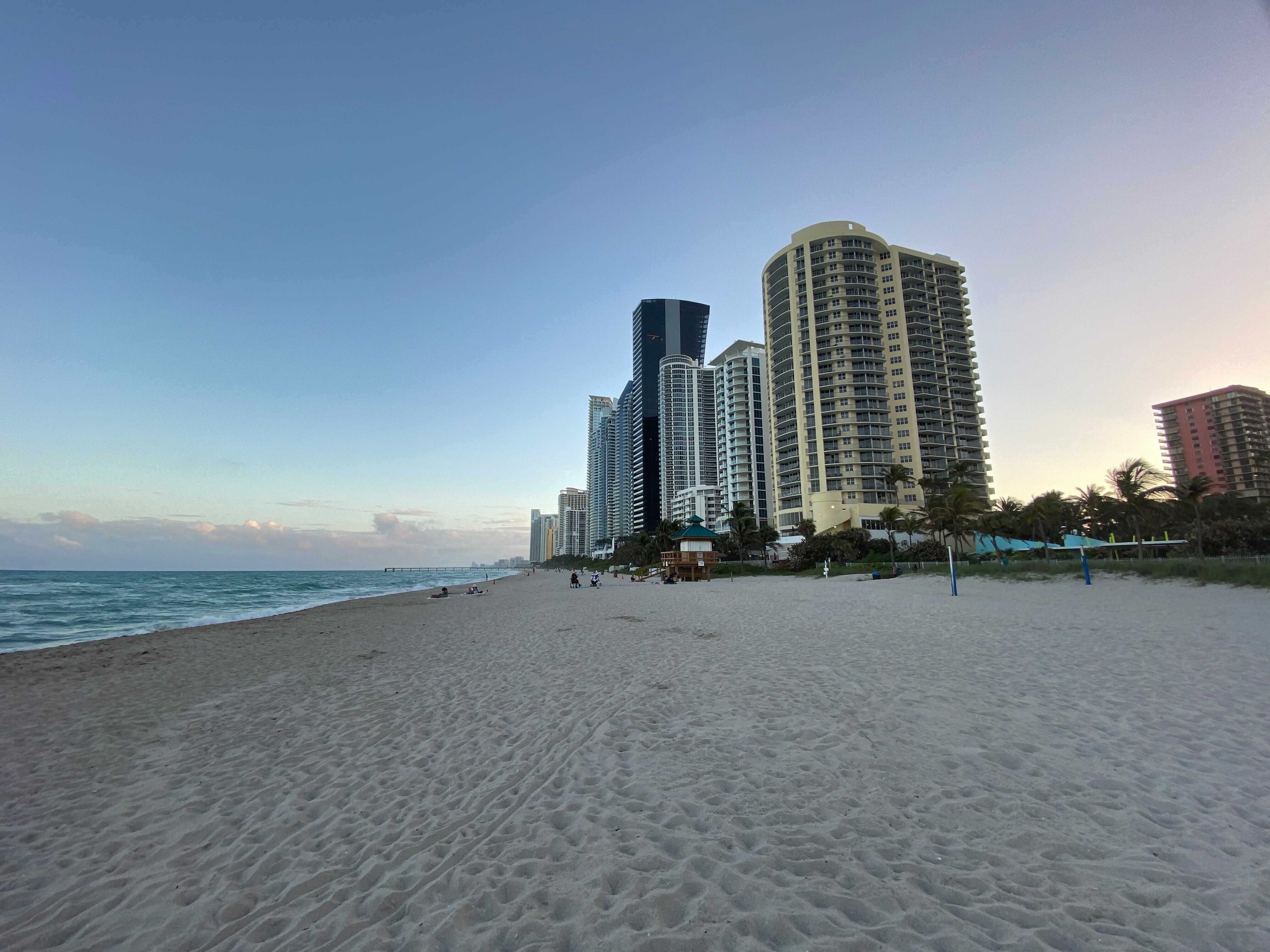
Sunny Isles Beach (SIB, officially the City of Sunny Isles Beach) is a city located on a barrier island in northeast Miami-Dade County, Florida, United States. The city is bounded by the Atlantic Ocean on the east and the Intracoastal Waterway on the west. Sunny Isles Beach is an area of cultural diversity with stores lining Collins Avenue, the main thoroughfare through the city. It is renowned for having the 14th tallest skyline in the United States despite its relatively low population. It is a growing resort area and developers like Michael Dezer have invested heavily in construction of high-rise hotels and condominiums while licensing the Donald Trump name for some of the buildings for promotional purposes. Sunny Isles Beach has a central location, minutes from Bal Harbour to the south, and Aventura to the north and west. Sunny Isles Beach was also the 2008 site of MTV's annual Spring Break celebration, with headquarters at the local Newport Beachside Resort. History In 1 ... [...More Info...] [...Related Items...] OR: [Wikipedia] [Google] [Baidu] |


