|
Florida State Road 849
State Road 849 (SR 849) is a state highway from the Florida's Turnpike access road connecting Martin Luther King Boulevard/Hammondville Road and Coconut Creek Parkway (Broward County Route 912) to the north and Atlantic Boulevard ( SR 814) to the south. State Road 849 lies entirely within the city limits of Pompano Beach, Florida. In addition, a campus of Broward Community College is situated to the west of the northern terminus of SR 849; and motorists can also use the Turnpike, SR 849, and SR 814 eastward to go to Pompano Beach Airpark. Route description State Road 849 begins at an intersection with State Road 814 (Atlantic Boulevard) in Pompano Beach, Florida. The route progresses northward along Atlantic Boulevard Extension as a four-lane arterial boulevard. The road makes a curve to the northeast after passing over a bridge, but soon turns northward once again, passing a short stretch of commercial businesses. The highway then inter ... [...More Info...] [...Related Items...] OR: [Wikipedia] [Google] [Baidu] |
FDOT
The Florida Department of Transportation (FDOT) is a decentralized agency charged with the establishment, maintenance, and regulation of public transportation in the state of Florida. The department was formed in 1969. It absorbed the powers of the State Road Department (SRD). The current Secretary of Transportation is Jared W. Perdue. History The State Road Department, the predecessor of today's Department of Transportation, was authorized in 1915 by the Florida Legislature. For the first two years of its existence, the department acted as an advisory body to the 52 counties in the state, helping to assemble maps and other information on roads. The Federal Aid Road Act of 1916, 1916 Bankhead Act passed by Congress expanded the department's responsibilities and gave it the authority to: establish a state and state-aid system of roads, engage in road construction and maintenance, acquire and own land, exercise the right of eminent domain, and accept federal or local funds for use ... [...More Info...] [...Related Items...] OR: [Wikipedia] [Google] [Baidu] |
Pompano Beach, Florida
Pompano Beach ( ) is a city in Broward County, Florida, United States. It is located along the coast of the Atlantic Ocean, just north of Fort Lauderdale. The nearby Hillsboro Inlet forms part of the Atlantic Intracoastal Waterway. As of the 2020 census, the city's population was 112,046. Located north of Miami, it is a principal city in the Miami–Fort Lauderdale–West Palm Beach metropolitan area, which was home to an estimated 6,158,824 people in 2017. Pompano Beach Airpark, located within the city, is the home of the Goodyear Blimp ''Spirit of Innovation''. History Its name is derived from the Florida Pompano (''Trachinotus carolinus''), a fish found off the Atlantic coast. There had been scattered settlers in the area since at least the mid-1880s, but the first documented permanent residents of the Pompano area were George Butler and Frank Sheen and their families, who arrived in 1896 as railway employees. The first train arrived in the small Pompano settlement on Feb ... [...More Info...] [...Related Items...] OR: [Wikipedia] [Google] [Baidu] |
Broward County, Florida
Broward County ( , ) is a county in the southeastern part of Florida, located in the Miami metropolitan area. It is Florida's second-most populous county after Miami-Dade County and the 17th-most populous in the United States, with over 1.94 million residents as of the 2020 census. Its county seat and largest city is Fort Lauderdale, which had a population of 182,760 as of 2020. Broward County is one of the three counties that make up the Miami metropolitan area, which was home to 6.14 million people in 2020. It is also one of the most ethnically diverse counties in the entire country. The county has 31 municipalities (including 24 incorporated cities) and many unincorporated areas. It's also Florida's seventh-largest county in terms of land area, with . Broward County's urbanized area occupies 427.8 square miles of land. The largest portion of the county is the Conservation Area that extends to the county's Western border. The conservation area is 796.9 square miles and con ... [...More Info...] [...Related Items...] OR: [Wikipedia] [Google] [Baidu] |
Florida's Turnpike
Florida's Turnpike, designated as unsigned State Road 91 (SR 91), is a toll road in the U.S. state of Florida, maintained by Florida's Turnpike Enterprise (FTE). Spanning approximately along a northwest–southeast axis, the turnpike is in two sections. The SR 91 mainline runs roughly , from its southern terminus at an interchange with Interstate 95 (I-95) in Miami Gardens to an interchange with I-75 in Wildwood at its northern terminus. The Homestead Extension of Florida's Turnpike (abbreviated HEFT and designated as unsigned SR 821) continues from the southern end of the mainline for another to US Highway 1 (US 1) in Florida City. The slogan for the road is "The Less Stressway". The mainline opened in stages between 1957 and 1964, while the extension was completed in 1974. The turnpike runs through Miami, Fort Lauderdale, and West Palm Beach, where it parallels I-95, and through Orlando, where it crosses I-4. Route description Miami to Ft. Pierce The main section of Florid ... [...More Info...] [...Related Items...] OR: [Wikipedia] [Google] [Baidu] |
Florida State Road 814
Atlantic Boulevard, consisting mostly of State Road 814 (SR 814), is a major commercial and commuter highway in northern Broward County, Florida. The divided highway extends from the Sawgrass Expressway in Coral Springs to State Road A1A in Pompano Beach. It serves as the latitudinal baseline for the street grid for the city of Pompano Beach. The portion of the boulevard west of U.S. Route 441 is locally maintained as County Road 814. Route description County Road 814 Atlantic Boulevard begins its eastward journey from the Sawgrass Expressway in Coral Springs. The road meanders through residential zones before it arrives at its intersection with University Drive, where Coral Square is located. Afterward, SR 814 borders the former CDP of Ramblewood East. Ramblewood Middle School is located there, from the SR 817 intersection. The road continues eastward, passing by apartment buildings and a golf course before its intersection with US 441 ( SR 7) in Margate. Conflictin ... [...More Info...] [...Related Items...] OR: [Wikipedia] [Google] [Baidu] |
Broward Community College
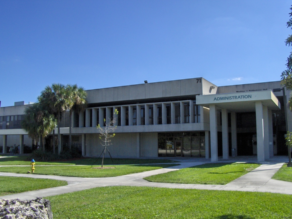
Broward College is a public college in Fort Lauderdale, Florida. It is part of the Florida College System. It was established in 1959 as part of a move to broaden Florida's two-year colleges. In 2008 it adopted its current name, reflecting that it is one of the schools designated a "state college", meaning it can offer four-year bachelor's degrees. History The institution was founded in 1959 as the Junior College of Broward County (JCBC). It opened its doors the following year under the leadership of President Joe B. Rushing, with a faculty of 28 serving a class of 701 students. Until the college's first permanent buildings were completed in 1963, students attended classes in the former Naval Air Station Junior High buildings on the western edge of the Fort Lauderdale-Hollywood International Airport. After helping JCBC through its formative years and onto firm footing, Rushing in 1965 announced he was returning to his home state of Texas to become founding president of Tarrant ... [...More Info...] [...Related Items...] OR: [Wikipedia] [Google] [Baidu] |
Pompano Beach Airpark
Pompano Beach Airpark is a public airport located one mile (1.6 km) northeast of the central business district of Pompano Beach, in Broward County, Florida, United States. This airport is publicly owned by the City of Pompano Beach. This airport is assigned a three-letter location identifier of PMP by the Federal Aviation Administration, but the International Air Transport Association (IATA) airport code is PPM (the IATA assigned PMP to Pimaga in Papua New Guinea). The International Civil Aviation Organization (ICAO) airport code is KPMP. History Pompano Beach Airport was constructed during World War II as an Naval outlying landing field (NOLF) for Naval Air Station Fort Lauderdale, what is now the Fort Lauderdale-Hollywood International Airport. On August 29, 1947, the City of Pompano Beach obtained the Airport under the Surplus Property Act of 1944 and renamed it Pompano Beach Air Park, due to its intent to limit the airport's usage to general aviation. For the same re ... [...More Info...] [...Related Items...] OR: [Wikipedia] [Google] [Baidu] |
Harness Racing
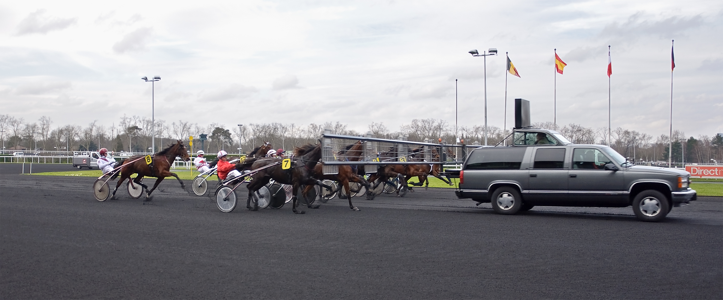
Harness racing is a form of horse racing in which the horses race at a specific gait (a trot or a pace). They usually pull a two-wheeled cart called a sulky, or spider, or chariot occupied by a driver. In Europe, and less frequently in Australia and New Zealand, races with jockeys riding directly on saddled trotters ( in French) are also conducted. Breeds In North America, harness races are restricted to Standardbred horses, although European racehorses may also be French Trotters or Russian Trotters, or have mixed ancestry with lineages from multiple breeds. Orlov Trotters race separately in Russia. The light cold-blooded Coldblood trotters and Finnhorses race separately in Finland, Norway and Sweden. Standardbreds are so named because in the early years of the Standardbred stud book, only horses who could trot or pace a mile in a ''standard'' time (or whose progeny could do so) of no more than 2 minutes, 30 seconds were admitted to the book. The horses have proportionally ... [...More Info...] [...Related Items...] OR: [Wikipedia] [Google] [Baidu] |
State Road 7 (Florida)
Florida State Road 7 (SR 7) is a major north–south artery in South Florida connecting U.S. Highway 41 (US 41; unsigned SR 90) in the Little Havana section of Miami with 60th Street in Loxahatchee. All but the northernmost (in and near Royal Palm Beach) is instead (or additionally) signed as US 441, and has been since 1950. Route description Miami-Dade The state road begins at US 41, which is also the national southern terminus of US 441. The road in Miami-Dade County is only signed as US 441, with no indication of SR 7 anywhere. It is labeled Northwest 2nd Avenue north of the Golden Glades Interchange and Northwest 7th Avenue from the interchange south to the Miami River, after which it continues another dozen blocks to US 41 as Northwest and Southwest 8th Avenues. Broward In Broward County, the road is only signed as US 441, but is indicated as "State Road 7" on green street signs when approaching the road from cross ... [...More Info...] [...Related Items...] OR: [Wikipedia] [Google] [Baidu] |
Atlantic Boulevard (Broward County)
Atlantic Boulevard, consisting mostly of State Road 814 (SR 814), is a major commercial and commuter highway in northern Broward County, Florida. The divided highway extends from the Sawgrass Expressway in Coral Springs to State Road A1A in Pompano Beach. It serves as the latitudinal baseline for the street grid for the city of Pompano Beach. The portion of the boulevard west of U.S. Route 441 is locally maintained as County Road 814. Route description County Road 814 Atlantic Boulevard begins its eastward journey from the Sawgrass Expressway in Coral Springs. The road meanders through residential zones before it arrives at its intersection with University Drive, where Coral Square is located. Afterward, SR 814 borders the former CDP of Ramblewood East. Ramblewood Middle School is located there, from the SR 817 intersection. The road continues eastward, passing by apartment buildings and a golf course before its intersection with US 441 ( SR 7) in Margate. Conflicting sig ... [...More Info...] [...Related Items...] OR: [Wikipedia] [Google] [Baidu] |

.jpg)

.jpg)
