|
Florida State Road 519
A commercial artery of central Brevard County, State Road 519 (SR 519) is a north–south highway extending from King Street ( SR 520) in Cocoa southward to Barnes Boulevard ( County Road 502) and an interchange with Interstate 95 ( SR 9) in Rockledge. It is locally known as Fiske Boulevard. North of King Street, Fiske Boulevard continues on to an intersection with Dixon Boulevard (CR 503), and ends further north within the Cocoa Hills residential subdivision. South of Barnes Boulevard, Fiske Boulevard becomes Stadium Parkway (also not a designated State or County Road), which serves Space Coast Stadium USSSA Space Coast Complex is a baseball stadium and 13 diamond multi-sports facility in Viera, Florida, owned by Brevard County, Florida. Under its original name, Space Coast Stadium, it served as the spring training facility for the Florida Marli ... in the Carl Barger Complex in Viera. The southern end of Stadium Parkway will eventually connect to the northern terminus of ... [...More Info...] [...Related Items...] OR: [Wikipedia] [Google] [Baidu] |
Rockledge, FL
Rockledge is the oldest city in Brevard County, Florida. The city's population was 24,926 at the 2010 United States Census, and is part of the Palm Bay−Melbourne− Titusville Metropolitan Statistical Area. History Rockledge was officially founded on August 7, 1887, making it the oldest incorporated municipality in Brevard County. The name Rockledge, attributed to Gardner S. Hardee, an early settler, comes from the many ledges of coquina rock that line the Indian River. Other sources refer to a man named Cephas Bailey Magruder, who built his home after settling in the area in 1876 near the Indian River. Magruder called his home "the rockledge home" and the name was eventually attributed to the whole town. It was originally referred to as Rock Ledge; the two-word name persisted through the 19th century. Early industry in the area was based on the citrus trade and accommodation for tourists traveling to South Florida via the Atlantic Intracoastal Waterway of the Indian Riv ... [...More Info...] [...Related Items...] OR: [Wikipedia] [Google] [Baidu] |
Cocoa, FL
Cocoa is a city in Brevard County, Florida. The population was 19,041 at the 2020 United States Census. It is part of the Palm Bay–Melbourne– Titusville Metropolitan Statistical Area. History Etymology Several stories circulate among Cocoa old timers as to how the town got its name. One story says that the mail used to come by river boat and was placed in an empty tin box labeled Baker's Cocoa. The box was nailed to a piling in the river next to downtown. Additionally, an early hotel in the area, located on the Indian River lagoon, was named Cocoa House. Another story speaks of an elderly African American woman who lived on the banks of the Indian River. She would supply hot cocoa to sailors traversing the Indian River. It was said, the sailors approaching her house would yell out "Cocoa! Cocoa!" alerting the woman that they were present and wanted the beverage. 19th Century In 1885, the S. F. Travis Hardware store opened. As of 2022, the business remains open. Cocoa ... [...More Info...] [...Related Items...] OR: [Wikipedia] [Google] [Baidu] |
Brevard County, Florida
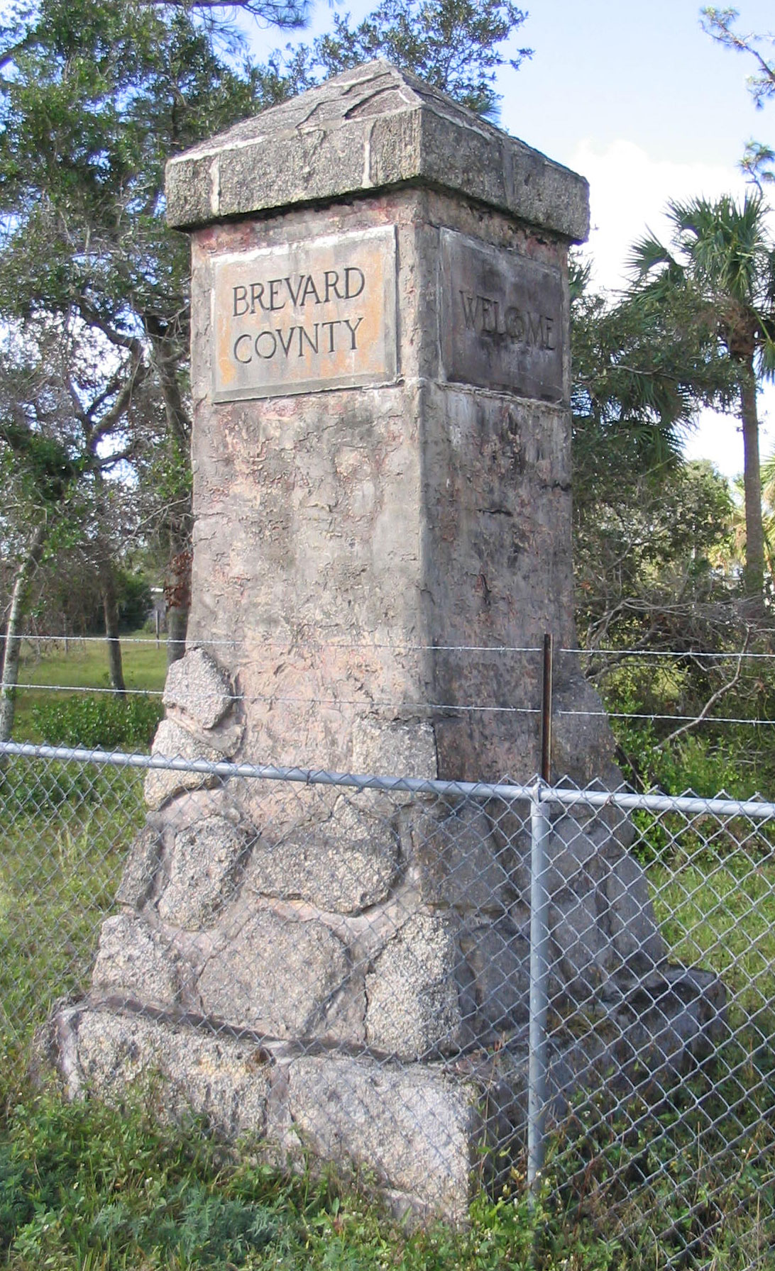
Brevard County ( ) is a county located in the east central portion of the U.S. state of Florida. As of the 2020 census, the population was 606,612, making it the 10th-most populated county in Florida. The official county seat is located in Titusville, Florida, Titusville. Brevard County comprises the Palm Bay, Florida, Palm Bay–Melbourne, Florida, Melbourne–Titusville, FL Metropolitan Statistical Area. It is located along the east Florida coast and bordered by the Atlantic Ocean. With an economy strongly influenced by the Kennedy Space Center, John F. Kennedy Space Center, Brevard County is also known as the Space Coast. As such, it was designated with the telephone area code 321, as in "Countdown#Rocketry, 3, 2, 1 liftoff". The county is named after Theodore W. Brevard, Theodore Washington Brevard, an early Florida settler and Florida Comptroller, state comptroller. A secondary center of county administrative offices was built beginning in 1989 in Viera, Florida, a maste ... [...More Info...] [...Related Items...] OR: [Wikipedia] [Google] [Baidu] |
State Road 520 (Florida)
State Road 520 (SR 520) is a east–west state highway in central Florida, United States, connecting with SR 50 in the Orlando area with SR A1A in Cocoa Beach. Route description It runs from SR 50 in Orange County east of Bithlo, southeast across the Beachline Expressway ( SR 528). It intersects with County Road 532 (CR 532) before crossing the St. Johns River into Brevard County. In that county it intersects SR 524 (the original approach to the Bennett Causeway) and SR 9 (Interstate 95, I-95), before entering Cocoa and intersecting SR 501, SR 519 and SR 5 (U.S. Route 1, US 1). In Cocoa, SR 520 is known as King Street. It then heads onto the Merritt Island Causeway, a series of bridges crossing the Indian River, Newfound Harbor and the Banana River. Between the Indian River and Newfound Harbor, it crosses through Merritt Island, intersecting SR 3. East of the Banana River, SR 520 runs ... [...More Info...] [...Related Items...] OR: [Wikipedia] [Google] [Baidu] |
Cocoa, Florida
Cocoa is a city in Brevard County, Florida, Brevard County, Florida. The population was 19,041 at the 2020 United States Census. It is part of the Palm Bay, Florida, Palm Bay–Melbourne, Florida, Melbourne–Titusville, Florida, Titusville Palm Bay-Melbourne-Titusville, Florida Metropolitan Statistical Area, Metropolitan Statistical Area. History Etymology Several stories circulate among Cocoa old timers as to how the town got its name. One story says that the mail used to come by river boat and was placed in an empty tin box labeled Baker's Cocoa. The box was nailed to a piling in the river next to downtown. Additionally, an early hotel in the area, located on the Indian River lagoon, was named Cocoa House. Another story speaks of an elderly African American woman who lived on the banks of the Indian River. She would supply hot cocoa to sailors traversing the Indian River. It was said, the sailors approaching her house would yell out "Cocoa! Cocoa!" alerting the woman th ... [...More Info...] [...Related Items...] OR: [Wikipedia] [Google] [Baidu] |
County Road 502 (Brevard County, Florida)
Brevard County, Florida (located in the East of Central Florida), operates a system of county roads that serve all portions of the county. The Brevard County Public Works Department, Road and Bridge Division, is responsible for maintaining all of the Brevard County roads. Most of the county roads are city streets and rural roads. The numbers and routes of all Florida highways are assigned by the Florida Department of Transportation (FDOT), while county road numbers are assigned by the counties, with guidance from FDOT. North-south routes are generally assigned odd numbers, while east-west routes are generally assigned even numbers. CR 3 CR 3 (former SR 3General Highway Map, Brevard County, March 1966, reprinted April/January 1972sheet 1ansheet 2/ref>) is a north–south highway. It begins at an intersection with SR 513 in Indian Harbor Beach and ends at an intersection with SR 520 in Merritt Island, Florida. For the first five miles the route is extremely n ... [...More Info...] [...Related Items...] OR: [Wikipedia] [Google] [Baidu] |
Interstate 95 In Florida
Interstate 95 (I-95) is the main Interstate Highway of Florida's Atlantic Coast. It begins at a partial interchange with U.S. Highway 1 (US 1) just south of downtown Miami, and heads north past Daytona Beach, through Jacksonville, and to the Georgia state line at the St. Marys River near Becker. The route also passes through the cities of Fort Lauderdale, West Palm Beach, and Titusville. Interstate 95 runs for , making Florida's portion the longest of any state the interstate passes through. The southernmost , from Exit 1 to Exit 87B, is known as the Miami Memorial Metropolitan (MMM) Expressway. The other of which are unsigned as State Road 9A, and the remainder being the unsigned portion of State Road 9. Route description I-95 begins its northward journey at U.S. Route 1 near 32nd Road and the Vizcaya Metrorail Station in southern Miami. It quickly interchanges with the Rickenbacker Causeway via the short unsigned SR 913, and then heads north into downtown. The ... [...More Info...] [...Related Items...] OR: [Wikipedia] [Google] [Baidu] |
State Road 9 (Florida)
Florida State Road 9 (SR 9) is a state road in the U.S. state of Florida. While SR 9 is mainly used as a state designation for Interstate 95 in Florida from the Golden Glades Interchange in Miami Gardens to the Georgia border (near Yulee, Florida), a signed SR 9, which is locally known in the Miami area as West 27th Avenue, Unity Boulevard, and historically Grapeland Boulevard, extends from the Coconut Grove section of Miami to the Golden Glades Interchange (where the unsigned portion continues northward along I-95). The segment of I-95 south of the Golden Glades Interchange carries the designation of State Road 9A. Route description Southwest 27th Avenue begins locally at Bayshore Drive in the Coconut Grove neighborhood in Miami. The road heads north until it intersects Dixie Highway ( US 1). SR 9 begins at this intersection, located between the Coral Way and Coconut Grove neighborhoods. SR 9 then makes its way north, cutting through all three su ... [...More Info...] [...Related Items...] OR: [Wikipedia] [Google] [Baidu] |
Rockledge, Florida
Rockledge is the oldest city in Brevard County, Florida. The city's population was 24,926 at the 2010 United States Census, and is part of the Palm Bay−Melbourne− Titusville Metropolitan Statistical Area. History Rockledge was officially founded on August 7, 1887, making it the oldest incorporated municipality in Brevard County. The name Rockledge, attributed to Gardner S. Hardee, an early settler, comes from the many ledges of coquina rock that line the Indian River. Other sources refer to a man named Cephas Bailey Magruder, who built his home after settling in the area in 1876 near the Indian River. Magruder called his home "the rockledge home" and the name was eventually attributed to the whole town. It was originally referred to as Rock Ledge; the two-word name persisted through the 19th century. Early industry in the area was based on the citrus trade and accommodation for tourists traveling to South Florida via the Atlantic Intracoastal Waterway of the Indian R ... [...More Info...] [...Related Items...] OR: [Wikipedia] [Google] [Baidu] |
Space Coast Stadium
USSSA Space Coast Complex is a baseball stadium and 13 diamond multi-sports facility in Viera, Florida, owned by Brevard County, Florida. Under its original name, Space Coast Stadium, it served as the spring training facility for the Florida Marlins (1994–2002), Montreal Expos (2003–2004), and Washington Nationals (2005–2016) and as the home field of the Brevard County Manatees (1994–2016). After a full year of renovations, it officially reopened in 2017 with its new name as a baseball/softball venue – part of a new multi-sport complex operated by the United States Specialty Sports Association (USSSA). Since 2017, it has been the home field of the USSSA Pride women's professional fast-pitch softball team. History Construction and opening Space Coast Stadium was completed before the 1994 Major League Baseball season as part of a plan to bring the Florida Marlins to Viera for spring training. Ground was broken for the new stadium in what had been a pasture on April 29, 199 ... [...More Info...] [...Related Items...] OR: [Wikipedia] [Google] [Baidu] |
Viera, Florida
Viera (pronounced /vjɛrə/) is an affluent, master-planned community located in the central coastal region of Brevard County, Florida. It is part of an unincorporated section adjacent to the Melbourne, Florida area. For census purposes, it is divided between the Census Designated Places of Viera East and Viera West. At the 2020 census, Viera East had a population of 11,687, while Viera West had a population of 16,688. Geography The Viera area borders along Interstate 95 starting at exit 195 and extending south of Florida road 404. It encompasses . About half of this has been set aside for conservation. Neighborhoods The community consists of 76 neighborhoods in two specific areas named Viera East (38) and Viera West (38). Included are five active adult communities/55+, Brennity at Melbourne, Bridgewater at Viera, Viera Manor and Heritage Isle, Grand Isle, along with a military retirement community, Indian River Colony Club. Viera East The neighborhood communities of Vier ... [...More Info...] [...Related Items...] OR: [Wikipedia] [Google] [Baidu] |

.jpg)


