|
Fishnish
Fishnish ( gd, Finnsinis) is a ferry terminal on the Isle of Mull, roughly halfway between Tobermory and Craignure. It is owned and operated by Caledonian MacBrayne. It is served by the ferry that crosses the Sound of Mull to and from Lochaline Lochaline ( gd, Loch Àlainn) is the main village in the Morvern area of Highland, Scotland. The coastal village is situated at the mouth of Loch Aline, on the northern shore of the Sound of Mull. A ferry operates regularly over to Fishnish .... It consists of a slipway sticking out into the Sound of Mull with a vehicle queuing area stretching back onto the road, a car park next to the slipway, and a small café next to the slipway with public toilets and an electronic display showing ferry times and other information. There is a forest open to the public for walks in and around Fishnish. Beside the current Fishnish is Ceadha Leth Torcail (Gaelic for "the pier of Torquil's half-share", an historic cattle harbour). Footnotes ... [...More Info...] [...Related Items...] OR: [Wikipedia] [Google] [Baidu] |
Lochaline
Lochaline ( gd, Loch Àlainn) is the main village in the Morvern area of Highland, Scotland. The coastal village is situated at the mouth of Loch Aline, on the northern shore of the Sound of Mull. A ferry operates regularly over to Fishnish on the Isle of Mull. Population The current population of Lochaline is around 200 people. In 1930, some Gaelic-speaking residents of the archipelago of St Kilda were evacuated by Williamina Barclay and relocated to Lochaline. Many of them lived and settled in Lochaline, although with some difficulty. Transport A regular ferry operated by Caledonian MacBrayne runs over to Fishnish on the Isle of Mull. The ferry takes only about 20 minutes, runs multiple times a day, and day trips from Lochaline are possible. A snack bar by the pier is opened daily, offering hot and cold take-away snacks and beverages for the journey. There is also an infrequent bus service, 507, operated by Shiel Buses - this runs Tuesdays and Thursdays to For ... [...More Info...] [...Related Items...] OR: [Wikipedia] [Google] [Baidu] |
Isle Of Mull
The Isle of Mull ( gd, An t-Eilean Muileach ) or just Mull (; gd, Muile, links=no ) is the second-largest island of the Inner Hebrides (after Skye) and lies off the west coast of Scotland in the council area of Argyll and Bute. Covering , Mull is the fourth-largest island in Scotland and Great Britain. From 2001 to 2020, the population has gradually increased: during 2020 the populace was estimated to be 3,000, in the 2011 census it was approximately 2,800, and in 2001, it was measured at 2,667 people. It has the eighth largest Island population in Scotland. In the summer, these numbers are augmented by an influx of many tourists. Much of the year-round population lives in the colourful main settlement of Tobermory. There are two distilleries on the island: the Tobermory distillery, formerly named Ledaig, produces single malt Scotch whisky and another, opened in 2019 and located in the vicinity of Tiroran, which produces Whitetail Gin. Mull is host to numerous sport ... [...More Info...] [...Related Items...] OR: [Wikipedia] [Google] [Baidu] |
Argyll And Bute
Argyll and Bute ( sco, Argyll an Buit; gd, Earra-Ghàidheal agus Bòd, ) is one of 32 unitary authority council areas in Scotland and a lieutenancy area. The current lord-lieutenant for Argyll and Bute is Jane Margaret MacLeod (14 July 2020). The administrative centre for the council area is in Lochgilphead at Kilmory Castle, a 19th-century Gothic Revival building and estate. The current council leader is Robin Currie, a councillor for Kintyre and the Islands. Description Argyll and Bute covers the second-largest administrative area of any Scottish council. The council area adjoins those of Highland, Perth and Kinross, Stirling and West Dunbartonshire. Its border runs through Loch Lomond. The present council area was created in 1996, when it was carved out of the Strathclyde region, which was a two-tier local government region of 19 districts, created in 1975. Argyll and Bute merged the existing Argyll and Bute district and one ward of the Dumbarton district. ... [...More Info...] [...Related Items...] OR: [Wikipedia] [Google] [Baidu] |
Sound Of Mull
The Sound of Mull is a sound between the Inner Hebridean island of Mull and mainland Scotland. It forms part of the Atlantic Ocean. The Sound of Mull Project is a Scottish Sustainable Marine Environment Initiative (SSMEI) spatial plan of Argyll and Bute Council which sets out details on the marine, environmental and coastal activities in the Sound. The largest settlement on the Sound is Tobermory on Mull, which lies near the northern entrance of the Sound. Transport There are several ferry routes that use the Sound, most of which originate from Oban. These include the ferry between Oban and Craignure, the main ferry port on Mull, whose main pier was built in 1964. Other ferry routes across the Sound include Tobermory to Kilchoan and Fishnish to Lochaline. Wrecks The Sound has long been used for navigation, linking ports such as Oban and Tobermory with the Atlantic. As such, there are a number of wrecks in the Sound. The SS Thesis was a cargo steamship which was wrecked in ... [...More Info...] [...Related Items...] OR: [Wikipedia] [Google] [Baidu] |
Tobermory, Mull
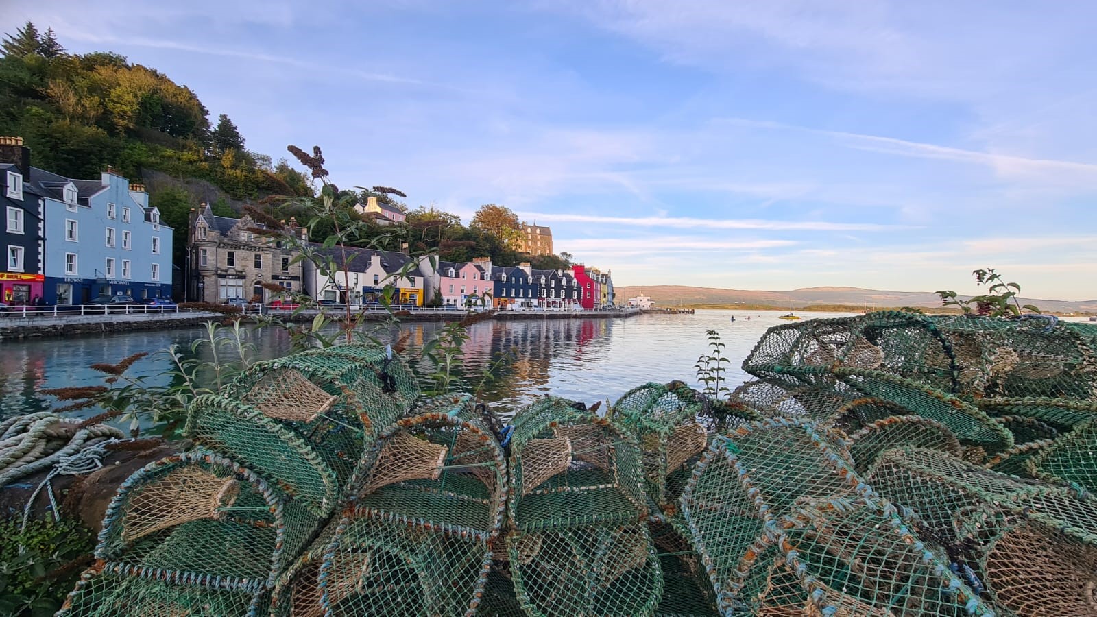
Tobermory (; gd, Tobar Mhoire) is the capital of, and until 1973 the only burgh on, the Isle of Mull in the Scottish Inner Hebrides. It is located on the east coast of Mishnish, the most northerly part of the island, near the northern entrance of the Sound of Mull. The village was founded as a fishing port in 1788; its layout was based on the designs of Dumfriesshire engineer Thomas Telford. It has a current population of about 1,000. Etymology The name ''Tobermory'' is derived from the Gaelic ', meaning "Mary's well". The name refers to a well located nearby which was dedicated in ancient times to the Virgin Mary. Prehistory and archaeology Archaeological Excavations have taken place at Baliscate just outside of the town. The site was first noted by Hylda Marsh and Beverley Langhorn as part of the Scotland's Rural Past. In 2009, it was partially excavated Time Team and a further longer excavation took place in 2012 as part of a community archaeology project through the ... [...More Info...] [...Related Items...] OR: [Wikipedia] [Google] [Baidu] |
Caledonian MacBrayne
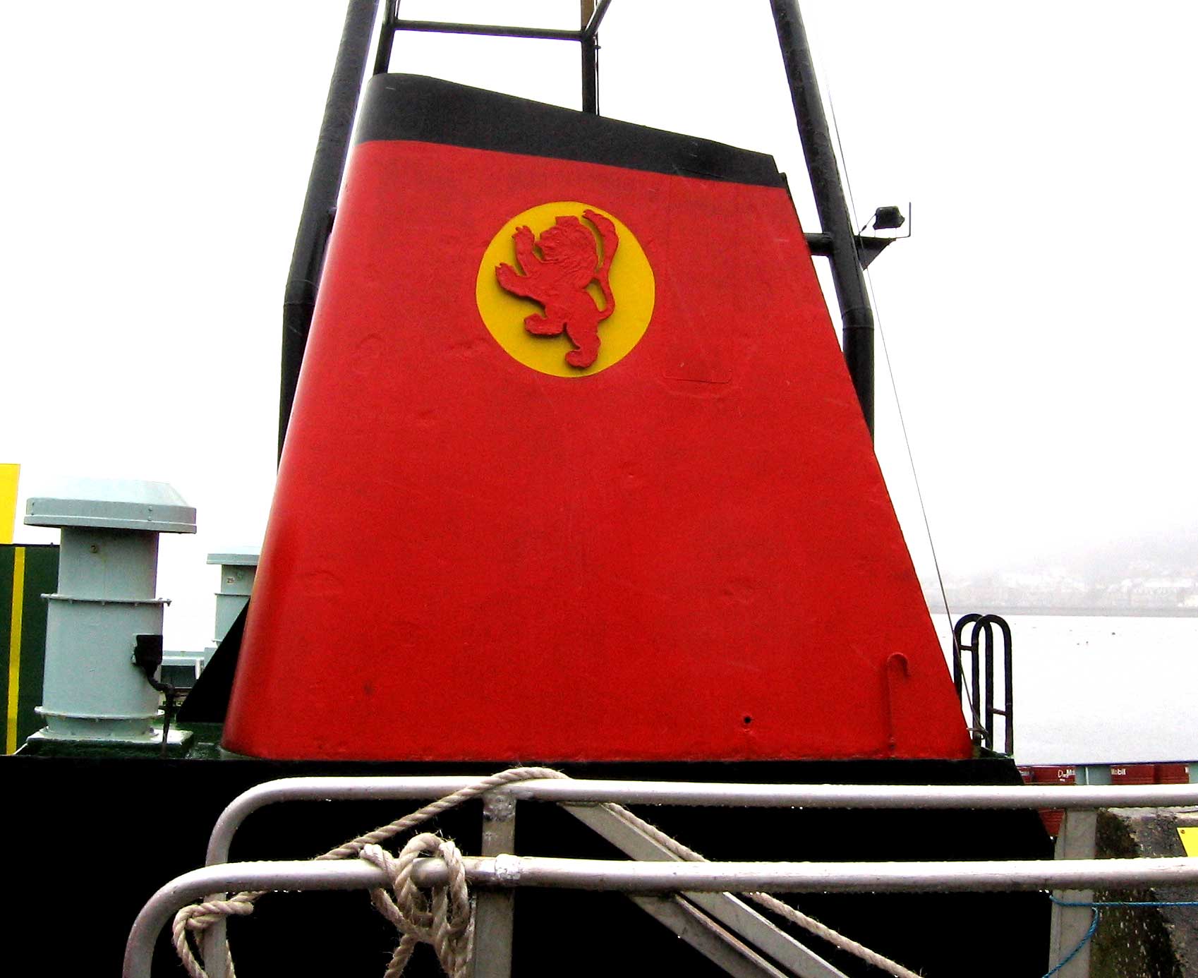
Caledonian MacBrayne ( gd, Caledonian Mac a' Bhriuthainn), usually shortened to CalMac, is the major operator of passenger and vehicle ferries, and ferry services, between the mainland of Scotland and 22 of the major islands on Scotland's west coast. Since 2006, the company's official name has been CalMac Ferries Ltd, although it still operates as Caledonian MacBrayne. In 2006, it also became a subsidiary of holding company David MacBrayne, which is owned by the Scottish Government. History David MacBrayne MacBrayne's, initially known as David Hutcheson & Co., began in 1851 as a private steamship operator when G. and J. Burns, operators of the largest of the Clyde fleets, decided to concentrate on coastal and transatlantic services and handed control of their river and Highland steamers to a new company in which Hutcheson, their manager of these services, became senior partner. One of the other partners was David MacBrayne (1817-1907), nephew of Messrs. Burns. In 1878, th ... [...More Info...] [...Related Items...] OR: [Wikipedia] [Google] [Baidu] |
Craignure
Craignure (; gd, Creag an Iubhair) is a village and the main ferry port on the Isle of Mull, Argyll and Bute, Scotland. The village is within the parish of Torosay. Geography The village is located around Craignure Bay, on Mull's east coast. It has a population of roughly 200 people. Close to the village are two castles: Torosay and Duart. Transport Ferry A regular ferry service connects Craignure with mainland Scotland via the Sound of Mull. The original pier, on the south side of the bay, was built in 1894. The present pier, on the west side of the bay, was built in 1964. Ferries run every two hours (3 to 5 times per day during the winter, & up to 10 times per day during the summer) between Craignure and Oban (on the mainland) by CalMac. Road Craignure is situated on the A849, an indirect route between Salen and Fionnphort. The village is served by buses to Fionnphort and Tobermory. Railway Craignure railway station was on the now closed narrow gauge Isle ... [...More Info...] [...Related Items...] OR: [Wikipedia] [Google] [Baidu] |
Gazetteer For Scotland
The ''Gazetteer for Scotland'' is a gazetteer covering the geography, history and people of Scotland. It was conceived in 1995 by Bruce Gittings of the University of Edinburgh and David Munro of the Royal Scottish Geographical Society, and contains 25,870 entries as of July 2019. It claims to be "the largest dedicated Scottish resource created for the web". The Gazetteer for Scotland provides a carefully researched and editorially validated resource widely used by students, researchers, tourists and family historians with interests in Scotland. Following on from a strong Scottish tradition of geographical publishing, the ''Gazetteer for Scotland'' is the first comprehensive gazetteer to be produced for the country since Francis Groome's '' Ordnance Gazetteer of Scotland'' (1882-6) (the text of which is incorporated into relevant entries). The aim is not to produce a travel guide, of which there are many, but to write a substantive and thoroughly edited description of the ... [...More Info...] [...Related Items...] OR: [Wikipedia] [Google] [Baidu] |
Buildings And Structures On The Isle Of Mull
A building, or edifice, is an enclosed structure with a roof and walls standing more or less permanently in one place, such as a house or factory (although there's also portable buildings). Buildings come in a variety of sizes, shapes, and functions, and have been adapted throughout history for a wide number of factors, from building materials available, to weather conditions, land prices, ground conditions, specific uses, prestige, and aesthetic reasons. To better understand the term ''building'' compare the list of nonbuilding structures. Buildings serve several societal needs – primarily as shelter from weather, security, living space, privacy, to store belongings, and to comfortably live and work. A building as a shelter represents a physical division of the human habitat (a place of comfort and safety) and the ''outside'' (a place that at times may be harsh and harmful). Ever since the first cave paintings, buildings have also become objects or canvasses of much artisti ... [...More Info...] [...Related Items...] OR: [Wikipedia] [Google] [Baidu] |


