|
Ferrera
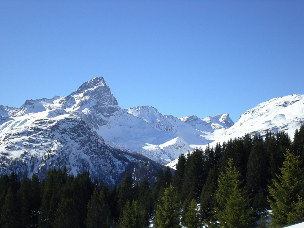
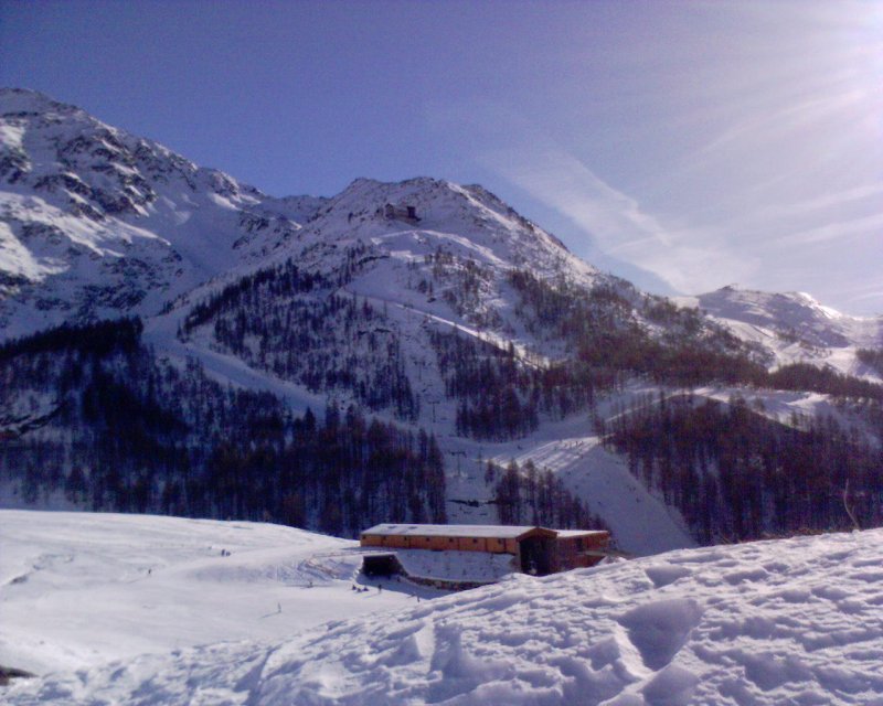
Ferrera is a municipality in the Viamala Region in the Grisons, Switzerland ). Swiss law does not designate a ''capital'' as such, but the federal parliament and government are installed in Bern, while other federal institutions, such as the federal courts, are in other cities (Bellinzona, Lausanne, Luzern, Neuchâtel .... It was formed on 1 January 2008 through the merger of Innerferrera and Ausserferrera. Geographically, it covers the entire Ferrera valley. Historical population The combined historical population of the two municipalities is given in the following table: : Population increase due to construction of the dam at Valle di Lei Languages Weather Innerferrera village in Ferrera has an average of 118.2 days of rain per year and on average receives of precipitation. The wettest month is August during which time Innerferrera receives an average of of precipitation. During this month there is precipitation for an average of 12.2 days. The month ... [...More Info...] [...Related Items...] OR: [Wikipedia] [Google] [Baidu] |
Val Ferrera
The Ferrera Valley ( rm, Val Ferrera, german: Ferreratal) is a valley in the Swiss canton of Graubünden between Schams and Avers. It is 10 km long and is drained by the Avers Rhine. The only villages in the valley are Innerferrera and Ausserferrera. Administratively, the municipality of Ferrera coincides with the valley. In the Early Modern period, the Ferrera Valley was known for its iron ore. The mining industry provided its inhabitants with a livelihood. The ''Schmelzra'' mine at the entrance of the valley, is now an industrial heritage site and has since 1972 been in the care of the cultural heritage management of the Canton of Graubünden. Until the 20th century, a linguistic border separated the valley from Avers: in the Avers valley, people spoke a Walser German dialect, in the Ferrera Valley, people spoke Romansh. In both valleys, the dominant religion is the Swiss Reformed Church The Protestant Church in Switzerland (PCS), (EKS); french: Église évangéliqu ... [...More Info...] [...Related Items...] OR: [Wikipedia] [Google] [Baidu] |
Ausserferrera
Ausserferrera ( rm, Farera) is a village in Hinterrhein District in the Swiss Canton of Graubünden. An independent municipality before, it merged on January 1, 2008 with neighboring Innerferrera to form the municipality of Ferrera. History Ausserferrera is first mentioned in the middle 12th century as ''Farreira''. In 1837 it separated from Innerferrera to become an independent municipality. Geography Ausserferrera has an area, , of . Of this area, 29.3% is used for agricultural purposes, while 20.4% is forested. Of the rest of the land, 0.5% is settled (buildings or roads) and the remainder (49.7%) is non-productive (rivers, glaciers or mountains). The municipality is located in the Schams sub-district, of the Hinterrhein district. It is located on the Averser branch of the Rhein. It consists of the ''haufendorf'' (an irregular, unplanned and quite closely packed village, built around a central square) of Ausserferrera. In 2008 Ausserferrera merged with Innerferrera to fo ... [...More Info...] [...Related Items...] OR: [Wikipedia] [Google] [Baidu] |
Innerferrera
Innerferrera ( rm, Calantgil) is a village in the district of Hinterrhein in the Swiss canton of Graubünden. Previously an independent municipality, it merged on January 1, 2008 with neighboring Ausserferrera to form the municipality of Ferrera. History Innerferrera is first mentioned in 1556 as ''Canicül''. Geography Innerferrera has an area, , of . Of this, 22.9% is used for agricultural purposes, 11.7% is forested, 0.4% is settled (buildings or roads), and the remainder (65%) is non-productive (rivers, glaciers or mountains). The municipality is located in the Schams sub-district, of the Hinterrhein district. It is a ''haufendorf'' (an irregular, unplanned and quite closely packed village, built around a central square) on the Averser branch of the Rhine. In 2008 Innerferrera merged with Ausserferrera to form Ferrera. [...More Info...] [...Related Items...] OR: [Wikipedia] [Google] [Baidu] |
Viamala Region
Viamala Region is one of the eleven administrative districts in the canton of Graubünden in Switzerland. It had an area of and a population of (as of ).. It was created on 1 January 2017 as part of a reorganization of the Canton. Mergers * On 1 January 2018 the former municipality of Mutten merged into the municipality of Thusis. * On 1 January 2019 the former municipalities of Hinterrhein, Nufenen and Splügen merged into the new municipality of Rheinwald The Rheinwald (from Latin ''Rheni vallis'' meaning "Rhine Valley"; Romansh: ''Valrain'') is a valley in the Canton of Grisons in Switzerland, the first section of the Hinterrhein valley. The river Hinterrhein flows through three valleys in the .... * On 1 January 2021 the former municipalities of Casti-Wergenstein, Donat, Lohn and Mathon merged to form the new municipality of Muntogna da Schons. References {{coord, 46.66, N, 9.45, E, region:CH, display=title Regions of Graubünden ... [...More Info...] [...Related Items...] OR: [Wikipedia] [Google] [Baidu] |
Pignia
Pignia is former a municipality in the district of Hinterrhein in the Swiss canton of Graubünden. On 1 January 2009, it was annexed by Andeer Andeer () is a municipality in the Viamala Region in the Swiss canton of Graubünden. In 2009 Clugin and Pignia merged into Andeer.Romansh-speaking minority. References External links Official Web site * * Andeer [...More Info...] [...Related Items...] OR: [Wikipedia] [Google] [Baidu] |
Sufers
Sufers ( Romansh: ''Sur'') is a municipality in the Viamala Region in the Swiss canton of Graubünden. History Sufers is first mentioned in 831 as ''Subere''. Geography Sufers has an area, , of . Of this area, 13.4% is used for agricultural purposes, while 23.8% is forested. Of the rest of the land, 1.2% is settled (buildings or roads) and the remainder (61.6%) is non-productive (rivers, glaciers or mountains). Before 2017, the municipality was located in the Rheinwald sub-district, of the Hinterrhein district, after 2017 it was part of the Viamala Region. accessed 16 February 2017 It is a '' [...More Info...] [...Related Items...] OR: [Wikipedia] [Google] [Baidu] |
Riom-Parsonz
Riom-Parsonz is a former municipality in the Sursés in the district of Albula in the canton of Graubünden in Switzerland. It was created from the 1979 union of the villages of ''Riom'' and ''Parsonz''. On 1 January 2016 the former municipalities of Bivio, Cunter, Marmorera, Mulegns, Riom-Parsonz, Salouf, Savognin, Sur and Tinizong-Rona merged to form the new municipality of Surses.Amtliches Gemeindeverzeichnis der Schweiz published by the Swiss Federal Statistical Office accessed 27 April 2016 History  Riom-Parsonz was created from the 1979 union of the municipa ...
[...More Info...] [...Related Items...] OR: [Wikipedia] [Google] [Baidu] |
Salouf
Salouf (until 1943 officially called Salux) is a village and former municipality in the Sursés in the district of Albula in the canton of Graubünden in Switzerland. On 1 January 2016 the former municipalities of Bivio, Cunter, Marmorera, Mulegns, Riom-Parsonz, Salouf, Savognin, Sur and Tinizong-Rona merged to form the new municipality of Surses.Amtliches Gemeindeverzeichnis der Schweiz published by the Swiss Federal Statistical Office accessed 27 April 2016 The population is predominantly Romansh-speaking. Coat of arms Salouf's |
Piuro
Piuro (''Piür'' in the local dialect) is a ''comune'' (municipality) in the Province of Sondrio in the Italian region Lombardy, located about north of Milan and about northwest of Sondrio, on the border with Switzerland. As of 31 December 2004, it had a population of 1,938 and an area of .All demographics and other statistics: Italian statistical institute Istat. The municipality of Piuro contains the ''frazione'' (subdivision) Savogno. Piuro borders the following municipalities: Avers (Switzerland), Campodolcino, Chiavenna, Ferrera (Switzerland), Madesimo, Novate Mezzola, Prata Camportaccio, San Giacomo Filippo, Soglio (Switzerland), Villa di Chiavenna. On September 4, 1618, Piuro (then belonging to the Three Leagues) was the site of one of the worst landslides in recorded history Recorded history or written history describes the historical events that have been recorded in a written form or other documented communication which are subsequently evaluated by histori ... [...More Info...] [...Related Items...] OR: [Wikipedia] [Google] [Baidu] |
Mulegns
Mulegns is a village and a former municipality in the Sursés in the district of Albula in the canton of Graubünden in Switzerland. On 1 January 2016 the former municipalities of Bivio, Cunter, Marmorera, Mulegns, Riom-Parsonz, Salouf, Savognin, Sur and Tinizong-Rona merged to form the new municipality of Surses. published by the Swiss Federal Statistical Office accessed 27 April 2016 History Around 600-500 BC, a mine and were built in the Val Faller (Faller valley) near mod ...[...More Info...] [...Related Items...] OR: [Wikipedia] [Google] [Baidu] |
Madesimo
Madesimo (, called Isolato until 1983) is a ''comune'' (municipality) in the Province of Sondrio in the Italian region Lombardy, located about north of Milan and about northwest of Sondrio, on the border with Switzerland. Madesimo borders the following municipalities: Campodolcino, Ferrera (Switzerland), Medels im Rheinwald (Switzerland), Mesocco (Switzerland), Piuro, Splügen (Switzerland), Sufers (Switzerland). Madesimo, one of the best towns in the Italian Alps, is a popular place for winter sports and summer holidays, and offers a variety of slopes and hills for both skiing and snowboarding. It features over 30 slopes which range from beginners to expert level. Among the slopes present in Madesimo is the Canalone, an off-the-track slope considered to be one of the most challenging in the Alps. During the summer, there are many hike-able trails and paths that run up the mountains. It is here that the Tuscan poet Giosuè Carducci Giosuè Alessandro Giuseppe Card ... [...More Info...] [...Related Items...] OR: [Wikipedia] [Google] [Baidu] |
Avers
Avers ( rm, Avras; wae, Òòver(s), , ) is a high Alpine valley region and a municipality in the Viamala Region in the Swiss canton of Graubünden. It includes Juf, the highest-altitude year-round settlement in Europe. History Avers is first mentioned in 1292 as ''Anue'' or ''Avre''. In 1354 it was mentioned as ''Auers''. Geography Avers has an area, , of . Of this area, 50% is used for agricultural purposes, while 5.5% is forested. Of the rest of the land, 0.5% is settled (buildings or roads) and the remainder (44%) is non-productive (rivers, glaciers or mountains). The following villages are part of the municipality: Campsut (and Maxsut, ), Cröt (), Cresta (), Pürt (), Am Bach (), Juppa (), Podestatsch Hus () and Juf (). Before 2017, the municipality was located in the Hinterrhein district and is the capital and only municipality in the Avers sub-district, after 2017 it was part of the Viamala Region. It includes the Jufer valley, the Averser branch of the Rh ... [...More Info...] [...Related Items...] OR: [Wikipedia] [Google] [Baidu] |


