|
Fat Tau Chau
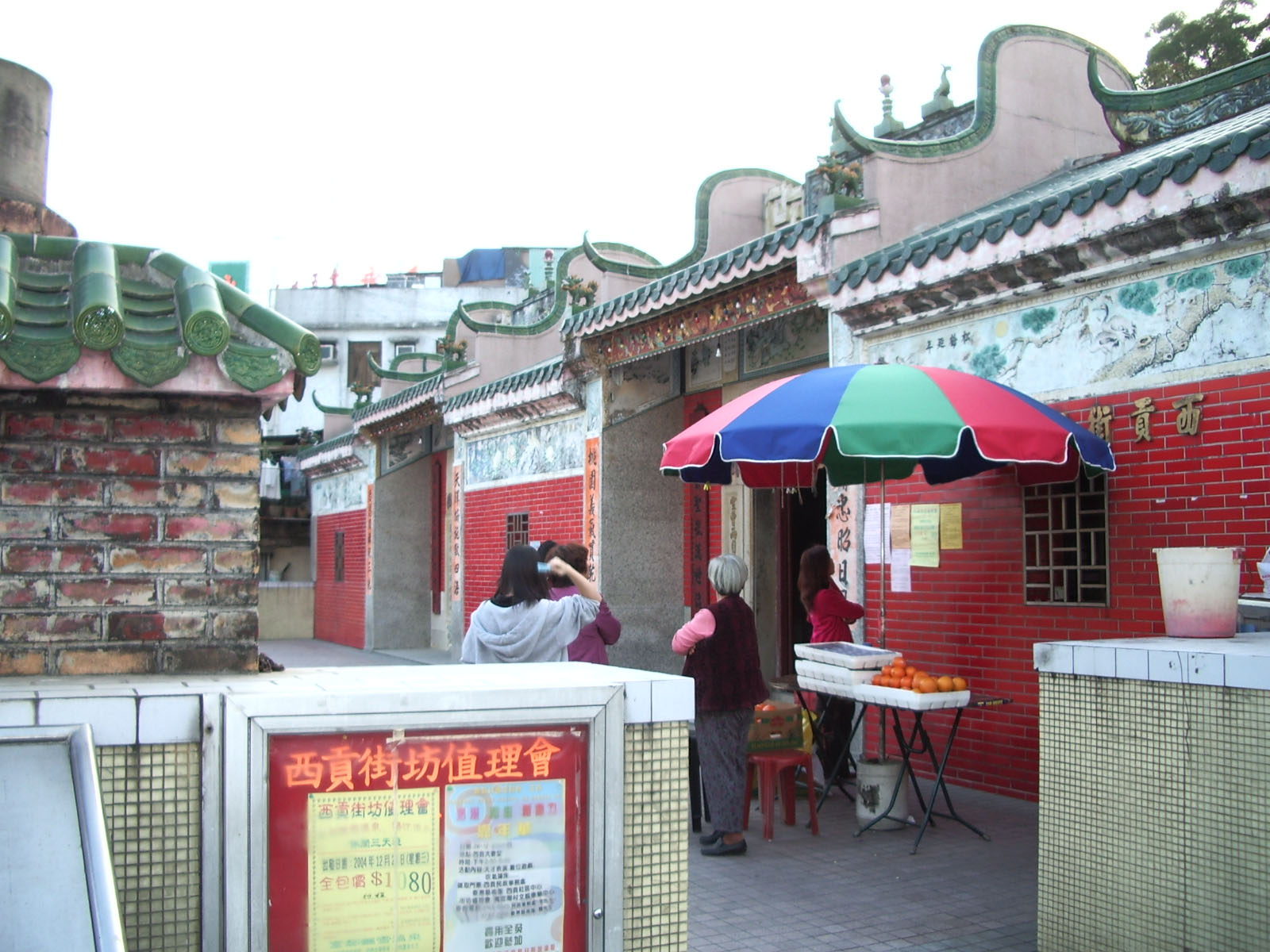
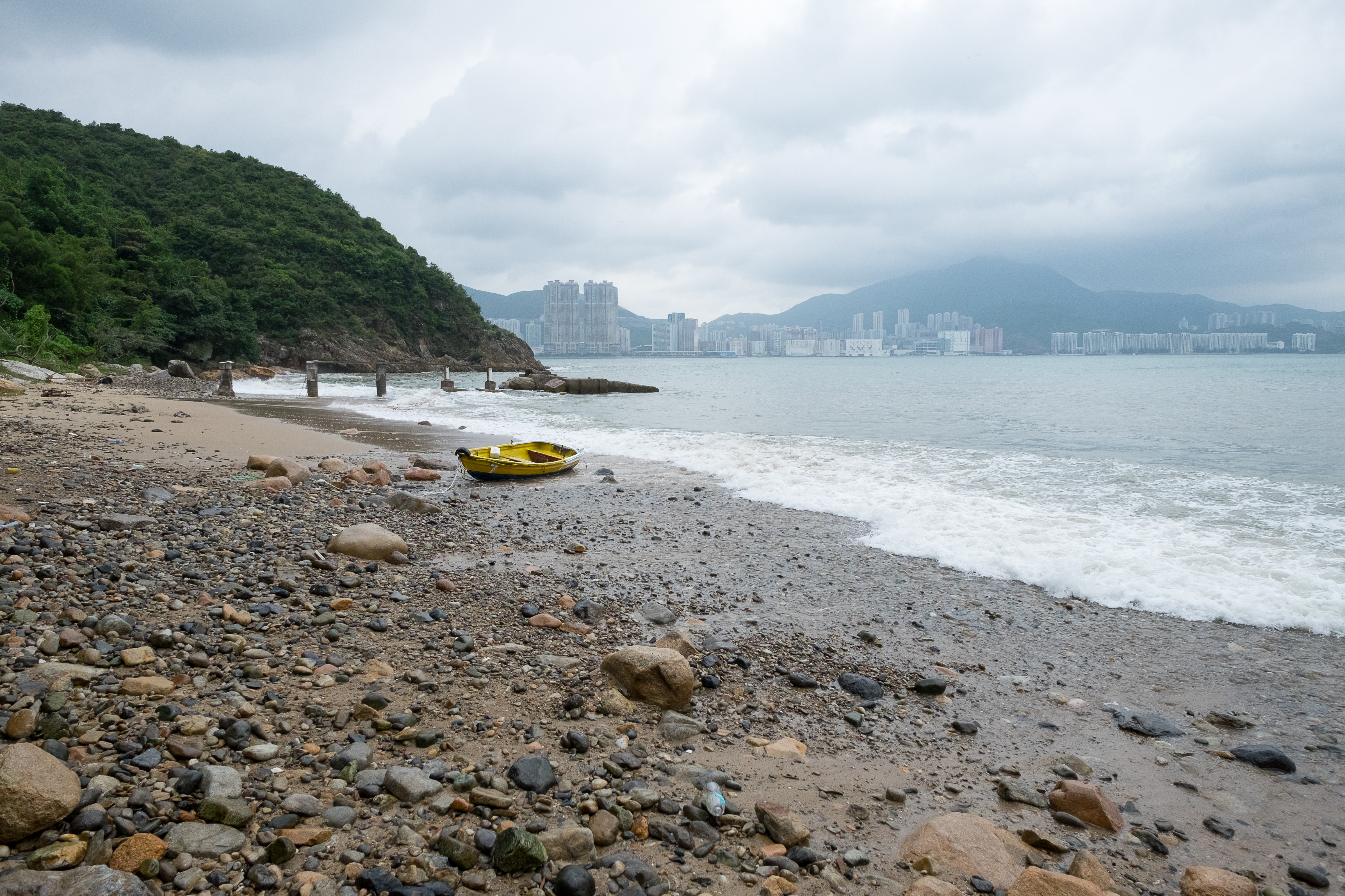
Fat Tau Chau Village () aka. Fu Tau Chau () is a village in the Hang Hau area of Sai Kung District, New Territories, Hong Kong. Recognised status Fat Tau Chau is a recognised village under the New Territories Small House Policy. History The current Fat Tau Chau Village is a resite village that was relocated together with the nearby Tin Ha Wan Village in the early 1990s. The historical location was on Fat Tong Chau. References External links Delineation of area of existing village Fu Tau Chau (Hang Hau) for election of resident representative (2019 to 2022)* Antiquities Advisory Board. Historic Building AppraisalTin Hau Temple, Hang Hau Villages in Sai Kung District, Hong Kong Hang Hau {{NewTerritories-geo-stub ... [...More Info...] [...Related Items...] OR: [Wikipedia] [Google] [Baidu] |
Hang Hau
Hang Hau () is a residential area in Tseung Kwan O, Sai Kung District, Sai Kung, New Territories, Hong Kong. It is located at the eastern edge of the Tseung Kwan O New Town. Most of the land was Land reclamation in Hong Kong, reclaimed from Hang Hau Village and Shui Bin Village (). History The earliest history referring to Hang Hau was in the 19th century. It was an agricultural and fishing village. Hang Hau got its name from a large water channel near Mang Kung Uk () that led to the sea. In days gone by, Hang Hau was on the sea front, facing Junk Bay. Many of the village names in Hang Hau reflect this – Shui Bin Village () means ''Waterside Village'', for example. On 2 October 1957, Hang Hau Rural Committee was established. The rural committee was to serve the Indigenous inhabitants of the New Territories, indigenous inhabitants in Hang Hau Village, Shui Bin Village, Tin Ha Wan Village, Yau Yue Wan Village, Tseng Lan Shue, Tai Po Tsai, Mang Kung Uk and Po Toi O. [...More Info...] [...Related Items...] OR: [Wikipedia] [Google] [Baidu] |
Sai Kung District
Sai Kung District is one of the 18 districts of Hong Kong, a special administrative region of China. The district comprises the southern half of the Sai Kung Peninsula, the Clear Water Bay Peninsula in the New Territories and a strip of land to the east of Kowloon. Areas in the district include Sai Kung Town, Hong Kong UNESCO Global Geopark, Tseung Kwan O and over 70 islands of different sizes. The administrative centre had been located in Sai Kung Town until the Sai Kung District Office was relocated to Tseung Kwan O recently. The district's population is concentrated in Tseung Kwan O, as of 2011. In 2011, the district was the third youngest district, with a median age of 39.3. Known as the "back garden of Hong Kong", Sai Kung has been able to retain its natural scenery. Many traditional customs and cultures are still retained in the rural villages. History The modern geopolitical entity of Sai Kung District was formed after World War II. Settlements existed in the area p ... [...More Info...] [...Related Items...] OR: [Wikipedia] [Google] [Baidu] |
New Territories
The New Territories is one of the three main regions of Hong Kong, alongside Hong Kong Island and the Kowloon Peninsula. It makes up 86.2% of Hong Kong's territory, and contains around half of the population of Hong Kong. Historically, it is the region described in the Convention for the Extension of Hong Kong Territory. According to that treaty, the territories comprise the mainland area north of Boundary Street on the Kowloon Peninsula and south of the Sham Chun River (which is the border between Hong Kong and Mainland China), as well as over 200 outlying islands, including Lantau Island, Lamma Island, Cheung Chau, and Peng Chau in the territory of HK. Later, after New Kowloon was defined from the area between the Boundary Street and the Kowloon Ranges spanned from Lai Chi Kok to Lei Yue Mun, and the extension of the urban areas of Kowloon, New Kowloon was gradually urbanised and absorbed into Kowloon. The New Territories now comprises only the mainland north of th ... [...More Info...] [...Related Items...] OR: [Wikipedia] [Google] [Baidu] |
Hong Kong
Hong Kong ( (US) or (UK); , ), officially the Hong Kong Special Administrative Region of the People's Republic of China ( abbr. Hong Kong SAR or HKSAR), is a city and special administrative region of China on the eastern Pearl River Delta in South China. With 7.5 million residents of various nationalities in a territory, Hong Kong is one of the most densely populated places in the world. Hong Kong is also a major global financial centre and one of the most developed cities in the world. Hong Kong was established as a colony of the British Empire after the Qing Empire ceded Hong Kong Island from Xin'an County at the end of the First Opium War in 1841 then again in 1842.. The colony expanded to the Kowloon Peninsula in 1860 after the Second Opium War and was further extended when Britain obtained a 99-year lease of the New Territories in 1898... British Hong Kong was occupied by Imperial Japan from 1941 to 1945 during World War II; British administration resume ... [...More Info...] [...Related Items...] OR: [Wikipedia] [Google] [Baidu] |
Small House Policy
The Small House Policy (SHP, ) was introduced in 1972 in Hong Kong. The objective was to improve the then prevailing low standard of housing in the rural areas of the New Territories. The Policy allows an indigenous male villager who is 18 years old and is descended through the male line from a resident in 1898 of a recognized village in the New Territories, an entitlement to one concessionary grant during his lifetime to build one house. The policy has generated debates and calls for amendments to be made. History The Small House Policy has been in effect ever since 1972 to provide a once-in-a-lifetime small house grant for an indigenous villager who is "a male person at least 18 years old and is descended through the male line from a resident of 1898 of a recognized village (Ding, ) which is approved by the Director of Lands". An indigenous villager therefore enjoys small house concessionary rights (ding rights, ) in building a house of not more than three storeys nor mo ... [...More Info...] [...Related Items...] OR: [Wikipedia] [Google] [Baidu] |
Lands Department
The Lands Department is a government department under the Development Bureau responsible for all land matters in Hong Kong. Established in 1982, it comprises three functional offices: the Lands Administration Office, the Survey and Mapping Office and the Legal Advisory and Conveyancing Office.Land Department"Welcome Message"/ref> See also * ''Hong Kong Guide ''Hong Kong Guide'' () is a Hong Kong atlas published by the Survey and Mapping Office (SMO), Lands Department of Hong Kong Government. From 2005, ''Hong Kong Guide 2005'' includes photomaps in parallel to traditional maps.Lands Department ...'', an atlas published annually by the Survey and Mapping Office References {{authority control Hong Kong government departments and agencies Land management Urban planning in Hong Kong ... [...More Info...] [...Related Items...] OR: [Wikipedia] [Google] [Baidu] |
Tin Ha Wan Village
Tin Ha Wan Village () is a village in the Hang Hau area of Sai Kung District, New Territories, Hong Kong. Administration Tin Ha Wan Village is a recognized village under the New Territories Small House Policy. History The current Tin Ha Wan Village is a resite village that was relocated together with the nearby Fat Tau Chau Village in the early 1990s. The historical location of Tin Ha Wan was in a bay near Fat Tong Chau. It comprised two settlements, Sheung Lau Wan and Ha Lau Wan, and had a population of 96 in 1955. See also * Fat Tau Chau, a nearby resite village References External links Delineation of area of existing village Tin Ha Wan (Hang Hau) for election of resident representative (2019 to 2022)* Antiquities Advisory Board The Antiquities Advisory Board (AAB) is a statutory body of the Hong Kong Special Administrative Region with the responsibility of advising the Antiquities Authority on any matters relating to antiquities and monuments. The AAB was esta ... [...More Info...] [...Related Items...] OR: [Wikipedia] [Google] [Baidu] |
Fat Tong Chau
Fat Tong Chau (), also known as Junk Island in English, is a former island of Hong Kong. It is now part of Tseung Kwan O (also called Junk Bay) and Clear Water Bay Peninsula, Sai Kung as a result of land reclamation. It is located in the southeastern part of Junk Bay. Location Fat Tong Chau is located south of the Tseung Kwan O Industrial Estate and directly west of TVB City. The South East New Territories Landfill (SENT) is located south of Fat Tong Chau. Before land reclamation, Fat Tong Chau formed the northern boundary of Tathong Channel. Chinese Customs Station The site of the Chinese Customs Station, a declared monument of Hong Kong, is located in the northwestern part of Fat Tong Chau. Archaeological finds from the site are being exhibited at Hong Kong Museum of History, including the "Foster benevolence over Indo-China; tributes and taxes circulate from afar" stone tablet A stele ( ),Anglicized plural steles ( ); Greek plural stelai ( ), from Greek , ''stēlē''. ... [...More Info...] [...Related Items...] OR: [Wikipedia] [Google] [Baidu] |
Antiquities Advisory Board
The Antiquities Advisory Board (AAB) is a statutory body of the Hong Kong Special Administrative Region with the responsibility of advising the Antiquities Authority on any matters relating to antiquities and monuments. The AAB was established in 1976 along with the Antiquities and Monuments Office (AMO) when the Antiquities and Monuments Ordinance (Cap. 53) was enacted, and comprises members appointed by the Chief Executive. The corresponding governmental ministry is the Development Bureau, and executive support for the AAB is provided by the AMO which is under the Development Bureau. Formation The Antiquities and Monuments Ordinance (Cap. 53) was passed in 1971. However, the Ordinance was not "give life" and the AAB was not constituted until February of 1977. According to section 17 of the Antiquities and Monuments Ordinance (Cap. 53), the AAB consists of members the Chief Executive may appoint, with one being appointed Chairman by the Chief Executive. The Ordinance does n ... [...More Info...] [...Related Items...] OR: [Wikipedia] [Google] [Baidu] |
Villages In Sai Kung District, Hong Kong
A village is a clustered human settlement or Residential community, community, larger than a hamlet (place), hamlet but smaller than a town (although the word is often used to describe both hamlets and smaller towns), with a population typically ranging from a few hundred to a few thousand. Though villages are often located in rural areas, the term urban village is also applied to certain urban neighborhoods. Villages are normally permanent, with fixed dwellings; however, transient villages can occur. Further, the dwellings of a village are fairly close to one another, not scattered broadly over the landscape, as a dispersed settlement. In the past, villages were a usual form of community for societies that practice subsistence agriculture, and also for some non-agricultural societies. In Great Britain, a hamlet earned the right to be called a village when it built a Church (building), church. [...More Info...] [...Related Items...] OR: [Wikipedia] [Google] [Baidu] |


