|
Fallsburg
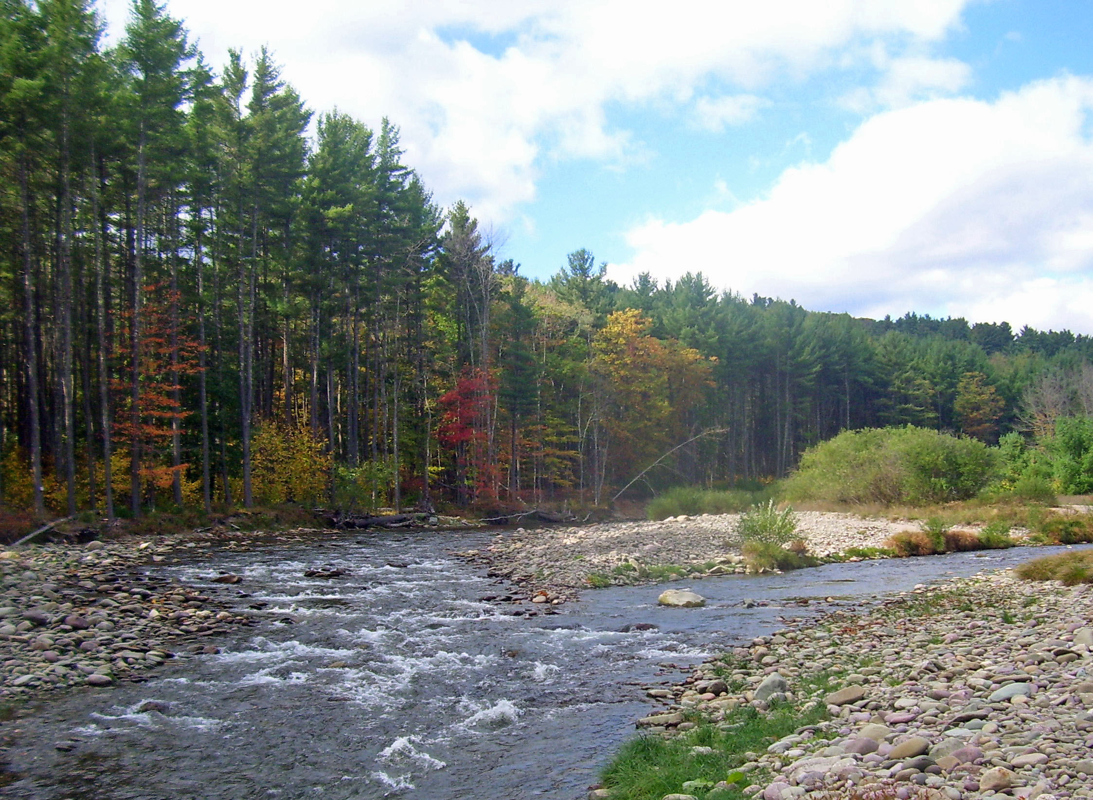
Fallsburg is a town in Sullivan County, New York, United States. The town is in the eastern part of the county. The population was 14,192 at the 2020 census. (It is not to be confused with the hamlet of Fallsburg which bears a similar name and is within the town of Fallsburg.) History On March 9, 1826, the New York State Legislature passed an act establishing the town of Fallsburg. The town was created from parts of the towns of Thompson and Neversink. Fallsburg takes its name from a waterfall on the Neversink River and was established in 1826. One month later, on April 4, the first town meeting was held in the schoolhouse where the hamlet of Fallsburg is today. The Neversink River runs from north to south through the town and played an important role in its early development. In the late 1780s, the valley above the falls on the Neversink was known as having fertile and cheap land. This brought an influx of settlers from Ulster County. By 1800, the upper areas along the river ... [...More Info...] [...Related Items...] OR: [Wikipedia] [Google] [Baidu] |
Fallsburg (CDP), New York
Fallsburg is a hamlet and census-designated place (CDP) in the town of Fallsburg in Sullivan County, New York, United States. It was first listed as a CDP prior to the 2020 census. The community is in eastern Sullivan County, in the center of the town of Fallsburg. It is bordered to the south by South Fallsburg and to the north by Woodbourne. The Neversink River, a tributary of the Delaware River, flows from north to south through the community. New York State Route 42 passes through the community, following the west side of the Neversink. The highway leads north to Woodbourne and to Grahamsville, while to the southwest it leads to Monticello Monticello ( ) was the primary plantation of Founding Father Thomas Jefferson, the third president of the United States, who began designing Monticello after inheriting land from his father at age 26. Located just outside Charlottesville, V .... Demographics References Census-designated places in Sullivan County, Ne ... [...More Info...] [...Related Items...] OR: [Wikipedia] [Google] [Baidu] |
Sullivan County, New York
Sullivan County is a county in the U.S. state of New York. As of the 2020 census, the population was 78,624. The county seat is Monticello. The county's name honors Major General John Sullivan, who was labeled at the time as a hero in the American Revolutionary War in part due to his successful campaign against the Iroquois (see Sullivan Expedition). The county was the site of hundreds of Borscht Belt hotels and resorts, which had their heyday from the 1920s through the 1970s. In 2010, the state's center of population was at the southern edge of Sullivan County. History When the Province of New York established its first twelve counties in 1683, the present Sullivan County was part of Ulster County. In 1809, Sullivan County was split from Ulster County. In the late 19th century, the Industrial Revolution and the advent of factories driven by water power along the streams and rivers led to an increase in population attracted to the jobs. Hamlets enlarged into towns. As in ... [...More Info...] [...Related Items...] OR: [Wikipedia] [Google] [Baidu] |
Neversink River
The Neversink River (also called Neversink Creek in its upper course) is a U.S. Geological Survey. National Hydrography Dataset high-resolution flowline dataThe National Map accessed April 1, 2011 tributary of the Delaware River in southeastern New York (state), New York in the United States. The name of the river comes from the corruption of an Algonquin language, Algonquian language phrase meaning "mad river." The Neversink River is considered by many to be the birthplace of American dry fly fishing.Askins, Justin. ''The Legendary Neversink: A Treasury of the Best Writing About One of America's Great Trout Rivers'', Skyhorse Publishing, 2007, page xv Course The Neversink's main flow begins just south of the border between present-day Ulster County, New York, Ulster and Sullivan County, New York, Sullivan County (United States), counties, where the east and west branches of the river join near the hamlet (place), hamlet of Claryville, New York, Claryville. Both branches begin o ... [...More Info...] [...Related Items...] OR: [Wikipedia] [Google] [Baidu] |
Woodbourne, New York
Woodbourne is a hamlet (and census-designated place) in the town of Fallsburg in Sullivan County, New York, United States. Woodbourne is bordered by the town of Neversink, the hamlet of Grahamsville, the hamlet of Loch Sheldrake, the hamlet of Old Falls and the hamlet of Hasbrouck. The major thoroughfares of Woodbourne are New York State Routes 42 and 52. The center of the hamlet is where the two highways briefly overlap and cross the Neversink River. Woodbourne is in the Catskills Borscht Belt and in its heyday was home to many summer hotels, bungalow colonies and boarding houses, which are mainly uninhabited throughout most of the calendar year. To this day, the population of Woodbourne and nearby areas increases dramatically each summer with an influx of Orthodox Jewish residents from New York City, New Jersey and other surrounding Jewish population centers. With this, the local economy expands in the warmer months as locally owned small businesses thrive until approximatel ... [...More Info...] [...Related Items...] OR: [Wikipedia] [Google] [Baidu] |
Borscht Belt
The Borscht Belt, or Jewish Alps, is a colloquial term for the mostly defunct summer resorts of the Catskill Mountains in parts of Sullivan, Orange, and Ulster counties in the U.S. state of New York, straddling both Upstate New York and the northern edges of the New York metropolitan area. A source interviewed by ''Time'' magazine stated that the visits to the area by Jewish families was already underway "as early as the 1890s ... Tannersville ... was 'a great resort of our Israelite brethren'...from the 1920s on here werehundreds of hotels". A 2019 review of the history is more specific: "in its heyday, as many as 500 resorts catered to guests of various incomes". These resorts, and also the Borscht Belt bungalow colonies, were a popular vacation spot for New York City Jews from the 1920s through the 1960s. By the late 1950s, many began closing, with most gone by the 1970s, but some major resorts continued to operate, a few into the 1990s. Grossinger's Catskill Resort Hotel clos ... [...More Info...] [...Related Items...] OR: [Wikipedia] [Google] [Baidu] |
Neversink, New York
Neversink is a town in Sullivan County, New York, United States. The population was 3,366 at the 2020 census. The Town of Neversink is in the northeastern corner of the county. The Neversink River that flows through the town is claimed to be the birthplace of American fly fishing. History The town was formed from the Town of Rochester in Ulster County, New York in 1798 before Sullivan County was formed. The Town of Rockland was created from part of Neversink in 1809, and part of Neversink was used to make the newer Town of Fallsburg in 1826. When the Neversink and Rondout reservoirs were built, as part of the New York City water supply system, many communities were submerged. The communities of Old Neversink and Bittersweet were lost to form the Neversink Reservoir, while Eureka, Montela, and Lackawack were lost to form the Rondout Reservoir. In 1935, the town passed a dry law prohibiting the sale of alcoholic beverages, which remained in effect despite repeated efforts t ... [...More Info...] [...Related Items...] OR: [Wikipedia] [Google] [Baidu] |
Loch Sheldrake
Loch Sheldrake is a hamlet and census-designated place (CDP) in the Town of Fallsburg, New York, United States, in Sullivan County. The zip code for Loch Sheldrake is 12759. The community was originally named Sheldrake Pond after a deep, glacially formed pond, which forms the center of town. It is bordered by the hamlet of Hurleyville, the Town of Liberty, the hamlet of Hasbrouck, the hamlet of Divine Corners, and the hamlet of Woodbourne. The commercial center of Loch Sheldrake is the intersection of County Road 104 and NYS Route 52, at the edge of Sheldrake Pond. In its heyday as a Catskills Borscht Belt resort it was home to numerous hotels, bungalow colonies and boarding houses. Some of the best known of these were the Brown's Hotel, where comedian Jerry Lewis worked; the Evans Hotel; and the Karmel Hotel, now Stagedoor Manor, a renowned performing arts summer camp. It is also the home of Sullivan County Community College and the Lochmor Golf Course. [...More Info...] [...Related Items...] OR: [Wikipedia] [Google] [Baidu] |
Thompson, New York
Thompson is a town in the southern part of Sullivan County, New York, United States. The population was 16,550 at the 2020 census.US Census Bureau, 2020 Census Report Thompson, Sullivan County, New York QuickFacts https://www.census.gov/quickfacts/thompsontownsullivancountynewyork The town is named after William Thompson, an early settler. History The town was first settled in 1749. Thompson was established in 1803 from the town of Mamakating. Part of the town was taken from the town of Fallsburg in 1826. Geography According to the United States Census Bureau, the town has a total area of , of which is land and (3.77%) is water. Demographics As of the census of 2000, there were 14,189 people, 5,543 households, and 3,481 families residing in the town. The population density was 168.7 people per square mile (65.1/km2). There were 9,258 housing units at an average density of 110.1 per square mile (42.5/km2). The racial makeup of the town was 73.70% white, 16.94% African ... [...More Info...] [...Related Items...] OR: [Wikipedia] [Google] [Baidu] |
Ellenville, New York
Ellenville is a village within the town of Wawarsing, Ulster County, New York, United States. Its population was 4,135 at the 2010 census. Geography The village of Ellenville is about 90 miles northwest of New York City and 90 miles southwest of Albany. The village is located at the junction of routes NY 52 and U.S. Route 209, and is bisected by the recently designated Shawangunk Scenic Byway. Ellenville lies in the Rondout Valley, at the eastern base of the Catskill Mountains, and the western base of the Shawangunk Ridge, which is listed by the Nature Conservancy as one of the "75 Last Great Places on Earth." The north-flowing Sandburg Creek and east-flowing Beer Kill intersect in Ellenville near the current site of the Ellenville Central School to become the Rondout Creek, which flows north to join the Hudson River near Kingston. Ellenville is within the Hudson River Valley National Heritage Area. According to the United States Census Bureau, the village has a total area ... [...More Info...] [...Related Items...] OR: [Wikipedia] [Google] [Baidu] |
Catskill Mountains
The Catskill Mountains, also known as the Catskills, are a physiographic province of the larger Appalachian Mountains, located in southeastern New York. As a cultural and geographic region, the Catskills are generally defined as those areas close to or within the borders of the Catskill Park, a forest preserve protected from many forms of development under New York state law. Geologically, the Catskills are a mature dissected plateau, a flat region subsequently uplifted and eroded into sharp relief by watercourses. The Catskills form the northeastern end of the Allegheny Plateau (also known as the Appalachian Plateau). The Catskills were named by early Dutch settlers. They are well known in American society as the setting for films and works of art, including many 19th-century Hudson River School paintings, as well as for being a favored destination for vacationers from New York City in the mid-20th century. The region's many large resorts gave many young stand-up comedian ... [...More Info...] [...Related Items...] OR: [Wikipedia] [Google] [Baidu] |
Administrative Divisions Of New York
The administrative divisions of New York are the various units of government that provide local services in the State of New York. The state is divided into boroughs, counties, cities, townships called "towns", and villages. (The only boroughs, the five boroughs of New York City, have the same boundaries as their respective counties.) They are municipal corporations, chartered (created) by the New York State Legislature, as under the New York Constitution the only body that can create governmental units is the state. All of them have their own governments, sometimes with no paid employees, that provide local services. Centers of population that are not incorporated and have no government or local services are designated hamlets. Whether a municipality is defined as a borough, city, town, or village is determined not by population or land area, but rather on the form of government selected by the residents and approved by the New York Legislature. Each type of local government ... [...More Info...] [...Related Items...] OR: [Wikipedia] [Google] [Baidu] |
Mamakating, New York
Mamakating is a town in the southeastern section of Sullivan County, New York, United States. The population was 12,655 at the 2020 census. History Johanis Hardenburgh, a resident of Kingston, Ulster County, had purchased a large tract of land known as the Hardenburgh Patent in 1706. This land and another patent known as the Minisink Patent were what is now most of Orange and Sullivan Counties. The town of Mamakating was organized on 17 December 1743 as the Precinct of Mamakating in Ulster County,Quinlin, James Eldridge (1873) ''History of Sullivan County'' G.M. Beebe and W.T. Morgans, Liberty, NY and was coextensive with what became Sullivan County. Some say it was called Mamacotten. Over decades, the precinct was partitioned into towns. The Town of Mamakating is considered the first town in Sullivan County; its first county seat was raised in the village of Bloomingburg in 1809. During the early and middle 18th century the construction of forts all along the Old Mine Road ( ... [...More Info...] [...Related Items...] OR: [Wikipedia] [Google] [Baidu] |


