|
Ellerbeck
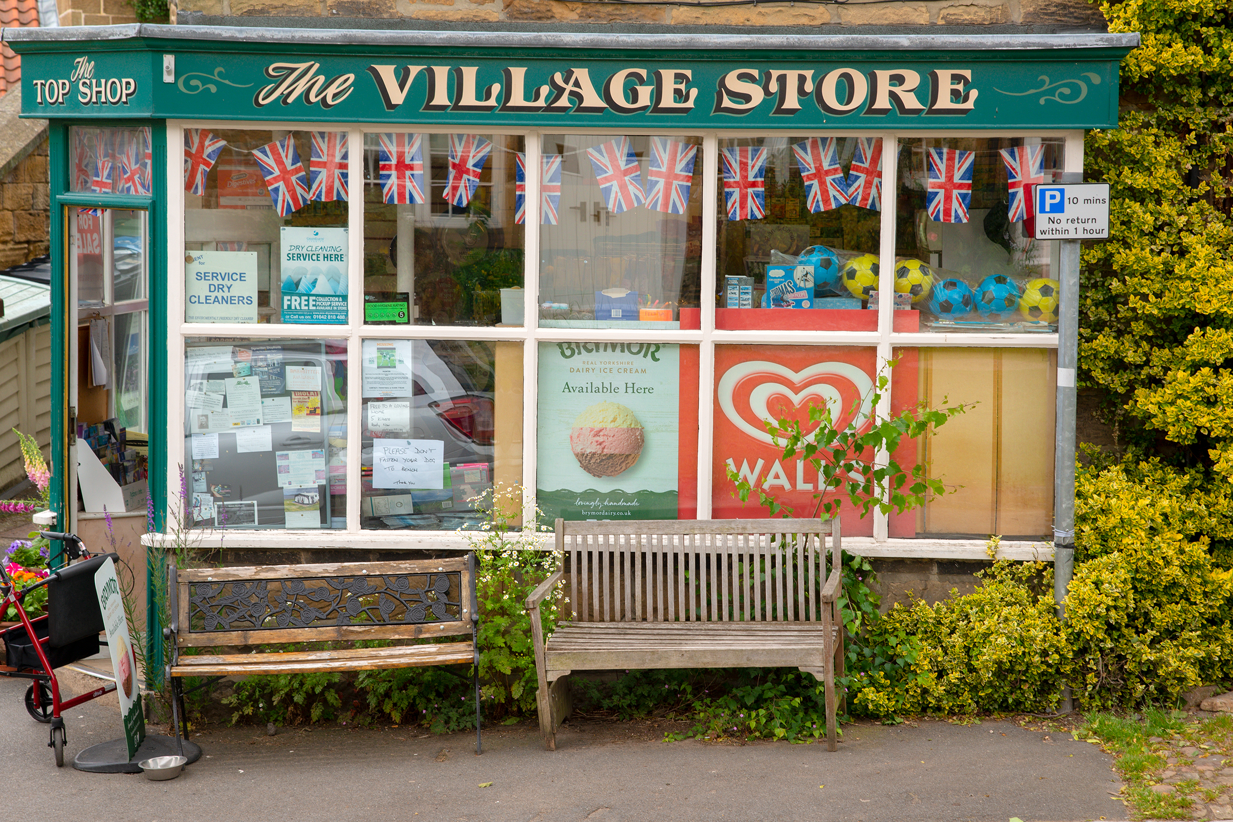
Ellerbeck is a small village and civil parish in the Hambleton district of North Yorkshire, England. The population of the parish was estimated at 50 in 2010. The population as taken at the 2011 Census remained less than 100. Details are maintained in the civil parish of Winton, Stank and Hallikeld. Ellerbeck lies on the A684 road between Northallerton and the A19 near Osmotherley. Ellerbeck also lies on the route of one of the variations of the Coast to coast walk. Cod Beck flows through Ellerbeck on its way down into the Vale of Mowbray from the North York Moors. The village of Elrebec is mentioned in the ''Domesday Book Domesday Book () – the Middle English spelling of "Doomsday Book" – is a manuscript record of the "Great Survey" of much of England and parts of Wales completed in 1086 by order of King William I, known as William the Conqueror. The manusc ...''. There was a violent gas explosion in Ellerbeck in the late 1990s which destroyed a house in the ... [...More Info...] [...Related Items...] OR: [Wikipedia] [Google] [Baidu] |
A684 Road
The A684 is an A road that runs through Cumbria and North Yorkshire, starting at Kendal, Cumbria and ending at Ellerbeck and the A19 road in North Yorkshire. It crosses the full width of the Yorkshire Dales, passing through Garsdale and the full length of Wensleydale. Flooding can be a problem after heavy rain, especially at Appersett, near Hawes, and heavy snow can close the road temporarily at the Black Horse hill and in Garsdale. Settlements on the road * Kendal *Sedbergh * Garsdale *Appersett *Hawes * Bainbridge * Worton *Aysgarth *West Witton * Wensley *Leyburn *Constable Burton * Patrick Brompton *Crakehall *Morton-on-Swale * Ainderby Steeple *Northallerton *Ellerbeck where it meets the A19 road. The route The A684 has primary status for the short length between Kendal and junction 37 of the M6 motorway, though even this primary section involves two hills and some tricky twists. East of the M6, the road descends the "Black Horse" hill and passes through Sedbergh wher ... [...More Info...] [...Related Items...] OR: [Wikipedia] [Google] [Baidu] |
Winton, Stank And Hallikeld
Winton, Stank and Hallikeld is a civil parish in the Hambleton district of North Yorkshire, England England is a country that is part of the United Kingdom. It shares land borders with Wales to its west and Scotland to its north. The Irish Sea lies northwest and the Celtic Sea to the southwest. It is separated from continental Europe b .... References Civil parishes in North Yorkshire {{Hambleton-geo-stub ... [...More Info...] [...Related Items...] OR: [Wikipedia] [Google] [Baidu] |
Cod Beck, North Yorkshire
Cod Beck is a river in North Yorkshire, England. It has a catchment area of . The river extends for from above Cod Beck Reservoir at Osmotherley on the edge of the North York Moors through Thirsk and on to join the River Swale at Topcliffe. Cod Beck has a long history of flooding Thirsk and a feasibility study completed in April 2005 recommended additional flood defences and upstream storage. In 2011, a proposed flood defence scheme in Thirsk was cancelled due to the Environment Agency having its budget cut by 41%. The name Cod Beck is a derivative of Cold Beck, where beck is smaller than a river; the stream runs deep between banks, so is always fairly cool. Cod fish are not found in fresh water. Settlements ''from source'' * Osmotherley *Ellerbeck * Foxton *Kirby Sigston *Thornton-le-Street *North Kilvington *South Kilvington *Thirsk * Sowerby *Dalton Dalton may refer to: Science * Dalton (crater), a lunar crater * Dalton (program), chemistry software * Dalton (u ... [...More Info...] [...Related Items...] OR: [Wikipedia] [Google] [Baidu] |
Hambleton District
Hambleton is a local government district in North Yorkshire, England. The administrative centre is Northallerton, and the district includes the outlying towns and villages of Bedale, Thirsk, Great Ayton, Stokesley, and Easingwold. The district was formed by the Local Government Act 1972 on 1 April 1974, as a merger of Northallerton Urban District, Bedale Rural District, Easingwold Rural District, Northallerton Rural District, and parts of Thirsk Rural District, Stokesley Rural District and Croft Rural District, all in the North Riding of Yorkshire. Geography Hambleton covers an area of 1,311.17 km² most of which, 1,254.90 km², is green space. The district is named after the Hambleton Hills, part of the North York Moors National Park, on the eastern edge of the district. This area is the subject of a national habitat protection scheme as articulated in the United Kingdom's Biodiversity Action Plan. About 75% of the district lies in the Vales of Mowbray and of ... [...More Info...] [...Related Items...] OR: [Wikipedia] [Google] [Baidu] |
North Yorkshire
North Yorkshire is the largest ceremonial counties of England, ceremonial county (lieutenancy area) in England, covering an area of . Around 40% of the county is covered by National parks of the United Kingdom, national parks, including most of the Yorkshire Dales and the North York Moors. It is one of four counties in England to hold the name Yorkshire; the three other counties are the East Riding of Yorkshire, South Yorkshire and West Yorkshire. North Yorkshire may also refer to a non-metropolitan county, which covers most of the ceremonial county's area () and population (a mid-2016 estimate by the Office for National Statistics, ONS of 602,300), and is administered by North Yorkshire County Council. The non-metropolitan county does not include four areas of the ceremonial county: the City of York, Middlesbrough, Redcar and Cleveland and the southern part of the Borough of Stockton-on-Tees, which are all administered by Unitary authorities of England, unitary authorities. ... [...More Info...] [...Related Items...] OR: [Wikipedia] [Google] [Baidu] |
Civil Parish
In England, a civil parish is a type of administrative parish used for local government. It is a territorial designation which is the lowest tier of local government below districts and counties, or their combined form, the unitary authority. Civil parishes can trace their origin to the ancient system of ecclesiastical parishes, which historically played a role in both secular and religious administration. Civil and religious parishes were formally differentiated in the 19th century and are now entirely separate. Civil parishes in their modern form came into being through the Local Government Act 1894, which established elected parish councils to take on the secular functions of the parish vestry. A civil parish can range in size from a sparsely populated rural area with fewer than a hundred inhabitants, to a large town with a population in the tens of thousands. This scope is similar to that of municipalities in Continental Europe, such as the communes of France. However, ... [...More Info...] [...Related Items...] OR: [Wikipedia] [Google] [Baidu] |
Northallerton
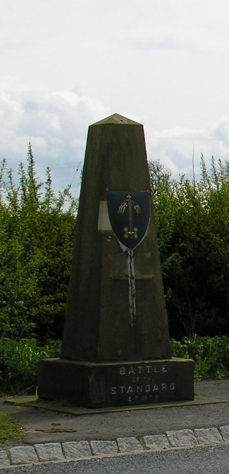
Northallerton ( ) is a market town and civil parish in the Hambleton District of North Yorkshire, England. It lies in the Vale of Mowbray and at the northern end of the Vale of York. It had a population of 16,832 in the 2011 census, an increase from 15,741 in 2001. It has served as the county town of the North Riding of Yorkshire and, since 1974, of North Yorkshire. Northallerton is made up of four wards: North, Broomfield, Romanby and Central. There has been a settlement at Northallerton since Roman times; however its growth in importance began in the 11th century when King William II gifted land to the Bishop of Durham. Under the Bishop's authority Northallerton became an important religious centre. Later, it was a focus for much conflict between the English and the Scots, most notably the Battle of the Standard, fought nearby in 1138, which saw losses of as many as 12,000 men. In later years trade and transport became more important. The surrounding area was discovere ... [...More Info...] [...Related Items...] OR: [Wikipedia] [Google] [Baidu] |
A19 Road
The A19 is a major road in England running approximately parallel to and east of the A1 road. Although the two roads meet at the northern end of the A19, the two roads originally met at the southern end of the A19 in Doncaster, but the old route of the A1 was changed to the A638. From Sunderland northwards, the route was formerly the A108. In the past the route was known as the East of Snaith-York-Thirsk-Stockton-on-Tees-Sunderland Trunk Road. Most traffic joins the A19, heading for Teesside, from the A168 at Dishforth Interchange. Route Doncaster–Selby The southern end of the A19 starts at the ''St Mary's Roundabout'' with the A630 ''Church Way'' and A638 just to the north of Doncaster itself near to the parish church; this junction has been improved in recent years. It leaves the A638 at the next roundabout as ''Bentley Road'', and then winds its way over the East Coast Main Line, which it follows through Selby and York, through the suburb of Bentley passing the ... [...More Info...] [...Related Items...] OR: [Wikipedia] [Google] [Baidu] |
Osmotherley, North Yorkshire
Osmotherley is a village and civil parish in the Hambleton hills in North Yorkshire, six miles north-east of Northallerton. The village is at the western edge of the North York Moors National Park. Osmotherley is on the route of the 110-mile Cleveland Way, one of the National Trails established by Natural England. Origin of name Osmotherley probably means the clearing or 'ley', belonging to a Viking called 'Asmund' or a Saxon called 'Osmund'. In ''Domesday Book'' it was recorded as Asmundrelac and subsequently as Osmundeslay and Osmonderlay. Local legend says that Osmotherley was named after the mother of a villager named Oswald or Osmund, who went out to gather firewood in the winter. When she did not return her son became anxious and went out to look for her. He found her lying in the snow, dead or dying from the cold. Because he was not able to carry her back, he lay down beside her and died himself. It is where Oswald's mother lies, hence Osmotherley. Governance Located i ... [...More Info...] [...Related Items...] OR: [Wikipedia] [Google] [Baidu] |
Coast To Coast Walk
The Coast to Coast Walk is a long-distance footpath between the west and east coasts of Northern England, nominally long. Devised by Alfred Wainwright, it passes through three contrasting national parks: the Lake District National Park, the Yorkshire Dales National Park, and the North York Moors National Park. The current actual measured distance is reported as . Wainwright recommends that walkers dip their booted feet in the Irish Sea at St Bees and, at the end of the walk, in the North Sea at Robin Hood's Bay. It has been an unofficial and mostly unsignposted trail. However on 12 August 2022 it was announced that the Coast to Coast Walk would become an official National Trail, following a successful campaign by the Wainwright Society (the official Responsible Organisation for the trail). Work will commence to upgrade the route and officially open it in 2025 (at long). History and status The Coast to Coast was originally described by Alfred Wainwright in his 1973 boo ... [...More Info...] [...Related Items...] OR: [Wikipedia] [Google] [Baidu] |
Vale Of Mowbray
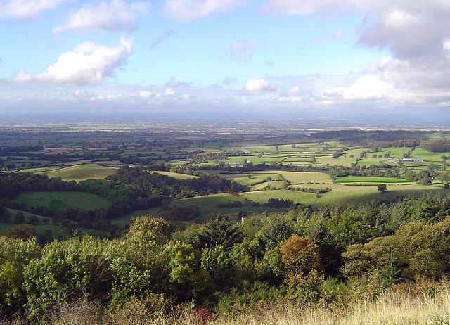
The Vale of Mowbray (sometimes mistakenly referred to as the Vale of York) is a stretch of low-lying land between the North York Moors and the Hambleton Hills to the east and the Yorkshire Dales to the west. To the north lie the Cleveland lowlands and to the south the Vale of Mowbray becomes the Vale of York proper. The Vale of Mowbray is distinguishable from the Vale of York by its meandering rivers and more undulating landscape. The main characteristic of the Vale of Mowbray is the fertile agricultural land used for crops and permanent grassland, though isolated pockets of woodland remain. The roads in the Vale of Mowbray are characteristically contained by low hedges with wide verges. The villages are often linear following the major through road, the houses are generally brick built with pantile roofs. Description The vale takes its name from the family who were granted the rights to the land after the Norman Conquest of 1066. Robert de Mowbray, whose family had a strong ... [...More Info...] [...Related Items...] OR: [Wikipedia] [Google] [Baidu] |
North York Moors
The North York Moors is an upland area in north-eastern Yorkshire, England. It contains one of the largest expanses of Calluna, heather moorland in the United Kingdom. The area was designated as a national parks of England and Wales, National Park in 1952, through the National Parks and Access to the Countryside Act 1949. Covering an area of , the National Park has a population of 23,380. It is administered by the North York Moors National Park Authority, whose head office is based in Helmsley. Location and transport To the east the area is clearly defined by the impressive cliffs of the North Sea coast. The northern and western boundaries are defined by the steep scarp slopes of the Cleveland Hills edging the Tees lowlands and the Hambleton Hills above the Vale of Mowbray. To the south lies the broken line of the Tabular Hills and the Vale of Pickering. Four roads cross the North York Moors from north to south. In the east the A171 road, A171 joins Whitby and Scarborough, Nor ... [...More Info...] [...Related Items...] OR: [Wikipedia] [Google] [Baidu] |


