|
European Route E311
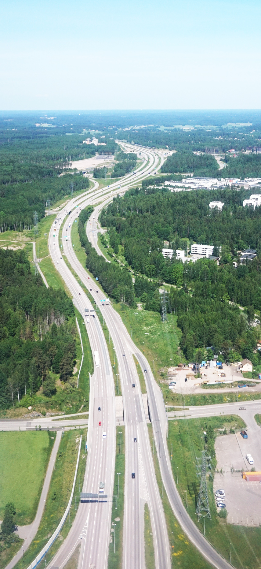
E 311 is a European B class road in Netherlands, connecting the cities of Utrecht and Breda. * **Utrecht **Breda (Ginneken en Bavel) Highway connections The E 311 has a total length of 99.3 kilometres, and serves as the connector between the E 30 and the E 19 (E 312). From north to south the following highways share junctions with the E 311: *European route E30, (Highways 12 and 27) - Lunetten (Utrecht) *European route E35, (Highway 12) - Lunetten *European route E25, (Highway 2) - Everdingen *European route E31, (Highway 15) - Gorinchem *National road network (Netherlands), (Highway 59) - Hooipolder *European route E312, (Highway 58) - Sint Annabosch The entire route is constructed as a motorway A controlled-access highway is a type of highway that has been designed for high-speed vehicular traffic, with all traffic flow—ingress and egress—regulated. Common English terms are freeway, motorway and expressway. Other similar terms ... and is part of Highway 2 ... [...More Info...] [...Related Items...] OR: [Wikipedia] [Google] [Baidu] |
Utrecht
Utrecht ( , , ) is the fourth-largest city and a municipality of the Netherlands, capital and most populous city of the province of Utrecht. It is located in the eastern corner of the Randstad conurbation, in the very centre of mainland Netherlands, about 35 km south east of the capital Amsterdam and 45 km north east of Rotterdam. It has a population of 361,966 as of 1 December 2021. Utrecht's ancient city centre features many buildings and structures, several dating as far back as the High Middle Ages. It has been the religious centre of the Netherlands since the 8th century. It was the most important city in the Netherlands until the Dutch Golden Age, when it was surpassed by Amsterdam as the country's cultural centre and most populous city. Utrecht is home to Utrecht University, the largest university in the Netherlands, as well as several other institutions of higher education. Due to its central position within the country, it is an important hub for both rail and road t ... [...More Info...] [...Related Items...] OR: [Wikipedia] [Google] [Baidu] |
Netherlands
) , anthem = ( en, "William of Nassau") , image_map = , map_caption = , subdivision_type = Sovereign state , subdivision_name = Kingdom of the Netherlands , established_title = Before independence , established_date = Spanish Netherlands , established_title2 = Act of Abjuration , established_date2 = 26 July 1581 , established_title3 = Peace of Münster , established_date3 = 30 January 1648 , established_title4 = Kingdom established , established_date4 = 16 March 1815 , established_title5 = Liberation Day (Netherlands), Liberation Day , established_date5 = 5 May 1945 , established_title6 = Charter for the Kingdom of the Netherlands, Kingdom Charter , established_date6 = 15 December 1954 , established_title7 = Dissolution of the Netherlands Antilles, Caribbean reorganisation , established_date7 = 10 October 2010 , official_languages = Dutch language, Dutch , languages_type = Regional languages , languages_sub = yes , languages = , languages2_type = Reco ... [...More Info...] [...Related Items...] OR: [Wikipedia] [Google] [Baidu] |
Ginneken En Bavel
Ginneken en Bavel was a municipality in the Dutch province of North Brabant, located southeast of the city of Breda. It covered the villages of Ginneken (now a neighbourhood of Breda) and Bavel. Ginneken en Bavel existed until 1942, when the village of Ginneken was transferred to Breda, and the other part of the area became a new municipality called Nieuw-Ginneken Nieuw-Ginneken was a municipality in the Dutch province of North Brabant, located southeast of the city of Breda. It was created in 1942 from part of the municipality of Ginneken en Bavel, and existed until 1997 when its parts north of the A58 mo .... References Former municipalities of North Brabant Alphen-Chaam History of Breda {{NorthBrabant-geo-stub ... [...More Info...] [...Related Items...] OR: [Wikipedia] [Google] [Baidu] |
Breda
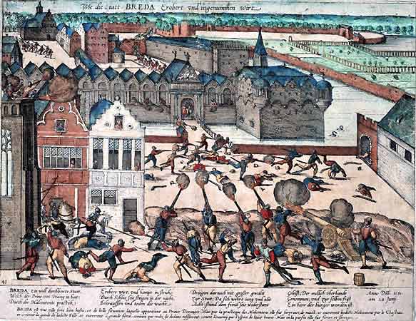
Breda () is a city and municipality in the southern part of the Netherlands, located in the province of North Brabant. The name derived from ''brede Aa'' ('wide Aa' or 'broad Aa') and refers to the confluence of the rivers Mark and Aa. Breda has 185,072 inhabitants on 13 September 2022 and is part of the Brabantse Stedenrij; it is the ninth largest city/municipality in the country, and the third largest in North Brabant after Eindhoven and Tilburg. It is equidistant between Rotterdam and Antwerp. As a fortified city, it was of strategic military and political significance. Although a direct Fiefdom of the Holy Roman Emperor, the city obtained a municipal charter; the acquisition of Breda, through marriage, by the House of Nassau ensured that Breda would be at the centre of political and social life in the Low Countries. Breda had a population of in ; the metropolitan area had a population of . History In the 11th century, Breda was a direct fief of the Holy Rom ... [...More Info...] [...Related Items...] OR: [Wikipedia] [Google] [Baidu] |
Motorway
A controlled-access highway is a type of highway that has been designed for high-speed vehicular traffic, with all traffic flow—ingress and egress—regulated. Common English terms are freeway, motorway and expressway. Other similar terms include ''throughway'' and '' parkway''. Some of these may be limited-access highways, although this term can also refer to a class of highways with somewhat less isolation from other traffic. In countries following the Vienna convention, the motorway qualification implies that walking and parking are forbidden. A fully controlled-access highway provides an unhindered flow of traffic, with no traffic signals, intersections or property access. They are free of any at-grade crossings with other roads, railways, or pedestrian paths, which are instead carried by overpasses and underpasses. Entrances and exits to the highway are provided at interchanges by slip roads (ramps), which allow for speed changes between the highway and arteri ... [...More Info...] [...Related Items...] OR: [Wikipedia] [Google] [Baidu] |
International E-road Network
The international E-road network is a numbering system for roads in Europe developed by the United Nations Economic Commission for Europe, United Nations Economic Commission for Europe (UNECE). The network is numbered from E1 up and its roads cross national borders. It also reaches Central Asian countries like Kyrgyzstan, since they are members of the UNECE. Main international traffic arteries in Europe are defined by ECE/TRANS/SC.1/2016/3/Rev.1 which consider three types of roads: motorways, Limited-access road, limited access roads, and ordinary roads. In most countries, the roads carry the European route designation alongside national designations. Belgium, Norway and Sweden have roads which only have the European route designations (examples: European route E18, E18 and European route E6, E6). The United Kingdom, Iceland and Albania only use national road designations and do not show the European designations at all. Ukraine does not number its routes at all except in int ... [...More Info...] [...Related Items...] OR: [Wikipedia] [Google] [Baidu] |
European Routes In The Netherlands
European, or Europeans, or Europeneans, may refer to: In general * ''European'', an adjective referring to something of, from, or related to Europe ** Ethnic groups in Europe ** Demographics of Europe ** European cuisine European cuisine comprises the cuisines of Europe "European Cuisine." [...More Info...] [...Related Items...] OR: [Wikipedia] [Google] [Baidu] |
Motorways In North Brabant
A controlled-access highway is a type of highway that has been designed for high-speed vehicular traffic, with all traffic flow—ingress and egress—regulated. Common English terms are freeway, motorway and expressway. Other similar terms include ''throughway'' and ''parkway''. Some of these may be limited-access highways, although this term can also refer to a class of highways with somewhat less isolation from other traffic. In countries following the Vienna convention, the motorway qualification implies that walking and parking are forbidden. A fully controlled-access highway provides an unhindered flow of traffic, with no traffic signals, intersections or property access. They are free of any at-grade crossings with other roads, railways, or pedestrian paths, which are instead carried by overpasses and underpasses. Entrances and exits to the highway are provided at interchanges by slip roads (ramps), which allow for speed changes between the highway and arterials a ... [...More Info...] [...Related Items...] OR: [Wikipedia] [Google] [Baidu] |
Transport In Breda
Transport (in British English), or transportation (in American English), is the intentional movement of humans, animals, and goods from one location to another. Modes of transport include air, land ( rail and road), water, cable, pipeline, and space. The field can be divided into infrastructure, vehicles, and operations. Transport enables human trade, which is essential for the development of civilizations. Transport infrastructure consists of both fixed installations, including roads, railways, airways, waterways, canals, and pipelines, and terminals such as airports, railway stations, bus stations, warehouses, trucking terminals, refueling depots (including fueling docks and fuel stations), and seaports. Terminals may be used both for interchange of passengers and cargo and for maintenance. Means of transport are any of the different kinds of transport facilities used to carry people or cargo. They may include vehicles, riding animals, and pack animals. Vehicles may ... [...More Info...] [...Related Items...] OR: [Wikipedia] [Google] [Baidu] |
.jpg)


