|
Erode Ring Road
The Outer Ring Road is a long semi ring road laid around the South Indian city of Erode in Tamil Nadu. It also acts as a southern Bypass to Erode and connects the suburban areas in Namakkal district with the city core areas. The state government of Tamil Nadu has sanctioned the project in 2006, with a funding of 85 crore, with a land acquisition of 180 acres. Among which, 30 crore will be given as compensation for 120 acres of private patta land. Traffic in the City Erode, being the district headquarters and a major marketing hub in the region, has an extensive network of radial roads originating from core city and the growth of the city is along these transport corridors. This results in the rapid increase in traffic congestion inside the core city. Also, the number of trucks entering the city is significantly high. The narrow and congested city roads does not cater to the increasing traffic needs. This paved the need for developing better road infrastructure for vehicles tr ... [...More Info...] [...Related Items...] OR: [Wikipedia] [Google] [Baidu] |
Kokkarayanpettai
Kokkarayanpet is a village in Namakkal district of Tamil Nadu, India India, officially the Republic of India (Hindi: ), is a country in South Asia. It is the seventh-largest country by area, the second-most populous country, and the most populous democracy in the world. Bounded by the Indian Ocean on the so .... According to the 2001 census it had a population of 5,628. References Cities and towns in Namakkal district {{Namakkal-geo-stub ... [...More Info...] [...Related Items...] OR: [Wikipedia] [Google] [Baidu] |
Nasiyanur
Nasiyanur is a panchayat town located adjoining the city of Erode in Erode district in the Indian state of Tamil Nadu. It is located on National Highway NH 544 between Perundurai and Chithode Chithode or Chittode is a panchayat town adjoining Erode City in the state of Tamil Nadu, India. It is situated on the National Highway 47 between Coimbatore and Salem at the junction of Erode- Sathy-Mysore highway. Demographics India census, .... Demographics India census, Nasiyanur had a population of 9,902. Males constitute 51% of the population and females 49%. Nasiyanur has an average literacy rate of 60%, higher than the national average of 59.5%: male literacy is 71%, and female literacy is 50%. In Nasiyanur, 9% of the population is under 6 years of age. Nasiyanur is an evergreen place. The main occupation is agriculture, followed by textiles and then poultry. See also * TexValley * ETMA Turmeric Market Complex References Cities and towns in Erode district {{Erod ... [...More Info...] [...Related Items...] OR: [Wikipedia] [Google] [Baidu] |
Sankagiri
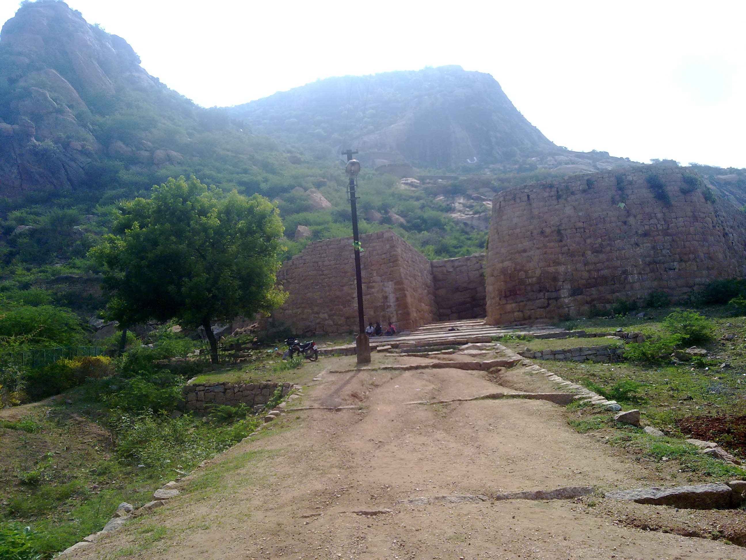
Sangagiri or Sankagiri is a panchayat town in Salem district in the Indian state of Tamil Nadu. It is situated on the National Highway 544, on the Coimbatore - Salem section. Sangagiri is known for Sangagiri fort, lorries and lorry building industries. It is the headquarters of Sangagiri revenue district comprising Edappadi. It is also headquarters of Sangagiri educational district. Etymology Sangagiri, pronounced as San-ga-giri in Tamil. Sangu means conch and Giri means hill. History In sangam age, Sangagiri was comes under Mazhanadu. It was also called as Kundrathur. Sangagiri Fort was built in the 15th century by the Vijayanagar empire. It was later under the control of Dheeran Chinnamalai and Tippu Sultan before the British annexed it to their territory. Dheeran Chinnamalai was hanged by the British at Sangagiri Fort on 31 July 1805. The fort later served as a British tax storage facility for Kongu Nadu and the town developed around it. Geography Demographic ... [...More Info...] [...Related Items...] OR: [Wikipedia] [Google] [Baidu] |
Pallipalayam
Pallipalayam is a Municipality in Namakkal district in Komarapalayam taluk in the Indian state of Tamil Nadu. It is the headquarter of the Pallipalayam block As of 2011, the town had a population of 40,140. It is Twin city of Erode and shares its Pincode with Erode. Geography It is located on one side of River Cauvery, while Erode is on the other side. It is located at 6 km from ''Erode Junction'' and 5 km from Erode Bus Station and 60 km from the south of '' Salem''. Pallipalayam Town is located along (Erode-Tiruchengode), (Erode-Kumarapalayam) and (Erode-Sankagiri) State Highways. This town is surrounded in the north by Pallipalayam Agrharam and in the south by Pudupalayam Village Panchayat, Alampalayam Village Panchayat forms the physical boundaries of Pallipalayam in eastern directions and Erode Municipal Corporation forms the boundary along western side. Pallipalayam gets rainfall during both South West and North East monsoon winds. During this season th ... [...More Info...] [...Related Items...] OR: [Wikipedia] [Google] [Baidu] |
Kaveri
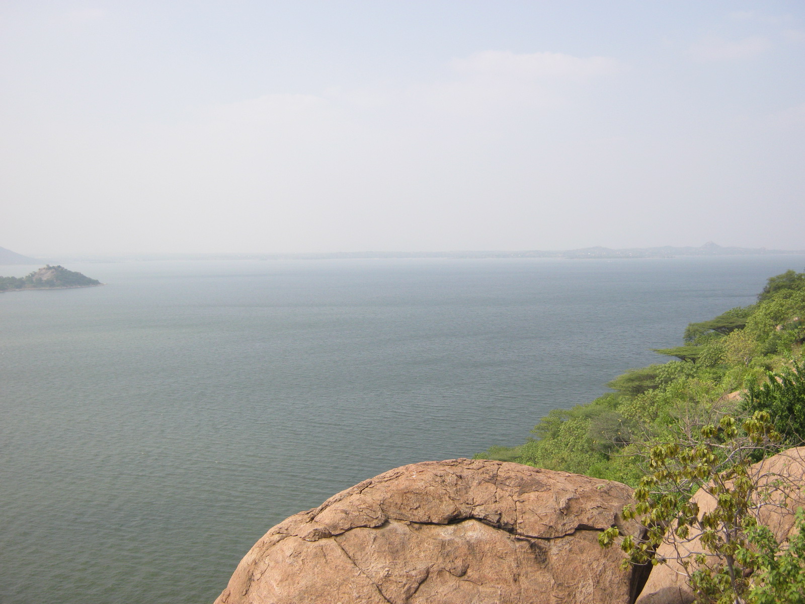
The Kaveri (also known as Cauvery, the anglicized name) is one of the major Indian rivers flowing through the states of Karnataka and Tamil Nadu. The Kaveri river rises at Talakaveri in the Brahmagiri range in the Western Ghats, Kodagu district of the state of Karnataka, at an elevation of 1,341 m above mean sea level and flows for about 800 km before its outfall into the Bay of Bengal. It reaches the sea in Poompuhar in Mayiladuthurai district. It is the third largest river after Godavari and Krishna in southern India, and the largest in the State of Tamil Nadu, which, on its course, bisects the state into north and south. In ancient Tamil literature, the river was also called Ponni (the golden maid, in reference to the fine silt it deposits). The Kaveri is a sacred river to the people of South India and is worshipped as the Goddess Kaveriamma (Mother Cauvery). It is considered to be among the seven holy rivers of India. It is extensively used for agriculture in bo ... [...More Info...] [...Related Items...] OR: [Wikipedia] [Google] [Baidu] |
Bhavani, Erode
Bhavani is a Municipality in Erode District, Tamil Nadu, India. It is located at the northern periphery of Erode City Municipal Corporation and is around from Coimbatore and from Tiruppur and Salem. Bhavani is also known as "Carpet City" as it is known for its carpet industry; blankets and carpets manufactured in the town are known as Bhavani Jamakkalam. As of 2011, the town covers an area of and has a population of 39,225. It is a grade II municipality. Bhavani is located 12 km from Erode Central and north of Erode Junction. The Mettur Dam, which creates the Stanley Reservoir, is from Bhavani. Sangameswarar Temple, one of the seven holy Shiva shrines of the Kongu Nadu, is located in Bhavani near the confluence of the rivers. The temple serves 18 villages surrounding the town. The Kooduthurai is the confluence of rivers Cauvery, Bhavani and invisible divine Amudha. And near urachikottai, Jeeva samadhi of vallalar follower "Arul annai" is present. Geography ... [...More Info...] [...Related Items...] OR: [Wikipedia] [Google] [Baidu] |
Kokkarayanpet
Kokkarayanpet is a village in Namakkal district of Tamil Nadu, India India, officially the Republic of India (Hindi: ), is a country in South Asia. It is the seventh-largest country by area, the second-most populous country, and the most populous democracy in the world. Bounded by the Indian Ocean on the so .... According to the 2001 census it had a population of 5,628. References Cities and towns in Namakkal district {{Namakkal-geo-stub ... [...More Info...] [...Related Items...] OR: [Wikipedia] [Google] [Baidu] |
Komarapalayam
Komarapalayam is a textile town situated on the bank of the Cauvery river, Bhavani River of South India, and is a taluk of Namakkal District, Tamil Nadu, India. Komarapalayam is also called as Kumarapalayam. Komarapalayam and Bhavani are twin cities separated by the Cauvery river. However, Bhavani belongs to Erode district. Komarapalayam is famous for its textile industries; also Kumarapalayam is famous for traditional leather chappals. As of 2011, the town had a population of 71,594. Some of the native people call it as Guberapuri due to high industrial production. Municipal administration In 1978, Kumarapalayam town was upgraded from the status of town Panchayat to Municipality and is now a taluk. It has a population of 71,594 and an extent of 7.10 km2., as per Survey and Land records. The town is divided into 33 wards. The Municipal Council, composed of 33 ward councillors, is headed by a chairperson who is elected by voters of the town. The councillors elect a Vice-C ... [...More Info...] [...Related Items...] OR: [Wikipedia] [Google] [Baidu] |
Perundurai Road, Erode
Perundurai Road is one of the major arterial roads in the city of Erode in India. Running from East to West of the city, the road starts from Amma Flyover near Thanthai Periyar Government Hospital and terminates near the western suburb Perundurai. This 17 km stretch of this road further extends to the west connecting SIPCOT Industrial Park and enables further connectivity to Coimbatore and Kochi as NH 544. The commercial and residential establishments along this road make it as the growth identifier of Erode, forecasting the development towards the west. The width of the road is making it four-lane to most of the stretch while few km near the western end is wider to six-lane carriageway. Important places and Landmarks * GH Flyover * Kalingarayan Bungalow * District Collector's Office * Reliance Hyper Mall * Erode West MLA Office * Thindal Murugan Temple * Vellalar College for Women * Kongu Arts and Science College * Nandha Engineering College * Erode Rural Sub-division Pol ... [...More Info...] [...Related Items...] OR: [Wikipedia] [Google] [Baidu] |
State Highway 173 (Tamil Nadu)
State Highway 173 runs entirely inside the Erode district in the South Indian state of Tamil Nadu, India. It connects the city of Erode with Thingalur. Route The highway passes through Nasiyanur, Pethampalayam and Nallampatti extending to a length of 26 km. Major junctions * State Highway 96 at Erode * Erode Ring Road (MDR-62) at Villarasampatti * National Highway NH-544 (Old NH-47) at Perundurai Perundurai is a Special Grade Town Panchayat in Erode district in the Indian state of Tamil Nadu. Perundurai is the only special grade town panchayat among 42 in the district. Perundurai has developed as the industrial center with SIPCOT Indus ... References State highways in Tamil Nadu Transport in Erode {{India-road-stub ... [...More Info...] [...Related Items...] OR: [Wikipedia] [Google] [Baidu] |
State Highway 20 (Tamil Nadu)
State Highway 20 is a state highway connecting Erode and Thoppur in the South Indian state of Tamil Nadu. It has a total length of . The road is maintained by funds received from the World Bank. It is used as an alternate route to Krishnagiri and Dharmapuri. Major junctions * State Highway 79 at Erode * State Highway 15 at Erode * Erode Ring Road (MDR-62) at BP Agraharam, Erode * National Highway NH-544 (Old NH-47) at Lakshmi Nagar, Erode * State Highway 82 at Bhavani * National Highway NH-44 (Old NH-7) at Thoppur Thoppur(தொப்பூர்) or Thoppur Ghat(தொப்பூர் கணவாய்) is a hill town in Dharmapuri district of Tamil Nadu, India.It lies between the city of Salem and the city of Dharmapuri on National Highway 44, at ... References State highways in Tamil Nadu {{india-road-stub ... [...More Info...] [...Related Items...] OR: [Wikipedia] [Google] [Baidu] |


