|
Emirgan 04325
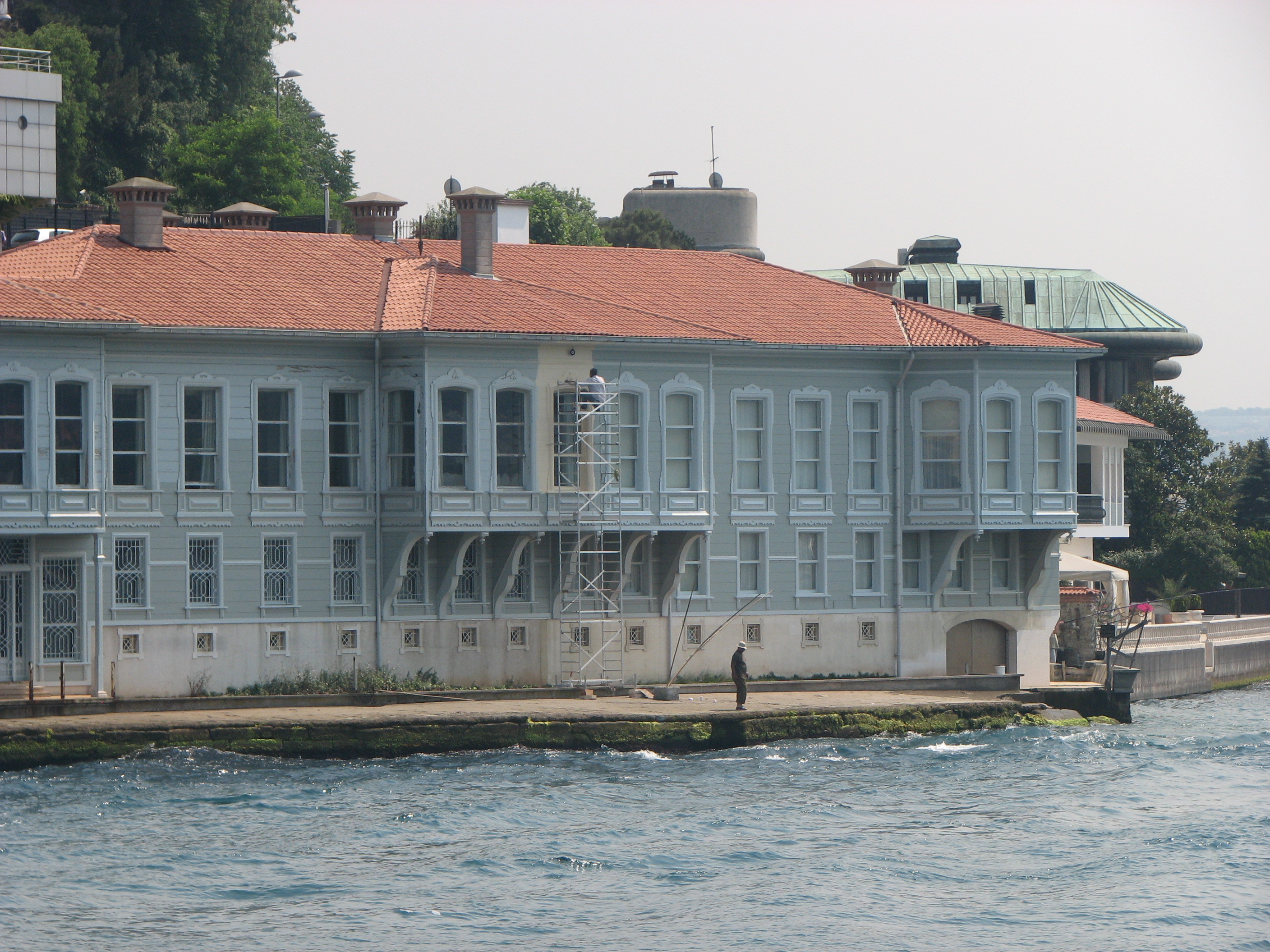
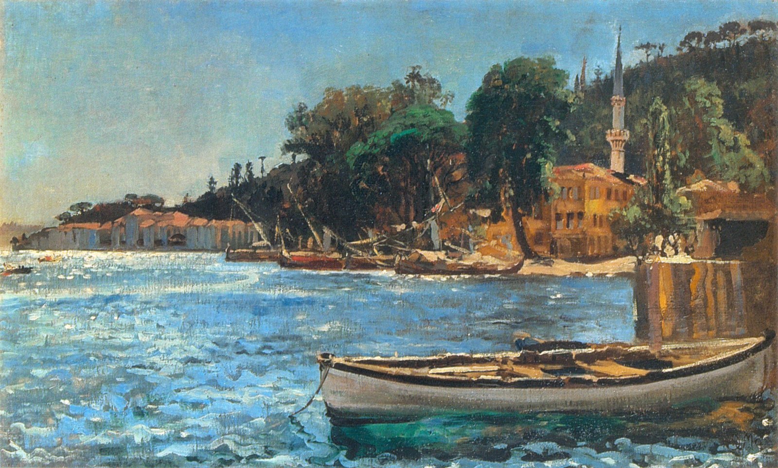
Emirgan is a leafy, middle-class suburb of Istanbul, Turkey, on the western shore of the Bosphorus in the Sarıyer district north of the Fatih Sultan Mehmet Bridge (Second Bosphorus Bridge). The name commemorates a friendship that eventually turned sour. In 1635 the Iranian Emir Güne Han surrendered Yerevan to Sultan Murad IV in return for which the sultan took him to Istanbul, renamed him Yusuf Paşa and gave him a huge expanse of woodland that is now a public park. Unfortunately once Murad died his successor Sultan Ibrahim the Mad had Yusuf put to death. Later Sultan Abdülaziz gave the woods to the Khedive of Egypt, Ismail Paşa, who added three pavilions to the grounds. City bus lines #22, #22RE, #25E, #40T and #42T stop in Emirgan. InfrequenŞehir Hatlarıferries connect Emirgan with Eminönü, Beşiktaş, Arnavutköy, Bebek, İstinye, Büyükdere, Sarıyer and Rumeli Kavağı. A separate ferry service links it to Çengelköy, Kandilli, Anadolu Hisarı and Kanlıca. S ... [...More Info...] [...Related Items...] OR: [Wikipedia] [Google] [Baidu] |
Emirgan Park
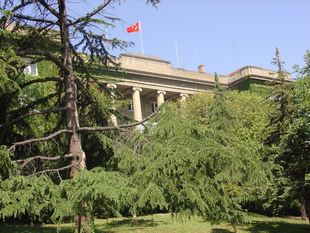
The Emirgan Park ( tr, Emirgan Korusu or rarely ''Emirgan Parkı'') is a historical urban park located at the Emirgan neighbourhood in the Sarıyer district of Istanbul, Turkey, on the European coast of the Bosphorus. It is one of the largest public parks in Istanbul. History In the Byzantine era, the entire area where today the park stretches was covered with cypress trees and known as "Kyparades" or "Cypress Forest". It became known as "Feridun Bey Park", when the uninhabited land was granted in the mid-16th century to Nişancı Feridun Bey, a Lord Chancellor in rank in the Ottoman Empire. In the 17th century, Ottoman Sultan Murad IV (reigned 1623-1640) presented the estate to Emir Gûne Han, a Safavid Persian commander, who surrendered his sieged castle without any resistance, and followed him back to Constantinople (now Istanbul). The name "Feridun Bey Park" was changed to "Emirgûne", which in time became corrupted to "Emirgan". During the centuries, the estate's owner ch ... [...More Info...] [...Related Items...] OR: [Wikipedia] [Google] [Baidu] |
Bosphorus
The Bosporus Strait (; grc, Βόσπορος ; tr, İstanbul Boğazı 'Istanbul strait', colloquially ''Boğaz'') or Bosphorus Strait is a natural strait and an internationally significant waterway located in Istanbul in northwestern Turkey. It forms part of the continental boundary between Asia and Europe, and divides Turkey by separating Anatolia from Thrace. It is the world's narrowest strait used for international navigation. Most of the shores of the Bosporus Strait, except for the area to the north, are heavily settled, with the city of Istanbul's metropolitan population of 17 million inhabitants extending inland from both banks. The Bosporus Strait and the Dardanelles Strait at the opposite end of the Sea of Marmara are together known as the Turkish Straits. Sections of the shore of the Bosporus in Istanbul have been reinforced with concrete or rubble and those sections of the Strait prone to deposition are periodically dredged. Name The name of the ... [...More Info...] [...Related Items...] OR: [Wikipedia] [Google] [Baidu] |
Isma'il Pasha
Isma'il Pasha ( ar, إسماعيل باشا ; 12 January 1830 – 2 March 1895), was the Khedive of Egypt and conqueror of Sudan from 1863 to 1879, when he was removed at the behest of Great Britain. Sharing the ambitious outlook of his grandfather, Muhammad Ali Pasha, he greatly modernized Egypt and Sudan during his reign, investing heavily in industrial and economic development, urbanization, and the expansion of the country's boundaries in Africa. His philosophy can be glimpsed in a statement that he made in 1879: "My country is not longer only in Africa; we are now part of Europe, too. It is therefore natural for us to abandon our former ways and to adopt a new system adapted to our social conditions". In 1867 he also secured Ottoman and international recognition for his title of '' Khedive'' (Viceroy) in preference to '' Wāli'' (Governor) which was previously used by his predecessors in the Eyalet of Egypt and Sudan (1517–1867). However, Isma'il's policies placed ... [...More Info...] [...Related Items...] OR: [Wikipedia] [Google] [Baidu] |
Kanlıca
Kanlıca is a neighbourhood on the Asian side of the Bosphorus strait, in the Beykoz district of Istanbul Province, Turkey. It is known for a yogurt sprinkled with caster sugar, which is sold in local cafés, ibcluding thİsmailağa Kahvesiwhich has a small museum commemorating famous visitors of the past. Location The Bülbül Creek empties into the Bosphorus at Kanlıca Bay. The Mihrabat Nature Park is situated south of Kanlıca, north of Bülbül Creek. The İskender Pasha Mosque, commissioned by (military judge) Kazasker Gazi İskender Pasha and originally built by Mimar Sinan in 1559–60, is located inland from Kanlıca Pier. The tomb of İskender Pasha is attached to the old timekeeper's lodge.The mosque has since been rebuilt so that no trace of the Sinan work survives. The Kanlıca Cemetery is on the hill east of the locality overlooking the Bosphorus. Notable burials of the cemetery include journalist Sedat Simavi, the musicians Barış Manço and Kayahan Açar. Kan ... [...More Info...] [...Related Items...] OR: [Wikipedia] [Google] [Baidu] |
Anadoluhisarı
Anadoluhisarı ( en, Anatolian Castle), known historically as Güzelce Hisar ("the Beauteous Castle") is a medieval Ottoman fortress located in Istanbul, Turkey on the Anatolian (Asian) side of the Bosporus. The complex is the oldest surviving Turkish architectural structure built in Istanbul, and further gives its name to the neighborhood around it in the city's Beykoz district. History Anadoluhisarı was built between 1393 and 1394 on the commission of the Ottoman Sultan Bayezid I, as part of his preparations for a siege on the then-Byzantine city of Constantinople. Constructed on an area of , the fortress is situated at the narrowmost point of the Bosporus, where the strait is a mere wide. The site is bound by Göksu ( grc, Aretòs) creek to the south, and was previously home to the ruins of a Roman temple dedicated to Uranus. Erected primarily as a watch fort, the citadel has a tall, quadratic main tower within the walls of an irregular pentagon, with five watchtowers ... [...More Info...] [...Related Items...] OR: [Wikipedia] [Google] [Baidu] |
Kandilli, Üsküdar
Kandilli is a neighbourhood of Üsküdar, Istanbul, Turkey. It lies on the Asian bank of Bosphorus and is home to some of Istanbul's in-city forests. The Kandilli Anatolian High School for Girls ( tr, Kandilli Anadolu Kız Lisesi) was one of the first girl's high schools in Ottoman Turkey. The Kandilli Observatory, a facility of Boğaziçi University, is dedicated mostly to earthquake science. The Kandilli Earthquake Museum is located within the campus. The historical waterfront Vaniköy Mosque at , founded in honor of Vani Mehmet Efendi, an ethnic Kurdish pasha from Van, was built in 1670 during the Ottoman period The Ottoman Empire, * ; is an archaic version. The definite article forms and were synonymous * and el, Оθωμανική Αυτοκρατορία, Othōmanikē Avtokratoria, label=none * info page on book at Martin Luther University) .... The mosque was badly damaged by fire on 15 November 2020, caused by a short circuit. References {{Istanbul-geo ... [...More Info...] [...Related Items...] OR: [Wikipedia] [Google] [Baidu] |
Çengelköy
Çengelköy is a neighborhood in the Üsküdar district on the Asian shore of the Bosphorus strait in Istanbul, Turkey, between the neighborhoods of Beylerbeyi and Kuleli. It is mainly a residential district. Many mansions were built there in the Ottoman period. From the 6th century, the port of Çengelköy was called ''Sophianai'' because of the palace Justin II built nearby for his consort Sophia. The name ''Çengelköy'' means "hook village" and indeed the village is nestled around a sharp turn of the Bosphorus shoreline, but the origin of the name is uncertain. One story put forward is that the village is named after the 19th-century Ottoman admiral Çengeloğlu Tahir Pasha, who had a waterside mansion built there (and there is a Çengeloğlu Street in Çengelköy). Another story derives the name from the Persian word ''çenkar'', "crab," because of the abundance of seafood in the Bosphorus there. A 16th-century Ottoman document apparently refers to the place as "Çenge ... [...More Info...] [...Related Items...] OR: [Wikipedia] [Google] [Baidu] |
Rumelikavağı
Rumelikavağı, also known as Rumeli Kavağı, is a neighborhood of Sarıyer district in İstanbul Province, Turkey. "Rumeli" is the Turkish name for Thrace, and "Kavak" means "control post" in Ottoman Turkish referring to the strategic position of the location on the Bosporous. The ferry pier which is the center of the neighborhood is at Formerly, it was a small fishing village. In the 17th century, a castle was built to check Cossack naval assaults from the Black Sea. In 1877, during the Russo-Turkish War (1877-1878), a part of the immigrants from the Russian occupied provinces settled in Rumelikavağı. Up until the 1960s, most of Rumelikavağı was a restricted zone by military. There are many places of interest in Rumelikavağı, such as ruins of medieval castles, mosques, churches, fountains, hamams etc. The Yavuz Sultan Selim Bridge over the Bosphorus is to the north of the neighborhood. See also *Yoros Castle *Istanbul *Turkey *Byzantine Empire *Republic of Genoa *Otto ... [...More Info...] [...Related Items...] OR: [Wikipedia] [Google] [Baidu] |
Büyükdere, Sarıyer
Büyükdere is a neighbourhood of Sarıyer district in Istanbul, Turkey. It is situated on the European shore of the Bosphorus strait about southwest of Sarıyer. Its name means 'big stream' in Turkish, in reference to the river that used to flow into the Bosphorus here. A major road, Büyükdere Avenue, starts south of Büyükdere, and runs inland as far as Şişli. In the 19th century Büyükdere, like neighbouring Tarabya, was a popular summer retreat for members of Istanbul's foreign and diplomatic community and it still has several churches and embassy buildings dating back to that period. There was then a Büyükdere ferry terminal but although it has been restored it has not been put back into use (partly because of the road that was built in front of it on reclaimed land), meaning that most access to the neighbourhood is by bus along the coast road. Places of interest The Sadberk Hanım Museum, a private archaeology and ethnography museum, is housed in what started li ... [...More Info...] [...Related Items...] OR: [Wikipedia] [Google] [Baidu] |
İstinye
İstinye is a neighbourhood in Istanbul, Turkey, on the European side of the city. It is located in the district of Sarıyer, between the neighbourhoods of Emirgan and Yeniköy, on the northwestern shore of the Bosporus strait. It is one of the finest seashore locations on the Bosporus where people walk around during the weekends. İstinye is famous for its cafés and seafood restaurants. A small bay is also among the things that make İstinye a preferred location to visit. In classical antiquity it was the site of a town called Lasthenes, which was later renamed as ''Leosthenion'' ( el, Λεωσθένιον), corrupted to ''Sosthenion'' ( el, Σωσθένιον) during the Middle Ages. The village was the site of the Michaelion, a famous church and monastery dedicated to St. Michael in Byzantine times. Since 1995, the headquarters of the Istanbul Stock Exchange is located in İstinye. Additionally, the neighbourhood is in close proximity to one of Istanbul's newest shopping ... [...More Info...] [...Related Items...] OR: [Wikipedia] [Google] [Baidu] |
Bebek, Beşiktaş
Bebek is a super-trendy upmarket Istanbul neighbourhood located on Bebek Bay on the European shore of the Bosphorus strait. It falls within the administrative boundaries of Beşiktaş district and is flanked by similarly affluent neighbourhoods such as Arnavutköy and Rumeli Hisarı. 'Bebek' means 'baby' in Turkish. Some believe its use as a name for this suburb comes from a shortened form of the term '''Boğaz'ın gözbebeği, which means 'pupil of the Bosphorus' or "the apple of the Bosphorus' eye" in Turkish. Others think it takes its name from the nickname for the handsome Mustafa Çelebi who was put in charge of this area after the Ottoman conquest of Constantinople in 1453. Yet others think it took its name from the Turkish expression meaning 'pretty as a baby'. Bebek has been a popular residential district since Ottoman times and its historic architecture sometimes recalls the lost cosmopolitanism of the past. Today it is best known for a string of see-and-be-se ... [...More Info...] [...Related Items...] OR: [Wikipedia] [Google] [Baidu] |
Arnavutköy
Arnavutköy ( Albanian village; el, Μέγα Ρεύμα, Mega Revma) is a neighbourhood in Istanbul, Turkey renowned for its wooden Ottoman mansions and seafood restaurants, as well as for the campus of the prestigious Robert College with its historic buildings. It is part of the Beşiktaş district of Istanbul, and is located between Ortaköy and Bebek on the European shoreline of the Bosphorus strait. The existence of a mosque, church and synagogue in close proximity to one another serves as a reminder of Arnavutköy's old, now lost, cosmopolitanism. The coast road is usually lined with anglers and small fishing boats frequently pass Arnavutköy; the fresh fish caught is sometimes sold to the local seafood restaurants. At the eastern end of Arnavutköy the coast juts out to form Akıntıburnu (the Cape of the Current) where the waters of the Bosphorus once flowed so powerfully that small boats had to be towed round it. Infrequent Şehir Hatları (City Lines) ferries call i ... [...More Info...] [...Related Items...] OR: [Wikipedia] [Google] [Baidu] |


