|
Elsava
Elsava is a right tributary of the Main (river), Main in the administrative districts Aschaffenburg and Miltenberg in the Bavarian Spessart. It flows into the river Main in Elsenfeld. The short section upstream from to Mespelbrunn is called Kaltenbach. Name The original name ''Elsapha'' is descended from the Old High German word ''Els'' for alder and the Indogermanic word ''Ap'' what meant water. As an explanation "watercourse surrounded by alders" arises from it. The river gave the municipality Elsenfeld the name. The river Aschaff flowing nearby (from ''Ascapha'' meaning "ash water") has also the same name origin. See also *List of rivers of Bavaria References Rivers of Bavaria Rivers of the Spessart Rivers of Germany {{Bavaria-river-stub ... [...More Info...] [...Related Items...] OR: [Wikipedia] [Google] [Baidu] |
Elsenfeld
Elsenfeld is a market community in the Miltenberg district in the ''Regierungsbezirk'' of Lower Franconia (''Unterfranken'') in Bavaria, Germany. It is located on the river Main between the hills of the Spessart, east of the river, and Odenwald, west of the river. Elsenfeld has a total population of around 9,000. Geography Location Elsenfeld lies in the "Bavarian Lower Main Region" (''Bayerischer Untermain'') on the Main's right bank. Running through the community is the brook Elsava, which empties into the Main at Elsenfeld. Subdivisions The community has the following ''Gemarkungen'' (traditional rural cadastral areas): Eichelsbach, Elsenfeld, Rück, Schippach and Himmelthal (formerly a monastery estate). Etymology The name Elsenfeld comes from the brook's name, Elsava, and means "Flowing Water on the Alder Ground". Until the late 17th century, the place was named Elsaffen or Elsava. The name Elsenfeld is only confirmed as far back as 1625. History The area around Elsenfeld ... [...More Info...] [...Related Items...] OR: [Wikipedia] [Google] [Baidu] |
List Of Rivers Of Bavaria
A list of rivers of Bavaria, Germany: A * Aalbach *Abens * Ach * Afferbach * Affinger Bach * Ailsbach *Aisch * Aiterach *Alpbach *Alster * Altmühl *Alz * Amper * Anlauter * Arbach * Arbachgraben *Aschaff * Aschbach * Attel * Aubach, tributary of the Elsava * Aubach, tributary of the Lohr * Aubach, tributary of the Schwabach * Auer Mühlbach * Auerbach *Aufseß * Aura * Aurach, tributary of the Rednitz * Aurach, tributary of the Regnitz in Middle Franconia * Aurach, tributary of the Regnitz in Upper Franconia * Autenbach B * Bachhaupter Laber * Bächlesbach * Bachmühlbach * Bachquellengraben * Bachwiesengraben *Banzerbach * Baunach *Bayerbacher Bach * Beibuschbach *Berchtesgadener Ache *Bessenbach * Betzenbach * Biber * Biberbach * Bibert * Bina * Blankenbach *Bolgenach * Bösbach *Brandenberger Ache * Braunau *Breitach * Breitbach * Breitenbach * Breitenbrunner Bach * Breitenbrunner Laber * Brend * Brenz * Brombach * Bruchbach * Bruckbach * Brunnbach * Brunnenbach * Brunnthaler ... [...More Info...] [...Related Items...] OR: [Wikipedia] [Google] [Baidu] |
Mespelbrunn
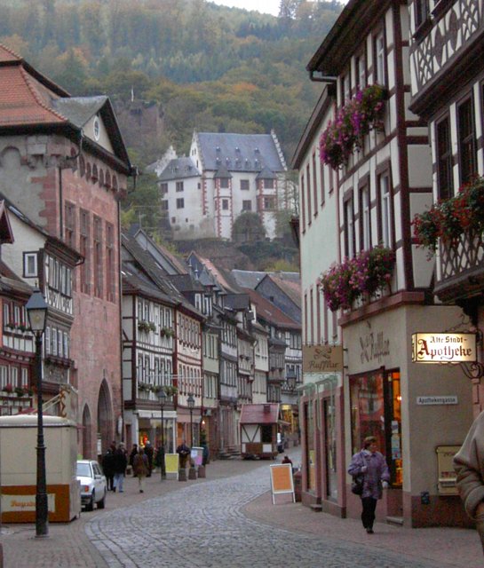
Mespelbrunn is a community in the Aschaffenburg (district), Aschaffenburg district in the ''Regierungsbezirk'' of Lower Franconia (''Unterfranken'') in Bavaria, Germany and a member of the ''Municipal association (Germany), Verwaltungsgemeinschaft'' (municipal association) of Mespelbrunn, whose seat is in Heimbuchenthal. It is the site of Mespelbrunn Castle, one of the most famous landmarks of the Spessart region, and of the ''Wallfahrtskirche Hessenthal'', for more than 700 years the destination of a Christian pilgrimage. Geography Location The community lies in the Spessart hill range, a ''Mittelgebirge''. Most of the houses are located in the valley of the Elsava, but the municipal territory extends into the wooded hills, especially to the east. Subdivision The community was formed out of the former municipalities of Hessenthal and Mespelbrunn. Today, it has three ''Ortsteile'' (:de:Hessenthal, Hessenthal, Mespelbrunn and ''Schloss Mespelbrunn'') on two ''Gemarkungen'' ( ... [...More Info...] [...Related Items...] OR: [Wikipedia] [Google] [Baidu] |
Rivers Of Bavaria
A river is a natural flowing watercourse, usually freshwater, flowing towards an ocean, sea, lake or another river. In some cases, a river flows into the ground and becomes dry at the end of its course without reaching another body of water. Small rivers can be referred to using names such as creek, brook, rivulet, and rill. There are no official definitions for the generic term river as applied to geographic features, although in some countries or communities a stream is defined by its size. Many names for small rivers are specific to geographic location; examples are "run" in some parts of the United States, "burn" in Scotland and northeast England, and "beck" in northern England. Sometimes a river is defined as being larger than a creek, but not always: the language is vague. Rivers are part of the water cycle. Water generally collects in a river from precipitation through a drainage basin from surface runoff and other sources such as groundwater recharge, springs, ... [...More Info...] [...Related Items...] OR: [Wikipedia] [Google] [Baidu] |
Aschaff
The Aschaff (in its uppermost course: ''Kleinaschaff'') is a river in the northern Spessart in Bavaria, Germany. It is a right tributary of the Main and is long. It begins at the Aschaffquelle near Waldaschaff. Loosely translated the name Aschaff means "ash water". The largest tributary is the Laufach. The river flows mostly parallel to the Bundesautobahn 3 (Motorway). For the construction of the noise barrier there, the river bed was moved and straightened. Now the Aschaff flows in the city of Aschaffenburg. It flows through the districts Damm and Strietwald. In Mainaschaff near the city limits of Aschaffenburg the Aschaff empties into the Main. Tributaries Tributaries from source to mouth: Left * Bessenbach * Nonnenbach * Klingengraben * Röderbach Right * Autenbach * Gogelgraben * Laufach * Güntersbach * Hösbach * Goldbach * Klingenbach * Glattbach * Lohmgraben Lohmgraben is a small river of Bavaria, Germany. It is formed by the confluence of two small st ... [...More Info...] [...Related Items...] OR: [Wikipedia] [Google] [Baidu] |
Indogermanic
The Indo-European languages are a language family native to the overwhelming majority of Europe, the Iranian plateau, and the northern Indian subcontinent. Some European languages of this family, English, French, Portuguese, Russian, Dutch, and Spanish, have expanded through colonialism in the modern period and are now spoken across several continents. The Indo-European family is divided into several branches or sub-families, of which there are eight groups with languages still alive today: Albanian, Armenian, Balto-Slavic, Celtic, Germanic, Hellenic, Indo-Iranian, and Italic; and another nine subdivisions that are now extinct. Today, the individual Indo-European languages with the most native speakers are English, Hindi–Urdu, Spanish, Bengali, French, Russian, Portuguese, German, and Punjabi, each with over 100 million native speakers; many others are small and in danger of extinction. In total, 46% of the world's population (3.2 billion people) speaks an Indo-Euro ... [...More Info...] [...Related Items...] OR: [Wikipedia] [Google] [Baidu] |
Alder
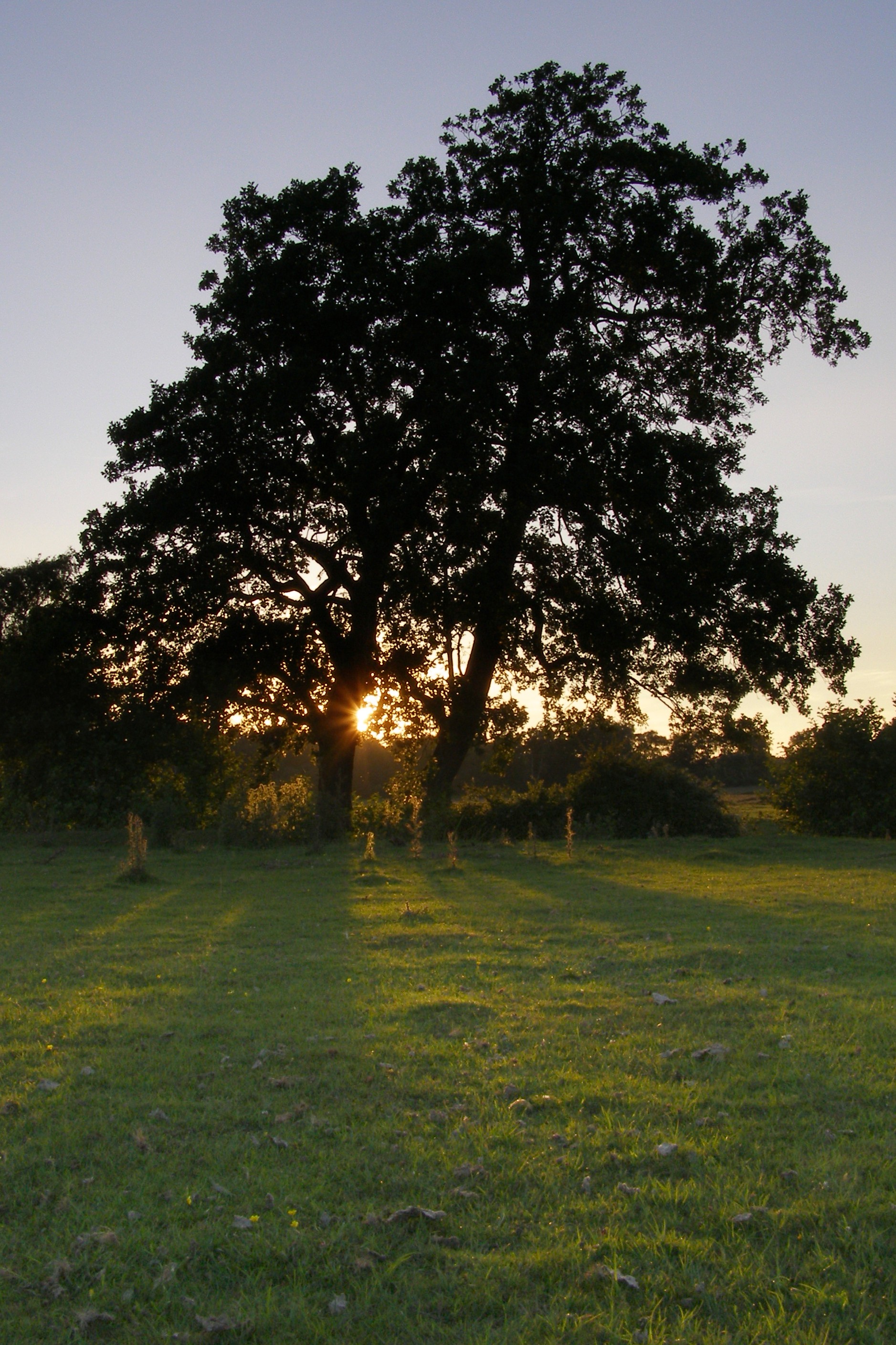
Alders are trees comprising the genus ''Alnus'' in the birch family Betulaceae. The genus comprises about 35 species of monoecious trees and shrubs, a few reaching a large size, distributed throughout the north temperate zone with a few species extending into Central America, as well as the northern and southern Andes. Description With a few exceptions, alders are deciduous, and the leaves are alternate, simple, and serrated. The flowers are catkins with elongate male catkins on the same plant as shorter female catkins, often before leaves appear; they are mainly wind-pollinated, but also visited by bees to a small extent. These trees differ from the birches (''Betula'', another genus in the family) in that the female catkins are woody and do not disintegrate at maturity, opening to release the seeds in a similar manner to many conifer cones. The largest species are red alder (''A. rubra'') on the west coast of North America, and black alder (''A. glutinosa''), native ... [...More Info...] [...Related Items...] OR: [Wikipedia] [Google] [Baidu] |
Old High German
Old High German (OHG; german: Althochdeutsch (Ahd.)) is the earliest stage of the German language, conventionally covering the period from around 750 to 1050. There is no standardised or supra-regional form of German at this period, and Old High German is an umbrella term for the group of continental West Germanic dialects which underwent the set of consonantal changes called the Second Sound Shift. At the start of this period, the main dialect areas belonged to largely independent tribal kingdoms, but by 788 the conquests of Charlemagne had brought all OHG dialect areas into a single polity. The period also saw the development of a stable linguistic border between German and Gallo-Romance, later French. The surviving OHG texts were all written in monastic scriptoria and, as a result, the overwhelming majority of them are religious in nature or, when secular, belong to the Latinate literary culture of Christianity. The earliest written texts in Old High German, glosses and i ... [...More Info...] [...Related Items...] OR: [Wikipedia] [Google] [Baidu] |
Spessart
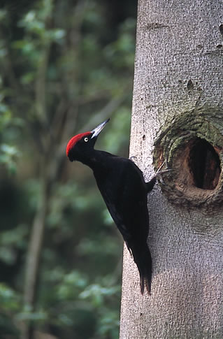
Spessart is a ''Mittelgebirge'', a range of low wooded mountains, in the States of Bavaria and Hesse in Germany. It is bordered by the Vogelsberg, Rhön and Odenwald. The highest elevation is the Geiersberg at 586 metres above sea level. Etymology The name is derived from "Spechtshardt". ''Specht'' is the German word for woodpecker and ''Hardt'' is an outdated word meaning "hilly forest". Geography Location The Spessart is a ''Mittelgebirge'', part of the German Central Uplands, located in the Lower Franconia region of Bavaria and in Hesse, Germany. It is bordered by other ranges of hills: the Vogelsberg in the north, Rhön in the northeast and Odenwald in the southwest. Another way of describing the extent of the range is by naming the rivers that border it: the Main in the south and west, the Kinzig in the north and the Sinn in the northeast. The area of the Spessart totals around 2,440 square kilometres, of which 1,710 square kilometres are part of Bavaria. The high ... [...More Info...] [...Related Items...] OR: [Wikipedia] [Google] [Baidu] |
Main (river)
The Main () is the longest tributary of the Rhine. It rises as the White Main in the Fichtel Mountains of northeastern Bavaria and flows west through central Germany for to meet the Rhine below Rüsselsheim, Hesse. The cities of Mainz and Wiesbaden are close to the confluence. The largest cities on the Main are Frankfurt am Main, Offenbach am Main and Würzburg. It is the longest river lying entirely in Germany (if the Weser-Werra are considered separate). Geography The Main flows through the north and north-west of the state of Bavaria then across southern Hesse; against the latter it demarcates a third state, Baden-Württemberg, east and west of Wertheim am Main, the northernmost town of that state. The upper end of its basin opposes that of the Danube where the watershed is recognised by natural biologists, sea salinity studies (and hydrology science more broadly) as the European Watershed. The Main begins near Kulmbach in Franconia at the joining of its two headst ... [...More Info...] [...Related Items...] OR: [Wikipedia] [Google] [Baidu] |
Miltenberg
Miltenberg () is a town in the ''Regierungsbezirk'' of Lower Franconia (''Unterfranken'') in Bavaria, Germany. It is the seat of the like-named district and has a population of over 9,000. Geography Location The old town lies on the Main’s left bank on the "left knee" of the ''Mainviereck'' ("Main Square") between the Spessart and Odenwald ranges. Since the Main riverbed in the Miltenberg area is relatively near the foot of the Odenwald, only a narrow strip of usable land is left, little over 150 meters in width, which in past centuries was time and again flooded by the Main. The historic centre, which stands on this land, often sustained considerable damage in these floods. Only in the 21st century efficient flood control measures, most of all a wall, have significantly reduced the adverse effects of these floods. Since about the beginning of the 20th century, after buying land from the neighbouring community of Großheubach, Miltenberg has been expanding on the right b ... [...More Info...] [...Related Items...] OR: [Wikipedia] [Google] [Baidu] |
Aschaffenburg
Aschaffenburg (; South Franconian: ''Aschebersch'') is a town in northwest Bavaria, Germany. The town of Aschaffenburg is not part of the district of Aschaffenburg, but is its administrative seat. Aschaffenburg belonged to the Archbishopric of Mainz for more than 800 years. The town is located at the westernmost border of Lower Franconia and separated from the central and eastern part of the ''Regierungsbezirk'' (administrative region) by the Spessart hills, whereas it opens towards the Rhine-Main plain in the west and north-west. Therefore, the inhabitants speak neither Bavarian nor East Franconian but rather a local version of Rhine Franconian. Geography Location The town is located on both sides of the Main in north-west Bavaria, bordering to Hesse. On a federal scale it is part of central Germany, just southeast of Frankfurt am Main. In the western part of the municipality, the smaller Aschaff flows into the Main. The region is also known as ''Bayerischer Untermain ... [...More Info...] [...Related Items...] OR: [Wikipedia] [Google] [Baidu] |


.jpg)


