|
Elkaduwa
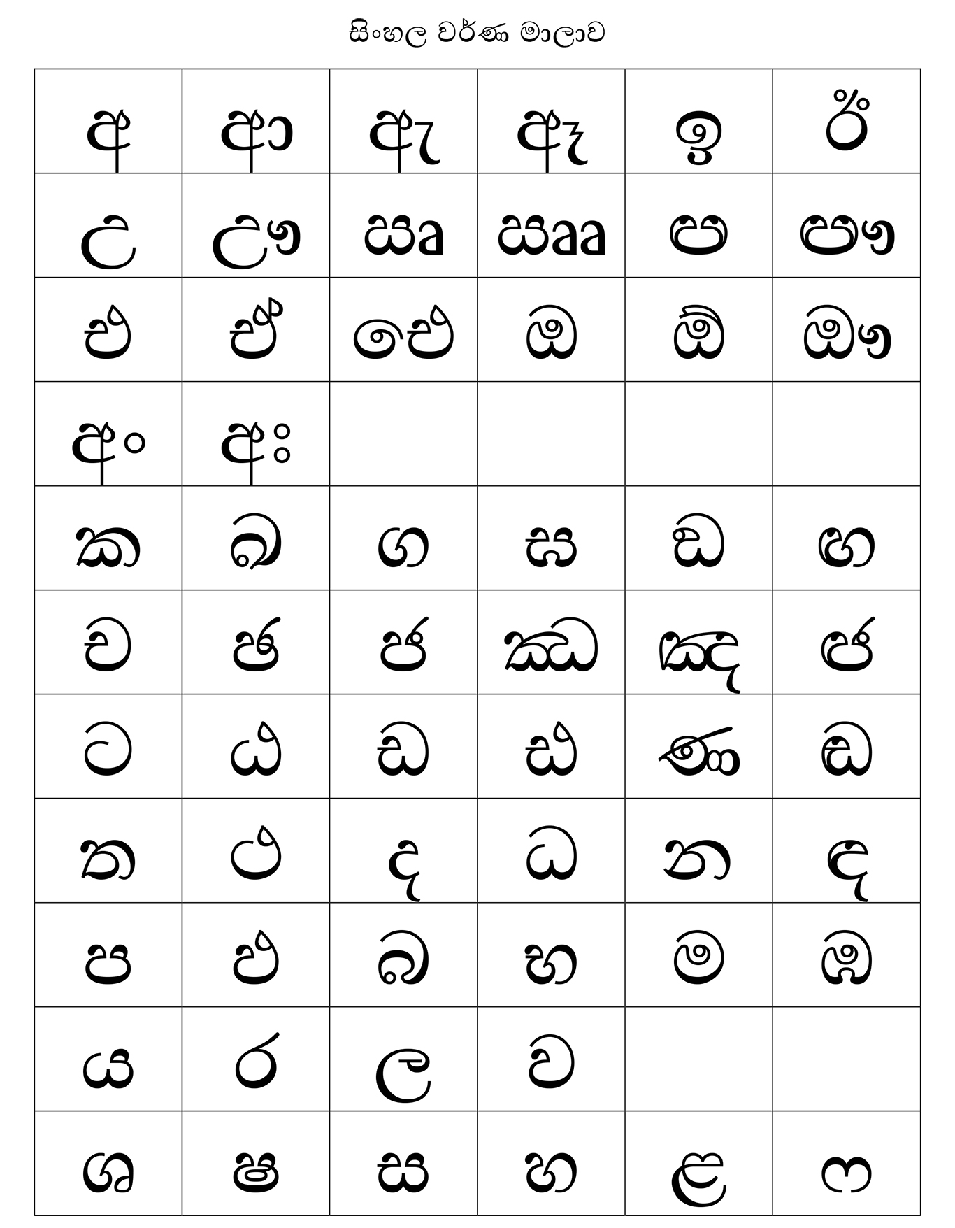
Elkaduwa ( Sinhalese language, sinhala:ඇල්කඩුව, Tamil language, Tamil:எல்கடுவ ) is a village in Sri Lanka. It is located within Matale District, Central Province, Sri Lanka, Central Province.There are two roads to reach Elkaduwa. One is from Ukuwela (Matale), the other one is from Wattegama (Kandy). Local Government Council Elkaduwa is governed by the Ukuwela Pradeshiya Sabha. tourist attractions *Sembuwatta *Hunnas Falls See also *List of towns in Central Province, Sri Lanka External links * Populated places in Matale District {{MataleDistrict-geo-stub ... [...More Info...] [...Related Items...] OR: [Wikipedia] [Google] [Baidu] |
Sembuwatta
Sembuwatta Lake ( sinhala: සෙම්ඹුවත්ත ) is a tourist attraction situated at Elkaduwa in the Matale District of Sri Lanka, adjacent to the Campbell's Lane Forest Reserve. Sembuwatta Lake is a man-made lake created from natural spring water. Alongside the lake is a natural swimming pool. Sembuwatta Lake is believed to be to deep. Currently the lake belongs to the Elkaduwa Plantations and produces electricity for the nearby villagers. The lake and surrounds were renovated by Radley Dissage, the Elkaduwa Plantations estate superintendent, who connected the lake to nearby water fountains. Rferences Reservoirs in Sri Lanka Populated places in Matale District Lakes of Sri Lanka {{MataleDistrict-geo-stub ... [...More Info...] [...Related Items...] OR: [Wikipedia] [Google] [Baidu] |
Hunnas Falls
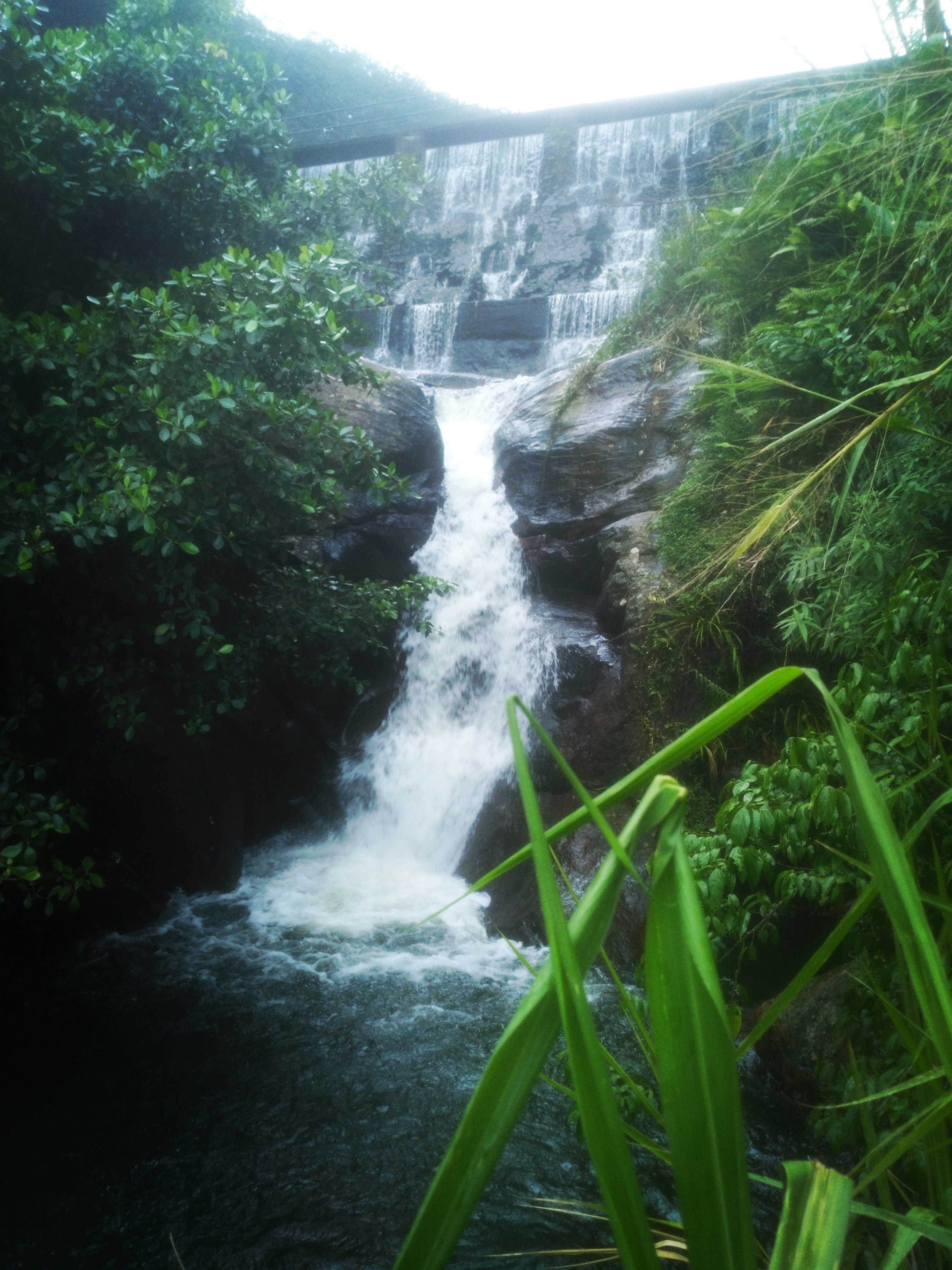
Hunnas waterfall, also known as Hunnasgiriya falls, is located about from Kandy, Sri Lanka. It is located in Matale District near the village of Elkaduwa. There are two roads to reach Hunnas waterfall, one is coming from Matale to Elkaduwa, the other is Wattegama (Kandy) to Elkaduwa. This waterfall is high and at a height of above sea level. It is a man-made waterfall, which is located in the landscaped garden of the Hunnasgiriya Hotel. It is fed by a stream from the nearby Hunnasgeria mountain peak. Apart from the main fall several streams can be seen during rainy seasons. See also *List of waterfalls in Sri Lanka The following is a list of waterfalls in Sri Lanka. Waterfalls less than in height are not included. See also * List of rivers in Sri Lanka * List of waterfalls Notes References * {{Geography of Sri Lanka * Waterfalls Sri Lanka ... References Matale District Waterfalls in Central Province, Sri Lanka Geography of Matale District [...More Info...] [...Related Items...] OR: [Wikipedia] [Google] [Baidu] |
Matale District
Matale District ( si, මාතලේ දිස්ත්රික්කය, ta, மாத்தளை மாவட்டம்) is a district in Central Province, Sri Lanka. It is one of 25 districts of Sri Lanka, the second level administrative division of the country. The district is administered by a District Secretariat headed by a District Secretary (previously known as a Government Agent) appointed by the central government of Sri Lanka. The administrative capital and largest city of the district is Matale. The district is considered as the central region of the island and has a total area of . It is in the northern part of the Central Province. It is bounded to the north by Anuradapura, east by Polonnaruwa, Badulla and Ampara, west by Kurunagala and to the south by Kandy Districts. Ethnicity and religions Cities * Matale (Municipal Council) Towns * Dambulla (Municipal Council) * Galewela * Naula * Pallepola * Rattota * Ukuwela * Yatawatta Village ... [...More Info...] [...Related Items...] OR: [Wikipedia] [Google] [Baidu] |
List Of Towns In Central Province, Sri Lanka
Central Province is a province of Sri Lanka, containing the Kandy District, Matale District, and Nuwara Eliya District. The following is a list of settlements in the province. __NOTOC__ A Abasingammedda, Adhikarigama, Agalakumbura, Agalawatta, Agappola, Agrapatana, Agrapatna, Akarahaduwa, Akkarawatta, Akuramboda, Akurambodwatta, Akurana, Aladeniya, Alagalla Kondagama, Alagalla Pahalagama, Alagoda, Alakagama, Alakola-anga, Alakola-ela, Alakoladeniya, Alakolamada, Alakolamaditta, Alakolawewa, Alanduwaka, Alapalawala, Alapalawela, Alawattegama, Alawattegama, Alawatugama, Alawatugoda, Alayaya, Alhentennawatta, Alkemada, Alubendiyaya, Aludeniya, Alugolla (7°5'N 80°28'E), Alugolla (7°9'N 80°31'E), Alugolla (7°40'N 80°37'E), Alupotawela, Alutgama (7°19'N 80°31'E), Alutgama (7°31'N 80°35'E), Alutgama (7°42'N 80°35'E), Alutgama (7°22'N 80°39'E), Alutgama Mahakumburegammedda, Alutnuwara, Alutnuwara Town, Alutwatta Alutwewa, Aluvih ... [...More Info...] [...Related Items...] OR: [Wikipedia] [Google] [Baidu] |
Provinces Of Sri Lanka
In Sri Lanka, provinces ( si, පළාත, translit=Paḷāta; ta, மாகாணம், translit=Mākāṇam) are the first level administrative division. They were first established by the British rulers of Ceylon in 1833. Over the next century most of the administrative functions were transferred to the districts, the second level administrative division. By the middle of the 20th century the provinces had become merely ceremonial. This changed in 1987 when, following several decades of increasing demand for a decentralization, the 13th Amendment to the 1978 Constitution of Sri Lanka established provincial councils. Currently there are nine provinces. History Anuradhapura Kingdom Administrative areas of the Kingdom of Anuradhapura. Rajarata was the personal domain of the King. It was further divided in to four districts (Desa): Dakkina, Pachhima, Uttara and Pacina Desa. British Ceylon After the British took control of the entire island of Ceylon in 1815 it was divi ... [...More Info...] [...Related Items...] OR: [Wikipedia] [Google] [Baidu] |
Central Province, Sri Lanka
The Central Province ( si, මධ්යම පළාත ''Madhyama Paḷāta'', ta, மத்திய மாகாணம் ''Madhdhiya Mākāṇam'') is one of the nine provinces of Sri Lanka, the first level administrative division of the country. (The provinces have existed since the 19th century but did not have any legal status until 1987 when the 13th Amendment to the Constitution of Sri Lanka established provincial councils.) The Central Province is primarily in the central mountainous terrain of Sri Lanka. It is the 6th largest province by area and is home to 2.5 million people. It is bordered by North Central Province to the north, Uva Province to the east, North Western Province to the west and Sabaragamuwa Province to the south and west. The province's capital is Kandy. The cities of Matale and Nuwara Eliya are in the Central Province. The province is famous for its production of Ceylon tea, planted by the British in the 1860s after a devastating disease kill ... [...More Info...] [...Related Items...] OR: [Wikipedia] [Google] [Baidu] |
Districts Of Sri Lanka
In Sri Lanka, districts ( si, දිස්ත්රික්ක, ''Distrikka'', ta, மாவட்டம், ''Māvaṭṭam'') are the second-level administrative divisions, and are included in a province. There are 25 districts organized into 9 provinces. Each district is administered under a district secretary, who is appointed by the central government. The main tasks of the district secretariat involve coordinating communications and activities of the central government and divisional secretariats. The district secretariat is also responsible for implementing and monitoring development projects at the district level and assisting lower-level subdivisions in their activities, as well as revenue collection and coordination of elections in the district. A district is divided into a number of Divisional Secretary's Divisions (commonly known as DS divisions), which are in turn subdivided into 14,022 grama niladhari divisions. There are 331 DS divisions in the country ... [...More Info...] [...Related Items...] OR: [Wikipedia] [Google] [Baidu] |
Sinhalese Language
Sinhala ( ; , ''siṁhala'', ), sometimes called Sinhalese (), is an Indo-Aryan language primarily spoken by the Sinhalese people of Sri Lanka, who make up the largest ethnic group on the island, numbering about 16 million. Sinhala is also spoken as the first language by other ethnic groups in Sri Lanka, totalling about 2 million people as of 2001. It is written using the Sinhala script, which is a Brahmic script closely related to the Grantha script of South India. Sinhala is one of the official and national languages of Sri Lanka. Along with Pali, it played a major role in the development of Theravada Buddhist literature. The early form of the Sinhala language, is attested as early as the 3rd century BCE. The language of these inscriptions with long vowels and aspirated consonants is a Prakrit similar to Magadhi, a regional associate of the Middle Indian Prakrits that has been used during the time of the Buddha. The closest relatives are the Vedda language (an endangered, i ... [...More Info...] [...Related Items...] OR: [Wikipedia] [Google] [Baidu] |
Tamil Language
Tamil (; ' , ) is a Dravidian language natively spoken by the Tamil people of South Asia. Tamil is an official language of the Indian state of Tamil Nadu, the sovereign nations of Sri Lanka and Singapore, and the Indian territory of Puducherry. Tamil is also spoken by significant minorities in the four other South Indian states of Kerala, Karnataka, Andhra Pradesh and Telangana, and the Union Territory of the Andaman and Nicobar Islands. It is also spoken by the Tamil diaspora found in many countries, including Malaysia, Myanmar, South Africa, United Kingdom, United States, Canada, Australia and Mauritius. Tamil is also natively spoken by Sri Lankan Moors. One of 22 scheduled languages in the Constitution of India, Tamil was the first to be classified as a classical language of India. Tamil is one of the longest-surviving classical languages of India.. "Tamil is one of the two longest-surviving classical languages in India" (p. 7). A. K. Ramanujan described it as "the on ... [...More Info...] [...Related Items...] OR: [Wikipedia] [Google] [Baidu] |
Sri Lanka
Sri Lanka (, ; si, ශ්රී ලංකා, Śrī Laṅkā, translit-std=ISO (); ta, இலங்கை, Ilaṅkai, translit-std=ISO ()), formerly known as Ceylon and officially the Democratic Socialist Republic of Sri Lanka, is an island country in South Asia. It lies in the Indian Ocean, southwest of the Bay of Bengal, and southeast of the Arabian Sea; it is separated from the Indian subcontinent by the Gulf of Mannar and the Palk Strait. Sri Lanka shares a maritime border with India and Maldives. Sri Jayawardenepura Kotte is its legislative capital, and Colombo is its largest city and financial centre. Sri Lanka has a population of around 22 million (2020) and is a multinational state, home to diverse cultures, languages, and ethnicities. The Sinhalese are the majority of the nation's population. The Tamils, who are a large minority group, have also played an influential role in the island's history. Other long established groups include the Moors, the Burghers ... [...More Info...] [...Related Items...] OR: [Wikipedia] [Google] [Baidu] |
Ukuwela
Ukuwela ( Sinhala:උකුවෙල, Tamil:உக்குவளை) is a suburb of Matale, Sri Lanka. It is located in Matale District, Central Province. It is located on the Wattegama-Matale Road (B462), about from the centre of the city. Demographics Ukuwela is a multi-religious area. The area has a Buddhist majority with a large Muslim population and significant Hindus and Christians. ''Source:''statistics.gov.lk'' Topography Ukuwela is located in the mountainous and thickly forested interior of the island and overlooked by Knuckles Mountain Range The Knuckles Mountain Range lies in central Sri Lanka, in the Districts of Matale and Kandy. The range takes its name from a series of recumbent folds and peaks in the west of the massif which resemble the knuckles of clenched fist when viewed .... It is situated above sea level. Climate Ukuwela's climate is classified as tropical. Ukuwela is an area with a significant rainfall. Even in the driest month there is ... [...More Info...] [...Related Items...] OR: [Wikipedia] [Google] [Baidu] |
Wattegama
Wattegama ( Sinhala: වත්තේගම, Tamil:வத்தேகம) is a town and Urban Council in Kandy District Kandy District ( si, මහනුවර දිස්ත්රික්කය, ta, கண்டி மாவட்டம்) is a district of the Central Province of Sri Lanka. Its area is 1906.3 km². Administrative divisions Ethnic ... in the Central Province of Sri Lanka. See also Wattegama Central College References Populated places in Kandy District Suburbs of Kandy {{KandyDistrict-geo-stub ... [...More Info...] [...Related Items...] OR: [Wikipedia] [Google] [Baidu] |


