|
Elk Bend, Idaho
Elk Bend is an unincorporated community in Lemhi County, Idaho. Elk Bend was originally established in the mid-1960s as a collection of real estate development projects. These projects were named the Salmon River Estates (Unit 1 and 2), with Salmon Meadows and its annex added later. While land was purchased and held on to for years, most development of the community didn't occur until the early 2000s, when residents who had previously bought land in the area reached retirement age and built houses and manufactured homes to retire to. Elk Bend is loosely organized around its local volunteer fire department, and as such, locals use their designated fire unit numbers over the real estate development codes for their communities. Unit 1 and 2 share the same areas and names as their real estate designations, but Salmon Meadows Annex and Salmon Meadows are designated Units 3 and 4 respectively. In local commercial development, Elk Bend has a local RV park/store, and The Dusty Mule Ba ... [...More Info...] [...Related Items...] OR: [Wikipedia] [Google] [Baidu] |
Unincorporated Area
An unincorporated area is a region that is not governed by a local municipal corporation. Widespread unincorporated communities and areas are a distinguishing feature of the United States and Canada. Most other countries of the world either have no unincorporated areas at all or these are very rare: typically remote, outlying, sparsely populated or List of uninhabited regions, uninhabited areas. By country Argentina In Argentina, the provinces of Chubut Province, Chubut, Córdoba Province (Argentina), Córdoba, Entre Ríos Province, Entre Ríos, Formosa Province, Formosa, Neuquén Province, Neuquén, Río Negro Province, Río Negro, San Luis Province, San Luis, Santa Cruz Province, Argentina, Santa Cruz, Santiago del Estero Province, Santiago del Estero, Tierra del Fuego Province, Argentina, Tierra del Fuego, and Tucumán Province, Tucumán have areas that are outside any municipality or commune. Australia Unlike many other countries, Australia has only local government in Aus ... [...More Info...] [...Related Items...] OR: [Wikipedia] [Google] [Baidu] |
RV Park
A recreational vehicle park (RV park) or caravan park is a place where people with recreational vehicles can stay overnight, or longer, in allotted spaces known as "sites" or "campsites". They are also referred to as campgrounds, though a true campground also provides facilities for tent camping; many facilities calling themselves "RV parks" also offer tent camping or cabins with limited facilities. Services Allocated space (pitch/site) facilities may include: * AC power connection. (Usually rated by capacity such as 15, 20, 30 or 50 amperes.) * Drinking water connection * Sewer connection * Television connection (relevant to local area standards) * Telephone connection (rare outside North America) * Hotspot (Wi-Fi) Park facilities may include: * Barbecue area * Bathhouses * Convenience store * Dump station * Exercise equipment * Gift shop * Golf Courses * Hot tubs * Laundry * Picnic tables * Restrooms * Recreation Hall * Showers * Swimming pool * Bar/ res ... [...More Info...] [...Related Items...] OR: [Wikipedia] [Google] [Baidu] |
Idaho Public Television
Idaho Public Television (also known as IdahoPTV and Idaho Public TV) is a Public Broadcasting Service (PBS) member network serving the U.S. state of Idaho. Consisting of five television stations, it is operated and funded by the Idaho State Board of Education, an agency of the Idaho state government that holds the licenses to all PBS member stations in the state. The network is headquartered in Boise, with satellite studios at the University of Idaho in Moscow and Idaho State University in Pocatello. Funding for Idaho Public Television comes from three major sources. Approximately 65% of funding comes from private contributions and an annual grant from the Corporation for Public Broadcasting. 31% is provided by the State of Idaho. 4% is provided by the Federal Government. Broadcast and online programs produced by Idaho Public Television include ''Outdoor Idaho'', ''Idaho Reports'', ''Idaho Experience'', ''Dialogue'', ''Idaho in Session'', ''Science Trek'' and ''The 180 with M ... [...More Info...] [...Related Items...] OR: [Wikipedia] [Google] [Baidu] |
Goldbug Hot Springs
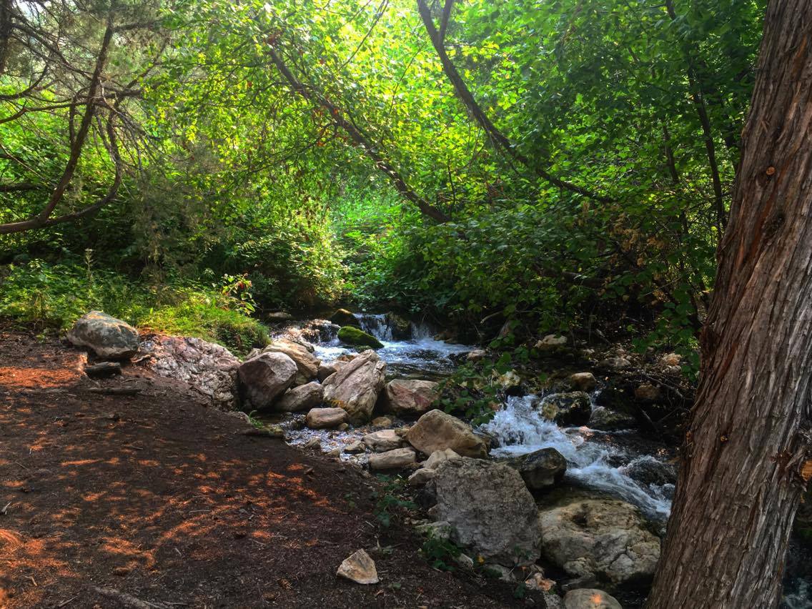
Goldbug Hot Springs is a hot spring located in the Salmon-Challis National Forest about 20 miles south of Salmon, Idaho. The spring is along Warm Spring Creek and there are about six waterfall-fed pools. Goldbug is listed as having a temperature of , but the temperature of the pools will vary depending on the time of year. The pools have a sand/gravel bottom and are dammed by boulders. Due to the hike and remoteness of the trailhead, it is not usually crowded. Water from Goldbug Hot Springs flows into Warm Springs Creek, which flows into the Salmon River. Recreation The trailhead for Goldbug Hot Springs can be accessed from a well maintained dirt road off US 93 near mile marker 282. The first of the trail is on private land that is part of a Bureau of Land Management easement. Hikers will experience in elevation gain along the hike. The trail is maintained with sturdy bridges, and there are sections where hikers will be climbing steps. The last of the hike is the steepes ... [...More Info...] [...Related Items...] OR: [Wikipedia] [Google] [Baidu] |
Sea Level
Mean sea level (MSL, often shortened to sea level) is an average surface level of one or more among Earth's coastal bodies of water from which heights such as elevation may be measured. The global MSL is a type of vertical datuma standardised geodetic datum A geodetic datum or geodetic system (also: geodetic reference datum, geodetic reference system, or geodetic reference frame) is a global datum reference or reference frame for precisely representing the position of locations on Earth or other p ...that is used, for example, as a chart datum in cartography and Navigation, marine navigation, or, in aviation, as the standard sea level at which atmospheric pressure is measured to Calibration, calibrate altitude and, consequently, aircraft flight levels. A common and relatively straightforward mean sea-level standard is instead the midpoint between a Tide, mean low and mean high tide at a particular location. Sea levels can be affected by many factors and are known to hav ... [...More Info...] [...Related Items...] OR: [Wikipedia] [Google] [Baidu] |
Dugout (shelter)
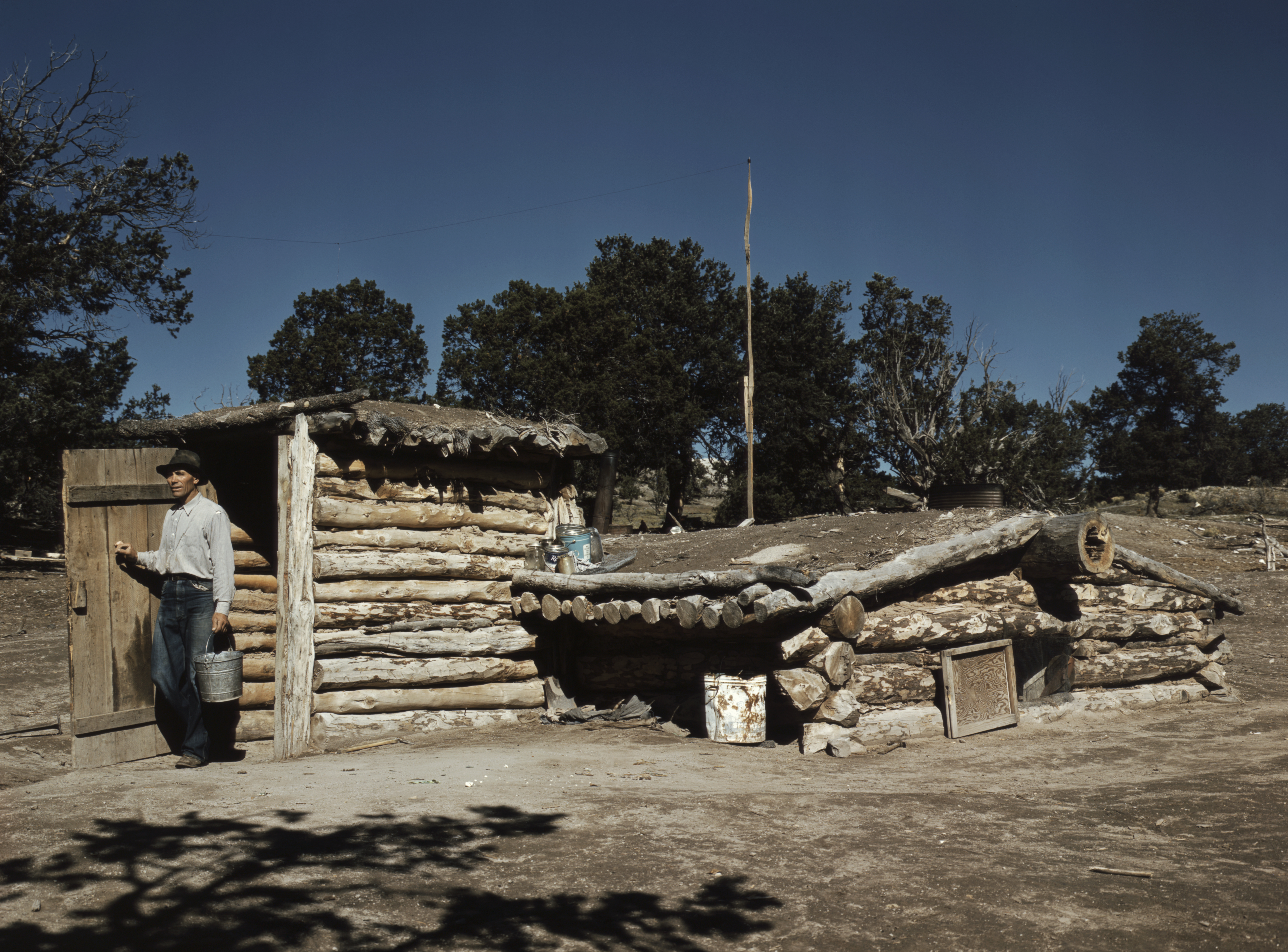
A dugout or dug-out, also known as a pit-house or earth lodge, is a shelter for humans or domesticated animals and livestock based on a hole or depression dug into the ground. Dugouts can be fully recessed into the earth, with a flat roof covered by ground, or dug into a hillside. They can also be semi-recessed, with a constructed wood or sod roof standing out. These structures are one of the most ancient types of human housing known to archaeologists, and the same methods have evolved into modern "earth shelter" technology. Dugouts may also be temporary shelters constructed as an aid to specific activities, e.g., concealment and protection during warfare or shelter while hunting. Africa Tunisia First driven underground by enemies who invaded their country, the Berbers of Matmata found underground homes the best defense against summer heat. Asia and the Pacific Australia Burra in South Australia's Mid-North region was the site of the famous 'Monster Mine' (copper) an ... [...More Info...] [...Related Items...] OR: [Wikipedia] [Google] [Baidu] |
Challis, Idaho
Challis is the largest city in Custer County, Idaho, United States. It is the county seat and its population was 1,081 at the 2010 census. The 2020 census shows 902 residents, a 16.6% drop. History Challis was founded in 1878 and named for A.P. Challis, who was a surveyor when the townsite was laid out. Challis post office was established in 1878. Twin Peaks Sports, the I.O.O.F. Hall, and a number of other buildings in Challis are individually listed on the National Register of Historic Places, most as a result of an Idaho State Historical Society study of historical resources in the town. Highways * - US 93 - to Salmon (north) and Mackay (south) * - to Stanley (southwest) The ''Salmon River Scenic Byway'' uses both highways, from Stanley to Salmon. The junction with Highway 75 is south of Challis. 1983 earthquake On Friday, October 28, 1983, the Borah Peak earthquake occurred at 8:06 am MDT. The shock measured 6.9 on the moment magnitude scale and had a maximum Mercalli ... [...More Info...] [...Related Items...] OR: [Wikipedia] [Google] [Baidu] |
Salmon, Idaho
Salmon is a city in Lemhi County, Idaho. The population was 3,112 at the 2010 census. The city is the county seat of Lemhi County. Located in the Lemhi River valley, Salmon is home to the Sacajawea Interpretive, Cultural and Education Center, which focuses on Lemhi Shoshone culture, as well as the interaction between Sacagawea and other Shoshone and Lewis and Clark. History The Lewis and Clark Expedition crossed the Continental Divide at Lemhi Pass, to the southeast of Salmon. They followed the Salmon River through the present site of the city, then ascended the north fork of the river, at the present-day town named after the confluence, to cross into present-day Montana near Lost Trail Pass. The sole female in the party, Sacagawea, was born in the Lemhi Valley near Salmon. The Sacajawea Interpretive, Cultural and Educational Center was opened in Salmon in August 2003. From 1910 to 1939, Salmon was the western terminus of the now-defunct Gilmore and Pittsburgh Railroad. ... [...More Info...] [...Related Items...] OR: [Wikipedia] [Google] [Baidu] |
Real Estate Development
Real estate development, or property development, is a business process, encompassing activities that range from the renovation and re-lease of existing buildings to the purchase of raw land and the sale of developed land or parcels to others. Real estate developers are the people and companies who coordinate all of these activities, converting ideas from paper to real property. Real estate development is different from construction or housebuilding, although many developers also manage the construction process or engage in housebuilding. Developers buy land, finance real estate deals, build or have builders build projects, develop projects in joint venture, create, imagine, control, and orchestrate the process of development from the beginning to end.New York Times, March 16, 1963, "Personality Boom is Loud for Louis Lesser" Developers usually take the greatest risk in the creation or renovation of real estate and receive the greatest rewards. Typically, developers purchase a t ... [...More Info...] [...Related Items...] OR: [Wikipedia] [Google] [Baidu] |
List Of Sovereign States
The following is a list providing an overview of sovereign states around the world with information on their status and recognition of their sovereignty. The 206 listed states can be divided into three categories based on membership within the United Nations System: 193 member states of the United Nations, UN member states, 2 United Nations General Assembly observers#Present non-member observers, UN General Assembly non-member observer states, and 11 other states. The ''sovereignty dispute'' column indicates states having undisputed sovereignty (188 states, of which there are 187 UN member states and 1 UN General Assembly non-member observer state), states having disputed sovereignty (16 states, of which there are 6 UN member states, 1 UN General Assembly non-member observer state, and 9 de facto states), and states having a political status of the Cook Islands and Niue, special political status (2 states, both in associated state, free association with New Zealand). Compi ... [...More Info...] [...Related Items...] OR: [Wikipedia] [Google] [Baidu] |
Geographic Names Information System
The Geographic Names Information System (GNIS) is a database of name and locative information about more than two million physical and cultural features throughout the United States and its territories, Antarctica, and the associated states of the Marshall Islands, Federated States of Micronesia, and Palau. It is a type of gazetteer. It was developed by the United States Geological Survey (USGS) in cooperation with the United States Board on Geographic Names (BGN) to promote the standardization of feature names. Data were collected in two phases. Although a third phase was considered, which would have handled name changes where local usages differed from maps, it was never begun. The database is part of a system that includes topographic map names and bibliographic references. The names of books and historic maps that confirm the feature or place name are cited. Variant names, alternatives to official federal names for a feature, are also recorded. Each feature receives ... [...More Info...] [...Related Items...] OR: [Wikipedia] [Google] [Baidu] |
Area Codes 208 And 986
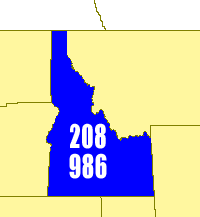
Area codes 208 and 986 are the area codes in the North American Numbering Plan for all of Idaho. Area code 208 is one of the 86 original area codes created by AT&T in 1947. It was Idaho's sole area code until 2017, when 986 was added as an overlay plan for the entire state. Because of its small population, Idaho was among a declining number of North American jurisdictions with only one area code. It is also one of the few whole-state area codes split between multiple LATAs—Southern Idaho (centered in Boise and spilling into Nevada, Wyoming and Malheur County, Oregon) and Coeur d'Alene (spilling into Montana and Washington). Additionally, the Spokane, Washington LATA spills into central Idaho. In 2001, the Federal Communications Commission projected that demand would exhaust the numbering pool of area code 208 in 2003. The number shortage was a result of the proliferation of landlines, cellphones, and pagers, particularly in urban areas, in the 1990s. However, in 2002 the I ... [...More Info...] [...Related Items...] OR: [Wikipedia] [Google] [Baidu] |


