|
Eliza Barchus
Eliza Barchus (December 4, 1857 – December 31, 1959) was an American landscape painter who lived in Portland for most of her life. Born in Salt Lake City, Utah, Barchus moved to Portland in 1880. After taking art lessons from another landscape painter, Will S. Parrott, Barchus sold her first painting in 1885. Between then and 1935, she produced thousands of oil paintings and reproductions of subjects such as Mount Hood, Yellowstone Falls, Muir Glacier, and San Francisco Bay. Barchus, who had won medals at Mechanics Fairs in Portland in the late 1880s, drew national attention in 1890, when one of her large canvases of Mount Hood was displayed at the National Academy of Design exhibition in New York City. In 1901, several of her works were shown at the Pan-American Exposition in Buffalo, New York, and in 1905 she won a gold medal at the Lewis and Clark Centennial Exposition in Portland for oil paintings of Pacific coast scenery. Widowed in 1899, Barchus supported herself and ... [...More Info...] [...Related Items...] OR: [Wikipedia] [Google] [Baidu] |
Lone Fir Cemetery
Lone Fir Cemetery in the southeast section of Portland, Oregon, United States is a cemetery owned and maintained by Metro, a regional government entity. Listed on the National Register of Historic Places, the first burial was in 1846 with the cemetery established in 1855. Lone Fir has over 25,000 burials spread over more than . History 19th and 20th centuries The original land owner, James B. Stephens, purchased a land claim extending from the east bank of the Willamette River to present day Southeast 23rd and from Stark Street to Division Street. J. B. Stephens' father Emmor Stephens died shortly after the Stephens family arrived to Oregon in 1846 and was buried on the family farm. In 1854, Stephens sold the land to Colburn Barrell, with the caveat that he maintain Emmor's gravesite. Barrell owned a steamboat the ''Gazelle'', which in 1854 exploded near Oregon City, killing a passenger and Barrell's business partner Crawford Dobbins. Barrel then set up a cemetery by setting asi ... [...More Info...] [...Related Items...] OR: [Wikipedia] [Google] [Baidu] |
San Francisco Museum Of Modern Art
The San Francisco Museum of Modern Art (SFMOMA) is a modern and contemporary art museum located in San Francisco, California. A nonprofit organization, SFMOMA holds an internationally recognized collection of modern and contemporary art, and was the first museum on the West Coast devoted solely to 20th-century art. The museum's current collection includes over 33,000 works of painting, sculpture, photography, architecture, design, and media arts, and moving into the 21st century.Collection at sfmoma.org. The collection is displayed in of exhibition space, making the museum one of the largest in the United States overall, and one of the in the world for modern and contemporary art. Found ... [...More Info...] [...Related Items...] OR: [Wikipedia] [Google] [Baidu] |
Montana
Montana () is a state in the Mountain West division of the Western United States. It is bordered by Idaho to the west, North Dakota and South Dakota to the east, Wyoming to the south, and the Canadian provinces of Alberta, British Columbia, and Saskatchewan to the north. It is the fourth-largest state by area, the eighth-least populous state, and the third-least densely populated state. Its state capital is Helena. The western half of Montana contains numerous mountain ranges, while the eastern half is characterized by western prairie terrain and badlands, with smaller mountain ranges found throughout the state. Montana has no official nickname but several unofficial ones, most notably "Big Sky Country", "The Treasure State", "Land of the Shining Mountains", and " The Last Best Place". The economy is primarily based on agriculture, including ranching and cereal grain farming. Other significant economic resources include oil, gas, coal, mining, and lumber. The health ca ... [...More Info...] [...Related Items...] OR: [Wikipedia] [Google] [Baidu] |
Washington (state)
Washington (), officially the State of Washington, is a state in the Pacific Northwest region of the Western United States. Named for George Washington—the first U.S. president—the state was formed from the western part of the Washington Territory, which was ceded by the British Empire in 1846, by the Oregon Treaty in the settlement of the Oregon boundary dispute. The state is bordered on the west by the Pacific Ocean, Oregon to the south, Idaho to the east, and the Canadian province of British Columbia to the north. It was admitted to the Union as the 42nd state in 1889. Olympia is the state capital; the state's largest city is Seattle. Washington is often referred to as Washington state to distinguish it from the nation's capital, Washington, D.C. Washington is the 18th-largest state, with an area of , and the 13th-most populous state, with more than 7.7 million people. The majority of Washington's residents live in the Seattle metropolitan area, the center of trans ... [...More Info...] [...Related Items...] OR: [Wikipedia] [Google] [Baidu] |
Salem, Oregon
Salem ( ) is the capital of the U.S. state of Oregon, and the county seat of Marion County, Oregon, Marion County. It is located in the center of the Willamette Valley alongside the Willamette River, which runs north through the city. The river forms the boundary between Marion and Polk County, Oregon, Polk counties, and the city neighborhood of West Salem, Salem, Oregon, West Salem is in Polk County. Salem was founded in 1842, became the capital of the Oregon Territory in 1851, and was incorporated in 1857. Salem had a population of 174,365 in 2019, making it the third-largest city in the state after Portland, Oregon, Portland and Eugene, Oregon, Eugene. Salem is the principal city of the Salem Metropolitan Statistical Area, a United States metropolitan area, metropolitan area that covers Marion and Polk counties and had a combined population of 390,738 at the 2010 census. A 2019 estimate placed the metropolitan population at 400,408, the state's second largest. This area is, in ... [...More Info...] [...Related Items...] OR: [Wikipedia] [Google] [Baidu] |
Yosemite National Park
Yosemite National Park ( ) is an American national park in California, surrounded on the southeast by Sierra National Forest and on the northwest by Stanislaus National Forest. The park is managed by the National Park Service and covers an area of and sits in four County, countiescentered in Tuolumne County, California, Tuolumne and Mariposa County, California, Mariposa, extending north and east to Mono County, California, Mono and south to Madera County, California, Madera County. Designated a World Heritage Site in 1984, Yosemite is internationally recognized for its granite cliffs, waterfalls, clear streams, Sequoiadendron giganteum, giant sequoia groves, lakes, mountains, meadows, glaciers, and Biodiversity, biological diversity. Almost 95 percent of the park is designated National Wilderness Preservation System, wilderness. Yosemite is one of the largest and least fragmented habitat blocks in the Sierra Nevada, and the park supports a diversity of plants and animals. The ... [...More Info...] [...Related Items...] OR: [Wikipedia] [Google] [Baidu] |
Half Dome
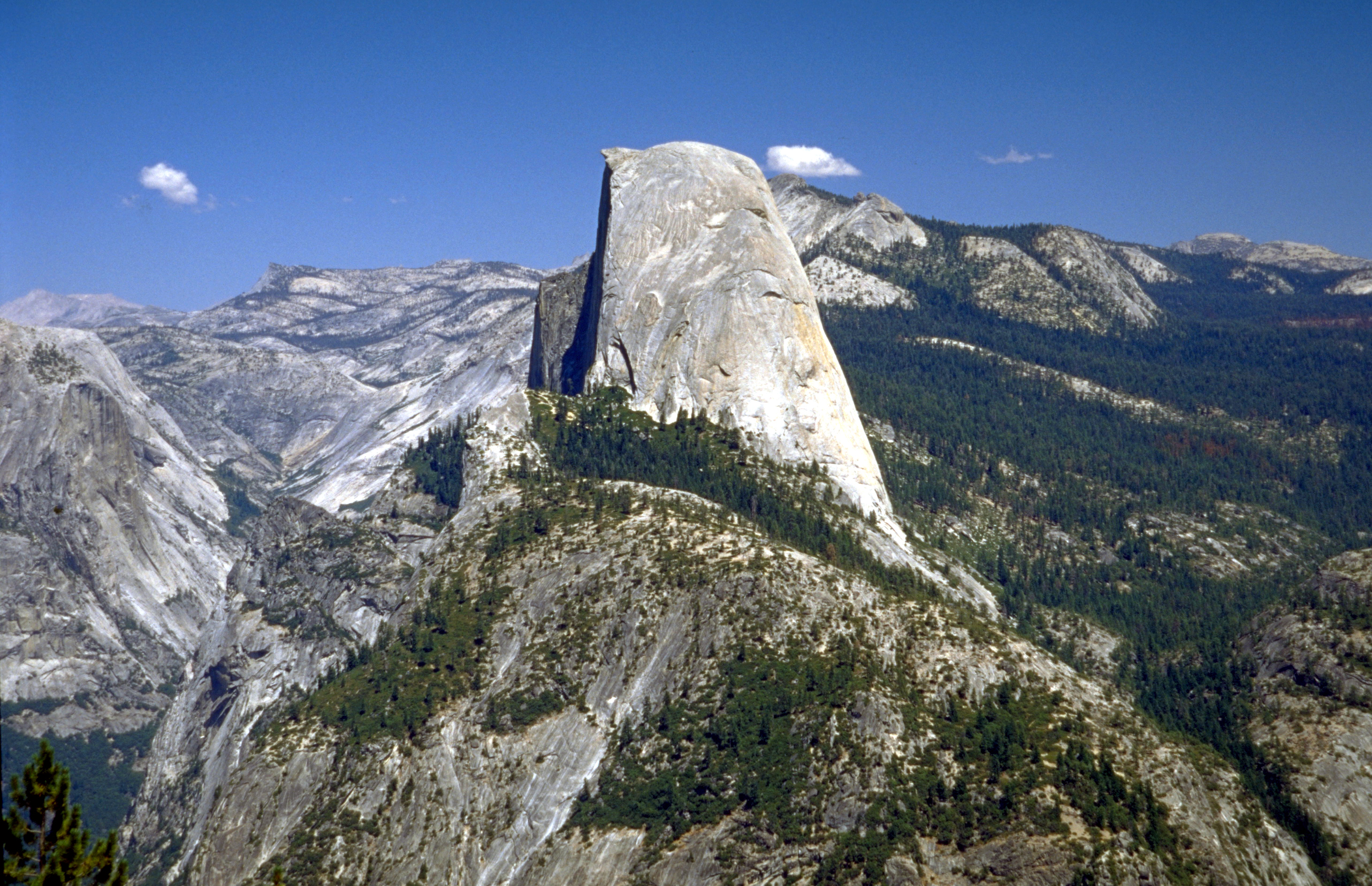
Half Dome is a granite dome at the eastern end of Yosemite Valley in Yosemite National Park, California. It is a well-known rock formation in the park, named for its distinct shape. One side is a sheer face while the other three sides are smooth and round, making it appear like a dome cut in half. The granite crest rises more than above the valley floor. Geology The impression from the valley floor that this is a round dome that has lost its northwest half, is just an illusion. From Washburn Point, Half Dome can be seen as a thin ridge of rock, an arête, that is oriented northeast–southwest, with its southeast side almost as steep as its northwest side except for the very top. Although the trend of this ridge, as well as that of Tenaya Canyon, is probably controlled by master joints, 80 percent of the northwest "half" of the original dome may well still be there. Ascents As late as the 1870s, Half Dome was described as "perfectly inaccessible" by Josiah Whitney of the Ca ... [...More Info...] [...Related Items...] OR: [Wikipedia] [Google] [Baidu] |
Columbia River Gorge
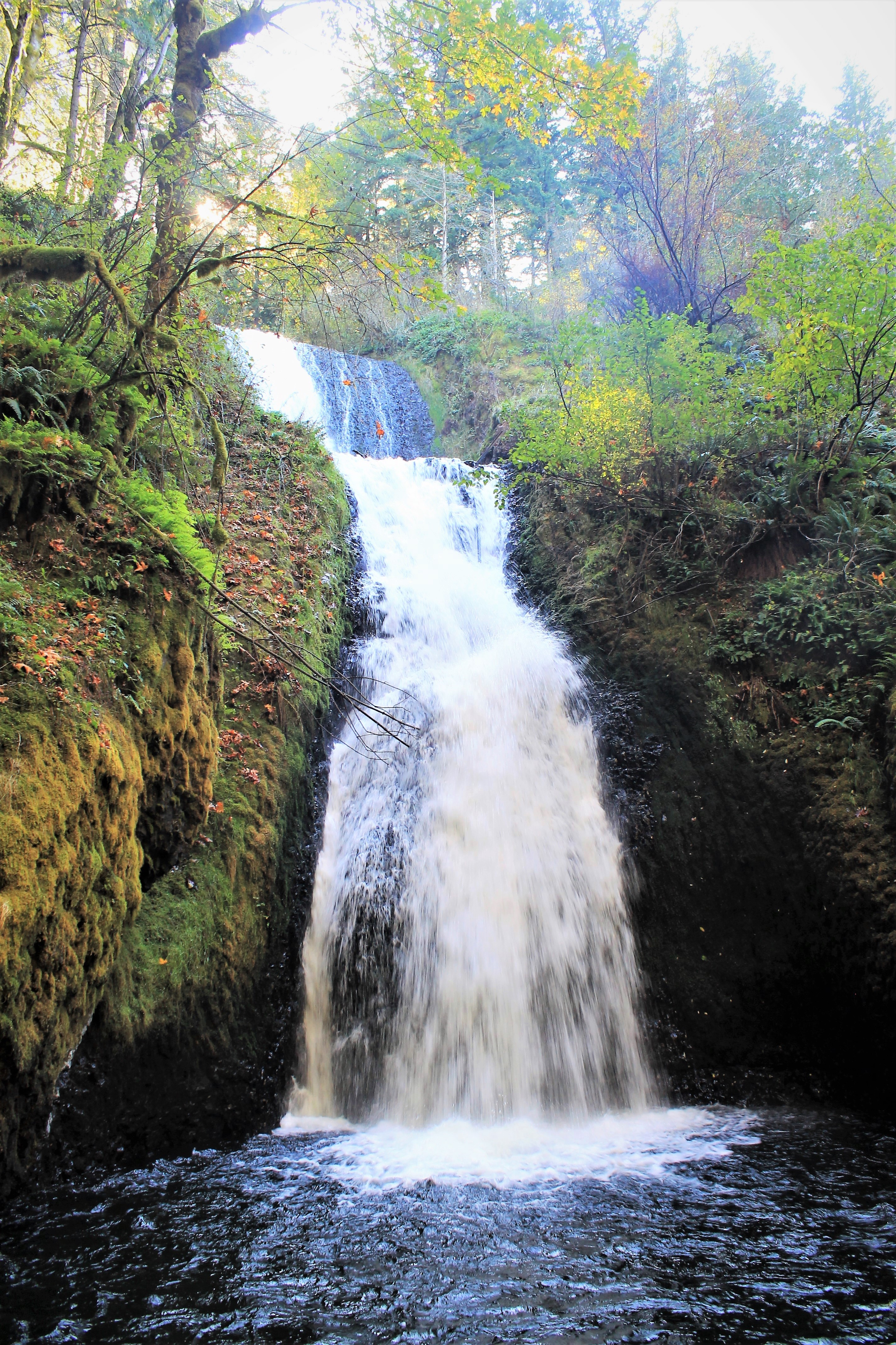
The Columbia River Gorge is a canyon of the Columbia River in the Pacific Northwest of the United States. Up to deep, the canyon stretches for over as the river winds westward through the Cascade Range, forming the boundary between the state of Washington to the north and Oregon to the south. Extending roughly from the confluence of the Columbia with the Deschutes River (and the towns of Roosevelt, Washington, and Arlington, Oregon) in the east down to the eastern reaches of the Portland metropolitan area, the water gap furnishes the only navigable route through the Cascades and the only water connection between the Columbia Plateau and the Pacific Ocean. It is thus that the routes of Interstate 84, U.S. Route 30, Washington State Route 14, and railroad tracks on both sides run through the gorge. A popular recreational destination, the gorge holds federally protected status as the Columbia River Gorge National Scenic Area and is managed by the Columbia River Gorge Commi ... [...More Info...] [...Related Items...] OR: [Wikipedia] [Google] [Baidu] |
Crater Lake
Crater Lake (Klamath language, Klamath: ''Giiwas'') is a volcanic crater lake in south-central Oregon in the western United States. It is the main feature of Crater Lake National Park and is famous for its deep blue color and water clarity. The lake partly fills a caldera that was formed around 7,700 (± 150) years ago by the collapse of the volcano Mount Mazama. There are no rivers flowing into or out of the lake; the evaporation is compensated for by rain and snowfall at a rate such that the total amount of water is replaced every 250 years. With a depth of , the lake is the List of lakes by depth, deepest in the United States. In the world, it ranks ninth for maximum depth, and third for mean (average) depth. Crater Lake features two small islands. Wizard Island, located near the western shore of the lake, is a cinder cone approximately 316 acres (128 ha) in size. Phantom Ship (island), Phantom Ship, a natural rock pillar, is located near the southern shore. Since 2002, ... [...More Info...] [...Related Items...] OR: [Wikipedia] [Google] [Baidu] |
Mount Shasta
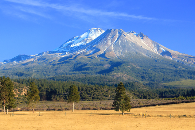
Mount Shasta ( Shasta: ''Waka-nunee-Tuki-wuki''; Karuk: ''Úytaahkoo'') is a potentially active volcano at the southern end of the Cascade Range in Siskiyou County, California. At an elevation of , it is the second-highest peak in the Cascades and the fifth-highest in the state. Mount Shasta has an estimated volume of , which makes it the most voluminous stratovolcano in the Cascade Volcanic Arc. The mountain and surrounding area are part of the Shasta–Trinity National Forest. Description Mount Shasta is connected to its satellite cone of Shastina, and together they dominate the landscape. Shasta rises abruptly to tower nearly above its surroundings. On a clear winter day, the mountain can be seen from the floor of the Central Valley to the south. The mountain has attracted the attention of poets, authors, and presidents. The mountain consists of four overlapping dormant volcanic cones that have built a complex shape, including the main summit and the prominent and visi ... [...More Info...] [...Related Items...] OR: [Wikipedia] [Google] [Baidu] |
Three Sisters (Oregon)
--> , topo = USGS South Sister and North Sister , type = Two stratovolcanoes (South, Middle) and one shield volcano (North) , age = Quaternary , volcanic_arc = Cascade Volcanic Arc , last_eruption = 440 CE , first_ascent = , easiest_route = Hiking or scrambling, plus glacier travel on some routes The Three Sisters are closely spaced volcanic peaks in the U.S. state of Oregon. They are part of the Cascade Volcanic Arc, a segment of the Cascade Range in western North America extending from southern British Columbia through Washington and Oregon to Northern California. Each more than in elevation, they are the third-, fourth- and fifth-highest peaks in Oregon. Located in the Three Sisters Wilderness at the boundary of Lane and Deschutes counties and the Willamette and Deschutes national forests, they are about south of the nearest town, Sisters. Diverse species of flora and fauna inhabit the area, which is subject to frequent snowfall, occasional rain, and extreme tem ... [...More Info...] [...Related Items...] OR: [Wikipedia] [Google] [Baidu] |
Cascade Range
The Cascade Range or Cascades is a major mountain range of western North America, extending from southern British Columbia through Washington and Oregon to Northern California. It includes both non-volcanic mountains, such as the North Cascades, and the notable volcanoes known as the High Cascades. The small part of the range in British Columbia is referred to as the Canadian Cascades or, locally, as the Cascade Mountains. The latter term is also sometimes used by Washington residents to refer to the Washington section of the Cascades in addition to North Cascades, the more usual U.S. term, as in North Cascades National Park. The highest peak in the range is Mount Rainier in Washington at . part of the Pacific Ocean's Ring of Fire, the ring of volcanoes and associated mountains around the Pacific Ocean. All of the eruptions in the contiguous United States over the last 200 years have been from Cascade volcanoes. The two most recent were Lassen Peak from 1914 to 1921 and a major ... [...More Info...] [...Related Items...] OR: [Wikipedia] [Google] [Baidu] |


