|
Electricity Ashburton
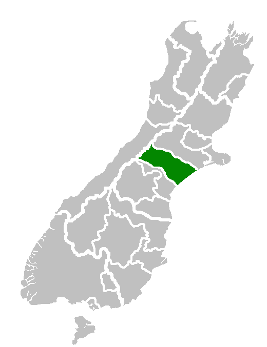
Electricity Ashburton Limited, trading as EA Networks is a co-operatively-owned electricity distribution company, based in Ashburton, New Zealand. The company was formed as Electricity Ashburton in 1995 after a reorganisation of the Ashburton Electric Power Board into a commercial company. It adopted its current trading name EA Networks in late 2012. It is unique among New Zealand electricity distribution companies in that it is the only company that is a cooperative, whereby shares in the company are owned by electricity consumers connected to its network. EA Networks owns and operates the subtransmission and distribution network in the Ashburton District (also known as Mid-Canterbury) in the South Island. Outside the Ashburton township (pop. 17,700), most of the district is rural with a high usage of irrigation, with the associated water pumps responsible for more than 85 percent of EA Networks' peak summer demand. EA Networks also owns a fibre optic cable network interconn ... [...More Info...] [...Related Items...] OR: [Wikipedia] [Google] [Baidu] |
Cooperative
A cooperative (also known as co-operative, co-op, or coop) is "an autonomous association of persons united voluntarily to meet their common economic, social and cultural needs and aspirations through a jointly owned and democratically-controlled enterprise".Statement on the Cooperative Identity. ''.'' Cooperatives are democratically controlled by their members, with each member having one vote in electing the board of directors. Cooperatives may include: * businesses owned and managed by the people who consume th ... [...More Info...] [...Related Items...] OR: [Wikipedia] [Google] [Baidu] |
Dividends
A dividend is a distribution of profits by a corporation to its shareholders. When a corporation earns a profit or surplus, it is able to pay a portion of the profit as a dividend to shareholders. Any amount not distributed is taken to be re-invested in the business (called retained earnings). The current year profit as well as the retained earnings of previous years are available for distribution; a corporation is usually prohibited from paying a dividend out of its capital. Distribution to shareholders may be in cash (usually a deposit into a bank account) or, if the corporation has a dividend reinvestment plan, the amount can be paid by the issue of further shares or by share repurchase. In some cases, the distribution may be of assets. The dividend received by a shareholder is income of the shareholder and may be subject to income tax (see dividend tax). The tax treatment of this income varies considerably between jurisdictions. The corporation does not receive a tax deduct ... [...More Info...] [...Related Items...] OR: [Wikipedia] [Google] [Baidu] |
Rakaia
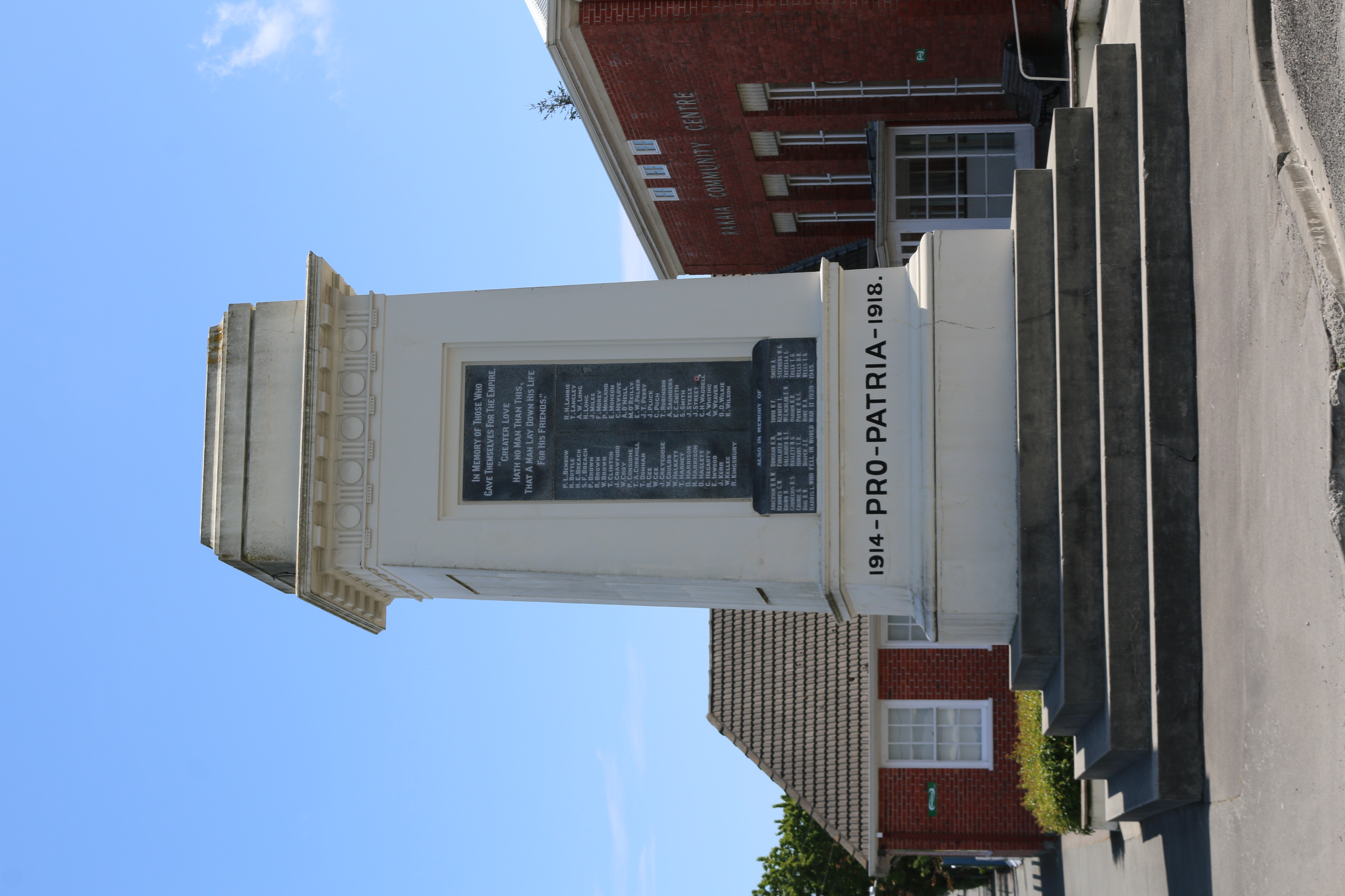
Rakaia is a town seated close to the southern banks of the Rakaia River on the Canterbury Plains in New Zealand's South Island, approximately 57 km south of Christchurch on State Highway 1 and the Main South Line. Immediately north of the township are New Zealand's longest road bridge and longest rail bridge, both of which cross the wide shingle beds of the braided river at this point. Both bridges are approximately 1750 metres in length. Rakaia was also the junction of the Methven Branch, a branch line railway to Methven that operated from 1880 until its closure in 1976. An accident at the railway station in 1899 killed four people. Rakaia's most obvious feature is a large fibreglass salmon. The river from which the town takes its name is known for its salmon fishing and jetboating. The town and river were previously known as ''Cholmondeley'', but the Maori name would eventually prevail over the English one. The rural community of Acton is located south of the Rakaia ... [...More Info...] [...Related Items...] OR: [Wikipedia] [Google] [Baidu] |
National Grid (New Zealand)
The National Grid is the nationwide system of electric power transmission in New Zealand. The grid is owned, operated and maintained by Transpower New Zealand, a state-owned enterprise, although some lines are owned by local distribution companies and leased to Transpower. In total, the national grid contains of high-voltage lines and 178 substations. Much of New Zealand’s electricity generation is hydroelectric, the majority of which is from power stations on lakes and rivers in the lower half of the South Island, while most of the electricity demand is in the North Island, in particular, the Auckland region. Consequently, large amounts of electricity need to be transmitted long distances from power stations to electricity users, including transmission across Cook Strait through the HVDC Inter-Island link. Investments in new transmission are regulated by the Electricity Commission and the Commerce Commission. In a news release in January 2012, the Commerce Commission report ... [...More Info...] [...Related Items...] OR: [Wikipedia] [Google] [Baidu] |
Little River (New Zealand)
The Little River is a tributary of Rakaia River, about long, in the Canterbury Plains of New Zealand's South Island. It rises on the Mount Hutt and enters the Rakaia above sea level. Little River is also the name of a short river, roughly , on Stewart Island, about a 2-hour walk from Oban. Wairewa marae, a ''marae'' (tribal meeting ground) of Ngāi Tahu and its Wairewa Rūnanga branch, is located at Little River. It includes Te Mako ''wharenui'' (meeting house). Power station MainPower’s Cleardale power station, was built in 2010. It takes up to /second through a fibreglass penstock, up from, and above, the station, to drive a pelton wheel. Power is generated at 400 volts and transformed to feed into Electricity Ashburton's 11 kV network. Some water from the tailrace A water wheel is a machine for converting the energy of flowing or falling water into useful forms of power, often in a watermill. A water wheel consists of a wheel (usually constructed from wood ... [...More Info...] [...Related Items...] OR: [Wikipedia] [Google] [Baidu] |
Rangitata Diversion Race
The Rangitata Diversion Race or RDR is a combined irrigation and power generation scheme that diverts water from the Rangitata River to irrigate over 100,000hectares of farmland in Mid-Canterbury, New Zealand. The RDR project was the first major river diversion in New Zealand, and the largest irrigation scheme in the country. It was originally constructed by the Public Works Department between 1937 and 1944. The main canal is 67km long, 10m wide and 3m deep. The RDR supplies three community irrigation schemes, two hydroelectric power stations, the Ashburton District Council stockwater race system and various private stockwater and irrigation schemes. The route Water is diverted into the RDR canal from the Rangitata River at Klondyke, near the Rangitata Gorge. From Klondyke, the 67km long route of the RDR follows along the foothills above the Canterbury Plains and passes under several major rivers on the way to the end point at Highbank, above the Rakaia River. The main water i ... [...More Info...] [...Related Items...] OR: [Wikipedia] [Google] [Baidu] |
Mount Hutt
Mount Hutt ( mi, Opuke) rises to the west of the Canterbury Plains in the South Island of New Zealand, above the braided upper reaches of the Rakaia River, and 80 kilometres west of Christchurch. Its summit is 2190 metres above sea level. The New Zealand Ministry for Culture and Heritage gives a translation of "place of the hill" for ''Ōpuke''. Ski field The mountain is home to a commercial alpine ski area offering 3.65 square kilometres of skiable terrain and a vertical of 683 metres. The ski field is owned and operated by NZSki It caters for a wide range of skier and snowboarder abilities, with two surface/conveyor lifts, a high-speed six seater chairlift, a high-speed eight seater chairlift and a fixed-grip three seater chairlift. The lift infrastructure provides access to a wide range of beginner, intermediate and advanced runs, access to large off-piste areas and several terrain parks. The most advanced runs on the mountain are through the rock formations at the top of the ... [...More Info...] [...Related Items...] OR: [Wikipedia] [Google] [Baidu] |
Skifield
A ski resort is a resort developed for skiing, snowboarding, and other winter sports. In Europe, most ski resorts are towns or villages in or adjacent to a ski area – a mountainous area with pistes (ski trails) and a ski lift system. In North America, it is more common for ski areas to exist well away from towns, so ski resorts usually are destination resorts, often purpose-built and self-contained, where skiing is the main activity. Ski resort Ski resorts are located on both Northern and Southern Hemispheres on all continents except Antarctica. They typically are located on mountains, as they require a large slope. They also need to receive sufficient snow (at least in combination with artificial snowmaking, unless the resort uses dry ski slopes). High concentrations of ski resorts are located in the Alps, Scandinavian Peninsula, Scandinavia, western and eastern List of ski areas and resorts in North America, North America, and List of ski areas and resorts in Japan, Japan. ... [...More Info...] [...Related Items...] OR: [Wikipedia] [Google] [Baidu] |
Slaughterhouse
A slaughterhouse, also called abattoir (), is a facility where animals are slaughtered to provide food. Slaughterhouses supply meat, which then becomes the responsibility of a packaging facility. Slaughterhouses that produce meat that is not intended for human consumption are sometimes referred to as ''knacker's yards'' or ''knackeries''. This is where animals are slaughtered that are not fit for human consumption or that can no longer work on a farm, such as retired work horses. Slaughtering animals on a large scale poses significant issues in terms of logistics, animal welfare, and the environment, and the process must meet public health requirements. Due to public aversion in different cultures, determining where to build slaughterhouses is also a matter of some consideration. Frequently, animal rights groups raise concerns about the methods of transport to and from slaughterhouses, preparation prior to slaughter, animal herding, and the killing itself. History Unti ... [...More Info...] [...Related Items...] OR: [Wikipedia] [Google] [Baidu] |
Street Light
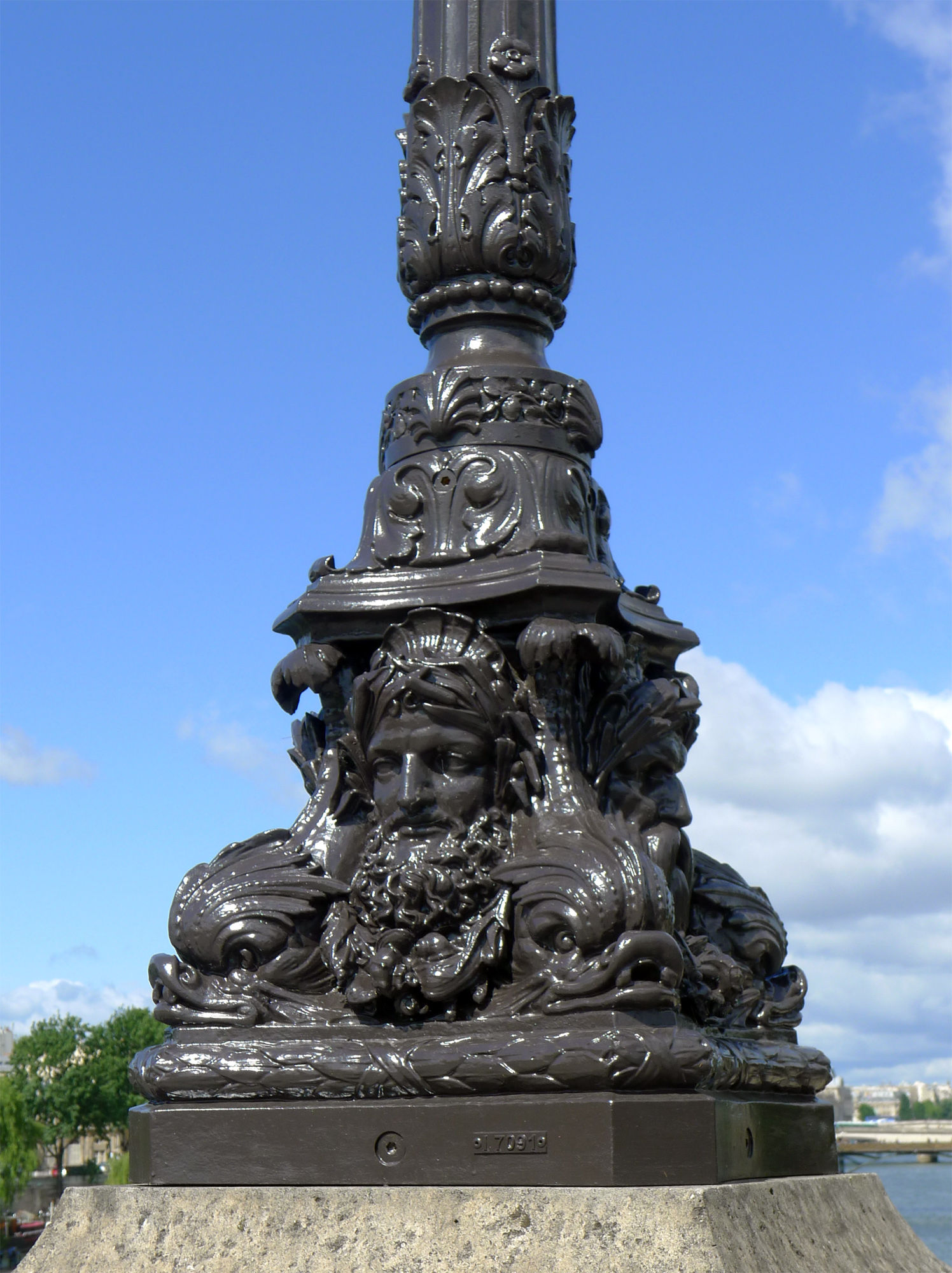
A street light, light pole, lamp pole, lamppost, street lamp, light standard, or lamp standard is a raised source of light on the edge of a road or path. Similar lights may be found on a railway platform. When urban electric power distribution became ubiquitous in developed countries in the 20th century, lights for urban streets followed, or sometimes led. Many lamps have light-sensitive photocells that activate the lamp automatically when needed, at times when there is little-to-no ambient light, such as at dusk, dawn, or at the onset of dark weather conditions. This function in older lighting systems could be performed with the aid of a solar dial. Many street light systems are being connected underground instead of wiring from one utility post to another. Street lights are an important source of public security lighting intended to reduce crime. History Preindustrial era Early lamps were used by Greek and Roman civilizations, where light primarily served the purpose of ... [...More Info...] [...Related Items...] OR: [Wikipedia] [Google] [Baidu] |
Southern Alps (New Zealand)
The Southern Alps (; officially Southern Alps / Kā Tiritiri o te Moana) is a mountain range extending along much of the length of New Zealand's South Island, reaching its greatest elevations near the range's western side. The name "Southern Alps" generally refers to the entire range, although separate names are given to many of the smaller ranges that form part of it. The range includes the South Island's Main Divide, which separates the water catchments of the more heavily populated eastern side of the island from those on the west coast. Politically, the Main Divide forms the boundary between the Marlborough, Canterbury and Otago regions to the southeast and the Tasman and West Coast regions to the northwest. Names The Māori name of the range is , meaning "the Mirage of the Ocean". The English explorer James Cook bestowed the name ''Southern Alps'' on 23 March 1770, admiring their "prodigious height". p. 384. They had previously been noted by Abel Tasman in 1642, whose ... [...More Info...] [...Related Items...] OR: [Wikipedia] [Google] [Baidu] |
Pacific Ocean
The Pacific Ocean is the largest and deepest of Earth's five oceanic divisions. It extends from the Arctic Ocean in the north to the Southern Ocean (or, depending on definition, to Antarctica) in the south, and is bounded by the continents of Asia and Oceania in the west and the Americas in the east. At in area (as defined with a southern Antarctic border), this largest division of the World Ocean—and, in turn, the hydrosphere—covers about 46% of Earth's water surface and about 32% of its total surface area, larger than Earth's entire land area combined .Pacific Ocean . '' Britannica Concise.'' 2008: Encyclopædia Britannica, Inc. The centers of both the |


.jpg)