|
Eel River And Eureka Railroad
The Eel River and Eureka Railroad company was organized on November 14, 1882, by a group of Eureka businessmen led by John M. Vance (b. Nova Scotia October 1, 1821 – d. January 1892). One of the other founders of the line was William Carson. History The primary of the Eel River and Eureka Railroad ran from the line's office and depot at the foot of Second Street, Eureka to Burnell's station, a town near Hydesville. The longest tunnel was nearly through Table Bluff between the stops of Salmon Creek and Swauger's Station. By 1896, the Eel River and Eureka Railroad was running passenger trains twice a day, every day but Sunday when there were three trains. From June 1895 to June 1896, the line had 32,811 passengers who paid a total of $24,748.70 in fares. In the same period, the line earned $67,568.85 from lumber and freight, over 3,000 tons of which was butter from the Eel River Valley dairies. After the junction at Alton the Pacific Lumber Company Railroad extended ... [...More Info...] [...Related Items...] OR: [Wikipedia] [Google] [Baidu] |
North Coast (California)
The North Coast of California (also called the Redwood Empire or the Redwood Coast in reference to the dense redwood forests throughout the region) is a region in Northern California that lies on the Pacific coast between San Francisco Bay and the Oregon border. It commonly includes Mendocino, Humboldt, and Del Norte counties and sometimes includes two counties from the San Francisco Bay area, Marin and Sonoma. Cities Much of the area is rural, and it contains few major cities. The only city with a population of over 100,000 is Santa Rosa (population 178,000) in Sonoma County, which is the largest city of the North Coast under the five-county definition. Eureka (population 27,000) in Humboldt County is the largest under the three-county definition. Despite their relatively smaller size to the major cities elsewhere in the state, many of the region's cities and towns have historical importance to the state or regional importance. County seats * Del Norte: Crescent City * Humb ... [...More Info...] [...Related Items...] OR: [Wikipedia] [Google] [Baidu] |
Pacific Lumber Company
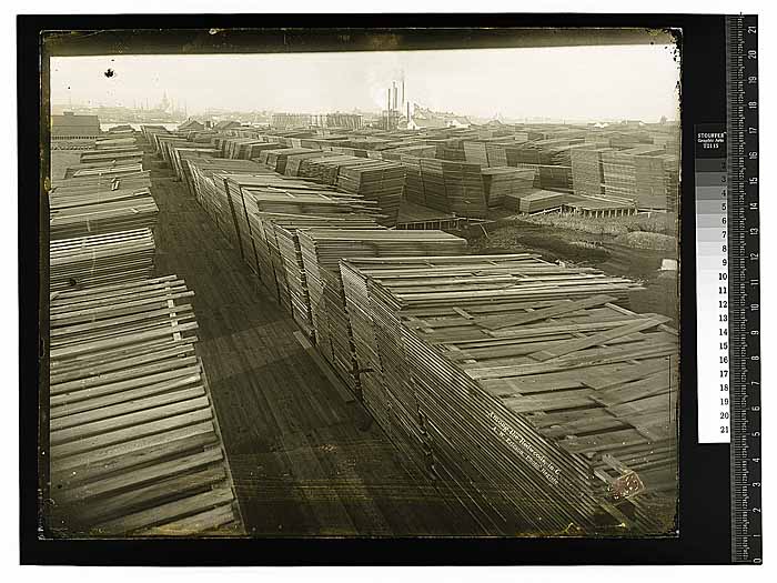
The Pacific Lumber Company, officially abbreviated PALCO, and also commonly known as PL, was one of California's major logging and sawmill operations, located 28 miles (45 km) south of Eureka and 244 miles (393 km) north of San Francisco. Begun in 1863, PALCO was carefully managed over most of the twentieth century by generations of the Simon J. Murphy, Sr. Family or managers chosen by the Murphys from 1905 through 1985. Primary operations existed in massive log storage and milling operations at the historic company town of Scotia, California, located adjacent to US 101 along the Eel River. Secondary mills were located in nearby Fortuna and Carlotta. PALCO had extensive timber holdings exceeding well over 200,000 acres (890 km²) in the Redwood and Douglas-Fir forests of Humboldt County. For generations, it was one of the largest private employers in the entire region, appropriately known as the Redwood Empire. The company was transformed into a wholly owned su ... [...More Info...] [...Related Items...] OR: [Wikipedia] [Google] [Baidu] |
California Railroads
The following railroads operate in the U.S. state of California. __TOC__ Common freight carriers Freight carrier information is current . Other * Mare Island Rail Service (MIRS) * Oakland Global Rail Enterprise (OGRE) ** West Oakland Pacific Railroad ** Port of Oakland Railway (POAK) * Southern California Railroad (SCRR) *USG Corporation (USG) Passenger carriers Intercity *Amtrak (AMTK): ''California Zephyr'', ''Coast Starlight'', ''Southwest Chief'', ''Sunset Limited'' *Amtrak California (CDTX): ''Capitol Corridor'', ''Pacific Surfliner'' and '' San Joaquin'' *''California High-Speed Rail (under construction)'' Commuter rail *Altamont Corridor Express (ACE) *Arrow *Caltrain (JPBX) *Coaster (SDNX) * Metrolink (SCAX) *Peninsula Commute *Sonoma–Marin Area Rail Transit (SMART) Local *Bay Area Rapid Transit (BART) ** eBART ** Coliseum–Oakland International Airport line (people mover) *Los Angeles County Metro Rail (LACZ) *San Francisco Municipal Railway (MUNI) **Muni ... [...More Info...] [...Related Items...] OR: [Wikipedia] [Google] [Baidu] |
Fortuna CA Depot Museum Building
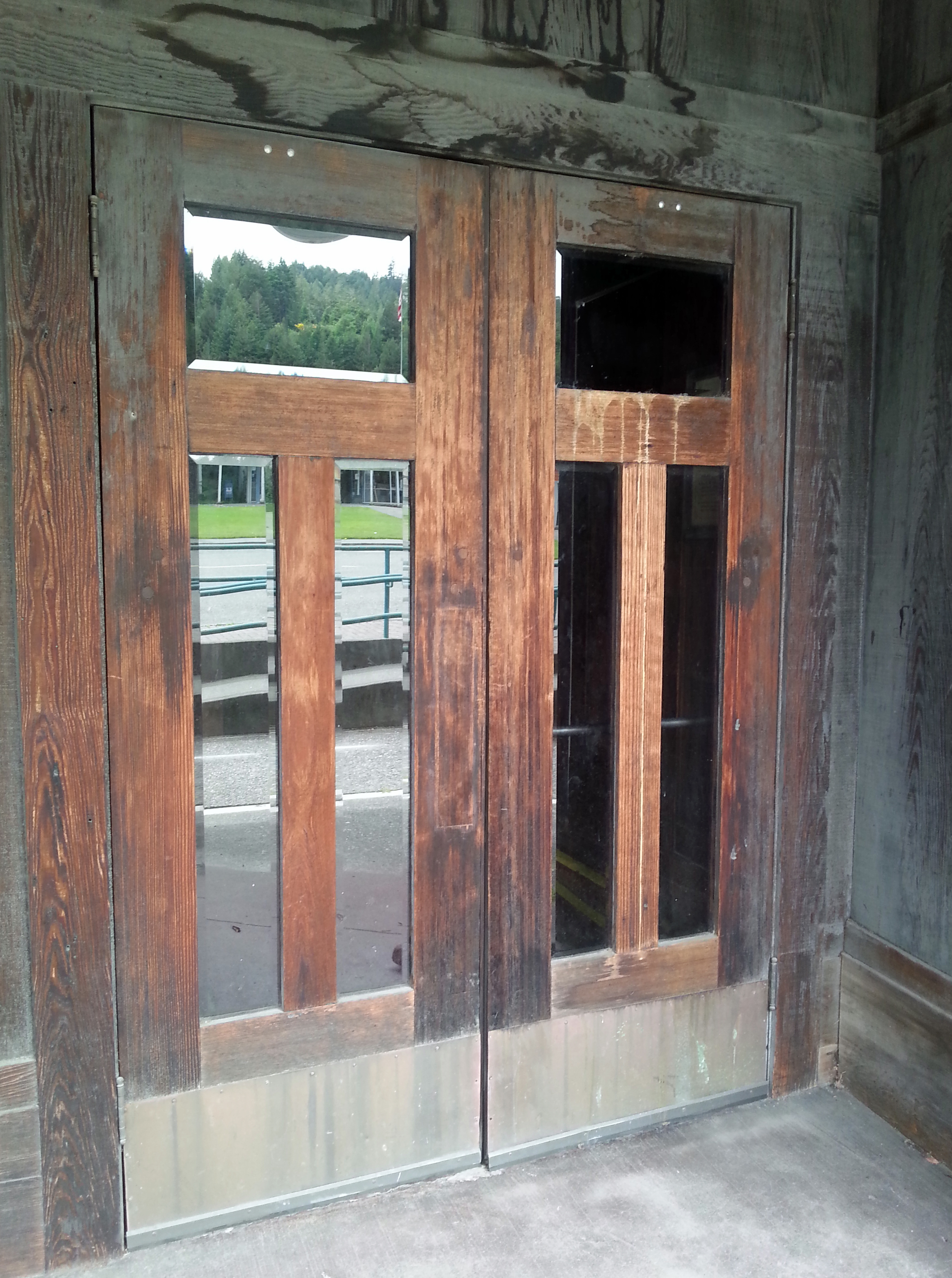
Fortuna ( la, Fortūna, equivalent to the Greek goddess Tyche) is the goddess of fortune and the personification of luck in Roman religion who, largely thanks to the Late Antique author Boethius, remained popular through the Middle Ages until at least the Renaissance. The blindfolded depiction of her is still an important figure in many aspects of today's Italian culture, where the dichotomy ''fortuna / sfortuna'' (luck / unluck) plays a prominent role in everyday social life, also represented by the very common refrain "La eafortuna è cieca" (latin ''Fortuna caeca est''; "Luck oddessis blind"). Fortuna is often depicted with a gubernaculum (ship's rudder), a ball or Rota Fortunae (wheel of fortune, first mentioned by Cicero) and a cornucopia (horn of plenty). She might bring good or bad luck: she could be represented as veiled and blind, as in modern depictions of Lady Justice, except that Fortuna does not hold a balance. Fortuna came to represent life's capriciousness. She wa ... [...More Info...] [...Related Items...] OR: [Wikipedia] [Google] [Baidu] |
Northwestern Pacific Railroad
The Northwestern Pacific Railroad is a regional shortline railroad utilizing a stretch of the 271 mile mainline between Schellville and Windsor with freight and Sonoma–Marin Area Rail Transit (SMART) commuter trains. Formerly, it was a regional railroad primarily used for logging that served the entire North Coast of California, with a main line running from Schellville to Eureka, along with an additional portion of the line running from the Ignacio Wye to the edge of San Rafael. The "Southern End" of the line, including Schellville to Willits and from Ignacio to San Rafael is owned by SMART, while the "Northern End" was formally owned and managed by the now-dissolved North Coast Railroad Authority but is now saved for use in California's 2018 Great Redwood Trail Act, which repurposes the unused railroad right-of-way from Eureka to Willits for future use as the Great Redwood Trail. History In the late 1800s both the Southern Pacific Railroad (“SP”) and the Atchi ... [...More Info...] [...Related Items...] OR: [Wikipedia] [Google] [Baidu] |
Trinidad, California
Trinidad (Spanish for "Trinity"; Yurok: ''Chuerey'') is a seaside city in Humboldt County, located on the Pacific Ocean north of the Arcata-Eureka Airport and north of the college town of Arcata. Trinidad is noted for its coastline with ten public beaches and offshore rocks, part of the California Coastal National Monument, of which Trinidad is a Gateway City. Fishing operations related to Trinidad Harbor are vital to both local tourism and commercial fishery interests in the region. Situated at an elevation of above its own North Coast harbor, Trinidad is one of California's smallest incorporated cities by population (367 residents in 2010, up from 311 residents in 2000). History ] Before 1700 AD, Yurok people established the village of Tsurai on bluffs overlooking Trinidad Bay. The first European sighting of Trinidad Harbor was by the Manila galleon captain Sebastian Rodriguez Cermeño, who did not make landfall. The next visit was by Bruno de Heceta and Juan Francisco ... [...More Info...] [...Related Items...] OR: [Wikipedia] [Google] [Baidu] |
San Francisco
San Francisco (; Spanish language, Spanish for "Francis of Assisi, Saint Francis"), officially the City and County of San Francisco, is the commercial, financial, and cultural center of Northern California. The city proper is the List of California cities by population, fourth most populous in California and List of United States cities by population, 17th most populous in the United States, with 815,201 residents as of 2021. It covers a land area of , at the end of the San Francisco Peninsula, making it the second most densely populated large U.S. city after New York City, and the County statistics of the United States, fifth most densely populated U.S. county, behind only four of the five New York City boroughs. Among the 91 U.S. cities proper with over 250,000 residents, San Francisco was ranked first by per capita income (at $160,749) and sixth by aggregate income as of 2021. Colloquial nicknames for San Francisco include ''SF'', ''San Fran'', ''The '', ''Frisco'', and '' ... [...More Info...] [...Related Items...] OR: [Wikipedia] [Google] [Baidu] |
Scotia, California
Scotia, formerly known as Forestville until 1888, is a census-designated place in Humboldt County, California. It is located on the Eel River along U.S. Route 101, southeast of Fortuna and north of San Francisco. Scotia has a population of 850 ( 2010 census). Scotia is a company town founded by the Pacific Lumber Company (PALCO) to house workers for the lumber industry. The town was entirely owned by PALCO until 2008, following the corporation's declaration of bankruptcy. While it is home to hundreds of past or present lumber mill employees and their dependents, a process is underway to divide the homes into lots for sale. History Scotia was founded in 1863 as Forestville by the Pacific Lumber Company to house workers for its lumber industry operations in the area. The town was formed following the winter flood of 1861–1862; that flood level was not observed again until 1955. The Eel River crested at a gauge height of 72 feet (10.1 feet higher than 1955) on December 23, 1 ... [...More Info...] [...Related Items...] OR: [Wikipedia] [Google] [Baidu] |
Eel River (California)
The Eel River (Wiyot: ''Wiya't''; Cahto: ''Taanchow''; Northern Pomo: ''ch'idiyu'') is a major river, about long, of northwestern California. The river and its tributaries form the third largest watershed entirely in California, draining a rugged area of in five counties. The river flows generally northward through the Coast Ranges west of the Sacramento Valley, emptying into the Pacific Ocean about downstream from Fortuna and just south of Humboldt Bay. The river provides groundwater recharge, recreation, and industrial, agricultural and municipal water supply.William M. Brown and John R. RitterSediment transport and Turbidity in the Eel River Basin, 1971, prepared in cooperation with the California Department of Water Resources, 67 pages The Eel River system is among the most dynamic in California because of the region's unstable geology and the influence of major Pacific storms. The discharge is highly variable; average flows in January and February are over 100 times ... [...More Info...] [...Related Items...] OR: [Wikipedia] [Google] [Baidu] |
Eureka, California
Eureka (Wiyot: ''Jaroujiji'', Hupa: ''do'-wi-lotl-ding'', Karuk: ''uuth'') is the principal city and county seat of Humboldt County in the Redwood Empire region of California. The city is located on U.S. Route 101 on the shores of Humboldt Bay, north of San Francisco and south of the Oregon border. At the 2010 census, the population of the city was 27,191, and the population of Greater Eureka was 45,034. Eureka is the largest coastal city between San Francisco and Portland, Oregon, and the westernmost city of more than 25,000 residents in the 48 contiguous states.Eureka (city), California , State & County QuickFacts, January 10, 2013, note: in data set The proximity to the sea causes the city to have an extremely maritime clim ... [...More Info...] [...Related Items...] OR: [Wikipedia] [Google] [Baidu] |
Loleta, California
Loleta (Wiyot: ''Guduwalhat'') is a census-designated place in Humboldt County, California. Loleta is located south of Fields Landing, and south of Eureka at an elevation of . The population was 783 at the 2010 census. Residents live in a central community area and rural outskirts. There are two separate Native American reservations on the rural outskirts of Table Bluff, California. The ZIP Code is 95551, and the community is inside area code 707. Name There is disagreement as to the origin of its name. One story is that its derived name, ''lalōekā'', is the Wiyot name for the trail on the top of Table Bluff. Another story is that the name was derived from the Wiyot for 'Go F___ Yourself.' A third story is that the name is Wiyot for "Let's have intercourse." History European settlement began in the early 1850s although Wiyot people had inhabited the area for generations. Potato farming was the biggest agricultural use of land until the 1870s, when depleted soil and dec ... [...More Info...] [...Related Items...] OR: [Wikipedia] [Google] [Baidu] |
Table Bluff (California)
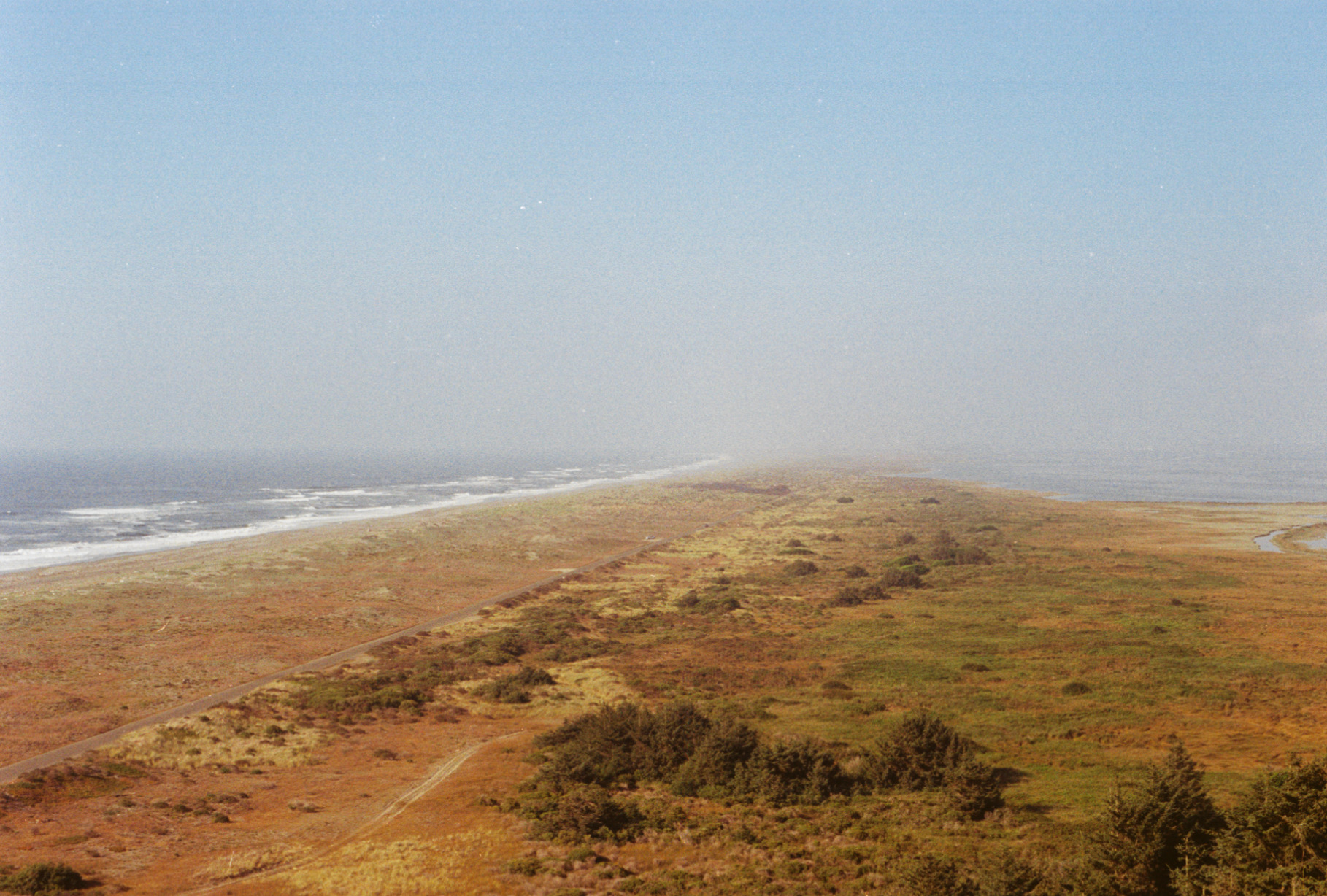
Table Bluff (Wiyot: ''Giloulh'') is a semi-flat terrace in Humboldt County, California, that terminates above the ocean in a dramatic, high cliff with views of the Eel River delta, the South Spit of Humboldt Bay, and the Pacific Ocean. It separates Humboldt Bay to the north from the Eel River to the south. It overlooks approximately 9,000 acres (36 km²) of wildlands administered by various federal and county agencies. It is south of Eureka and west of US Highway 101. Table Bluff County Park provides access to the South Spit. The park is also used as a hang-gliding and paragliding staging area. The federally endangered western lily, Lilium occidentale, is found growing on Table Bluff at Table Bluff Ecological Reserve. History Early explorers of the bay called the landform Ridge Point and Brannan Bluff, but by 1851 Table Bluff had stuck. Seth Kinman was an early resident. Because of its rich soil, Table Bluff has been the site of a small agricultural community since the 185 ... [...More Info...] [...Related Items...] OR: [Wikipedia] [Google] [Baidu] |


