|
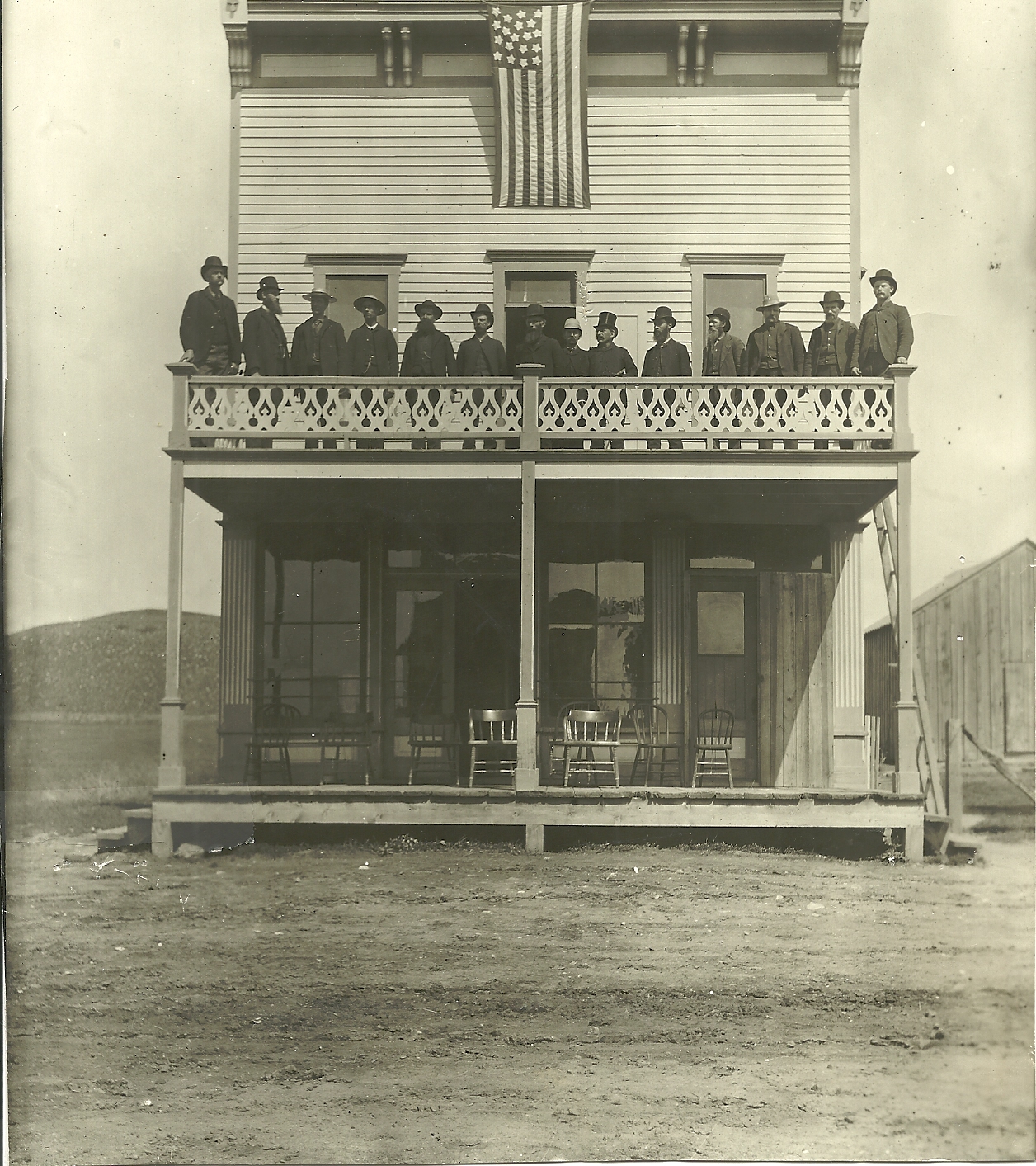
Edson, South Dakota
Edson is a ghost town in Meade County, in the U.S. state of South Dakota South Dakota (; Sioux language, Sioux: , ) is a U.S. state, state in the West North Central states, North Central region of the United States. It is also part of the Great Plains. South Dakota is named after the Dakota people, Dakota Sioux .... History Edson was laid out in 1909 by R. P. Edson, and named for him. A post office called Edson was established in 1910, and remained in operation until 1949. References Ghost towns in South Dakota Geography of Meade County, South Dakota {{SouthDakota-geo-stub ... [...More Info...] [...Related Items...] OR: [Wikipedia] [Google] [Baidu] |
Ghost Town
A ghost town, deserted city, extinct town, or abandoned city is an abandoned settlement, usually one that contains substantial visible remaining buildings and infrastructure such as roads. A town often becomes a ghost town because the economic activity that supported it (usually industrial or agricultural) has failed or ended for any reason (e.g. a host ore deposit exhausted by mining). The town may have also declined because of natural or human-caused disasters such as floods, prolonged Drought, droughts, extreme heat or extreme cold, government actions, uncontrolled lawlessness, war, pollution, or nuclear and radiation accidents and incidents, nuclear and radiation-related accidents and incidents. The term can sometimes refer to cities, towns, and neighborhoods that, though still populated, are significantly less so than in past years; for example, those affected by high levels of unemployment and dereliction. Some ghost towns, especially those that preserve period-specific ... [...More Info...] [...Related Items...] OR: [Wikipedia] [Google] [Baidu] |
Meade County, South Dakota
Meade County is a county in the U.S. state of South Dakota. As of the 2020 census, the population was 29,852, making it the 6th most populous county in South Dakota. Its county seat is Sturgis. The county was created in 1889 and named for Fort Meade, which was garrisoned as a United States military post in the area in 1878 and itself named for General George Meade. Meade County is part of the Rapid City metropolitan area. Geography The upper part of Meade County is drained by Cherry Creek. The Cheyenne River flows northeastward along the southeast boundary of the county. The county terrain has mountain ridges in the west and southwest areas, with the remainder consisting of semi-arid rolling hills, partly dedicated to agriculture. The county terrain slopes to the east and northeast; its highest point Flagstaff Mountain is near the southwest corner, at ASL. The county has an area of , of which is land and (0.3%) is water. It is South Dakota's largest county by area. Ma ... [...More Info...] [...Related Items...] OR: [Wikipedia] [Google] [Baidu] |
South Dakota
South Dakota (; Sioux language, Sioux: , ) is a U.S. state, state in the West North Central states, North Central region of the United States. It is also part of the Great Plains. South Dakota is named after the Dakota people, Dakota Sioux tribe, which comprises a large portion of the population—with nine Indian reservation, reservations in the state—and has historically dominated the territory. South Dakota is the List of U.S. states and territories by area, 17th-largest by area, the List of U.S. states and territories by population, fifth-least populous, and the List of U.S. states and territories by population density, fifth-least densely populated of the List of U.S. states, 50 United States. Pierre, South Dakota, Pierre is the List of capitals in the United States, state capital, and Sioux Falls, South Dakota, Sioux Falls, with a population of about 213,900, is South Dakota's List of cities in South Dakota, most populous city. The state is bisected by the Missouri Ri ... [...More Info...] [...Related Items...] OR: [Wikipedia] [Google] [Baidu] |
Ghost Towns In South Dakota
This is an incomplete list of ghost towns in South Dakota, United States of America. Classification Ghost towns can include sites in various states of disrepair and abandonment. Some sites no longer have any trace of civilization and have reverted to pasture land or empty fields. Other sites are unpopulated but still have standing buildings. Barren site * Sites no longer in existence or have been destroyed * Deserted or barren * Covered with water * Reverted to pasture * May have a few difficult-to-find foundations/footings at most Neglected site * Only rubble left * Buildings or houses still standing, but majority are roofless Abandoned site * Building or houses still standing but all abandoned * No population, except possibly a caretaker * Site no longer in existence except for one or two buildings Ghost towns A through B C through D E through H I through L M through O P through R S through T V through Z Notes References * * * * * {{DEFA ... [...More Info...] [...Related Items...] OR: [Wikipedia] [Google] [Baidu] |


