|
Eastry Rural District
Eastry Rural District was a rural district in the county of Kent, England, from 1894 to 1974. It was subject to a significant boundary reform in 1935 when several parishes were gained from the disbanded Isle of Thanet Rural District The Isle of Thanet Rural District was a rural district covering part of the Isle of Thanet in the county of Kent, England, from 1894 to 1935. Most of its former area is now part of the Thanet district. When the district was created several anc ... and other parishes were reorganised. It included the following civil parishes:http://www.visionofbritain.org.uk/relationships.jsp;jsessionid=CFE9E2ABF6DF361C26C1988279FBAD53?u_id=10001754 References {{coord , 51, 16, N, 1, 18, E, type:adm2nd_region:GB-KEN, display=title Districts of England created by the Local Government Act 1894 History of Kent Thanet Rural districts of England Districts of England abolished by the Local Government Act 1972 ... [...More Info...] [...Related Items...] OR: [Wikipedia] [Google] [Baidu] |
Sandwich, Kent
Sandwich is a town and civil parish in the Dover District of Kent, south-east England. It lies on the River Stour and has a population of 4,985. Sandwich was one of the Cinque Ports and still has many original medieval buildings, including several listed public houses and gates in the old town walls, churches, almshouses and the White Mill. While once a major port, it is now two miles from the sea due to the disappearance of the Wantsum Channel. Its historic centre has been preserved. Sandwich Bay is home to nature reserves and two world-class golf courses, Royal St George's and Prince's. The town is also home to many educational and cultural events. Sandwich also gave its name to the food by way of John Montagu, 4th Earl of Sandwich, and the word ''sandwich'' is now found in several languages. Etymology The place-name 'Sandwich' is first attested in the ''Anglo-Saxon Chronicle'', where it appears as ' in 851 and ' in 993. In the ''Domesday Book'' of 1086 it appears as '. T ... [...More Info...] [...Related Items...] OR: [Wikipedia] [Google] [Baidu] |
Great Mongeham
Great Mongeham is a village and civil parish in the Dover District of east Kent, England, on the outskirts of Deal. Its name is derived from Mundelingham or village of Mundel. Parts of Great Mongeham's church, St Martin's, date back to the 13th century. In the 19th century it was restored by William Butterfield. Locally produced ice cream and sausages found favour with Queen Elizabeth The Queen Mother, who, as Lord Warden of the Cinque Ports, often stayed in her nearby official residence, Walmer Castle. Significant figures who have lived in the village include Captain Robert Maynard, Stephen Haggett, Proctor of Queens' College, Cambridge in the seventeenth century and Olivia Barclay, astrologer. Great Mongeham may have been a settlement as long ago as the Bronze Age. When the site for the new primary school was being dug in February 1949 the body of a man and two fragments of food vessels were found. The man was in the crouched burial position used in the Bronze Age and on ... [...More Info...] [...Related Items...] OR: [Wikipedia] [Google] [Baidu] |
Stourmouth
Stourmouth is a civil parish in the Dover non-metropolitan district of Kent, England. The parish contains the settlements of East and West Stourmouth, and the hamlet of Plucks Gutter. The 'Stourmouth' name derives from a village that was at the mouth of the River Stour before the Wantsum Channel was cut off from the sea. East Stourmouth is the main population centre, on the B2048 road that bridges the River Stour at Plucks Gutter. It is referred to as 'Stourmouth' on road signs. It has no church, nor any public buildings. The Rising Sun public house was built in 1372 as a bakery, and is today used as the parish polling station for elections. Until the 1970s there was a village post office and bakery. West Stourmouth village is the site of the parish church which dates to Saxon times, but other than a vicarage, West Stourmouth consists of a few scattered farms. See also *All Saints Church, West Stourmouth All Saints Church, West Stourmouth, is a redundant Anglican church i ... [...More Info...] [...Related Items...] OR: [Wikipedia] [Google] [Baidu] |
Staple, Kent
Staple is a village and civil parish in east Kent, England. The village lies southwest of the nearby village of Ash and the town of Sandwich, and east of Canterbury. History The village is west of the Bronze Age site at Ringlemere and east of the Roman and Mesolithic sites at Wingham. The village church, dedicated to St James the Great, dates to the Saxon period but there have been Bronze Age finds in the land surrounding the village. Staple is one of the few places in Kent that does not appear in the 1086 ''Domesday Book'', because it was appendant to Adisham, which lies to its southwest but is separated from it by the hundred and parish of Wingham. Together Adisham and Staple formed the Hundred of Downhamford. Staple is situated near the end of an arm of the Wantsum Channel, all that survives of which is the Durlock stream (possibly derived from the Celtic *''duro-'' "settlement" and *''loccu-'' "lake, pool", attesting the presence of the former channel). In prehistoric times ... [...More Info...] [...Related Items...] OR: [Wikipedia] [Google] [Baidu] |
Sarre, Kent
Sarre is a village and civil parish in Thanet District in Kent, England. The village is a part of St. Nicholas-at-Wade ecclesiastical parish, after having lost the local church of St. Giles in Elizabethan times; the ecclesiastical parishes were subsequently combined. In its own right Sarre is an ''Ancient Parish''. It has a population of 130, increasing to 222 at the 2011 Census. Sarre is located at the point where the old 'Island Road' from Margate to Canterbury crossed the Wantsum Channel initially by a ferry and from the late Middle Ages by a bridge. The route of this bridge is followed by a short section of the modern A28 and is still marked on some maps as Sarre Wall. History Mediaeval The important late Roman or early Anglo-Saxon '' Sarre Brooch'' was found near the village; it is now on display in the British Museum (near the Sutton Hoo finds), along with many other important early mediaeval artefacts from the same cemetery. The coastal confederation of Cinque Po ... [...More Info...] [...Related Items...] OR: [Wikipedia] [Google] [Baidu] |
St Nicholas-at-Wade
St Nicholas-at-Wade (or St Nicholas) is both a village and a civil parish in the Thanet District of Kent, England. The parish had a recorded population of 782 at the 2001 Census, increasing to 852 at the 2011 census. The village of Sarre is part of the civil parish. The village is best known locally for the local custom of Hoodening, a type of mumming, as well as for its prolific potato production. History The name derives from its location on the western border of the Isle of Thanet (originally separated from the Kent mainland). Before the channels of the River Wantsum and River Stour silted up, one would have been able to 'wade' at this point, over a ford. In Roman times the channel was navigable and the site likely very busy with the Saxon Shore forts of Regulbium (Reculver) and Rutupiae (Richborough) both close by. Remains of Roman shipbuilding yards are said to have been found between St. Nicholas-at-Wade and the nearby village of Sarre Village The village can be ent ... [...More Info...] [...Related Items...] OR: [Wikipedia] [Google] [Baidu] |
Ripple, Kent
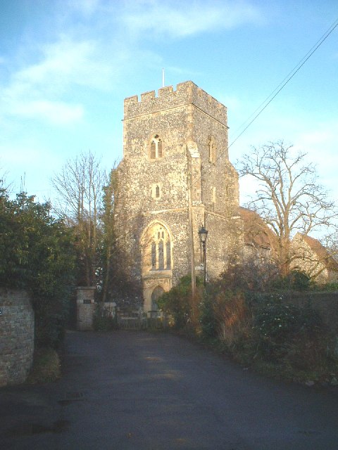
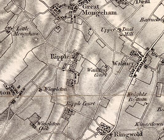
Ripple, also known as 'Ripple Vale', is a village and civil parish in the Dover District of Kent, England. Ripple parish church is dedicated to St Mary the Virgin; the village pub is The Plough. History The meaning of the word Ripple, stems from Old English, meaning 'A strip of land'. In the 1870s, Ripple was described as: RIPPLE, a parish in Eastry district, Kent; near the coast, 2½ miles S W of Deal r. station. Post-town, Deal. Acres, 1, 134. Real property, £2, 676. Pop., 254. Houses, 51. The property is divided among a few. R. House, R. Court, and R. Vale are chief residences. Traces of a Roman entrenchment are a little to the N of the church; and another ancient entrenchment, anoblong of about ½ an acre, is called Dane Pits. The living is a rectory in the diocese of Canterbury. Value, £278.* Patron, J. A. Johnson, Esq. The church was rebuilt in 1861; is in a mixed style, chiefly Norman; and has a tower and spire. John French, 1st Earl of Ypres, the commander of the fi ... [...More Info...] [...Related Items...] OR: [Wikipedia] [Google] [Baidu] |
Monkton, Kent
Monkton is a village and civil parish in the Thanet District of Kent, England. The village is located at the south-west edge of the Isle of Thanet and is situated mainly along the B2047 road, leading off the A253 road between Canterbury and Ramsgate. The civil parish stretches south to the River Stour and northwards towards Acol. The hamlet of Gore Street is included in the parish. Community Monkton was subject to an explosion during 2007, and was largely evacuated as a result. Kent Fire and Rescue Service said that crews were faced with "a well developed fire in a large single-storey building", which was among the largest in the village. Monkton Nature Reserve, run by the environmental charity, Thanet Countryside Trust, is situated on chalk hills to the north of the village. The reserve is set in a abandoned chalk quarry which has been reclaimed by nature. It is notable for its geology and many important habitats, a pond and rare orchids. It also houses the Thanet Astronom ... [...More Info...] [...Related Items...] OR: [Wikipedia] [Google] [Baidu] |
Minster-in-Thanet
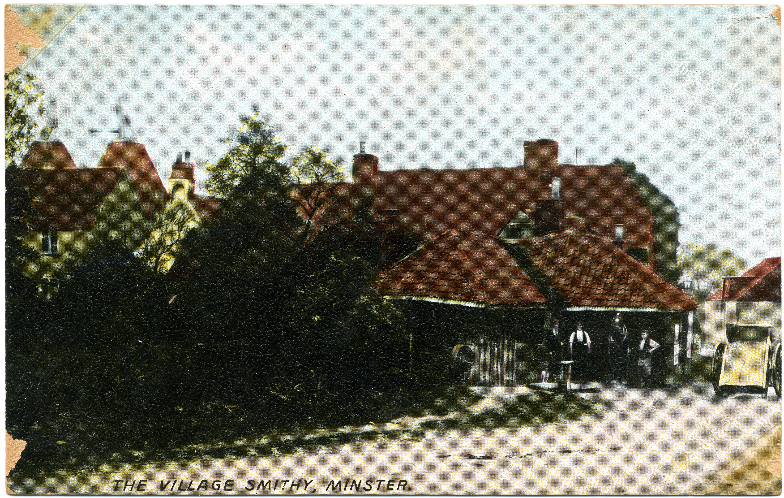
Minster, also known as Minster-in-Thanet, is a village and civil parish in the Thanet District of Kent, England. It is the site of Minster in Thanet Priory. The village is west of Ramsgate (which is the post town) and to the north east of Canterbury; it lies just south west of Kent International Airport and just north of the River Stour. Minster is also the "ancient capital of Thanet".Minster-In-Thanet ; retrieved on 22 May 2008 At the 2011 Census the hamlet of Ebbsfleet was included. Toponymy The name ultimately comes from the ''monasterium'', denoting the hi ...[...More Info...] [...Related Items...] OR: [Wikipedia] [Google] [Baidu] |
Sutton, Kent
Sutton is a village and civil parish near Dover in Kent, England. In 1935 this village became a parish when the small settlements of Studdal, Sutton, Ashley, Little Mongeham and Maydensole joined to become the Parish of Sutton-by-Dover. Prior to this Sutton has had a vast history of agricultural practices, which has helped sustain the village into the parish it is today. The quoted population includes the villages of East and West Studdal plus Swingate and the hamlet of Little Mongeham. Leisure and Recreation The parish of Sutton has various recreational areas scattered throughout its settlements. For example, there is a sports field located on the north side of Downs Road, which consists of a large field divided into a children's playground area, and containing both a BMX track and a games pitch. The allotments and community orchard, which are situated north of Chapel Lane and accessible via a path along the roadside, have been planted with traditional English apples trees, ... [...More Info...] [...Related Items...] OR: [Wikipedia] [Google] [Baidu] |
Little Mongeham
Little Mongeham is a small hamlet near Dover in Kent, southeast England. The main buildings are Little Mongeham House and Manor Farm. The population of the hamlet is included in the civil parish of Sutton. Little Mongeham was until the early twentieth century a parish in its own right, including Studdal and Maidensole, and with its own rector, The History and Topographical Survey of the County of Kent: Volume 9, Edward Hasted though the church has long since been in ruins, the foundations can still be found just to the southwest of the double bend in Willow Road through the village. The scholar Richard James (scholar), Richard James held the |
Knowlton, Kent
Knowlton was an eccesiastical and civil parish; the former was abolished in 194 the latter in 193 and the hamlet is now part of Goodnestone, Dover, Goodnestone civil parish. It is located about 10 miles (16 km) north of Dover in Kent, England. ''Knowlton Hall'', set in of parkland, is located here. The Church of St Clement is now redundant and in the care of the Churches Conservation Trust, and is open daily. Knowlton is a thankful village, in that it did not lose anyone in World War I World War I (28 July 1914 11 November 1918), often abbreviated as WWI, was one of the deadliest global conflicts in history. Belligerents included much of Europe, the Russian Empire, the United States, and the Ottoman Empire, with fightin .... It was once served (1916-1948), by a halt on the East Kent Light Railway, one of Colonel Stephen's lines, which ran between Sheperdswell & Wingham. External links * The Knowlton family and Knowlton Hall Villages in Kent Dover Dist ... [...More Info...] [...Related Items...] OR: [Wikipedia] [Google] [Baidu] |
_-_geograph.org.uk_-_650895.jpg)


