|
Eastern Province, Kenya
The Eastern Province ( sw, Mashariki) of Kenya was one of 8 Provinces of Kenya. Its northern boundary ran along with that of Ethiopia; the North Eastern Province and Coast Province lay to the east and south; and the remainder of Kenya's provinces, including Central Province, ran along its western border. The provincial capital was Embu. Overview On 16 July 2009, the province was sub-divided into 3 Sub-Provinces namely lower eastern with Machakos as headquarters, central eastern with Meru as headquarters, and upper eastern with Marsabit as headquarters; however those changes never took effect due to the political wrangles in the Kenyan coalition government at the time. The sub-division of provinces were carried out in all seven Provinces of Kenya, excluding Nairobi. As of March 2013 after the Kenyan general election, 2013, the Eastern Province was subdivided into 8 counties namely: The province was principally inhabited by the Meru, Kamba and Embu and several pastorali ... [...More Info...] [...Related Items...] OR: [Wikipedia] [Google] [Baidu] |
Provinces Of Kenya
Kenya's provinces were replaced by a system of counties in 2010. History Before the new constitution of Kenya that came into force on August 27, 2010, Kenya was divided into eight provinces (see map). The provinces were subdivided into 46 districts (excluding Nairobi) which were further subdivided into 262 divisions. The divisions were subdivided into 2,427 locations and then 6,612 sublocations.Central Bureau of Statistics (Kenya)Census cartography: The Kenyan Experience/ref> A province was administered by a Provincial Commissioner (PC). Kenyan local authorities mostly do not follow common boundaries with divisions. They are classified as City, Municipality, Town or County councils. A third discrete type of classification are electoral constituencies. They are electoral areas without administrative functions, and are further subdivided into wards. Former provinces # Central Kenya # Coastal Kenya # East Kenya # Nairobi Nairobi ( ) is the capital and largest city ... [...More Info...] [...Related Items...] OR: [Wikipedia] [Google] [Baidu] |
Isiolo County
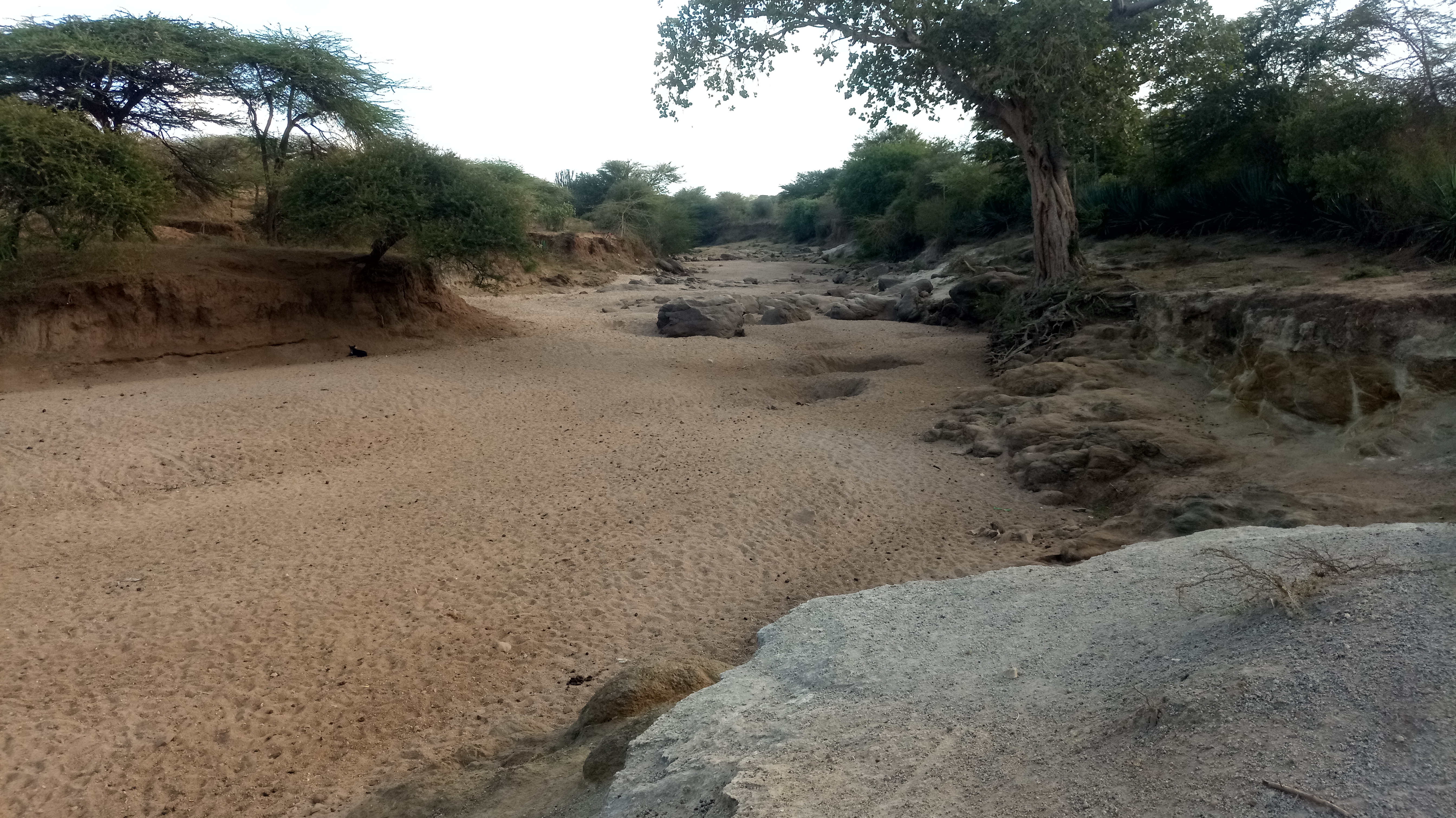
Isiolo County is a county in the former Eastern Province of Kenya. Its population is 268,002 (2019 census) and its capital and largest city is Isiolo. Isiolo County is to be the first county to be developed as part of the Kenya Vision 2030 program. Other upcoming urban centres are: Garbatulla, Modogashe, Kinna, Merti and Oldonyiro. The local topography is arid or semi-arid low plains. Ewaso Nyiro River flows through the county and partly bounds it. It borders Marsabit County to the north, Wajir County to the east, Garissa and Tana River counties to the south east, Meru County to the south, Laikipia County to the south west and Samburu County to the west. Three different National Game Reserves are located in Isiolo County: Bisanadi National Reserve, Buffalo Springs National Reserve and Shaba National Reserve. Demographics Isiolo county has a total population of 268,002 persons as 2019 census and of this 139,510 are males; 128,483 are females; 9 intersex persons. There i ... [...More Info...] [...Related Items...] OR: [Wikipedia] [Google] [Baidu] |
Embu People
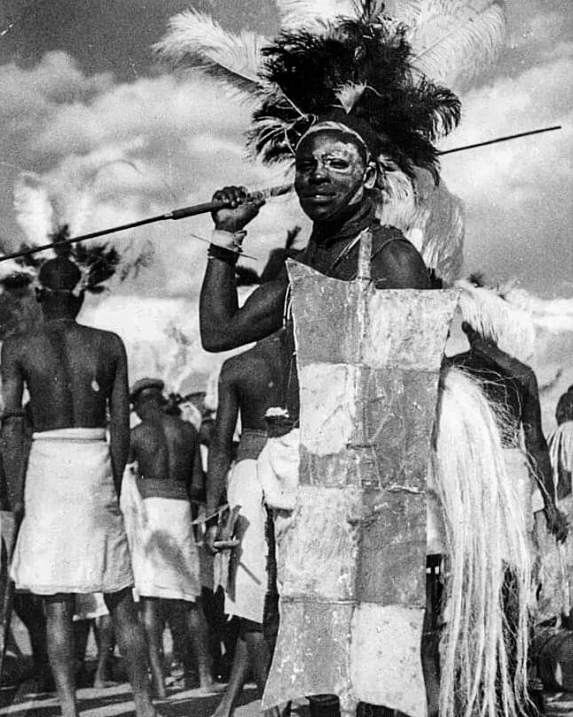
The Embu are a Bantu people inhabiting Embu county in Kenya. They speak the Embu language as a mother tongue. To the south of Embu are to be found their cousins, the Mbeere people. In essence Embu county encompasses the ethnic Kî embu dialect (Embu proper), from whom the Embu county's name derives, and the Kimbere dialect spoken by their Mbeere counterparts who inhabit the lower reaches of the county. Historically, both were just referred to as the Embu people. To the west, Embu neighbours are the closely related Kikuyu in Kirinyaga, Nyeri, Kiambu, Muranga and Nyandarua counties. The Meru people border the Embu to the East. Origin The Embu are of Bantu origin.Arnold Curtis, ''Kenya: a visitor's guide'', (Evans Brothers: 1985), p.7. They inhabit the southern windward slopes and farmlands of Mount Kenya. Along with their closely related Eastern Bantu neighbors the Kikuyu, Mĩĩrũ, Mbeere and Kamba the Embu are believed to have entered their present habitat from the coast of ... [...More Info...] [...Related Items...] OR: [Wikipedia] [Google] [Baidu] |
Kamba People
The Kamba or Akamba (sometimes called Wakamba) people are a Bantu ethnic group who predominantly live in the area of Kenya stretching from Nairobi to Tsavo and north to Embu, in the southern part of the former Eastern Province. This land is called ''Ukambani'' and constitutes Makueni County, Kitui County and Machakos County. They also form the second largest ethnic group in 8 counties including Nairobi and Mombasa counties. Origin The Kamba are of Bantu origin.Joseph Bindloss, Tom Parkinson, Matt Fletcher, ''Lonely Planet Kenya'', (Lonely Planet: 2003), p.35. They are closely related in language and culture to the Kikuyu, the Embu, the Mbeere and the Meru, and to some extent relate closely to the Digo and the Giriama of the Kenyan coast. Kambas are concentrated in the lowlands of southeast Kenya from the vicinity of Mount Kenya to the coast. The first group of Kamba people settled in the present-day Mbooni Hills in the Machakos District of Kenya in the second half of ... [...More Info...] [...Related Items...] OR: [Wikipedia] [Google] [Baidu] |
Meru People
The Meru or Amîîrú (including the Ngaa) are a Bantu ethnic group that inhabit the Meru region of Kenya on the fertile lands of north and eastern slopes of Mount Kenya, in the former Eastern Province of Kenya. The word Meru means Shining Light in Kimîîrú language. In Kiswahili, it is Ng'aa, a Bantu word meaning "Dazzling Shine" in both Kimîîrú and Kiswahili languages. Ameru in Kimîîrú language therefore means The Shining Ones or The Children Of The Shining One. The Ameru people comprise nine sections: the Igoji, Imenti, Tigania, Mitine, Igembe, Mwimbi, Muthambi, Chuka and Tharaka. The Tharaka live in the semi-arid part of the greater Meru and they, together with the Mwimbi, Muthambi and Chuka, form the Tharaka-Nithi County. The Ameru are however unrelated to the Wameru of northern Tanzania, other than both being avid farming Bantu communities. Languages The Ngaa people known as Meru speak the Kimîîrú language. Kimîîrú, Kikamba, Kiembu, Kimbeere and Kik ... [...More Info...] [...Related Items...] OR: [Wikipedia] [Google] [Baidu] |
Wote, Kenya
Wote is a town in Kenya. It is the capital of Makueni County in the former Eastern Province. It forms a town council with a population of 56,419, of whom 5,542 are classified urban (1999 census). Wote town has six wards: Kako, Kaumoni, Kikumini, Muvau, Nziu and Wote. Most of them are located in Makueni Constituency, but Kako ward belongs to Mbooni Constituency and Kaumoni ward to Kaiti Constituency Kaiti Constituency is an electoral constituency in Kenya. It is one of six constituencies in Makueni County Makueni County (formerly Makueni District) is a county in the former Eastern Province of Kenya. Its capital and largest town is Wote. Th ....Electoral Commission of Kenya''Registration centres by electoral area and constituency''/ref> Wote is also headquarters of Wote division of Makueni District. References {{First and second-level administrative divisions of Kenya Makueni County Populated places in Makueni County County capitals in Kenya ... [...More Info...] [...Related Items...] OR: [Wikipedia] [Google] [Baidu] |
Makueni County
Makueni County (formerly Makueni District) is a county in the former Eastern Province of Kenya. Its capital and largest town is Wote. The county has a population of 987,653 (2019 census). The county lies between Latitude 1° 35' and 2° 59' South and Longitude 37° 10' and 38° 30' East. It borders Machakos to the North, Kitui to the East, Taita Taveta to the South and Kajiado to the West and covers an area of 8,008.9 km2. Physical and topical features The county has a number of prominent features in including volcanic Chyullu hills which lie along the South West border of the county Mbooni hills in Mbooni sub county and Kilungu and Iuani hills in Kaiti sub county, Makongo forest and scenic view, Makuli forest and Nzaui hill. Climatic conditions The county experience semi-arid climatic conditions with an average temperature range between 15C – 26C and Annual rainfall ranges between 250mm to 400mm per annum on the lower regions of the county and the higher region rece ... [...More Info...] [...Related Items...] OR: [Wikipedia] [Google] [Baidu] |
Machakos County
Machakos County is one of the 47 counties of Kenya, which came into being because of the devolved system of governance occasioned by the 2010 constitution of Kenya. The country's first administrative headquarters are in Machakos Town, which is the largest town in the county. The county had a population of 1,421,932 as of 2019. The county borders Nairobi and Kiambu counties to the west, Embu to the north, Kitui to the east, Makueni to the south, Kajiado to the south west, and Muranga and Kirinyaga to the north west. Government The Machakos County Government is composed of two arms, the County Executive and the County Assembly. County Executive is headed by a Governor. The office of the Governor of Machakos was created on 27 March 2013. Alfred Mutua, served as the inaugural holder of the office. following his election in 2012. He was re-elected in the 2017 general elections. The Machakos County Assembly is headed by a Speaker elected by its members. The incumbent Speaker i ... [...More Info...] [...Related Items...] OR: [Wikipedia] [Google] [Baidu] |
Kitui
Kitui is a town and capital of Kitui County in Kenya, 180 kilometres east of Nairobi and 105 kilometres east of Machakos. it covers an area approximately 30,496.4 km squares and lies between latitudes 0°10 South and 3°0 South and longitudes 37°50 East and 39°0 East. It borders seven counties i.e Machakos and Makueni counties to the west, Tana River County to the east and south-east, Taita Taveta County to the south, Embu to the north-west, and Tharaka-Nithi and Meru counties to the north. Kitui became the headquarters of Kitui County after the adoption of the new constitution and the devolved government. Overview The name Kitui means ‘a place where iron goods are made’. The Kamba iron-smiths who settled in the county many years before the colonial period are the ones who named the area Kitui. Kitui had a population of 155,896 in 2009 making it the 12th largest urban centre in Kenya in terms of population. It is the largest urban centre in the county followed by Mwi ... [...More Info...] [...Related Items...] OR: [Wikipedia] [Google] [Baidu] |
Kitui County
Kitui County is a county in the former Eastern Province of Kenya. Its capital and largest town is Kitui, although Mwingi is also another major urban centre. The county has a population of 1,136,187 (2019 census). and an area of 30,430 km2. It lies between latitudes 0°10 South and 3°0 South and longitudes 37°50 East and 39°0 East. Kitui County shares its borders with seven counties; Tharaka-Nithi and Meru to the north, Embu to the northwest, Machakos and Makueni to the west, Tana River to the east and southeast, and Taita-Taveta to the south. History The name Kitui means 'a place where iron goods are made'. The Kamba iron-smiths who settled in the county many years before the colonial period are the ones who named the area Kitui. Demographics Kitui county has a total population of 1,136,187 of which 549,003 are males, 587,151 females and33 intersex persons. There are 262,942 household with an average household size of 4.3 persons per household and a population de ... [...More Info...] [...Related Items...] OR: [Wikipedia] [Google] [Baidu] |
Embu County
Embu County is a county of Kenya. The capital of Embu County and the former Eastern province headquarters, Embu is a large and largely metropolitan area with a population of 608,599 persons. The county borders Kirinyaga to the west, Kitui to the east, Tharaka Nithi to the north, Machakos to the south. The county occupies an area of 2,821 km2. Administrative and political units The county is divided into 5 sub-counties, with a total of 20 county assembly wards, 51 locations and 127 locations. Source Administrative divisions Administrative Subdivision Embu County is divided into five districts; namely, Embu West with headquarters at Embu town, and Embu North with headquarters at Manyatta. These two form Manyatta constituency, Embu East with headquarters at Runyenjes, Mbeere North with headquarters at Siakago, and Mbeere South with headquarters at Kiritiri market. *The term "Sub County" is envisaged in the County Governments' context where it is synonymous to "Const ... [...More Info...] [...Related Items...] OR: [Wikipedia] [Google] [Baidu] |
Chuka, Kenya
Chuka is a town on the eastern slopes of Mount Kenya, in Kenya about 65 km south Of Meru Town. It falls within Tharaka-Nithi County and the former Eastern Province. Between 1992 and 2009, Chuka was the capital of Tharaka Nithi District (split off from Meru District). Tharaka Nithi District was further split into Meru South and Tharaka Districts with Chuka remaining the Capital of Meru South. Later, Meru South and Tharaka were amalgamated into Tharaka-Nithi County. Chuka people The people of the area are Gichuka speaking, a dialect of the Kimeru language. Chuka Town is chiefly occupied by the Chuka people, one of the nine Meru dialect Speakers. They dwell on the south-eastern slopes of Mt. Kenya, and cover the area between the Thuci River in the south, and the Nithi River in the north. It is a common tradition with the Chuka that they have always been in the forests of Mt. Kenya hence they moved down to their present abode. Other versions of the Chuka migratory tradition s ... [...More Info...] [...Related Items...] OR: [Wikipedia] [Google] [Baidu] |


