|
Eastern High School (Washington, D.C.)
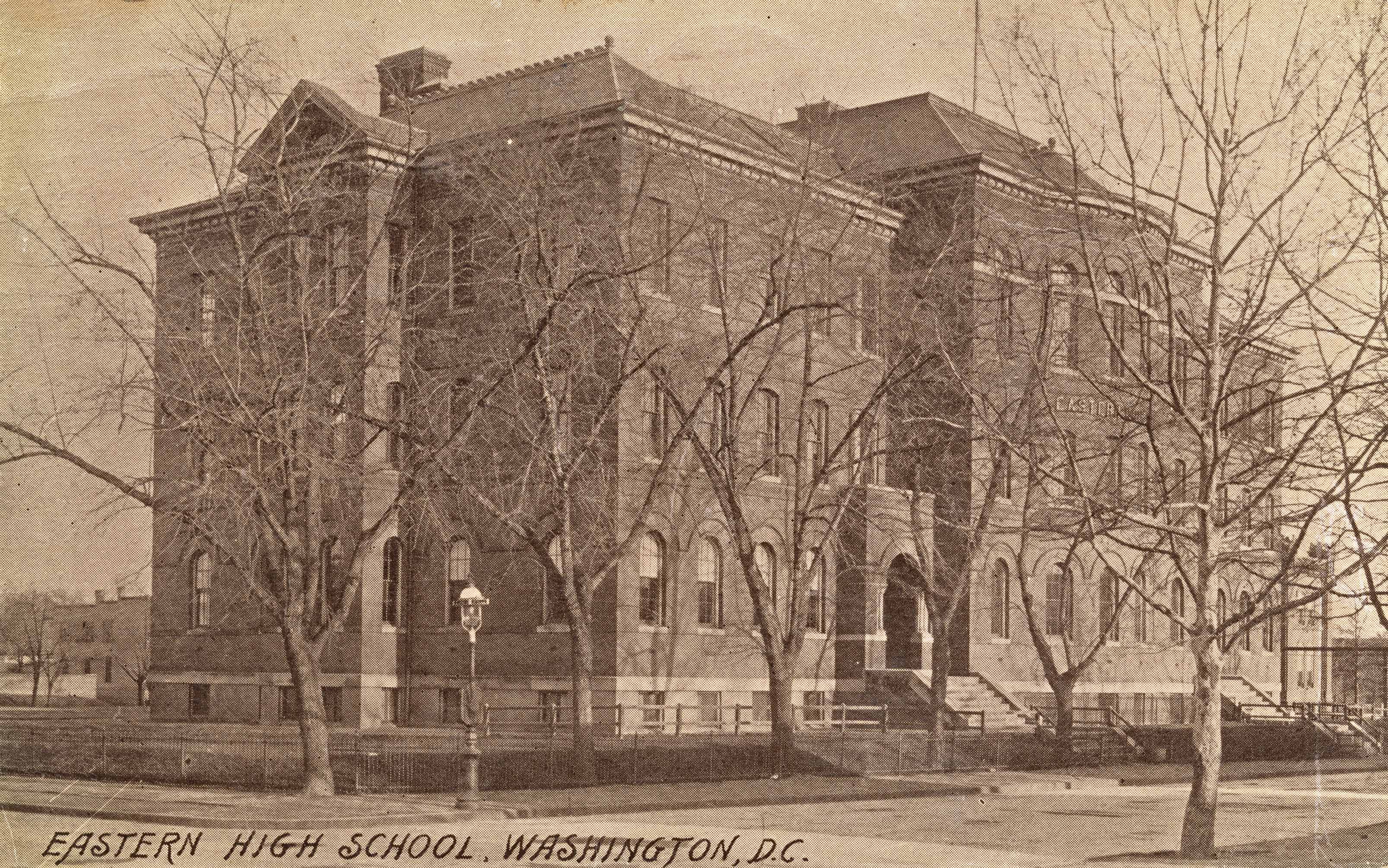
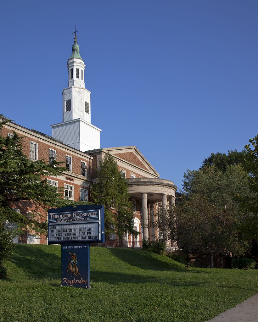
Eastern High School is a public high school in Washington, D.C. As of the 2021–2022 school year, it educates 735 students in grades 9 through 12. The school is located in the eastern edge of the Capitol Hill neighborhood, at the intersection of 17th Street and East Capital Street Northeast. Eastern was a part of the District of Columbia Public Schools restructuring project, reopening in 2011 to incoming first-year students and growing by a grade level each year. It graduated its first class in 2015. Eastern is part of the District of Columbia Public Schools. It was founded in 1890 as the Capitol Hill High School and was later relocated and rebuilt in the collegiate gothic style and renamed Eastern Senior High School. It is one of the oldest continuously operating high schools in the District of Columbia. Eastern was designated an International Baccalaureate school in 2013 and awarded its first IB diploma in 2015. History Established in 1890 as the Capitol Hill High School, the ... [...More Info...] [...Related Items...] OR: [Wikipedia] [Google] [Baidu] |
Washington, D
Washington commonly refers to: * Washington (state), United States * Washington, D.C., the capital of the United States ** A metonym for the federal government of the United States ** Washington metropolitan area, the metropolitan area centered on Washington, D.C. * George Washington (1732–1799), the first president of the United States Washington may also refer to: Places England * Washington, Tyne and Wear, a town in the City of Sunderland metropolitan borough ** Washington Old Hall, ancestral home of the family of George Washington * Washington, West Sussex, a village and civil parish Greenland * Cape Washington, Greenland * Washington Land Philippines * New Washington, Aklan, a municipality *Washington, a barangay in Catarman, Northern Samar *Washington, a barangay in Escalante, Negros Occidental *Washington, a barangay in San Jacinto, Masbate *Washington, a barangay in Surigao City United States * Washington, Wisconsin (other) * Fort Washington (disambigu ... [...More Info...] [...Related Items...] OR: [Wikipedia] [Google] [Baidu] |
Spanish–American War
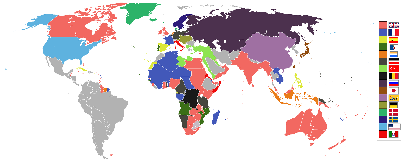
, partof = the Philippine Revolution, the decolonization of the Americas, and the Cuban War of Independence , image = Collage infobox for Spanish-American War.jpg , image_size = 300px , caption = (clockwise from top left) , date = April 21 – August 13, 1898() , place = , casus = , result = American victory * Treaty of Paris of 1898 *Founding of the First Philippine Republic and beginning of the Philippine–American War * Spain sells to Germany the last colonies in the Pacific in 1899 and end of the Spanish Empire in America and Asia. , territory = Spain relinquishes sovereignty over Cuba; cedes Puerto Rico, Guam and the Philippine Islands to the United States. $20 million paid to Spain by the United States for infrastructure owned by Spain. , combatant1 = United States * Philippine Revolutionary Army , combatant2 = Spain * Cuba * Philippine ... [...More Info...] [...Related Items...] OR: [Wikipedia] [Google] [Baidu] |
The Washington Post
''The Washington Post'' (also known as the ''Post'' and, informally, ''WaPo'') is an American daily newspaper published in Washington, D.C. It is the most widely circulated newspaper within the Washington metropolitan area and has a large national audience. Daily broadsheet editions are printed for D.C., Maryland, and Virginia. The ''Post'' was founded in 1877. In its early years, it went through several owners and struggled both financially and editorially. Financier Eugene Meyer purchased it out of bankruptcy in 1933 and revived its health and reputation, work continued by his successors Katharine and Phil Graham (Meyer's daughter and son-in-law), who bought out several rival publications. The ''Post'' 1971 printing of the Pentagon Papers helped spur opposition to the Vietnam War. Subsequently, in the best-known episode in the newspaper's history, reporters Bob Woodward and Carl Bernstein led the American press's investigation into what became known as the Waterga ... [...More Info...] [...Related Items...] OR: [Wikipedia] [Google] [Baidu] |
Beale Code
In geography and demography, a Beale code is the Rural-Urban Continuum Coding system originally developed by David L. Brown and later popularized by Calvin Beale at the United States Department of Agriculture in 1975.David L. Brown, Fred K. Hines, and John M. Zimmer, Social and Economic Characteristics of the Population in Metro and Nonmetro Counties: 197/ref> The Beale code system now is used by many other countries, such as Canada Canada is a country in North America. Its ten provinces and three territories extend from the Atlantic Ocean to the Pacific Ocean and northward into the Arctic Ocean, covering over , making it the world's second-largest country by tot .... References {{geo-term-stub Demography ... [...More Info...] [...Related Items...] OR: [Wikipedia] [Google] [Baidu] |
Calvin Beale
Calvin Lunsford Beale (June 6, 1923 – September 2, 2008) was an American demographer who specialized in rural population trends. He first identified a reverse in population decline in some rural areas, and his work led to development of the Beale code for categorizing rural development. Life and career Born in Washington, D.C., Beale graduated from Eastern High School and the Wilson Teachers College. After earning a master's degree in sociology from the University of Wisconsin, he worked at the United States Department of Agriculture for 50 years.Barringer, Felicity (September 2, 2008)Calvin L. Beale, Demographer With a Feel for Rural America, Dies at 85.''The New York Times''Wildman Jim (September 20, 2008)Traveling The Rural Road With Calvin Beale.''National Public Radio'' In addition to his work as a demographer, Beale was noted for his photographs of county courthouses across the United States. Death Beale died of colon cancer in Washington, D.C.Schudel, Matt (September ... [...More Info...] [...Related Items...] OR: [Wikipedia] [Google] [Baidu] |
Americanization (immigration)
Americanization is the process of an immigrant to the United States becoming a person who shares American culture, values, beliefs, and customs by assimilating into the American nation. This process typically involves learning the American English language and adjusting to American culture, values, and customs. The Americanization movement was a nationwide organized effort in the 1910s to bring millions of recent immigrants into the American cultural system. 30+ states passed laws requiring Americanization programs; in hundreds of cities the chamber of commerce organized classes in English language and American civics; many factories cooperated. Over 3000 school boards, especially in the Northeast and Midwest, operated after-school and Saturday classes. Labor unions, especially the coal miners, (United Mine Workers of America) helped their members take out citizenship papers. In the cities, the YMCA and YWCA were especially active, as were the organization of descendants of the ... [...More Info...] [...Related Items...] OR: [Wikipedia] [Google] [Baidu] |
DC Public Schools
The District of Columbia Public Schools (DCPS) is the local public school system for the District of Columbia, in the United States. It is distinct from the District of Columbia Public Charter Schools (DCPCS), which governs public charter schools in the city. Composition and enrollment It is the sole public school district in the District of Columbia. As of 2013, the District of Columbia Public Schools (DCPS) consisted of 111 of the 238 public elementary and secondary schools and learning centers in Washington, D.C. These schools span prekindergarten to twelfth grade. As of 2000, kindergarten students entered at 5 years old. School is compulsory for DCPS students between the ages of 5 and 18. DCPS schools typically start the last Monday in August. The school day generally lasts for about six hours. The ethnic breakdown of students enrolled in 2014 was 67% Black, 17% Hispanic (of any race), 12% non-Hispanic White, and 4% of other races. As of 2014, the District itself has ... [...More Info...] [...Related Items...] OR: [Wikipedia] [Google] [Baidu] |
Maude E
Maude may refer to: Places *Maude, New South Wales, a village on the lower Murrumbidgee River in Australia *Maude, South Australia, a locality in South Australia *Maude, Victoria, a town in Australia *Cape Maude, a high ice-covered cape forming the east end of Vaughan promontory in Antarctica *Mount Maude, a peak in the Entiat Mountains, a subrange of the North Cascades, in Washington state Other uses *Maude (name) * ''Maude'' (TV series), a 1972–1978 CBS television situation comedy starring Beatrice Arthur *Maude Flanders (fictional), wife of Ned Flanders from ''The Simpsons'' *Maude system, implementing reflective logic and rewriting logic See also *''Harold and Maude'', a 1971 cult classic movie *Matilda (other) *Maud (other) As a name Feminine given name Royal name Placename :In Antarctica: :* Queen Maud Land ( no, Dronning Maud Land, links=no), an area of 2.5 million square kilometers (1 million sq. mi.) claimed by Norway in 1938 :In Ca ... [...More Info...] [...Related Items...] OR: [Wikipedia] [Google] [Baidu] |
Southwest Waterfront
The Southwest Waterfront is a mostly residential neighborhood in Southwest Washington, D.C. The Southwest quadrant is the smallest of Washington's four quadrants, and the Southwest Waterfront is one of only two residential neighborhoods in the quadrant; the other is Bellevue, which, being east of the Anacostia River, is frequently, if mistakenly, regarded as being in Southeast. For that reason, many residents of Southwest Waterfront will refer to themselves as living in "Southwest." Southwest Waterfront is bounded by Interstate 395 to the north, Washington Channel to the west, the Anacostia River to the south, and South Capitol Street to the east. Politically, Southwest Waterfront lies in Ward 6. History Southwest Waterfront is part of Pierre L'Enfant's original city plans. It includes some of the oldest buildings in the city, including the Wheat Row block of townhouses, built in 1793, the Thomas Law House, built in 1796, and Fort McNair, which was established in 1791 a ... [...More Info...] [...Related Items...] OR: [Wikipedia] [Google] [Baidu] |
Navy Yard (Washington, D
Navy Yard may refer to: * Boston Navy Yard, Massachusetts * Brooklyn Navy Yard, the New York Naval Shipyard * Cavite Navy Yard, located in Manila Bay, the Philippines * Charleston Navy Yard, South Carolina * Mare Island Naval Shipyard, California * Norfolk Naval Shipyard, Virginia * Philadelphia Naval Shipyard, Pennsylvania * Portsmouth Naval Shipyard, Maine * Puget Sound Naval Shipyard, Washington state * San Francisco Naval Shipyard, California * Washington Navy Yard, Washington, D.C. ** Navy Yard–Ballpark station, a Metro station in Washington, D.C. ** Navy Yard, Washington, D.C., the neighborhood around the Washington Navy Yard and served by the Metro station of the same name {{disambiguation ... [...More Info...] [...Related Items...] OR: [Wikipedia] [Google] [Baidu] |
Kingman Park
Kingman Park is a residential neighborhood in the Northeast quadrant of Washington, D.C., the capital city of the United States. Kingman Park's boundaries are 15th Street NE to the west; C Street SE to the south; Benning Road to the north; and Anacostia Park to the east.Latimer, Leah Y. "An Aging Neighborhood of 'Empty Nests' Mirrors City Trend of Shifting Population." ''Washington Post.'' June 2, 1982. The neighborhood is composed primarily of two-story brick rowhousesKnight, Athelia. "Kingman Park Is Thriving on Community Spirit." ''Washington Post.'' April 2, 1988. (most of which were built when the neighborhood was founded in 1928). Kingman Park is named after Brigadier General Dan Christie Kingman, the former head of the United States Army Corps of Engineers (for whom nearby Kingman Island and Kingman Lake are also named). Early history Prior to the 1920s, Kingman Park was a largely uninhabited, wooded area located near the D.C. city dump. The area was originally on the shore ... [...More Info...] [...Related Items...] OR: [Wikipedia] [Google] [Baidu] |
Carver Langston
Carver Langston is a cluster of two neighborhoods, Carver and Langston, just south of the United States National Arboretum in Northeast Washington, D.C. The two neighborhoods are most often referred to as one, because they are two small triangular neighborhoods that together form a square of land on the western bank of the Anacostia River. Carver is the smaller and northernmost neighborhood of the two, bordered by Bladensburg Road to the west, M Street NE to the north, and Maryland Avenue to the southeast. Langston is bordered by Maryland Avenue to the northwest, 22nd and 26th Streets NE to the east, and Benning Road to the south. Directly east of the neighborhood on the very edge of the river is the Langston Golf Course, listed on the National Register of Historic Places as the first course in the United States to allow blacks; boxing champion Joe Louis was one of its most frequent visitors. Carver is named after George Washington Carver, a famous black inventor. Langston Terrac ... [...More Info...] [...Related Items...] OR: [Wikipedia] [Google] [Baidu] |


