|
Downholme
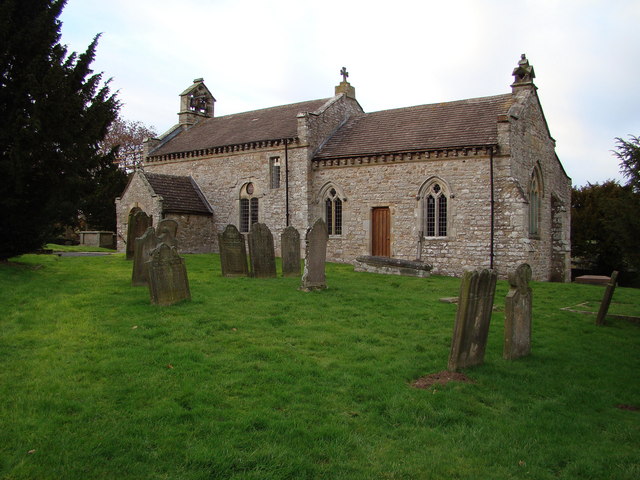
Downholme is a village and civil parish in the Richmondshire district of North Yorkshire, England. It is situated approximately west from the market town of Richmond and west from the county town of Northallerton. The village lies close to the edge of the Yorkshire Dales. The population as taken in the ONS Census of 2011 was less than 100, so details are included in the parish of Hudswell. In 2015, North Yorkshire County Council estimated the population of the village to be 50. History The village is mentioned in the ''Domesday Book'' as "Dune" with the manor belonging to Count Alan of Brittany. The lordship of the manor was granted by the Count to ''Gospatric, son of Arnketil'' around the time of the Norman Conquest. There were two ploughlands with a taxable value of 3 geld units. The manor came into the possession of Thomas de Richeburg before passing to the Leyburn family around 1184. Over the following years they granted the manor piecemeal to the abbey of St Agatha at ... [...More Info...] [...Related Items...] OR: [Wikipedia] [Google] [Baidu] |
Stainton, Richmondshire
Stainton is a hamlet and civil parish in the North Yorkshire district of North Yorkshire, England. It is located just outside the Yorkshire Dales National Park, in Swaledale. The population of the parish was estimated at 10 in 2016. It lies close to the army training camp of Wathgill in the adjoining civil parish of Walburn. A large part of the parish consists of Ministry of Defence ranges and training areas. It was historically a township in the parish of Downholme which was part of the Hang West wapentake A hundred is an administrative division that is geographically part of a larger region. It was formerly used in England, Wales, some parts of the United States, Denmark, Southern Schleswig, Sweden, Finland, Norway, the Bishopric of Ösel–Wiek, ..., North Riding of Yorkshire. Walburn became a separate civil parish in 1866. In 1974 it was transferred to the new county of North Yorkshire. References External links Villages in North Yorkshire Civil parishes ... [...More Info...] [...Related Items...] OR: [Wikipedia] [Google] [Baidu] |
River Swale
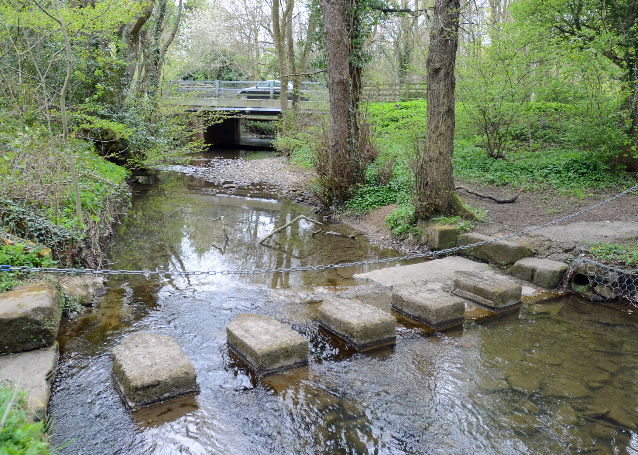
The River Swale in Yorkshire, England, is a major tributary of the River Ure, which becomes the River Ouse, that empties into the North Sea via the Humber Estuary. The river gives its name to Swaledale, the valley through which it flows. The river and its valley are home to many types of flora and fauna typical to the Yorkshire Dales. Like similar rivers in the region, the river carves through several types of rock and has features typical of both river and glacial erosion. The River Swale has been a contributory factor in the settlements that have been recorded throughout its history. It has provided water to aid in the raising of crops and livestock, but also in the various mining activities that have occurred since Roman times and before. The river is said to be the fastest flowing in England and its levels have been known to rise in 20 minutes. Annual rainfall figures average 1800 mm p.a. in the headwaters and 1300 mm p.a. in the lower waters over a drop of 14 ... [...More Info...] [...Related Items...] OR: [Wikipedia] [Google] [Baidu] |
Hudswell, North Yorkshire
Hudswell is a village and civil parish on the border of the Yorkshire Dales, in the Richmondshire district of North Yorkshire, England. The population at the ONS Census 2011 was 353. It lies approximately 2 miles west of Richmond, its nearest town, 3 miles north-west of Catterick Garrison and 12½ miles south-west of Darlington. The village public house, George & Dragon, closed in 2008 and re-opened in 2010 as a "community-owned" public house. The premises now also house a small shop and a library. Hudswell lies just south of the River Swale and the A6108, which runs through nearby Richmond. It takes the form of a 'Roadside Village', described as "...merely a string of buildings – houses, shops, inns and others – standing more or less indiscriminately." in ''The Anatomy of the village'' by Thomas Wilfred Sharp. According to the 2011 census, Hudswell has a population of 353 and 152 households. The civil parish of Hudswell contains the hamlet of Brokes, to the south. Hist ... [...More Info...] [...Related Items...] OR: [Wikipedia] [Google] [Baidu] |
A6108 Road
The A6108 road is an A roads in Great Britain, A road in North Yorkshire, England. It runs from the south of Scotch Corner to Ripon going via Richmond, North Yorkshire, Richmond and Leyburn across the moors and the valleys of Swaledale and Wensleydale. The road is long, but through traffic between the two destinations will find a shorter route of by going south on the A1 road (Great Britain), A1. The route is single carriageway for its entire length. The route was closed for traffic on 5 July 2014 between Leyburn and Ripon to accommodate Stage One of the Tour de France, Tour De France. Description of route The road starts south of Scotch Corner, heading south then south-west over Skeeby Beck on a 17th and 18th century bridge through Skeeby and into Richmond. In Richmond town there is a junction with the A6136 road, A6136 road to Catterick Garrison and Catterick Bridge. The road takes the northern flank of the town and heads west, out alongside the River Swale crossing the r ... [...More Info...] [...Related Items...] OR: [Wikipedia] [Google] [Baidu] |
Richmondshire
{{Infobox settlement , name = Richmondshire District , type = District , image_skyline = , imagesize = , image_caption = , image_blank_emblem= Richmondshire arms.png , blank_emblem_type = Coat of arms , image_map = Richmondshire UK locator map.svg , map_caption = Shown within North Yorkshire , mapsize = frameless , subdivision_type = Sovereign state , subdivision_name = United Kingdom , subdivision_type1 = Constituent country , subdivision_name1 = England , subdivision_type2 = Region , subdivision_name2 = Yorkshire and the Humber , subdivision_type3 = Administrative county , subdivision_name3 = North Yorkshire , seat_type = Admin. HQ , seat = Richmond , government_type = Richmondshire District Council , leader_title = Leadership: , leader_name = Alternative – Sec.31 , leader_title1 = Executive: , leader_name1 = {{English district contr ... [...More Info...] [...Related Items...] OR: [Wikipedia] [Google] [Baidu] |
Easby Abbey
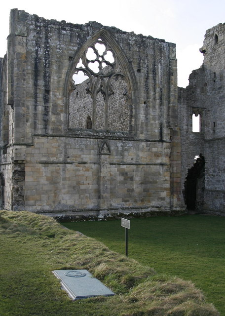
Easby Abbey, or the Abbey of St Agatha, is a ruined Premonstratensian abbey on the eastern bank of the River Swale on the outskirts of Richmond in the Richmondshire district of North Yorkshire, England. The site is privately owned but maintained by English Heritage and can be reached by a riverside walk from Richmond Castle. Within the precinct is the still-active parish church, displaying 13th-century wall paintings. History The Abbey of St Agatha, Easby, was founded in 1152 by Roald, Constable of Richmond Castle. The inhabitants were canons rather than monks. The Premonstratensians wore a white habit and became known as the White Canons. Easby was a daughter house of the Abbey of St Mary and St Martial (Newsham Abbey) in Lincolnshire; it was the third Premonstratensian house funded in England. The White Canons followed a code of austerity similar to that of Cistercian monks. Unlike monks of other orders, they were exempt from episcopal discipline. They undertook preaching and ... [...More Info...] [...Related Items...] OR: [Wikipedia] [Google] [Baidu] |
Yoredale Series
The Yoredale Series, in geology, is a now obsolete term for a local phase of the Carboniferous rocks of the north of England, ranging in age from the Asbian Substage to the Yeadonian Substage. The term Yoredale Group is nowadays applied to the same broad suite of rocks. The name was introduced by J. Phillips on account of the typical development of the phase in Yoredale (now generally known as Wensleydale), Yorkshire. Properties and condition In the Yorkshire Dales the Carboniferous rocks assume an aspect very different from that which obtains in the South. Beds of detrital sediment, sandstones, shales and occasional ironstones and thin coals separate the limestones into well-defined beds. These limestone beds have received various names of local significance (Hardraw Scar, Simonstone, Middle, Underset, Main and many others), and owing to the country being little disturbed by faulting and being much cut up by the streams, they stand out as escarpments on either side of the va ... [...More Info...] [...Related Items...] OR: [Wikipedia] [Google] [Baidu] |
Univallate Hill Fort
A hillfort is a type of earthwork used as a fortified refuge or defended settlement, located to exploit a rise in elevation for defensive advantage. They are typically European and of the Bronze Age or Iron Age. Some were used in the post-Roman period. The fortification usually follows the contours of a hill and consists of one or more lines of earthworks, with stockades or defensive walls, and external ditches. Hillforts developed in the Late Bronze and Early Iron Age, roughly the start of the first millennium BC, and were used in many Celtic areas of central and western Europe until the Roman conquest. Nomenclature The spellings "hill fort", "hill-fort" and "hillfort" are all used in the archaeological literature. The ''Monument Type Thesaurus'' published by the Forum on Information Standards in Heritage lists ''hillfort'' as the preferred term. They all refer to an elevated site with one or more ramparts made of earth, stone and/or wood, with an external ditch. Many ... [...More Info...] [...Related Items...] OR: [Wikipedia] [Google] [Baidu] |
Bronze Age
The Bronze Age is a historic period, lasting approximately from 3300 BC to 1200 BC, characterized by the use of bronze, the presence of writing in some areas, and other early features of urban civilization. The Bronze Age is the second principal period of the three-age system proposed in 1836 by Christian Jürgensen Thomsen for classifying and studying ancient societies and history. An ancient civilization is deemed to be part of the Bronze Age because it either produced bronze by smelting its own copper and alloying it with tin, arsenic, or other metals, or traded other items for bronze from production areas elsewhere. Bronze is harder and more durable than the other metals available at the time, allowing Bronze Age civilizations to gain a technological advantage. While terrestrial iron is naturally abundant, the higher temperature required for smelting, , in addition to the greater difficulty of working with the metal, placed it out of reach of common use until the end o ... [...More Info...] [...Related Items...] OR: [Wikipedia] [Google] [Baidu] |
Risedale Beck
Risedale Beck is a small river that rises on Hipswell Moor, near Catterick Garrison in North Yorkshire, England. The name derives from Old Norse as meaning either ''Risi's Valley'' (a personal name) or translated as ''a valley overgrown with brushwood''. Risedale Beck flows eastwards into Catterick Garrison as Leadmill Gill, (also known as Cottages Beck) which in turn flows into Colburn Beck, a tributary of the River Swale. The length of the beck from source to the River Swale is . As the beck passes through Catterick Garrison, its northern bank forms the edge of Foxglove Covert Foxglove Covert is a Local Nature Reserve (LNR) located on Catterick Garrison in North Yorkshire, England and is on the eastern edge of the Yorkshire Dales. The reserve was created in 1992 by The Royal Scots Dragoon Guards who had just returned ..., a nationally acclaimed nature reserve on military land. Otters have been noted at the covert and they were filmed fishing on the beck. In June 2007, th ... [...More Info...] [...Related Items...] OR: [Wikipedia] [Google] [Baidu] |
Marrick
Marrick is a village and civil parish in the Richmondshire district of North Yorkshire North Yorkshire is the largest ceremonial counties of England, ceremonial county (lieutenancy area) in England, covering an area of . Around 40% of the county is covered by National parks of the United Kingdom, national parks, including most of ..., England, situated in lower Swaledale in the Yorkshire Dales National Park, the village is approximately west of Richmond, North Yorkshire, Richmond. The parish of Marrick also includes the hamlets of Hurst and Washfold, according to the UK 2011 Census, the population of the parish was 148. History Marrick Priory, a former Benedictines, Benedictine nunnery dating back to the 12th century was the site of the local place of worship, the Church of the Virgin Mary and St. Andrew until its conversion into a farm building in 1948, and later an outdoor education and residential centre for young people. The hamlet of Hurst, to the north was a ... [...More Info...] [...Related Items...] OR: [Wikipedia] [Google] [Baidu] |
Marske, Richmondshire
Marske is a village and civil parish in the Richmondshire district of North Yorkshire, England, situated in lower Swaledale on the boundary of the Yorkshire Dales National Park, the village is approximately 5 miles (8 km) west of Richmond. According to the UK 2011 Census, the population of the parish of Marske, including New Forest was 127. The parish includes the hamlets of Applegarth, Clints, Feldom and Skelton. History The Church of St Edmund King and Martyr dates back to the 12th century. In 1870-72 John Marius Wilson's Imperial Gazetteer of England and Wales described Marske as:"A village and a parish in Richmond district, N. R. Yorkshire. The village stands on the rivulet Marske, a little above its inflnx to the Swale, 5½ miles W of Richmond r. station; and has a post office under Richmond, Yorkshire. The parish contains also the hamlets of Feldon and Skelton, and comprises 6,557 acres." Marske Hall Marske was long associated with the Hutton family, landown ... [...More Info...] [...Related Items...] OR: [Wikipedia] [Google] [Baidu] |

.png)


