|
Dunmore, Falkirk
Dunmore is a small village in the Falkirk council area of Scotland. It lies south east of Stirling and north of Falkirk. The village lies along the A905 road between Throsk and Airth on the banks of the River Forth. The population of Dunmore was recorded as 70 in the United Kingdom Census 2001, and as 79 in the census of 1991. Formerly known as Elphinstone Pans, the settlement was entirely remodelled as a planned village in the 1840s by the local landowner, the Countess of Dunmore. Dunmore is a conservation area. Landmarks The Dunmore Pineapple, an 18th-century folly owned by the National Trust for Scotland, lies south of Dunmore, on the estate of the now-derelict Dunmore Park House. Notable people *Dr L. W. Hinxman FRSE (1855-1936) a geologist and son of the local minister, Rev Charles Hinxman, was born and raised in Dunmore. See also *List of places in Falkirk council area ''Map of places in Falkirk council area compiled from this list'':See the list of places in Sc ... [...More Info...] [...Related Items...] OR: [Wikipedia] [Google] [Baidu] |
United Kingdom Census 2001
A nationwide census, known as Census 2001, was conducted in the United Kingdom on Sunday, 29 April 2001. This was the 20th UK census and recorded a resident population of 58,789,194. The 2001 UK census was organised by the Office for National Statistics (ONS) in England and Wales, the General Register Office for Scotland (GROS) and the Northern Ireland Statistics and Research Agency (NISRA). Detailed results by region, council area, ward and output area are available from their respective websites. Organisation Similar to previous UK censuses, the 2001 census was organised by the three statistical agencies, ONS, GROS, and NISRA, and coordinated at the national level by the Office for National Statistics. The Orders in Council to conduct the census, specifying the people and information to be included in the census, were made under the authority of the Census Act 1920 in Great Britain, and the Census Act (Northern Ireland) 1969 in Northern Ireland. In England and Wales the ... [...More Info...] [...Related Items...] OR: [Wikipedia] [Google] [Baidu] |
Throsk
Throsk (In gd, Badan Deathach, meaning the thicket among the mist) is a village in the Stirling council area of Scotland. It lies on the A905 road east of Fallin close to the River Forth. The United Kingdom Census 2001 recorded the population as 231. Throsk was formerly the site of the Royal Navy The Royal Navy (RN) is the United Kingdom's naval warfare force. Although warships were used by Kingdom of England, English and Kingdom of Scotland, Scottish kings from the early medieval period, the first major maritime engagements were foug ...'s Bandeath armaments depot. This closed in 1978 and now serves as an industrial estate owned by the local council. Many of the original munitions storage bunkers remain in situ as does a loading crane beside the River Forth. There was a rail bridge between Throsk and Alloa sometime called the Alloa Swing Bridge of which some video footage survives. See also * Throsk railway station Notes External links Railbrit - Throsk [...More Info...] [...Related Items...] OR: [Wikipedia] [Google] [Baidu] |
FRSE
Fellowship of the Royal Society of Edinburgh (FRSE) is an award granted to individuals that the Royal Society of Edinburgh, Scotland's national academy of science and letters, judged to be "eminently distinguished in their subject". This society received a royal charter in 1783, allowing for its expansion. Elections Around 50 new fellows are elected each year in March. there are around 1,650 Fellows, including 71 Honorary Fellows and 76 Corresponding Fellows. Fellows are entitled to use the post-nominal letters FRSE, Honorary Fellows HonFRSE, and Corresponding Fellows CorrFRSE. Disciplines The Fellowship is split into four broad sectors, covering the full range of physical and life sciences, arts, humanities, social sciences, education, professions, industry, business and public life. A: Life Sciences * A1: Biomedical and Cognitive Sciences * A2: Clinical Sciences * A3: Organismal and Environmental Biology * A4: Cell and Molecular Biology B: Physical, Engineering an ... [...More Info...] [...Related Items...] OR: [Wikipedia] [Google] [Baidu] |
National Trust For Scotland
The National Trust for Scotland for Places of Historic Interest or Natural Beauty, commonly known as the National Trust for Scotland ( gd, Urras Nàiseanta na h-Alba), is a Scottish conservation organisation. It is the largest membership organisation in Scotland and describes itself as "the conservation charity that protects and promotes Scotland's natural and cultural heritage for present and future generations to enjoy". The Trust owns and manages around 130 properties and of land, including castles, ancient small dwellings, historic sites, gardens, coastline, mountains and countryside. It is similar in function to the National Trust, which covers England, Wales, and Northern Ireland, and to other national trusts worldwide. History The Trust was established in 1931 following discussions held in the smoking room of Pollok House (now a Trust property). The Trust was incorporated on 1 May 1931, with John Stewart-Murray, 8th Duke of Atholl being elected as its first preside ... [...More Info...] [...Related Items...] OR: [Wikipedia] [Google] [Baidu] |
Folly
In architecture, a folly is a building constructed primarily for decoration, but suggesting through its appearance some other purpose, or of such extravagant appearance that it transcends the range of usual garden buildings. Eighteenth-century English landscape gardening and French landscape gardening often featured mock Roman temples, symbolising classical virtues. Other 18th-century garden follies represented Chinese temples, Egyptian pyramids, ruined medieval castles or abbeys, or Tatar tents, to represent different continents or historical eras. Sometimes they represented rustic villages, mills, and cottages to symbolise rural virtues. Many follies, particularly during times of famine, such as the Great Famine (Ireland), Great Famine in Ireland, were built as a form of poor relief, to provide employment for peasants and unemployed artisans. In English, the term began as "a popular name for any costly structure considered to have shown wikt:folly#Noun, folly in the builde ... [...More Info...] [...Related Items...] OR: [Wikipedia] [Google] [Baidu] |
Dunmore Pineapple
Dunmore from the ga, Dún Mór, link=no or gd, Dùn Mòr, link=no, meaning "great fort", may refer to: People * Dunmore (surname) * Earl of Dunmore, a title in the Peerage of Scotland, includes a list of earls * Countess of Dunmore (other), a list of wives of earls of Dunmore Places Australia * Dunmore, New South Wales, a suburb of Shellharbour City ** Dunmore railway station * Dunmore, Queensland, a rural locality in the Toowoomba Region Ireland * Dunmore, County Galway, a town * Dunmore, County Kilkenny, a civil parish in County Kilkenny * Dunmore Cave, County Kilkenny * Dunmore Head, in County kerry United States * Dunmore, Pennsylvania, a borough * Dunmore County, former name of Shenandoah County, Virginia * Dunmore, West Virginia, an unincorporated community * Lake Dunmore, Vermont Elsewhere * Dunmore Town, Bahamas * Dunmore, Alberta, Canada, a hamlet * Dunmore, Falkirk, Scotland, a village Other uses * Dunmore School District, Pennsylvania * D ... [...More Info...] [...Related Items...] OR: [Wikipedia] [Google] [Baidu] |
Conservation Area
Protected areas or conservation areas are locations which receive protection because of their recognized natural, ecological or cultural values. There are several kinds of protected areas, which vary by level of protection depending on the enabling laws of each country or the regulations of the international organizations involved. Generally speaking though, protected areas are understood to be those in which human presence or at least the exploitation of natural resources (e.g. firewood, non-timber forest products, water, ...) is limited. The term "protected area" also includes marine protected areas, the boundaries of which will include some area of ocean, and transboundary protected areas that overlap multiple countries which remove the borders inside the area for conservation and economic purposes. There are over 161,000 protected areas in the world (as of October 2010) with more added daily, representing between 10 and 15 percent of the world's land surface area. As of ... [...More Info...] [...Related Items...] OR: [Wikipedia] [Google] [Baidu] |
Catherine Murray, Countess Of Dunmore
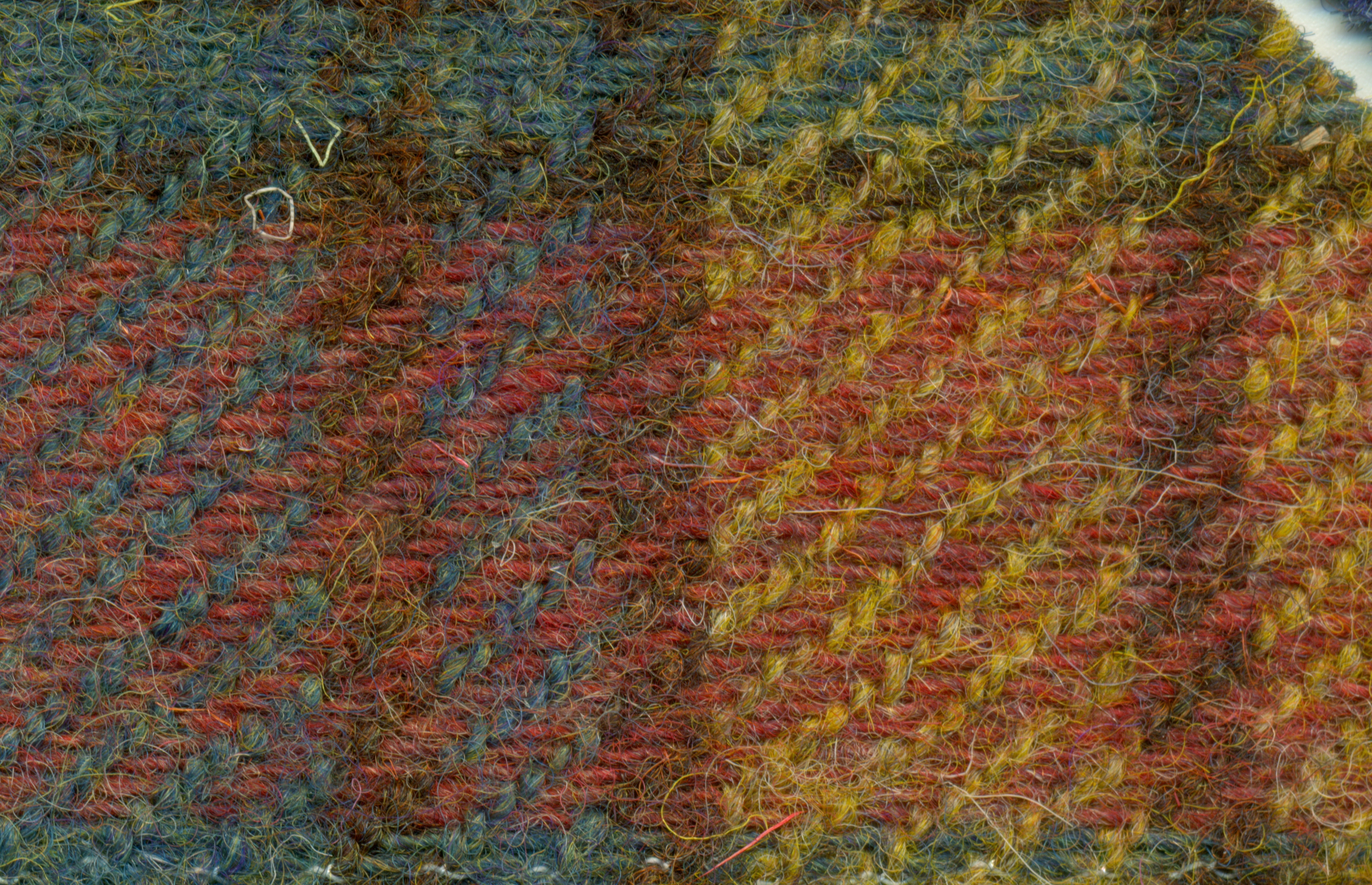
Catherine Murray, Countess of Dunmore (31 October 1814 – 12 February 1886), was an English peeress and promoter of Harris Tweed. Family Born Lady Catherine Herbert at Arlington Street, St James's, London, she was a daughter of George Herbert, 11th Earl of Pembroke and his second wife, the former Countess Catherine Vorontsov, daughter of Semyon Romanovich Vorontsov, the Russian Ambassador to the Court of St. James's. On 27 May 1836, Lady Catherine married Alexander Murray, Viscount Fincastle at Frankfurt am Main. Fincastle acceded to his father's earldom of Dunmore a few months later. The couple had four children: *Lady Susan Catherine Mary (1837–1915), married 29 November 1860 James Carnegie, 9th Earl of Southesk as his second wife, and had issue three sons and four daughters. *Lady Constance Euphemia Woronzow (1838–1922), married William Buller-Fullerton-Elphinstone, 15th Lord Elphinstone. * Charles Adolphus, styled Viscount Fincastle, later 7th Earl of Dunmor ... [...More Info...] [...Related Items...] OR: [Wikipedia] [Google] [Baidu] |
United Kingdom Census 1991
A nationwide census, commonly known as Census 1991, was conducted in the United Kingdom on Sunday 21 April 1991. This was the 19th UK census. ''Census 1991'' was organised by the Office of Population Censuses and Surveys in England and Wales, the General Register Office for Scotland and the Census Office for Northern Ireland.Census Dissemination Unit Detailed results by region, council area, ward and output area are available from their respective websites. The cost of the census was estimated at £140m, or around £7 per household. 117,500 enumerators were employed to assist with collection of census forms in Grea ... [...More Info...] [...Related Items...] OR: [Wikipedia] [Google] [Baidu] |
River Forth
The River Forth is a major river in central Scotland, long, which drains into the North Sea on the east coast of the country. Its drainage basin covers much of Stirlingshire in Scotland's Central Belt. The Gaelic name for the upper reach of the river, above Stirling, is ''Abhainn Dubh'', meaning "black river". The name for the river below the tidal reach (just past where it is crossed by the M9 motorway) is ''Uisge For''. Name ''Forth'' derives from Proto-Celtic ''*Vo-rit-ia'' (slow running), yielding '' Foirthe'' in Old Gaelic. Course The Forth rises in the Trossachs, a mountainous area west of Stirling. Ben Lomond's eastern slopes drain into the Duchray Water, which meets with Avondhu River coming from Loch Ard. The confluence of these two streams is the nominal start of the River Forth. From there it flows roughly eastward through Aberfoyle, joining with the Kelty Water about 5 km further downstream. It then flows into the flat expanse of the Carse of Stir ... [...More Info...] [...Related Items...] OR: [Wikipedia] [Google] [Baidu] |
A905 Road
List of A roads in zone 9 in Great Britain starting north of the A8, east of the A9 (roads beginning with 9). Single- and double-digit roads Triple-digit roads Four-digit roads See also * B roads in Zone 9 of the Great Britain numbering scheme * List of motorways in the United Kingdom This list of motorways in the United Kingdom is a complete list of motorways in the United Kingdom. Note that the numbering scheme used for Great Britain does not include roads in Northern Ireland, which are allocated numbers on an ad hoc basis ... * Transport in Aberdeen#Roads * Transport in Edinburgh#Road network * Transport in Scotland#Road References {{UK road lists 9 ... [...More Info...] [...Related Items...] OR: [Wikipedia] [Google] [Baidu] |


