|
Dorbod Banner
Dorbod (Siziwang) Banner ( mn, , , ; ) is a banner ( county equivalent) in Ulanqab, Inner Mongolia, China, bordering Mongolia's Dornogovi Province to the northwest. It is located about north of Hohhot, the capital of Inner Mongolia. The banner spans , and has a population of 129,372 as of 2020. Its seat of government is located in Wulanhua. Toponymy The Chinese name for the banner ''siziwang'', literally "four princes", derives from the area's historic rule by four brothers. The Mongolian name for the banner ''dorbed'' means "of four". History The area of Dorbod Banner was ruled by four Mongol brothers, Sengge (), Suonuobu (), Emubu () and Yi'erzhamu (), who were descendants of Hasar, a brother of Genghis Khan. They led their tribe in participating in the Manchu Qing Dynasty's conquest of Ming China in the early 17th century. In recognition of their service, the Qing court made Emubu the Duoluo Commandery Prince () in 1649 and settled their tribe in the area of m ... [...More Info...] [...Related Items...] OR: [Wikipedia] [Google] [Baidu] |
Postal Code Of China
Postal codes in the People's Republic of China () are postal codes used by China Post for the delivery of letters and goods within mainland China. China Post uses a six-digit all-numerical system with four tiers: the first tier, composed of the first two digits, show the province, province-equivalent municipality, or autonomous region; the second tier, composed of the third digit, shows the postal zone within the province, municipality or autonomous region; the fourth digit serves as the third tier, which shows the postal office within prefectures or prefecture-level cities; the last two digits are the fourth tier, which indicates the specific mailing area for delivery. The range 000000–009999 was originally marked for Taiwan (The Republic of China) but is not used because it not under the control of the People's Republic of China. Mail to ROC is treated as international mail, and uses postal codes set forth by Chunghwa Post. Codes starting from 999 are the internal ... [...More Info...] [...Related Items...] OR: [Wikipedia] [Google] [Baidu] |
Genghis Khan
''Chinggis Khaan'' ͡ʃʰiŋɡɪs xaːŋbr /> Mongol script: ''Chinggis Qa(gh)an/ Chinggis Khagan'' , birth_name = Temüjin , successor = Tolui (as regent) Ögedei Khan , spouse = , issue = , house = Borjigin , dynasty = Genghisid , regnal name = Genghis Khan () , temple name = Taizu () , posthumous name = Emperor Fatian Qiyun Shengwu () , father = Yesügei , mother = Hoelun , religion = Tengrism , birth_date = , birth_place = Khentii Mountains, Khamag Mongol , death_date = (aged 64–65) , death_place = Xingqing, Western Xia , burial_place = Unknown(presumptively Ikh Khorig, Burkhan Khaldun, Khentii Province) Genghis Khan (born Temüjin; ; xng, Temüjin, script=Latn; ., name=Temujin – August 25, 1227) was the founder and first Great Khan ( Emperor) of the Mongol Empire, which became the largest contiguous empire in history after his death. He came to power by uniting many of the noma ... [...More Info...] [...Related Items...] OR: [Wikipedia] [Google] [Baidu] |
Yin Mountains
The Yin Mountains, also known by several other names, are a mountain range stretching across about of northern China. They form the southeastern border of the Gobi Desert and cross the Chinese provinces of Inner Mongolia and Hebei. Among other things, the range is notable for its petroglyphs. Names The Yin Mountains are also known by their Chinese name as the Yinshan, which associates them with the great feminine principle of traditional Chinese philosophy. They are also known as the from the former name of nearby Chengde and its eponymous river and as the or Daqingshan. In Mongolian, they are known as the Dalan Qara, Dalan Terigün, Dalan Khar, Moni Agula, or Moni Uul. It was known as Čuγay quzï ( otk, 𐰲𐰆𐰍𐰖𐰴𐰔𐰃) in Old Turkic texts.D. Sinor and S. G. Klyashtorny, The Türk Empire, p. 336 Geography The range stretches for about . It begins in the southwest as the Lang Mountains at the northern loop of the Yellow River. It then rises to about abov ... [...More Info...] [...Related Items...] OR: [Wikipedia] [Google] [Baidu] |
Erenhot
Erenhot ( mn, ; , commonly shortened to Ereen or Erlian) is a county-level city of the Xilin Gol League, in Inner Mongolia Autonomous Region, located in the Gobi Desert along the Sino-Mongolian border, across from the Mongolian town of Zamyn-Üüd. There are 74,197 inhabitants (2010 census) and the elevation is . Climate Erenhot experiences a cold desert climate ( Köppen ''BWk'') with long, very dry, and bitter winters and short, hot summers. Monthly daily average temperatures range from in January to in July, with an annual mean of . The city receives 3,232 hours (about 73% of the possible total) of bright sunshine per year, and clear, sunny, dry weather dominates year-round; due to the aridity, the diurnal temperature variation frequently approaches and exceeds . Over two-thirds of the sparse of annual rainfall occurs from June to August alone. With monthly percent possible sunshine ranging from 67% in July to 78% in February, the city is one of the sunniest natio ... [...More Info...] [...Related Items...] OR: [Wikipedia] [Google] [Baidu] |
Towns Of China
When referring to political divisions of China, town is the standard English translation of the Chinese (traditional: ; ). The Constitution of the People's Republic of China classifies towns as third-level administrative units, along with for example townships (). A township is typically smaller in population and more remote than a town. Similarly to a higher-level administrative units, the borders of a town would typically include an urban core (a small town with the population on the order of 10,000 people), as well as rural area with some villages (, or ). Map representation A typical provincial map would merely show a town as a circle centered at its urban area and labeled with its name, while a more detailed one (e.g., a map of a single county-level division) would also show the borders dividing the county or county-level city into towns () and/or township () and subdistrict A subdistrict or sub-district is an administrative division that is generally smaller than a ... [...More Info...] [...Related Items...] OR: [Wikipedia] [Google] [Baidu] |
Darhan Muminggan United Banner
Darhan Muminggan United Banner ( Mongolian: Дарқан Муумиңған Қолбоғату қосиғу ''Darqan Muumiŋghan Qolboghatu qosighu''; ) is a banner of west-central Inner Mongolia, People's Republic of China. It is under the administration of Baotou City, to the south-southwest. Climate Darhan Banner has a monsoon-influenced, continental semi-arid climate ( Köppen ''BSk''), barely avoiding arid A region is arid when it severely lacks available water, to the extent of hindering or preventing the growth and development of plant and animal life. Regions with arid climates tend to lack vegetation and are called xeric or desertic. Most ... designation, with very cold and dry winters, hot, somewhat humid summers, and strong winds, especially in spring. The monthly 24-hour average temperature ranges from in January to in July, with the annual mean at . The annual precipitation is , with more than half of it falling in July and August alone. There are 3,1 ... [...More Info...] [...Related Items...] OR: [Wikipedia] [Google] [Baidu] |
Zhuozi County
Zhuozi ( mn, ; ) is a county of Ulanqab prefecture-level city, which in turn is part of Inner Mongolia Inner Mongolia, officially the Inner Mongolia Autonomous Region, is an autonomous region of the People's Republic of China. Its border includes most of the length of China's border with the country of Mongolia. Inner Mongolia also accounts for ..., China. It has an area of , and in 2020 had about inhabitants. Climate References County-level divisions of Inner Mongolia Ulanqab {{InnerMongolia-geo-stub ... [...More Info...] [...Related Items...] OR: [Wikipedia] [Google] [Baidu] |
Wuchuan County, Inner Mongolia
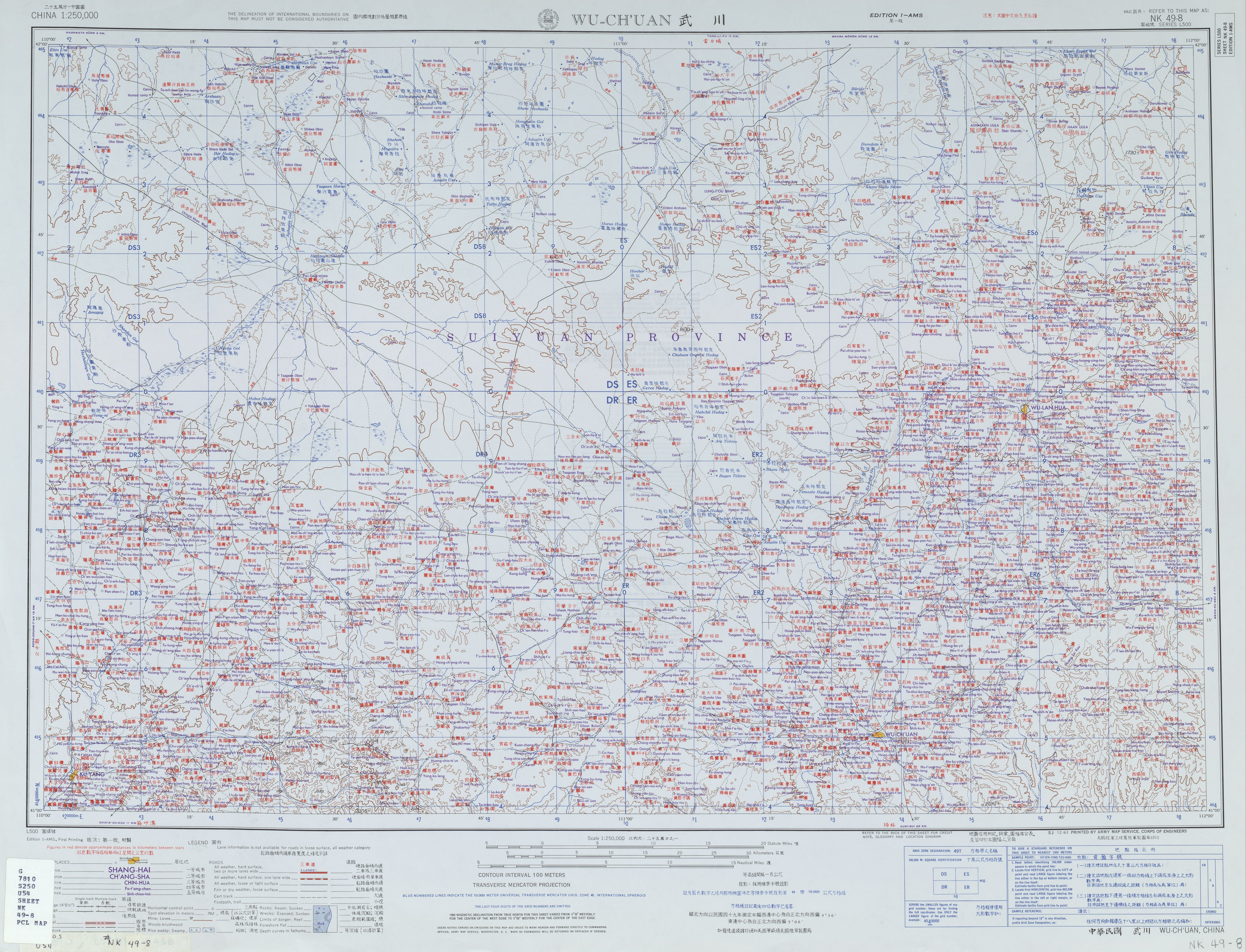
Wuchuan ( Mongolian: ''Üčuvan siyan''; ), is a county of Inner Mongolia Autonomous Region, North China, it is under the administration of the prefecture-level city of Hohhot, the capital of Inner Mongolia. Wuchuan has an area of with a population of 95,869. It is connected to Hohhot by the Huwu Highway; roughly a half-hour's drive. Zhaohe Grasslands, a popular tourist site, is nearby. Ancient History According to the earliest records, the name Wuchuan comes from the "Book of Zhou" (周书), dating from 398 AD, and the "History of the North" (北史). Human activity can be traced back as far as 10,000 years. The archaeological site at Daqingshan (大青山) village includes many artefacts from the Dayao Culture (大窑文化) and proves that the area was suitable for human habitation at that time. Another Paleolithic site at Erdaowa (二道洼) Village has an estimated age of 10,000 years. Many stone tools were found there, including knives, cutters and axes, indicating that ... [...More Info...] [...Related Items...] OR: [Wikipedia] [Google] [Baidu] |
Qahar Right Middle Banner
Chahar Right Middle Banner ( Mongolian: ; Цахар баруун гарын дундад хошуу; ''Čaqar Baraɣun Ɣarun Dumdadu qosiɣu''; ) is a banner (county equivalent) of Inner Mongolia, People's Republic of China, bordered by Chahar Right Back Banner to the east, Zhuozi County to the south, and Siziwang Banner to the northwest. It is under the administration of Ulaan Chab Ulanqab or Ulan Chab (; mn, ''Ulaɣančab qota''; Mongolian cyrillic.Улаанцав хот) is a region administered as a prefecture-level city in south-central Inner Mongolia, China. Its administrative centre is in Jining District, whic ... City. Climate References www.xzqh.org Banners of Inner Mongolia Ulanqab {{InnerMongolia-geo-stub ... [...More Info...] [...Related Items...] OR: [Wikipedia] [Google] [Baidu] |
Qahar Right Rear Banner
Chahar Right Rear Banner ( Mongolian: ; Цахар баруун гарын хойд хошуу; ''Čaqar Baraɣun Ɣarun Qoyitu qosiɣu''; ) is a banner of Inner Mongolia, People's Republic of China, bordering Shangdu County to the northeast, Xinghe County to the southeast, Qahar Right Front Banner to the south, Zhuozi County to the southwest, Qahar Right Rear Banner to the west, Dorbod Banner to the northwest, and Xilingol League to the north. It is under the administration of Ulanqab City, which lies to the south along the G55 Erenhot–Guangzhou Expressway The Erenhot–Guangzhou Expressway (), commonly referred to as the ''Erguang Expressway'' () is an expressway that connects the cities of Erenhot, Inner Mongolia, and Guangzhou, Guangdong. When fully complete, it will be in length. Route Inner M .... The most important settlement in the banner is Baiyinchagan. Climate References www.xzqh.org Banners of Inner Mongolia Ulanqab {{InnerMongolia-geo-stub ... [...More Info...] [...Related Items...] OR: [Wikipedia] [Google] [Baidu] |
Sonid Right Banner
Sonid Right Banner ( Mongolian: ''Söned Baraɣun qosiɣu''; ) is a banner of Inner Mongolia, China, bordering Dornogovi Province of the Republic of Mongolia to the northwest. It is under the administration of Xilin Gol Xilingol, Xilin Gol, Shiliin Gol or Xilinguole Aimag/League (; mn, , , , ) is one of 3 leagues of Inner Mongolia. The seat is Xilinhot, and the area is . The league's economy is based on mining and agriculture. Xilingol borders Mongolia to ... League. Sunud Mongols inhabit it. History For a few months in 1945, it was the capital of the Inner Mongolian People's Republic, before it was taken over by the Communist Chinese government. Townships * Saihantala (Banner seat) * Zhurihe * Bayanshutu Climate References Websites www.xzqh.org Banners of Inner Mongolia {{InnerMongolia-geo-stub ... [...More Info...] [...Related Items...] OR: [Wikipedia] [Google] [Baidu] |
Communist Party Of China
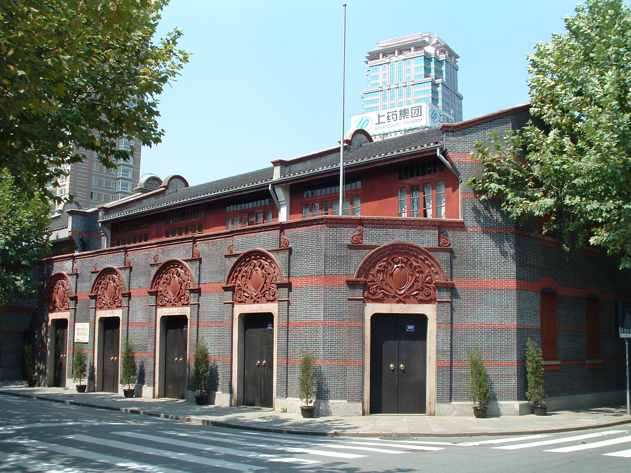
The Chinese Communist Party (CCP), officially the Communist Party of China (CPC), is the founding and sole ruling party of the People's Republic of China (PRC). Under the leadership of Mao Zedong, the CCP emerged victorious in the Chinese Civil War against the Kuomintang, and, in 1949, Mao proclaimed the establishment of the People's Republic of China. Since then, the CCP has governed China with eight smaller parties within its United Front and has sole control over the People's Liberation Army (PLA). Each successive leader of the CCP has added their own theories to the party's constitution, which outlines the ideological beliefs of the party, collectively referred to as socialism with Chinese characteristics. As of 2022, the CCP has more than 96 million members, making it the second largest political party by party membership in the world after India's Bharatiya Janata Party. The Chinese public generally refers to the CCP as simply "the Party". In 1921, Chen Duxiu and Li ... [...More Info...] [...Related Items...] OR: [Wikipedia] [Google] [Baidu] |


