|
Donnelly, Alaska
Donnelly is an unincorporated community in Southeast Fairbanks Census Area, Alaska, United States. Its elevation is 1,785 feet (544 m). Located along the Richardson Highway 26 miles (42 km) south of Delta Junction, it was founded around 1904 as a telegraph Telegraphy is the long-distance transmission of messages where the sender uses symbolic codes, known to the recipient, rather than a physical exchange of an object bearing the message. Thus flag semaphore is a method of telegraphy, whereas ... station between Chitina and Fairbanks. Donnelly's buildings during its early years were log constructed. Demographics Donnelly was incorporated as a city on December 15, 1960, too late to appear on the 1960 U.S. Census. It appeared once on the 1970 census with just seven residents. On March 7, 1974, it was dissolved as an inactive city (i.e. due to very low population). It has not appeared on the census since. References Former cities in Alaska ... [...More Info...] [...Related Items...] OR: [Wikipedia] [Google] [Baidu] |
Unincorporated Area
An unincorporated area is a parcel of land that is not governed by a local general-purpose municipal corporation. (At p. 178.) They may be governed or serviced by an encompassing unit (such as a county) or another branch of the state (such as the military). There are many unincorporated communities and areas in the United States and Canada, but many countries do not use the concept of an unincorporated area. By country Argentina In Argentina, the provinces of Chubut Province, Chubut, Córdoba Province (Argentina), Córdoba, Entre Ríos Province, Entre Ríos, Formosa Province, Formosa, Neuquén Province, Neuquén, Río Negro Province, Río Negro, San Luis Province, San Luis, Santa Cruz Province, Argentina, Santa Cruz, Santiago del Estero Province, Santiago del Estero, Tierra del Fuego Province, Argentina, Tierra del Fuego, and Tucumán Province, Tucumán have areas that are outside any municipality or commune. Australia Unlike many other countries, Australia has only local go ... [...More Info...] [...Related Items...] OR: [Wikipedia] [Google] [Baidu] |
Geographic Names Information System
The Geographic Names Information System (GNIS) is a database of name and location information about more than two million physical and cultural features, encompassing the United States and its territories; the Compact of Free Association, associated states of the Marshall Islands, Federated States of Micronesia, and Palau; and Antarctica. It is a type of gazetteer. It was developed by the United States Geological Survey (USGS) in cooperation with the United States Board on Geographic Names (BGN) to promote the standardization of feature names. Data were collected in two phases. Although a third phase was considered, which would have handled name changes where local usages differed from maps, it was never begun. The database is part of a system that includes topographic map names and bibliographic references. The names of books and historic maps that confirm the feature or place name are cited. Variant names, alternatives to official federal names for a feature, are also recor ... [...More Info...] [...Related Items...] OR: [Wikipedia] [Google] [Baidu] |
Unincorporated Communities In Alaska
Unincorporated may refer to: * Unincorporated area, land not governed by a local municipality * Unincorporated entity, a type of organization * Unincorporated territories of the United States, territories under U.S. jurisdiction, to which Congress has determined that only select parts of the U.S. Constitution apply * Unincorporated association Unincorporated association refers to a group of people in common law jurisdictions—such as the United Kingdom, Canada, and New Zealand—who organize around a shared purpose without forming a corporation or similar legal entity. Unlike in some ..., also known as voluntary association, groups organized to accomplish a purpose * ''Unincorporated'' (album), a 2001 album by Earl Harvin Trio {{disambig ... [...More Info...] [...Related Items...] OR: [Wikipedia] [Google] [Baidu] |
Former Cities In Alaska
A former is an object, such as a template, gauge or cutting die, which is used to form something such as a boat's hull. Typically, a former gives shape to a structure that may have complex curvature. A former may become an integral part of the finished structure, as in an aircraft fuselage, or it may be removable, being used in the construction process and then discarded or re-used. Aircraft formers Formers are used in the construction of aircraft fuselage, of which a typical fuselage has a series from the nose cone to the empennage, typically perpendicular to the longitudinal axis of the aircraft. The primary purpose of formers is to establish the shape of the fuselage and reduce the column length of stringers to prevent instability. Formers are typically attached to longerons, which support the skin of the aircraft. The "former-and-longeron" technique (also called stations and stringers) was adopted from boat construction, and was typical of light aircraft built unt ... [...More Info...] [...Related Items...] OR: [Wikipedia] [Google] [Baidu] |
University Of Alaska Anchorage
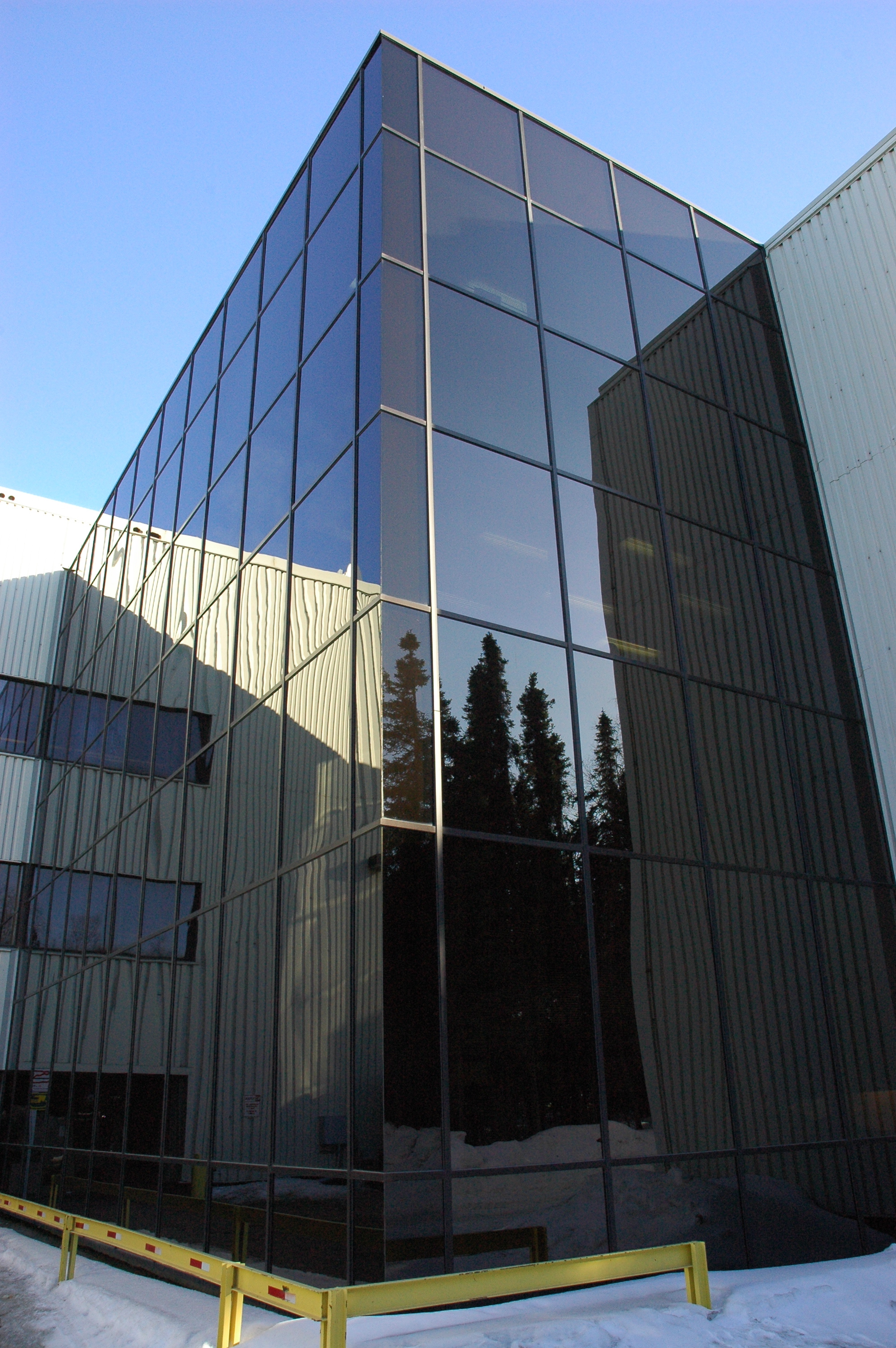
The University of Alaska Anchorage (UAA) is a public university in Anchorage, Alaska, United States. UAA also administers four community campuses spread across Southcentral Alaska: Kenai Peninsula College, Kodiak College, Matanuska–Susitna College, and Prince William Sound College. Between the community campuses and the main Anchorage campus, roughly 15,000 undergraduate, graduate, and professional students are currently enrolled at UAA. It is Alaska's largest institution of higher learning and the largest university in the University of Alaska System. UAA's main campus is located approximately southeast of its downtown area in the University-Medical District, adjacent to the Alaska Native Medical Center, Alaska Pacific University and Providence Alaska Medical Center. UAA is divided into five instructional and research units at the Anchorage campus: the College of Arts and Sciences, College of Business and Public Policy, the Community and Technical College, College of En ... [...More Info...] [...Related Items...] OR: [Wikipedia] [Google] [Baidu] |
Log Cabin
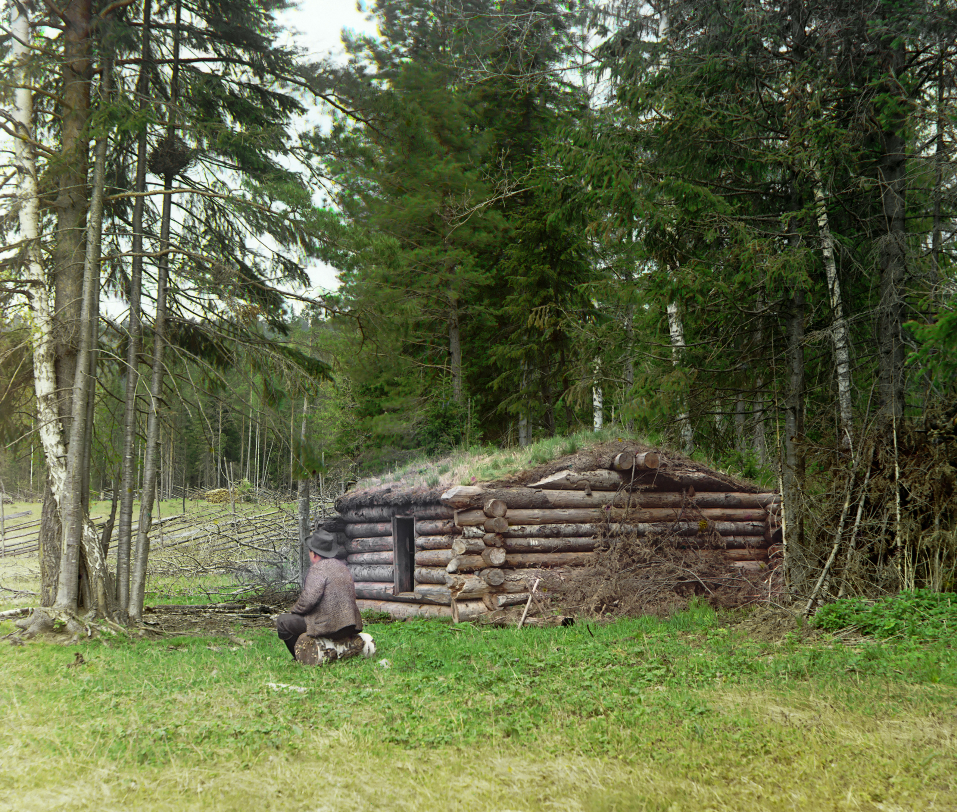
A log cabin is a small log house, especially a minimally finished or less architecturally sophisticated structure. Log cabins have an ancient history in Europe, and in America are often associated with first-generation home building by settlers. History Europe Construction with logs was described by Roman architect Vitruvius Pollio in his architectural treatise ''De Architectura''. He noted that in Pontus in present-day northeastern Turkey, dwellings were constructed by laying logs horizontally overtop of each other and filling in the gaps with "chips and mud". Log cabin construction has its roots in Scandinavia and Eastern Europe. Although their precise origin is uncertain, the first log structures were probably being built in Northern Europe by the Bronze Age around 3500 BC. C. A. Weslager describes Europeans as having: A medieval log cabin was considered movable property, evidenced by the relocation of Espåby in 1557, where the buildings were disassembled, transpo ... [...More Info...] [...Related Items...] OR: [Wikipedia] [Google] [Baidu] |


