|
Doghouse Grove
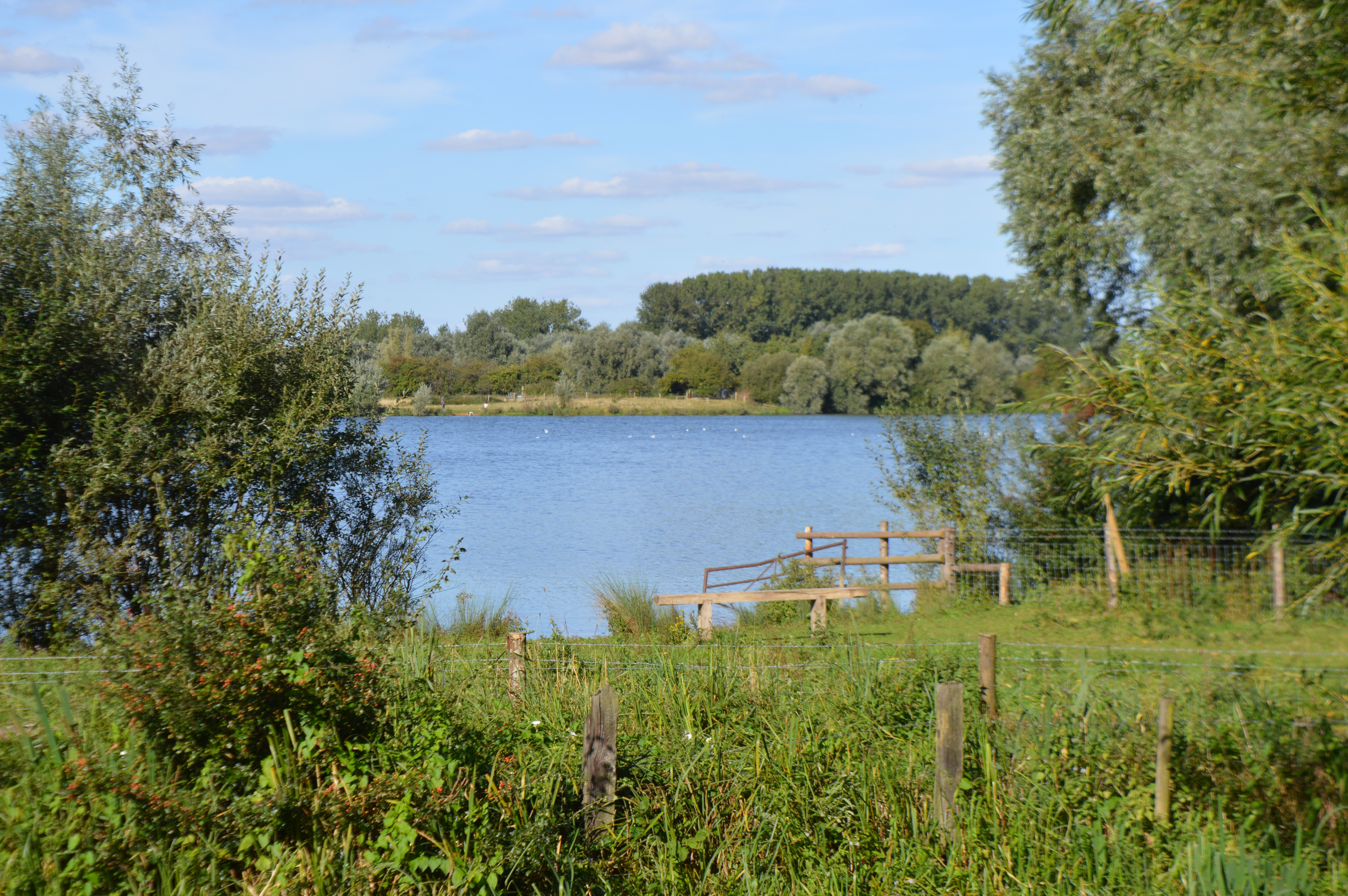
Doghouse Grove is a nature reserve in Wilburton in Cambridgeshire. It is managed by the Wildlife Trust for Bedfordshire, Cambridgeshire and Northamptonshire. In the medieval period this was a series of monastic fishponds, which can still be seen in wetter periods. It is now an ash wood, with flowers including bluebells and lords-and-ladies. There is access by a permissive footpath from Twenty Pence Road. References {{Wildlife Trust for Bedfordshire, Cambridgeshire and Northamptonshire Wildlife Trust for Bedfordshire, Cambridgeshire and Northamptonshire reserves ... [...More Info...] [...Related Items...] OR: [Wikipedia] [Google] [Baidu] |
Wilburton
Wilburton is a small village of just over 1,000 inhabitants, situated in Cambridgeshire, England. It is 6 miles south west of Ely. While nominally an agricultural village, many of the inhabitants work in Cambridge, Ely or London. History Wilburton is a parish of around 800 acres lying on the important medieval route from Earith to Stretham, and extending south to the River Great Ouse. As much of the land in the region is fenland, the village's position on the ridge between Stretham and Haddenham at the southern end of the Isle of Ely was important in its growth and success. Listed as ''Wilburhtun'' in 970 and ''Wilbertone'' in the Domesday Book, the name "Wilburton" means "Farmstead or village of a woman called Wilburh". The village contains a number of old buildings, and was described in the 19th century as "very neat and contains some excellent houses". These include the Burystead (the former manor house, built c.1600), one of the few surviving half-timbered houses in the ... [...More Info...] [...Related Items...] OR: [Wikipedia] [Google] [Baidu] |
Cambridgeshire
Cambridgeshire (abbreviated Cambs.) is a Counties of England, county in the East of England, bordering Lincolnshire to the north, Norfolk to the north-east, Suffolk to the east, Essex and Hertfordshire to the south, and Bedfordshire and Northamptonshire to the west. The city of Cambridge is the county town. Following the Local Government Act 1972 restructuring, modern Cambridgeshire was formed in 1974 through the amalgamation of two administrative counties: Cambridgeshire and Isle of Ely, comprising the Historic counties of England, historic county of Cambridgeshire (including the Isle of Ely); and Huntingdon and Peterborough, comprising the historic county of Huntingdonshire and the Soke of Peterborough, historically part of Northamptonshire. Cambridgeshire contains most of the region known as Silicon Fen. The county is now divided between Cambridgeshire County Council and Peterborough City Council, which since 1998 has formed a separate Unitary authorities of England, unita ... [...More Info...] [...Related Items...] OR: [Wikipedia] [Google] [Baidu] |
Wildlife Trust For Bedfordshire, Cambridgeshire And Northamptonshire
The Wildlife Trust for Bedfordshire, Cambridgeshire and Northamptonshire (WTBCN) is a registered charity which manages 126 nature reserves covering . It has over 35,000 members, and 95% of people in Bedfordshire, Cambridgeshire and Northamptonshire live within five miles of a reserve. In the year to 31 March 2016 it employed 105 people and had an income of £5.1 million. It aims to conserve wildlife, inspire people to take action for wildlife, offer advice and share knowledge. The WTBCN is one of 36 wildlife trusts covering England, and 46 covering the whole of the United Kingdom. In 1912 Charles Rothschild formed the Society for the Promotion of Nature Reserves to protect sites considered "worthy of preservation". The society worked to secure statutory protection, and this began with the National Parks and Access to the Countryside Act 1949. In 1959 the society took on a coordinating role for local wildlife trusts, which covered the whole of Britain and Northern Ireland by 1 ... [...More Info...] [...Related Items...] OR: [Wikipedia] [Google] [Baidu] |
Arum Maculatum
''Arum'' is a genus of flowering plants in the family Araceae, native to Europe, northern Africa, and western and central Asia, with the highest species diversity in the Mediterranean region. Frequently called arum lilies, they are not closely related to the true lilies ''Lilium''. Plants in closely related ''Zantedeschia'' are also called "arum lilies". They are rhizomatous, herbaceous perennial plants growing to 20–60 cm tall, with sagittate (arrowhead-shaped) leaves 10–55 cm long. The flowers are produced in a spadix, surrounded by a 10–40 cm long, distinctively coloured spathe, which may be white, yellow, brown, or purple. Some species are scented, others not. The fruit is a cluster of bright orange or red berries. All parts of the plants, including the berries, are poisonous, containing calcium oxalate as raphides. In spite of this, the plant has a history of culinary use among Arab peasants in Palestine who practised leaching the toxins from the plant bef ... [...More Info...] [...Related Items...] OR: [Wikipedia] [Google] [Baidu] |


_-Brendel_Nr._202-.jpg)