|
Djenné
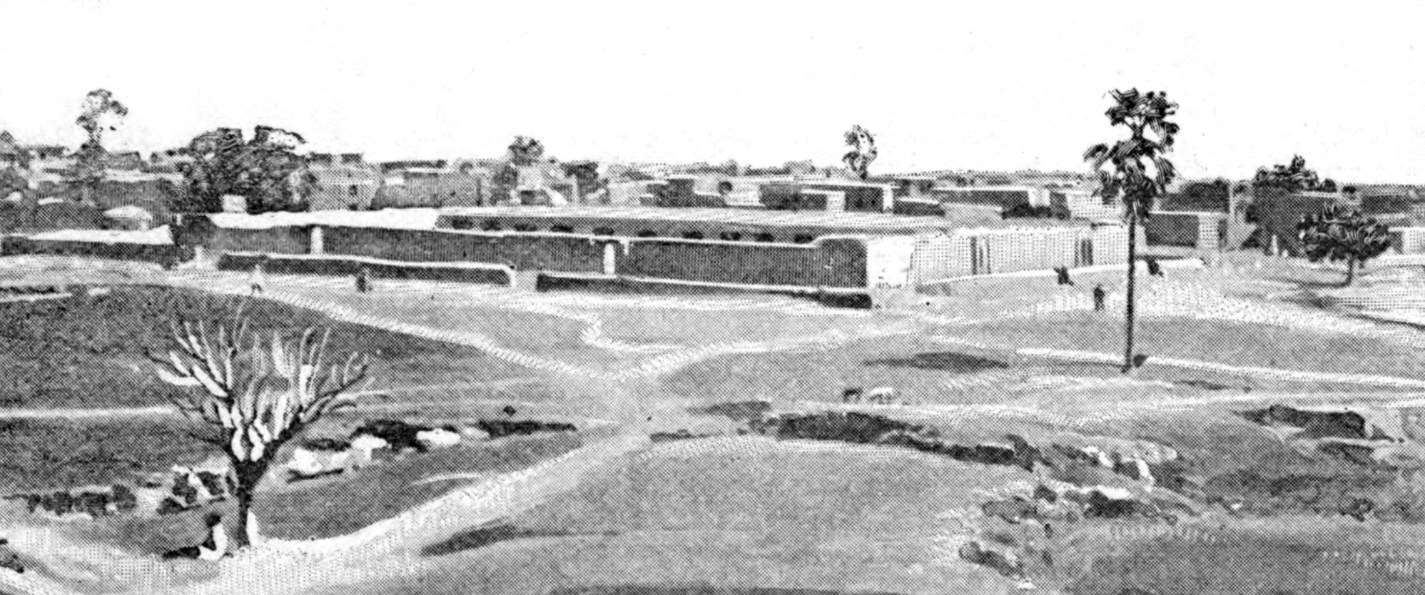
Djenné (Bambara language, Bambara: ߘߖߋߣߣߋ tr. Djenne; also known as Djénné, Jenné and Jenne) is a Songhai people town and an Communes of Mali, urban commune in the Inland Niger Delta region of central Mali. The town is the administrative centre of the Djenné Cercle, one of the eight subdivisions of the Mopti Region. The commune includes ten of the surrounding villages and in 2009 had a population of 32,944. The history of Djenné is closely linked with that of Timbuktu. Between the 15th and 17th centuries much of the trans-Saharan trade in goods such as salt, gold, and slaves that moved in and out of Timbuktu passed through Djenné. Both towns became centres of Islamic scholarship. Djenné's prosperity depended on this trade and when the Portugal, Portuguese established trading posts on the African coast, the importance of the trans-Saharan trade and thus of Djenné declined. The town is famous for its distinctive adobe architecture, most notably the Great Mosque of Dj ... [...More Info...] [...Related Items...] OR: [Wikipedia] [Google] [Baidu] |
Great Mosque Of Djenné
The Great Mosque of Djenné ( ar, الجامع الكبير في جينيه) is a large brick or adobe building in the Sudano-Sahelian architecture, Sudano-Sahelian architectural style. The mosque is located in the city of Djenné, Mali, on the flood plain of the Bani River. The first mosque on the site was built around the 13th century, but the current structure dates from 1907. As well as being the centre of the community of Djenné, it is one of the most famous landmarks in Africa. Along with the "Djenné#World heritage status, Old Towns of Djenné" it was designated a World Heritage Site by United Nations Educational, Scientific and Cultural Organization, UNESCO in 1988. History The first mosque The actual date of construction of the first mosque in Djenné is unknown, but dates as early as 1200 and as late as 1330 have been suggested. The earliest document mentioning the mosque is Abd al-Sadi's ''Tarikh al-Sudan'' which gives the early history, presumably from the oral tr ... [...More Info...] [...Related Items...] OR: [Wikipedia] [Google] [Baidu] |
Djenné-Djenno
Djenné-Djenno (also Jenne-Jeno; ) is a UNESCO World Heritage Site located in the Niger River Valley in the country of Mali. Literally translated to "ancient Djenné", it is the original site of both Djenné and Mali and is considered to be among the oldest urbanized centers and the best-known archaeology site in sub-Saharan Africa. This archaeological site is located about from the modern town, and is believed to have been involved in long distance trade and possibly the domestication of African rice. The site is believed to exceed in area; however this is yet to be confirmed with extensive survey work. With the help of archaeological excavations mainly by Roderick and Susan McIntosh, the site is known to have been occupied from 250 BC to 900 AD. The city is believed to have been abandoned and moved where the current city is located due to the spread of Islam and the building of the Great Mosque of Djenné. Previously, it was assumed that advanced trade networks and com ... [...More Info...] [...Related Items...] OR: [Wikipedia] [Google] [Baidu] |
Djenné Cercle
Djenné Cercle is an administrative subdivision of the Mopti Region of Mali. The administrative center ('' chef-lieu'') is the town of Djenné. In the 2009 census the cercle had a population of 207,260 people. Administrative subdivisions The Djenné Cercle is divided into 12 communes: * Dandougou Fakala * Derary *Djenné * Fakala *Femaye *Kéwa * Madiama * Néma Badenyakafo * Niansanarié * Ouro Ali *Pondori Pondori is a commune of the Cercle of Djenné in the Mopti Region of Mali. The principal village lies at Gomitogo Gomitogo is a village and seat of the commune of Pondori in the Cercle of Djenné in the Mopti Region of southern-central Ma ... * Togué Mourari References Cercles of Mali Mopti Region {{Mopti-geo-stub ... [...More Info...] [...Related Items...] OR: [Wikipedia] [Google] [Baidu] |
René Caillié
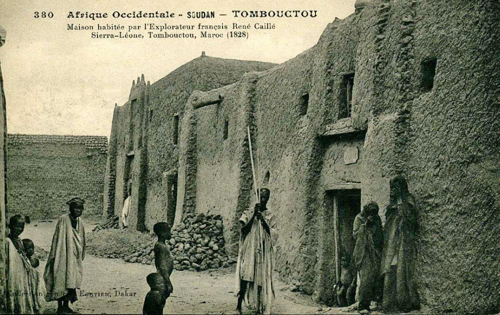
Auguste René Caillié (; 19 November 1799 – 17 May 1838) was a French explorer and the first European to return alive from the town of Timbuktu. Caillié had been preceded at Timbuktu by a British officer, Major Gordon Laing, who was murdered in September 1826 on leaving the city. Caillié was therefore the first to return alive. Caillié was born in western France in a village near the port of Rochefort. His parents were poor and died while he was still young. At the age of 16 he left home and signed up as a member of the crew on a French naval vessel sailing to Saint-Louis on the coast of modern Senegal in western Africa. He stayed there for several months and then crossed the Atlantic to Guadeloupe on a merchantman. He made a second visit to West Africa two years later when he accompanied a British expedition across the Ferlo Desert to Bakel on the Senegal River. Caillié returned to Saint-Louis in 1824 with a strong desire to become an explorer and visit Timbuktu. In ... [...More Info...] [...Related Items...] OR: [Wikipedia] [Google] [Baidu] |
Mopti
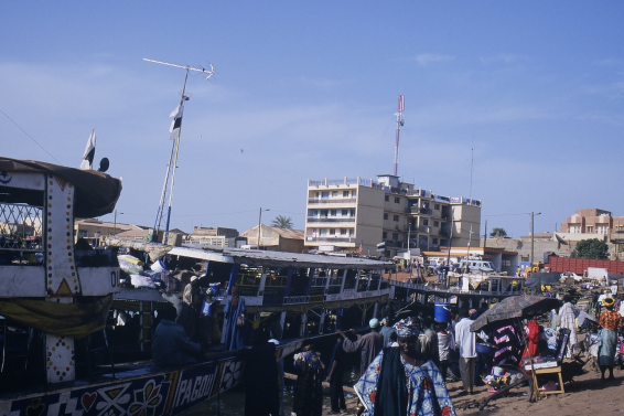
Mopti ( Bambara: ߡߏߕߌ tr. Moti) is a town and an urban commune in the Inner Niger Delta region of Mali. The town is the capital of the Mopti Cercle and the Mopti Region. Situated 630 km northeast of Bamako, the town lies at the confluence of the Niger and the Bani Rivers and is linked by an elevated causeway to the town of Sévaré. The urban commune, which includes both Mopti and Sévaré, had a population of 114,296 in the 2009 census. Geography Mopti lies on the right bank of the Bani River, a few hundred meters upstream of the confluence of the Bani with the Niger River. Between August and December when the rivers flood the Inner Niger Delta, the town becomes a series of islands connected by raised causeways. During this period the only road access to the town is along a 12 km causeway that links Mopti to Sévaré. Mopti lies to the west of the Dogon Plateau and is 66 km northwest of Bandiagara and 76 km north-northeast of Djenné. The town i ... [...More Info...] [...Related Items...] OR: [Wikipedia] [Google] [Baidu] |
Madiama
Madiama is a rural commune and village in the Cercle of Djenné in the Mopti Region of Mali. The commune contains ten villages. The commune lies to the west of the main RN6 highway linking Bamako with Gao and is crossed by the spur road linking the highway with the Djenné ferry across the Bani River. The commune is bounded on its west side by the urban commune of Djenné Djenné ( Bambara: ߘߖߋߣߣߋ tr. Djenne; also known as Djénné, Jenné and Jenne) is a Songhai people town and an urban commune in the Inland Niger Delta region of central Mali. The town is the administrative centre of the Djenné Cercle, on ... and the commune of Dandougou Fakala.. The report includes low resolution maps obtained from screen-dumps which show the boundaries of communes within the Djenné Cercle. References Communes of Mopti Region {{Mopti-geo-stub ... [...More Info...] [...Related Items...] OR: [Wikipedia] [Google] [Baidu] |
Songhai People
The Songhai people (also Ayneha, Songhay or Sonrai)'' are an ethnolinguistic group in West Africa who speak the various Songhai languages. Their history and ''lingua franca'' is linked to the Songhai Empire which dominated the western Sahel in the 15th and 16th century. Predominantly a Muslim community, the Songhai are found primarily throughout Niger and Mali in the Sahel and Sahara. The name Songhai was historically neither an ethnic nor linguistic designation, but a name for the ruling caste of the Songhai Empire which are the Songhai proper of ''sunni'' and ''Askya'' dynasty found predominantly in present-day Niger. These people call themselves ''Ayneha''. Although some Speakers in Mali have also adopted the name ''Songhay'' as an ethnic designation, other Songhay-speaking groups identify themselves by other ethnic terms such as Zarma (or Djerma, the largest subgroup) or Isawaghen. The dialect of Koyraboro Senni spoken in Gao is unintelligible to speakers of the Zarma d ... [...More Info...] [...Related Items...] OR: [Wikipedia] [Google] [Baidu] |
Bani River
The Bani River is the principal tributary of the Niger River in Mali. The river is formed from the confluence of the Baoulé and Bagoé rivers some east of Bamako and it merges with the Niger near Mopti. Its length is about . Geography The Bani River has three main tributaries: the Baoulé that rises near Odienné in Côte d'Ivoire and passes just south of Bougouni, the Bagoé River that rises near Boundiali in Côte d'Ivoire and the Banifing-Lotio that drains the region around Sikasso. The drainage basin upstream of Douna has an area of , 85% of which lies in southern Mali and 15% in northern Côte d'Ivoire. The annual rainfall varies across the catchment basin with the southern area in Côte d'Ivoire receiving a year while the northern area around Douna receiving only . For the period 1965-1995 the average annual rainfall for the basin was . The rainfall is seasonal with most of the rain falling between May and October. The maximum rainfall occurs in August. The dis ... [...More Info...] [...Related Items...] OR: [Wikipedia] [Google] [Baidu] |
Fakala
Fakala is a Rural Commune In general, a rural area or a countryside is a geographic area that is located outside towns and cities. Typical rural areas have a low population density and small settlements. Agricultural areas and areas with forestry typically are des ... of the Cercle of Djenné in the Mopti Region of Mali. The commune contains 30 villages. and had a population of 32,689 in the census of 2009. The local government is based in the small town of Sofara. References External links *. Communes of Mopti Region {{Mopti-geo-stub ... [...More Info...] [...Related Items...] OR: [Wikipedia] [Google] [Baidu] |
Dandougou Fakala
Dandougou Fakala is a rural commune In general, a rural area or a countryside is a geographic area that is located outside towns and cities. Typical rural areas have a low population density and small settlements. Agricultural areas and areas with forestry typically are des ... in the Cercle of Djenné in the Mopti Region of Mali. The commune contains ten villages. The administrative center ('' chef-lieu'') is the village of Konio.. In the 2009 census the commune had a population of 9,841. References External links *. Communes of Mopti Region {{Mopti-geo-stub ... [...More Info...] [...Related Items...] OR: [Wikipedia] [Google] [Baidu] |
Derary
Derary is a rural commune of the Cercle of Djenné in the Mopti Region of Mali. The commune contains eight villages.. The administrative center ('' chef-lieu'') is the village of Gagna Gagna (''Gáɲàgà'') is a village and seat (''chef-lieu'') of the Communes of Mali, rural commune of Derary in the Djenné Cercle, Cercle of Djenné in the Mopti Region of southern-central Mali. Tommo So is spoken in the village. The local surn .... In the 2009 census the commune had a population of 6,558. References Communes of Mopti Region {{Mopti-geo-stub ... [...More Info...] [...Related Items...] OR: [Wikipedia] [Google] [Baidu] |
Ouro Ali
Ouro Ali is a rural commune In general, a rural area or a countryside is a geographic area that is located outside towns and cities. Typical rural areas have a low population density and small settlements. Agricultural areas and areas with forestry typically are des ... of the Cercle of Djenné in the Mopti Region of Mali. The commune includes the villages of Senossa, Koloye, Ouro Djikoye, Siratintin, Weraka, Wono, Kotola, Djimatogo, Ali Samba, Kandia and Somena.. The administrative center ('' chef-lieu'') is the village of Senossa. In the census of 2009 the commune had a population of 10,354. References Communes of Mopti Region {{Mopti-geo-stub ... [...More Info...] [...Related Items...] OR: [Wikipedia] [Google] [Baidu] |
.jpg)


