|
Dinosaur Quarry Of Altamura
The Dinosaur Quarry of Altamura, also known as or , is an area of scientific interest located in the countryside of the city of Altamura, Italy, where about 4000 footprints of dinosaurs have been found (according to other sources, they are much more than 4000). It was originally an abandoned quarry located in an area named ''Pontrelli'' located on "Via Santeramo", where a kind of carbonate rock known as ''calcare di Altamura'' used to be extracted. It originally belonged to the De Lucia family and, after a few changes of ownership, in 2016 it was expropriated. Now it belongs to the Municipality of Altamura due to the remarkable scientific relevance of the discovery. History of the discovery The dinosaur footprints were accidentally discovered on May 10, 1999, by two marine geologists of the University of Ancona, Michele Claps and Massimo Sarti, while they were carrying out research on behalf of the company Tamoil.{{cite web, url=https://www.dinosauridialtamura.it/orme-di- ... [...More Info...] [...Related Items...] OR: [Wikipedia] [Google] [Baidu] |
Santonian
The Santonian is an age in the geologic timescale or a chronostratigraphic stage. It is a subdivision of the Late Cretaceous Epoch or Upper Cretaceous Series. It spans the time between 86.3 ± 0.7 mya (million years ago) and 83.6 ± 0.7 mya. The Santonian is preceded by the Coniacian and is followed by the Campanian.Gradstein ''et al.'' (2004) Stratigraphic definition The Santonian Stage was established by French geologist Henri Coquand in 1857. It is named after the city of Saintes in the region of Saintonge, where the original type locality is located. The base of the Santonian Stage is defined by the appearance of the inoceramid bivalve ''Cladoceramus undulatoplicatus''. The GSSP (official reference profile) for the base of the Santonian Stage is located near Olazagutia, Spain; it was ratified by the Subcommission on Cretaceous Stratigraphy in 2012. The Santonian's top (the base of the Campanian Stage) is informally marked by the extinction of the crinoid '' Marsupites tes ... [...More Info...] [...Related Items...] OR: [Wikipedia] [Google] [Baidu] |
Ichnospecies
An ichnotaxon (plural ichnotaxa) is "a taxon based on the fossilized work of an organism", i.e. the non-human equivalent of an artifact. ''Ichnotaxa'' comes from the Greek ίχνος, ''ichnos'' meaning ''track'' and ταξις, ''taxis'' meaning ''ordering''.Definition o'ichno'at dictionary.com. Ichnotaxa are names used to identify and distinguish morphologically distinctive ichnofossils, more commonly known as trace fossils. They are assigned genus and species ranks by ichnologists, much like organisms in Linnaean taxonomy. These are known as ichnogenera and ichnospecies, respectively. "Ichnogenus" and "ichnospecies" are commonly abbreviated as "igen." and "isp.". The binomial names of ichnospecies and their genera are to be written in italics. Most researchers classify trace fossils only as far as the ichnogenus rank, based upon trace fossils that resemble each other in morphology but have subtle differences. Some authors have constructed detailed hierarchies up to ichnosupe ... [...More Info...] [...Related Items...] OR: [Wikipedia] [Google] [Baidu] |
Dinosaur Paleobiogeography
Dinosaur paleobiogeography is the study of dinosaur geographic distribution, based on evidence in the fossil record. Late Cretaceous North America Thomas M. Lehman, in a study of Late Cretaceous dinosaur distribution, concluded that they were "remarkably provincial," with herbivorous dinosaurs exhibiting "persistent latitudinal and altitudinal zonation" in " stinctive endemic associations." Provincialism was even present during the turbulent faunal turnover of the Maastrichtian stage, when the Laramide Orogeny triggered "the most dramatic event that affected Late Cretaceous dinosaur communities in North America prior to their extinction." This turnover event saw specialized and highly ornamented centrosaurines and lambeosaurines be replaced by more primitive upland dinosaurs in the south while northern biomes became dominated by ''Triceratops'' with a greatly reduced hadrosaur community. Judithian Faunal Stage Many dinosaur species in North America during the Late Cretaceous had ... [...More Info...] [...Related Items...] OR: [Wikipedia] [Google] [Baidu] |
Apulia
it, Pugliese , population_note = , population_blank1_title = , population_blank1 = , demographics_type1 = , demographics1_footnotes = , demographics1_title1 = , demographics1_info1 = , demographics1_title2 = , demographics1_info2 = , demographics1_title3 = , demographics1_info3 = , timezone1 = CET , utc_offset1 = +01:00 , timezone1_DST = CEST , utc_offset1_DST = +02:00 , postal_code_type = , postal_code = , area_code_type = ISO 3166 code , area_code = IT-75 , blank_name_sec1 = GDP (nominal) , blank_info_sec1 = €76.6 billion (2018) , blank1_name_sec1 = GDP per capita , blank1_info_sec1 = €19,000 (2018) , blank2_name_sec1 = HDI (2018) , blank2_info_sec1 = 0.845 · 18th of 21 , blank_name_sec2 = NUTS Region , blank_info_sec2 = ... [...More Info...] [...Related Items...] OR: [Wikipedia] [Google] [Baidu] |
Carbonate Rocks
Carbonate rocks are a class of sedimentary rocks composed primarily of carbonate minerals. The two major types are limestone, which is composed of calcite or aragonite (different crystal forms of CaCO3), and dolomite rock (also known as dolostone), which is composed of mineral dolomite (CaMg(CO3)2). Calcite can be either dissolved by groundwater or precipitated by groundwater, depending on several factors including the water temperature, pH, and dissolved ion concentrations. Calcite exhibits an unusual characteristic called retrograde solubility in which it becomes less soluble in water as the temperature increases. When conditions are right for precipitation, calcite forms mineral coatings that cement the existing rock grains together or it can fill fractures. Karst topography and caves develop in carbonate rocks because of their solubility in dilute acidic groundwater. Cooling groundwater or mixing of different groundwaters will also create conditions suitable for cave f ... [...More Info...] [...Related Items...] OR: [Wikipedia] [Google] [Baidu] |
Diagenesis
Diagenesis () is the process that describes physical and chemical changes in sediments first caused by water-rock interactions, microbial activity, and compaction after their deposition. Increased pressure and temperature only start to play a role as sediments become buried much deeper in the Earth's crust. In the early stages, the transformation of poorly consolidated sediments into sedimentary rock (lithification) is simply accompanied by a reduction in porosity and water expulsion (clay sediments), while their main mineralogical assemblages remain unaltered. As the rock is carried deeper by further deposition above, its organic content is progressively transformed into kerogens and bitumens. The process of diagenesis excludes surface alteration (weathering) and deep metamorphism. There is no sharp boundary between diagenesis and metamorphism, but the latter occurs at higher temperatures and pressures. Hydrothermal solutions, meteoric groundwater, rock porosity, permeability, ... [...More Info...] [...Related Items...] OR: [Wikipedia] [Google] [Baidu] |
Tide
Tides are the rise and fall of sea levels caused by the combined effects of the gravity, gravitational forces exerted by the Moon (and to a much lesser extent, the Sun) and are also caused by the Earth and Moon orbiting one another. Tide tables can be used for any given locale to find the predicted times and amplitude (or "tidal range"). The predictions are influenced by many factors including the alignment of the Sun and Moon, the #Phase and amplitude, phase and amplitude of the tide (pattern of tides in the deep ocean), the amphidromic systems of the oceans, and the shape of the coastline and near-shore bathymetry (see ''#Timing, Timing''). They are however only predictions, the actual time and height of the tide is affected by wind and atmospheric pressure. Many shorelines experience semi-diurnal tides—two nearly equal high and low tides each day. Other locations have a diurnal cycle, diurnal tide—one high and low tide each day. A "mixed tide"—two uneven magnitude ... [...More Info...] [...Related Items...] OR: [Wikipedia] [Google] [Baidu] |
Bahamas
The Bahamas (), officially the Commonwealth of The Bahamas, is an island country within the Lucayan Archipelago of the West Indies in the Atlantic Ocean, North Atlantic. It takes up 97% of the Lucayan Archipelago's land area and is home to 88% of the archipelago's population. The archipelagic state consists of more than 3,000 islands, cays, and islets in the Atlantic Ocean, and is located north of Cuba and northwest of the island of Hispaniola (split between the Dominican Republic and Haiti) and the Turks and Caicos Islands, southeast of the U.S. state of Florida, and east of the Florida Keys. The capital is Nassau, Bahamas, Nassau on the island of New Providence. The Royal Bahamas Defence Force describes The Bahamas' territory as encompassing of ocean space. The Bahama Islands were inhabited by the Lucayan people, Lucayans, a branch of the Arawakan-Taino language, speaking Taíno, for many centuries. Christopher Columbus was the first European to see the islands, making hi ... [...More Info...] [...Related Items...] OR: [Wikipedia] [Google] [Baidu] |
Upper Cretaceous
The Late Cretaceous (100.5–66 Ma) is the younger of two epochs into which the Cretaceous Period is divided in the geologic time scale. Rock strata from this epoch form the Upper Cretaceous Series. The Cretaceous is named after ''creta'', the Latin word for the white limestone known as chalk. The chalk of northern France and the white cliffs of south-eastern England date from the Cretaceous Period. Climate During the Late Cretaceous, the climate was warmer than present, although throughout the period a cooling trend is evident. The tropics became restricted to equatorial regions and northern latitudes experienced markedly more seasonal climatic conditions. Geography Due to plate tectonics, the Americas were gradually moving westward, causing the Atlantic Ocean to expand. The Western Interior Seaway divided North America into eastern and western halves; Appalachia and Laramidia. India maintained a northward course towards Asia. In the Southern Hemisphere, Australia and Anta ... [...More Info...] [...Related Items...] OR: [Wikipedia] [Google] [Baidu] |
Ankylosauria
Ankylosauria is a group of herbivorous dinosaurs of the order Ornithischia. It includes the great majority of dinosaurs with armor in the form of bony osteoderms, similar to turtles. Ankylosaurs were bulky quadrupeds, with short, powerful limbs. They are known to have first appeared in the Middle Jurassic, and persisted until the end of the Cretaceous Period. The two main families of Ankylosaurs, Nodosauridae and Ankylosauridae are primarily known from the Northern Hemisphere, but the more basal Parankylosauria are known from southern Gondwana during the Cretaceous. Ankylosauria was first named by Henry Fairfield Osborn in 1923.Osborn, H. F. (1923). "Two Lower Cretaceous dinosaurs of Mongolia." ''American Museum Novitates'', 95: 1–1/ref> In the Linnaean classification system, the group is usually considered either a suborder or an infraorder. It is contained within the group Thyreophora, which also includes the stegosaurs, armored dinosaurs known for their combination of plate ... [...More Info...] [...Related Items...] OR: [Wikipedia] [Google] [Baidu] |
Ichnologist
A trace fossil, also known as an ichnofossil (; from el, ἴχνος ''ikhnos'' "trace, track"), is a fossil record of biological activity but not the preserved remains of the plant or animal itself. Trace fossils contrast with body fossils, which are the fossilized remains of parts of organisms' bodies, usually altered by later chemical activity or mineralization. The study of such trace fossils is ichnology and is the work of ichnologists. Trace fossils may consist of impressions made on or in the substrate by an organism. For example, burrows, borings (bioerosion), urolites (erosion caused by evacuation of liquid wastes), footprints and feeding marks and root cavities may all be trace fossils. The term in its broadest sense also includes the remains of other organic material produced by an organism; for example coprolites (fossilized droppings) or chemical markers (sedimentological structures produced by biological means; for example, the formation of stromatolites). H ... [...More Info...] [...Related Items...] OR: [Wikipedia] [Google] [Baidu] |
Altamura
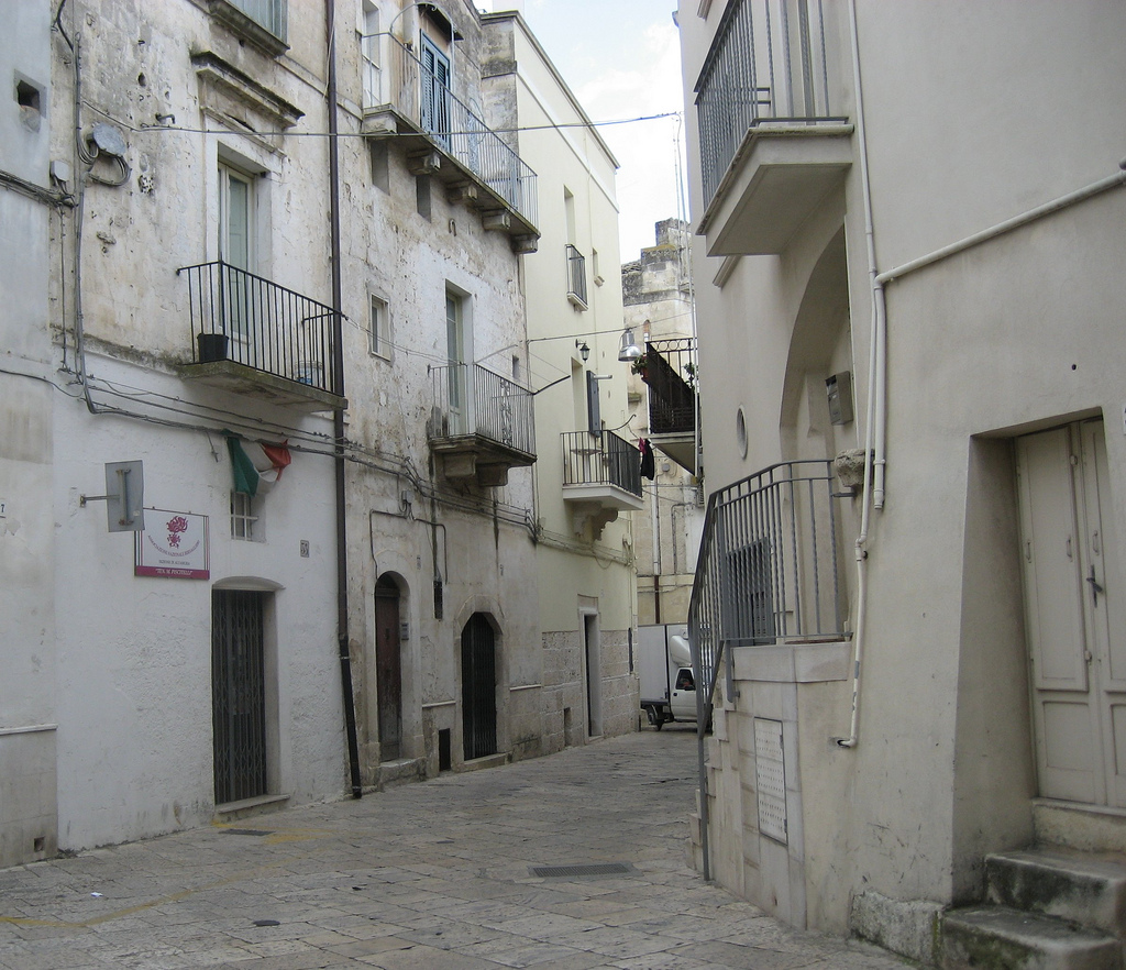
Altamura (, ; nap, label= Barese, Ialtamùre) is a town and ''comune'' of Apulia, in southern Italy. It is located on one of the hills of the Murge plateau in the Metropolitan City of Bari, southwest of Bari, close to the border with Basilicata. , its population amounts to 70,595 inhabitants. The city is known for its particular quality of bread called Pane di Altamura, which is sold in numerous other Italian cities. The 130,000-year-old calcified Altamura Man was discovered in 1993 in the nearby limestone cave called ''grotta di Lamalunga''. History The area of modern Altamura was densely inhabited in the Bronze Age (La Croce settlement and necropolis). The region contains some fifty tumuli. Between the 6th and the 3rd century BC a massive line of megalithic walls was erected, traces of which are still visible in some areas of the city. Ancient city The city was inhabited until around the tenth century AD. Then it was reportedly looted by Saracens. There are no reliable ... [...More Info...] [...Related Items...] OR: [Wikipedia] [Google] [Baidu] |

.jpg)


