|
Devès Massif
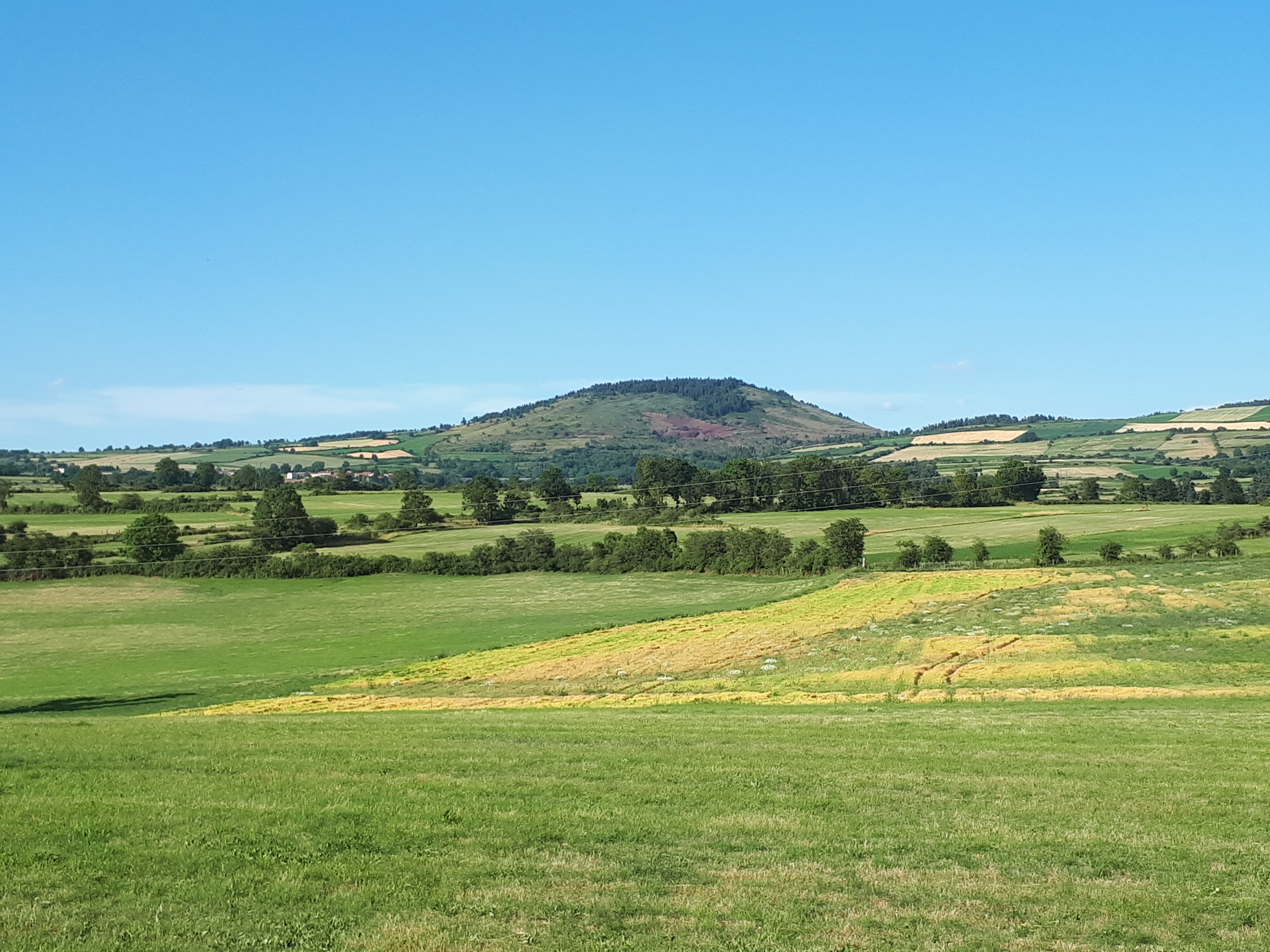
The Devès is a vast basalt plateau in the Velay mountains of the Massif Central, located in Haute-Loire, forming a natural region of France. It reaches its highest point at Mont Devès at an altitude of 1,421 meters. Toponomy Devès is an Occitan term that refers to a "forbidden forest, protected," meaning it is not exploited. Geography Location The Devès is bordered to the west by the upper Allier valley and the Margeride mountains, to the north by the Livradois mountains, to the northeast by the Meygal massif, and to the east by the upper Loire valley and the Vivarais mountains. Geology The Devès massif, which is more of a high plateau, is one of the three volcanic massifs of Velay, the other two being the Mézenc massif and the Meygal. It is the largest basalt plateau in the Massif Central. The first eruptions are dated to 6 million years ago, but most of the volcanic activity occurred between 3.5 and 0.6 million years ago, with two peaks at 1 and 2 mill ... [...More Info...] [...Related Items...] OR: [Wikipedia] [Google] [Baidu] |
Mont Devès
Mont Devès is a volcanic peak reaching an altitude of 1,421 meters in the Departments of France, French department of Haute-Loire. It is the highest point of the Devès massif in the Massif Central. Geography Mont Devès is located in the Devès massif, where it is the highest point, within the Massif Central. A Radio repeater, relay antenna is situated at its summit.''Institut Géographique National, IGN maps'' available oGéoportail/ref> References Mountains of the Massif Central Mountains of Haute-Loire {{Mountain-stub ... [...More Info...] [...Related Items...] OR: [Wikipedia] [Google] [Baidu] |
