|
Delaware Route 6
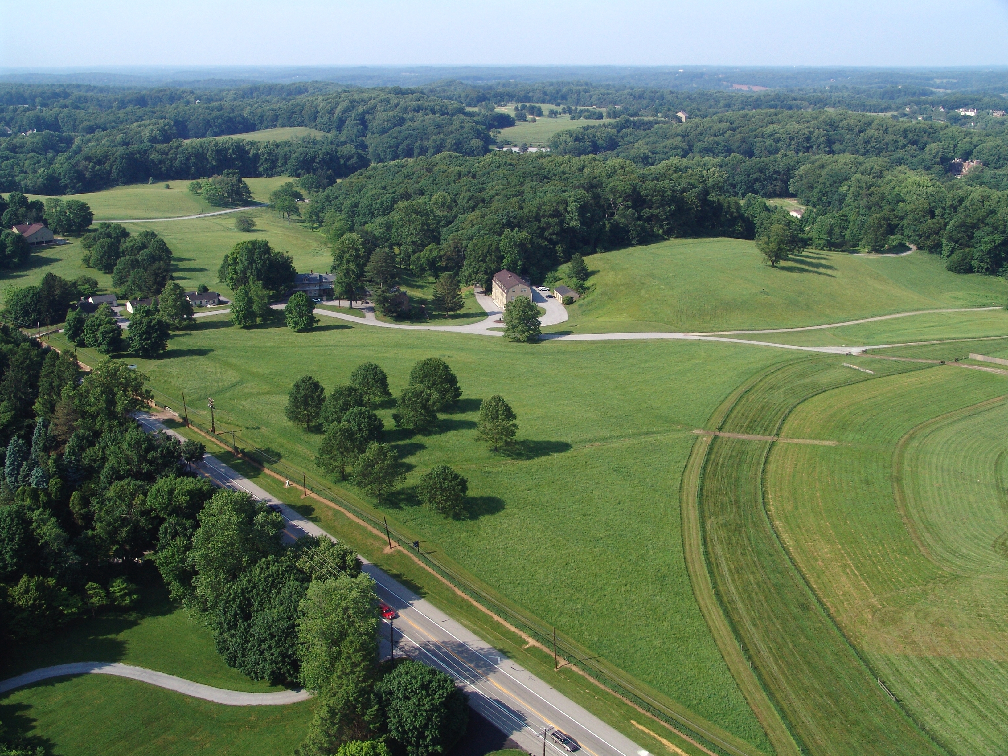
Delaware Route 6 (DE 6) is a state highway in Kent County, Delaware. It runs from Maryland Route 291 (MD 291) at the Maryland border west of Blackiston to the Delaware Bay in Woodland Beach. The route passes through rural areas of northern Kent County as well as the towns of Clayton and Smyrna. DE 6 intersects DE 42 in Blackiston, DE 15 in Clayton, DE 300 and U.S. Route 13 (US 13) in Smyrna, and DE 9 to the east of Smyrna. The road was built as a state highway during the 1920s and 1930s and received the DE 6 designation by 1936. The easternmost part of the route was paved in the 1960s and the route was moved to its current alignment bypassing downtown Smyrna by the 1990s. Route description DE 6 begins at the Maryland border, where the road continues west into that state as MD 291. From the state line, the route heads east on two-lane undivided Millington Road, passing through the Blackiston Wildlif ... [...More Info...] [...Related Items...] OR: [Wikipedia] [Google] [Baidu] |
Delaware Department Of Transportation
The Delaware Department of Transportation (DelDOT) is an agency of the U.S. state of Delaware. The Secretary of Transportation is Nicole Majeski. The agency was established in 1917 and has its headquarters in Dover. The department's responsibilities include maintaining 89 percent of the state's public roadways (the Delaware State Route System) totaling 13,507 lane miles, snow removal, overseeing the "Adopt-A-Highway" program, overseeing E-ZPass Delaware, the Division of Motor Vehicles (DMV), and the Delaware Transit Corporation (known as DART First State). DelDOT maintains a 24/7 Traffic Management Center in Smyrna at the State Emergency Operations Center. At that location, they monitor traffic conditions, operate traffic lights, and broadcast on 1380 AM via WTMC radio. Since 1969, the agency has also maintained a transportation library on Bay Road in Dover. On February 18, 2011, Sec. Carolann Wicks, who had been Secretary of Transportation since 2006, resigned. On March ... [...More Info...] [...Related Items...] OR: [Wikipedia] [Google] [Baidu] |
Maryland Route 291
Maryland Route 291 (MD 291) is a state highway in the U.S. state of Maryland. The highway runs from MD 20 in Chestertown east to the Delaware state line east of Millington, where the highway continues east as Delaware Route 6 (DE 6). MD 291 parallels the Chester River along the southern edge of Kent County and connects Chestertown with U.S. Route 301 (US 301). The highway follows much of what was originally MD 447, which was constructed between US 213 in Chestertown and MD 290 at Chesterville around 1930. MD 291 itself was built east of Millington around 1930. The highway was extended west toward Chesterville in the early 1930s, but it was not complete to MD 290 until the late 1940s. MD 291 was extended west to US 213 along a partially new alignment in the early 1960s, superseding MD 447. MD 291 was reconstructed along its entire length between the mid-1960s and mid-1970s ... [...More Info...] [...Related Items...] OR: [Wikipedia] [Google] [Baidu] |
Delaware Byway
The Delaware Byways (formerly Delaware Scenic and Historic Highways) system consists of roads in the U.S. state of Delaware that travel through areas of scenic and historic interest. The intent of this system is to promote tourism and raise awareness of the communities along these routes. History The Delaware Scenic and Historic Highways program was created in 2000 by Senate Bill 320, which authorized the Delaware Department of Transportation to create a system of statewide scenic byways. In 2007, the United States Department of Transportation awarded a $174,600 grant to preserve the Route 9 and Brandywine Valley byways. The Delaware Scenic and Historic Highways program was renamed to the Delaware Byways program in 2010. Byways Brandywine Valley National Scenic Byway The Brandywine Valley National Scenic Byway is located in New Castle County, Delaware in the Brandywine valley. The route of the byway is along DE 52 from Wilmington north to the Pennsylvania border, and DE 10 ... [...More Info...] [...Related Items...] OR: [Wikipedia] [Google] [Baidu] |
Woodland Beach Wildlife Area
Woodland Beach Wildlife Area is a state wildlife area located in Kent County, Delaware, along shore of the Delaware Bay. It is in size and is managed by Delaware Department of Natural Resources and Environmental Control (DNREC), Division of Fish & Wildlife. Much of the area is a transgressive brackish marsh. The Thomas Sutton House serves as a residence and office for the personnel of the Woodland Beach Wildlife Area. It was listed on the National Register of Historic Places The National Register of Historic Places (NRHP) is the United States federal government's official list of districts, sites, buildings, structures and objects deemed worthy of preservation for their historical significance or "great artistic v ... in 1973. References {{Authority control Protected areas of Delaware Protected areas of Kent County, Delaware ... [...More Info...] [...Related Items...] OR: [Wikipedia] [Google] [Baidu] |
Mill Creek (Smyrna River Tributary)
Mill Creek is a long 3rd order tributary to Smyrna River in Kent County, Delaware. Course Mill Creek rises on the Sewell Branch divide about 0.25 miles east of Underwood Corners in Kent County. Mill Creek then flows northeast to meet the Smyrna River about 1 mile northeast of Smyrna, Delaware. Watershed Mill Creek drains of area, receives about 44.9 in/year of precipitation, has a topographic wetness index of 631.41 and is about 2.1% forested. See also *List of rivers of Delaware List of rivers in Delaware (U.S. state), grouped by type and sorted by name. Major rivers and creeks (27) *Appoquinimink River *Blackbird Creek *Brandywine Creek (Christina River tributary), Brandywine Creek *Broad Creek (Nanticoke River tributa ... References Rivers of Delaware Rivers of Kent County, Delaware {{Delaware-river-stub ... [...More Info...] [...Related Items...] OR: [Wikipedia] [Google] [Baidu] |
Smyrna Airport (Delaware)
Smyrna Airport is a public use airport located one nautical mile (2 km) east of the central business district of Smyrna, in Kent County, Delaware, United States. It is privately owned by Barbara Jones. Facilities and aircraft Smyrna Airport covers an area of at an elevation of 18 feet (5 m) above mean sea level. It has one runway: designated as Runway 10/28, it measures 2,600 x 125 ft (792 x 38 m) and has a turf surface. For the 12-month period ending December 31, 2020, the airport had 1,092 aircraft operations, an average of 21 per week. It was entirely general aviation. For the same time period, 10 aircraft were based at the airport: 8 single-engine airplanes and 2 gliders. The airport does not have a fixed-base operator, and no fuel is available. See also * List of airports in Delaware References External links * at Delaware DOT The Delaware Department of Transportation (DelDOT) is an agency of the U.S. state of Delaware. The Secretary of Transportation ... [...More Info...] [...Related Items...] OR: [Wikipedia] [Google] [Baidu] |
Delaware Route 1
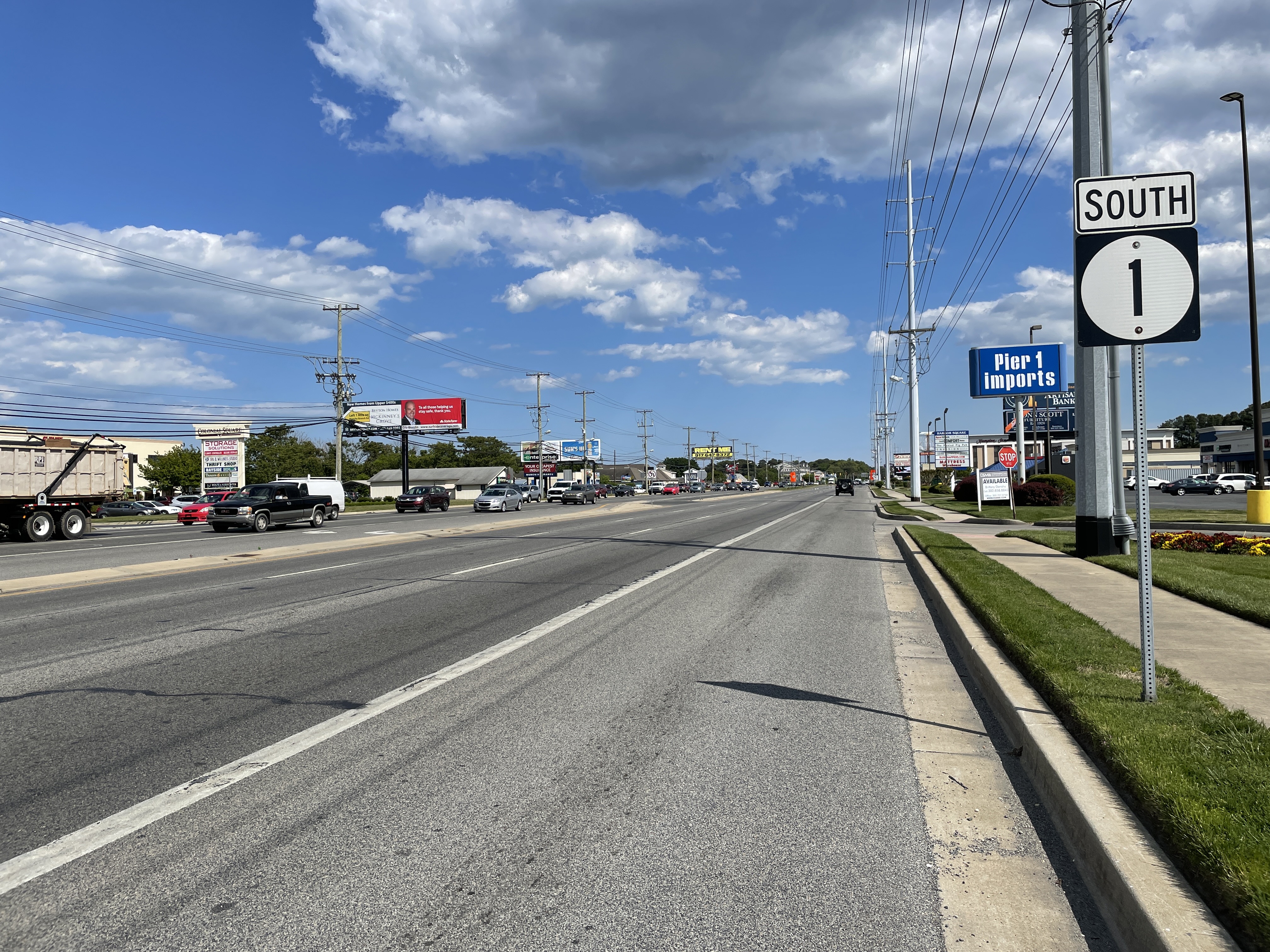
Delaware Route 1 (DE 1) is the longest numbered state highway in the U.S. state of Delaware. The route runs from the Maryland state line in Fenwick Island, Sussex County, where the road continues south into that state as Maryland Route 528 (MD 528), north to an interchange with Interstate 95 (I-95) in Christiana, New Castle County, where the road continues north as part of DE 7. Between Fenwick Island and Dover Air Force Base in Dover, Kent County, DE 1 is a multilane divided highway with at-grade intersections and occasional interchanges. The route heads north through the Delaware Beaches resort area along the Atlantic Ocean before it runs northwest through rural areas, turning north at Milford to continue to Dover. Upon reaching Dover, DE 1 becomes the Korean War Veterans Memorial Highway, a freeway that is partially tolled. Between Dover and Tybouts Corner, DE 1 parallels U.S. Route 13 (US 13), crossing over and ... [...More Info...] [...Related Items...] OR: [Wikipedia] [Google] [Baidu] |
Divided Highway
A dual carriageway ( BE) or divided highway ( AE) is a class of highway with carriageways for traffic travelling in opposite directions separated by a central reservation (BrE) or median (AmE). Roads with two or more carriageways which are designed to higher standards with controlled access are generally classed as motorways, freeways, etc., rather than dual carriageways. A road without a central reservation is a single carriageway regardless of the number of lanes. Dual carriageways have improved road traffic safety over single carriageways and typically have higher speed limits as a result. In some places, express lanes and local/collector lanes are used within a local-express-lane system to provide more capacity and to smooth traffic flows for longer-distance travel. History A very early (perhaps the first) example of a dual carriageway was the ''Via Portuensis'', built in the first century by the Roman emperor Claudius between Rome and its port Ostia at the mouth of t ... [...More Info...] [...Related Items...] OR: [Wikipedia] [Google] [Baidu] |
Center Left-turn Lane
A reversible lane (British English: tidal flow) is a lane in which traffic may travel in either direction, depending on certain conditions. Typically, it is meant to improve traffic flow during rush hours, by having overhead traffic lights and lighted street signs notify drivers which lanes are open or closed to driving or turning. Reversible lanes are also commonly found in tunnels and on bridges, and on the surrounding roadways – even where the lanes are not regularly reversed to handle normal changes in traffic flow. The presence of lane controls allows authorities to close or reverse lanes when unusual circumstances (such as construction or a traffic mishap) require use of fewer or more lanes to maintain orderly flow of traffic. Separation of flows Some more recent implementations of reversible lanes use a movable barrier to establish a physical separation between allowed and disallowed lanes of travel. In some systems, a concrete barrier is moved during low-traffic peri ... [...More Info...] [...Related Items...] OR: [Wikipedia] [Google] [Baidu] |
Greens Branch (Duck Creek Tributary)
Greens Branch is a long 2nd order tributary to Duck Creek in Kent County, Delaware. Variant names According to the Geographic Names Information System, it has also been known historically as: *Duck Creek Course Greens Branch rises on the Providence Creek divide about 0.2 miles southwest of Alley Corners, Delaware. Watershed Greens Branch drains of area, receives about 44.7 in/year of precipitation, has a topographic wetness index of 644.03 and is about 2.8% forested. See also *List of rivers of Delaware List of rivers in Delaware (U.S. state), grouped by type and sorted by name. Major rivers and creeks (27) *Appoquinimink River *Blackbird Creek *Brandywine Creek (Christina River tributary), Brandywine Creek *Broad Creek (Nanticoke River tributa ... References Rivers of Delaware Rivers of New Castle County, Delaware {{Delaware-river-stub ... [...More Info...] [...Related Items...] OR: [Wikipedia] [Google] [Baidu] |
Clayton Railroad Station
Clayton Railroad Station is a historic railway station located at Clayton, Kent County, Delaware. It was built about 1855, and is a one-story, five bay, brick, Italianate-style building. It as a low hip roof which extends about three feet from the building forming an overhang. It was built by the Delaware Railroad and remained in use as a passenger service into the 1950s. It later housed an antique shop. and ' It was added to the National Register of Historic Places in 1986. Description Three metal vents pierce the roof of the Clayton Railroad Station. The pressed brickwork is all stretcher bond. All of the windows and doors are arched and have hood molds. Fanlights were originally above the doors and windows, and many of them remain today. All of the doors were originally double, but are now single. On the interior there are six rooms, two at either end that extend the width of the building. In the middle on the east side there are two rooms, one to the north that is nearl ... [...More Info...] [...Related Items...] OR: [Wikipedia] [Google] [Baidu] |


_1.jpg)
