|
Delaware And Lehigh National Heritage Corridor
The Delaware & Lehigh Canal National and State Heritage Corridor (D&L) is a National Heritage Area in eastern Pennsylvania in the United States. It stretches from north to south, across five counties and over one hundred municipalities. It follows the historic routes of the Lehigh and Susquehanna Railroad, Lehigh Valley Railroad, the Lehigh Navigation, Lehigh Canal, and the Delaware Canal, from Bristol (northeast of Philadelphia) to Wilkes-Barre in the northeastern part of the state. The backbone of the Corridor is the D&L Trail. The Corridor's mission is to preserve heritage and conserve green space for public use in Bucks, Northampton, Lehigh, Carbon, and Luzerne counties in Pennsylvania. It also operates Hugh Moore Historical Park & Museums, which includes the National Canal Museum. Geography The Corridor is a contiguous, five-county region in eastern Pennsylvania. It contains the counties of Luzerne, Lehigh, Carbon, Bucks, and Northampton. Major rivers include the Su ... [...More Info...] [...Related Items...] OR: [Wikipedia] [Google] [Baidu] |
Bristol, Pennsylvania
Bristol is a borough in Bucks County, Pennsylvania, United States. It is located northeast of Center City Philadelphia, opposite Burlington, New Jersey on the Delaware River. It antedates Philadelphia, being settled in 1681 and first incorporated in 1720. After 1834, it became very important to the development of the American Industrial Revolution as the terminus city of the Delaware Canal, providing greater Philadelphia with the day's high tech anthracite fuels from the Lehigh Canal via Easton. The canal and a short trip on the Delaware also gave the town access to the mineral resources available in Connecticut, New Jersey and New York via each of the Morris Canal, the Delaware and Hudson Canal, and the Delaware and Raritan Canal, and connected the community to those markets and trade from New York City. Although its charter was revised in 1905, the original charter remains in effect, making it the third-oldest borough in Pennsylvania after Chester and Germantown. It had 7 ... [...More Info...] [...Related Items...] OR: [Wikipedia] [Google] [Baidu] |
Susquehanna River
The Susquehanna River (; Lenape: Siskëwahane) is a major river located in the Mid-Atlantic region of the United States, overlapping between the lower Northeast and the Upland South. At long, it is the longest river on the East Coast of the United States. By watershed area, it is the 16th-largest river in the United States,Susquehanna River Trail Pennsylvania Fish and Boat Commission, accessed March 25, 2010.Susquehanna River , Green Works Radio, accessed March 25, 2010. and also the longest river in ... [...More Info...] [...Related Items...] OR: [Wikipedia] [Google] [Baidu] |
Levittown, Pennsylvania
Levittown is a census-designated place (CDP) and planned community in Bucks County, Pennsylvania, United States. It is part of the Philadelphia metropolitan area. The population was 52,983 at the 2010 census. It is above sea level. Though not a municipality, it is sometimes recognized as the largest suburb of Philadelphia (while Upper Darby Township, Lower Merion Township, Bensalem Township, Abington Township and Bristol Township are municipalities larger in size in the three surrounding Pennsylvania counties). Starting with land purchased in 1951, it was planned and built by Levitt & Sons. The brothers William Levitt and architect Alfred Levitt designed its six typical houses. Levittown is located southeast of Allentown and northeast of Philadelphia. History Most of the land on which Levittown is built was purchased in 1951. Levitt and Sons only built six models of houses in Levittown, all single-family dwellings with lawns: the Levittowner, the Rancher, the Jubilee, th ... [...More Info...] [...Related Items...] OR: [Wikipedia] [Google] [Baidu] |
Fallsington, Pennsylvania
Fallsington is an unincorporated community in Falls Township, Bucks County, Pennsylvania, United States. Geography The latitude of Fallsington is 40.187N. The longitude is -74.819W. It is in the Eastern Standard time zone. Elevation is . History Fallsington is an example of a crossroads community typical of the 18th century, on the Kings Highway (now U.S. Route 13). The Bucks County Courthouse, established in 1663, is said to have been located in Fallsington until it was moved to Bristol in 1705. The first meetings of the Religious Society of Friends were held in the home of William Biles on Biles Island. Falls Monthly Meeting found a site for the first brick meetinghouse built in Fallsington, about 1690, on 6 acres (0.024 km2) of land that had been donated by Samuel Burgess. Also in 1690, Thomas Janney donated 72 acres (0.29 km2) of land to be used as the Quaker burial grounds for Falls Monthly Meeting. William Penn donated a tract of 120 acres (0.49 km2), for ... [...More Info...] [...Related Items...] OR: [Wikipedia] [Google] [Baidu] |
Doylestown, Pennsylvania
Doylestown is a borough and the county seat of Bucks County in Pennsylvania, United States. It is located northwest of Trenton, north of Center City, Philadelphia, southeast of Allentown, and southwest of New York City. As of the 2020 census, the borough population was 8,300. History Like most of the region, the area of Doylestown was inhabited by the Lenape people until the arrival of the Europeans. Doylestown's origins date to March 1745 when William Doyle obtained a license to build a tavern on what is now the northwest corner of Dyers Road and Coryell's Ferry Road (now Main and State Streets). Known for years as "William Doyle's Tavern," its strategic location, at the intersection of the road (now U.S. Route 202 in Pennsylvania, U.S. Route 202) linking Swede's Ford (Norristown, Pennsylvania, Norristown) and Coryell's Ferry (New Hope, Pennsylvania, New Hope) and the road (now Pennsylvania Route 611, PA Route 611) linking Philadelphia and Easton, Pennsylvania, Ea ... [...More Info...] [...Related Items...] OR: [Wikipedia] [Google] [Baidu] |
Centre Bridge, Pennsylvania
Centre Bridge is an unincorporated community on the Delaware River in Solebury Township, Bucks County, Pennsylvania, United States. Located at the crossroads of River Road ( PA 32) and Upper York Road ( PA 263), it lies north of New Hope. The spelling of the name of the village is traditional. Centre Bridge was originally called Reading's Ferry, after the proprietor of the original ferry at this point"Solebury Township Bucks County Pennsylvania, a Short History of the Township and a Report on Township Officers and Affairs", by John Richardson, Offset Service Company, Philadelphia, 1958. on the Old York Road between Philadelphia and New York. In 1814, a covered wooden toll bridge was built there. In 1923, lightning struck the bridge and the resulting fire destroyed the bridge. The fire was depicted in a famous painting by Edward Willis Redfield, who lived in a farm house just north of the bridge. The current Centre Bridge-Stockton Bridge was completed in 1926. The Delaware Div ... [...More Info...] [...Related Items...] OR: [Wikipedia] [Google] [Baidu] |
Bensalem, Pennsylvania
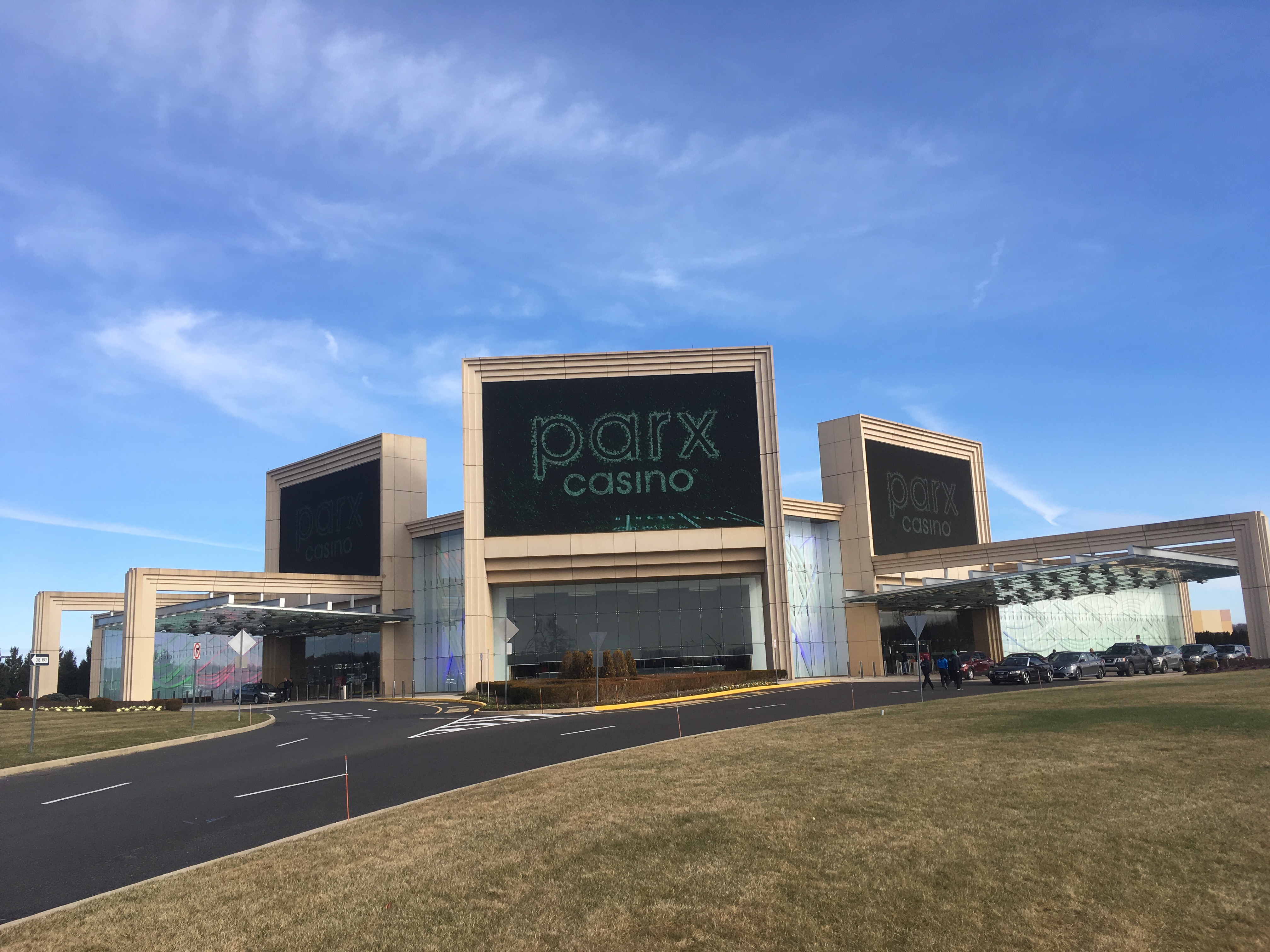
Bensalem Township is a township in Bucks County, Pennsylvania. The township borders the northeastern section of Philadelphia and includes the communities of Andalusia, Bensalem, Bridgewater, Cornwells Heights, Eddington, Flushing, Oakford, Siles, Trappe, and Trevose.MacReynolds, George, ''Place Names in Bucks County, Pennsylvania'', Doylestown, Bucks County Historical Society, Doylestown, PA, 1942, P22. Bensalem Township has no incorporated municipalities (city or borough) within its boundaries. As of the 2020 census, the township had a population of 62,707, which made it the most populous municipality in Bucks County and the tenth most populated municipality in Pennsylvania. The township, which was founded in 1692, is almost as old as Pennsylvania itself, which was founded in 1682. Origins The origin of the name Bensalem likely comes from references made by settler Joseph Growden, who named his estate ''Manor of Bensalem'' in honor of William Penn and the Semitic term for ... [...More Info...] [...Related Items...] OR: [Wikipedia] [Google] [Baidu] |
Wilkes-Barre, Pennsylvania
Wilkes-Barre ( or ) is a city in the U.S. state of Pennsylvania and the county seat of Luzerne County, Pennsylvania, Luzerne County. Located at the center of the Wyoming Valley in Northeastern Pennsylvania, it had a population of 44,328 in the 2020 census. It is the second-largest city, after Scranton, Pennsylvania, Scranton, in the Scranton–Wilkes-Barre–Hazleton, PA Metropolitan Statistical Area, which had a population of 563,631 as of the 2010 United States census, 2010 census and is the fourth-largest metropolitan area in Pennsylvania after the Delaware Valley, Greater Pittsburgh, and the Lehigh Valley with an urban population of 401,884. Scranton/Wilkes-Barre is the cultural and economic center of a region called Northeastern Pennsylvania, which is home to over 1.3 million residents. Wilkes-Barre and the surrounding Wyoming Valley are framed by the Pocono Mountains to the east, the Endless Mountains to the north and west, and the Lehigh Valley to the south. The Susqu ... [...More Info...] [...Related Items...] OR: [Wikipedia] [Google] [Baidu] |
White Haven, Pennsylvania
White Haven is a borough in Luzerne County, Pennsylvania. It is located along the Lehigh River. The population was 1,163 at the 2020 census. History Establishment White Haven was created in 1824 by industrialist Josiah White. It was later incorporated as a borough in 1842. Coal mining and railroads Early European explorers to the Wyoming Valley encountered a new form of coal — anthracite — that was abundant throughout the region. At the time, anthracite was a valuable commodity without a good use. It wasn't until February 11, 1808, when Wilkes-Barre Judge Jesse Fell created the first iron grate in the valley to successfully burn anthracite. This invention increased the popularity of anthracite as a fuel source. This led to the expansion of the coal industry in Northeastern Pennsylvania. Throughout the 1800s, canals and railroads were constructed to aid in the mining and transportation of coal. The County of Luzerne witnessed a population boom with the expansion of the coal min ... [...More Info...] [...Related Items...] OR: [Wikipedia] [Google] [Baidu] |
Jim Thorpe, Pennsylvania
Jim Thorpe is a borough and the county seat of Carbon County in the U.S. state of Pennsylvania. It is part of Northeastern Pennsylvania. It is historically known as the burial site of Native American sports legend Jim Thorpe. Jim Thorpe is located in the Pocono Mountains of northeastern Pennsylvania approximately northwest of Allentown, northwest of Philadelphia, and west of New York City. History Founding Jim Thorpe was founded in 1818 as Mauch Chunk (), a name derived from the term ''Mawsch Unk'' (Bear Place) in the language of the native Munsee-Lenape Delaware peoples: possibly a reference to Bear Mountain, an extension of Mauch Chunk Ridge that resembled a sleeping bear, or perhaps the original profile of the ridge, which has since been changed heavily by 220 years of mining. The company town was founded by Josiah White and his two partners, founders of the Lehigh Coal & Navigation Company (LC&N). The town would be the lower terminus of a gravity railroad, the Summit H ... [...More Info...] [...Related Items...] OR: [Wikipedia] [Google] [Baidu] |
Easton, Pennsylvania
Easton is a city in, and the county seat of, Northampton County, Pennsylvania, United States. The city's population was 28,127 as of the 2020 United States census, 2020 census. Easton is located at the confluence of the Lehigh River, a river that joins the Delaware River in Easton and serves as the city's eastern geographic boundary with Phillipsburg, New Jersey. Easton is the easternmost city in the Lehigh Valley, a region of that is Pennsylvania's third largest Metropolitan statistical area, metropolitan region with 861,889 residents as of the 2020 United States census, U.S. 2020 census. Of the Valley's three major cities, Allentown, Pennsylvania, Allentown, Bethlehem, Pennsylvania, Bethlehem, and Easton, Easton is the smallest with approximately one-fourth the population of Allentown, the Valley's largest city. The greater Easton area includes the city of Easton, three townships (Forks Township, Northampton County, Pennsylvania, Forks, Palmer Township, Northampton County, Pe ... [...More Info...] [...Related Items...] OR: [Wikipedia] [Google] [Baidu] |
Bethlehem, Pennsylvania
Bethlehem is a city in Northampton and Lehigh Counties in the Lehigh Valley region of eastern Pennsylvania, United States. As of the 2020 census, Bethlehem had a total population of 75,781. Of this, 55,639 were in Northampton County and 19,343 were in Lehigh County. It is Pennsylvania's seventh most populous city. The city is located along the Lehigh River, a tributary of the Delaware River. Bethlehem lies in the center of the Lehigh Valley, a metropolitan region of with a population of 861,899 people as of the 2020 census that is Pennsylvania's third most populous metropolitan area and the 68th most populated metropolitan area in the U.S. Smaller than Allentown but larger than Easton, Bethlehem is the Lehigh Valley's second most populous city. Bethlehem borders Allentown to its west and is north of Philadelphia and west of New York City. There are four sections to the city: central Bethlehem, the south side, the east side, and the west side. Each of these secti ... [...More Info...] [...Related Items...] OR: [Wikipedia] [Google] [Baidu] |


.jpg)


.jpg)

.jpg)