|
Dead Indian Creek (Wyoming)
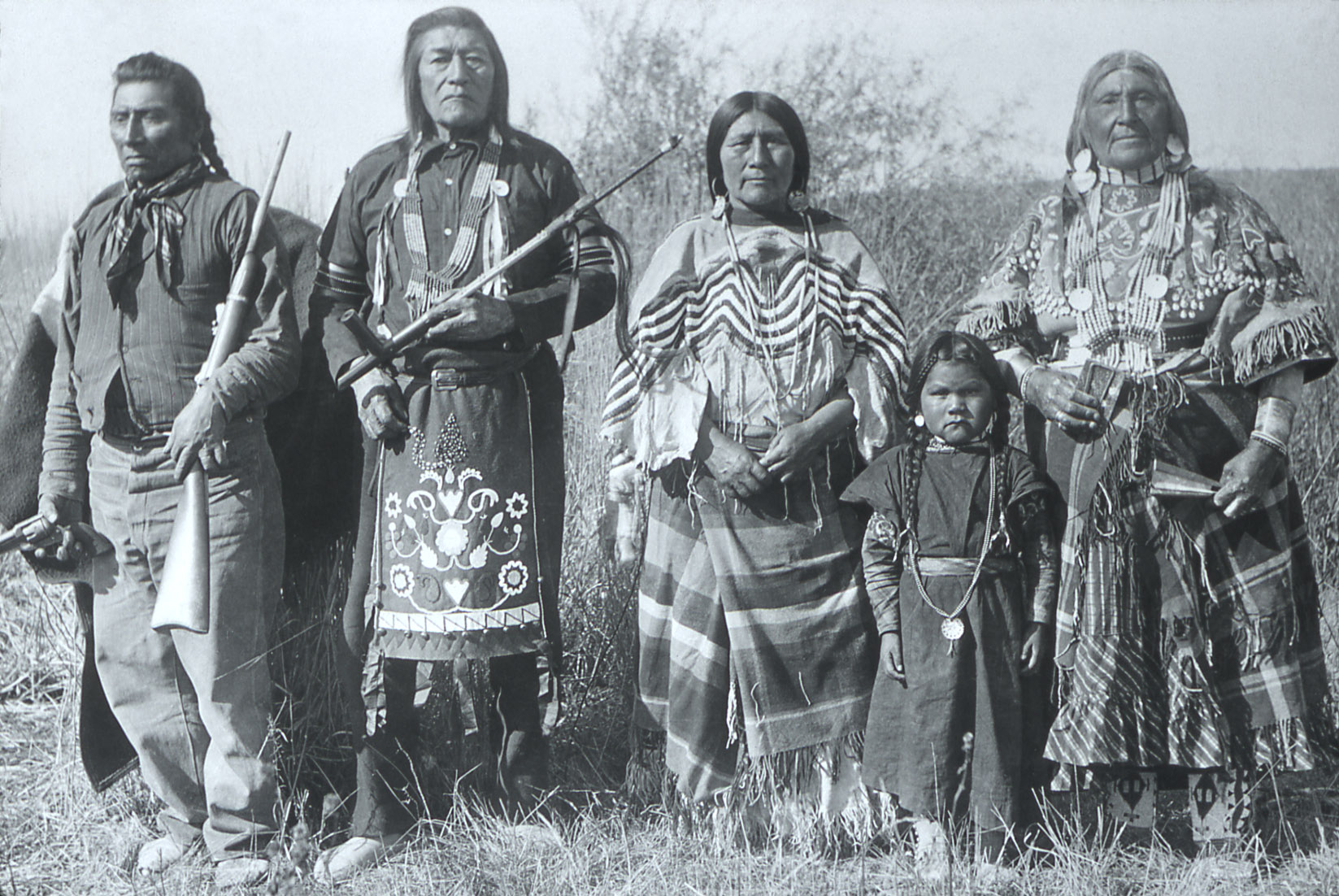
Dead Indian Creek is a stream in Park County, Wyoming, in the United States. It lies at the base of Dead Indian Pass. According to tradition Dead Indian Creek was named for a Bannock Indian The Bannock tribe were originally Northern Paiute but are more culturally affiliated with the Northern Shoshone. They are in the Great Basin classification of Indigenous People. Their traditional lands include northern Nevada, southeastern Oreg ... killed nearby. Dead Indian Creek bisects the Dead Indian Campground. References Rivers of Park County, Wyoming Rivers of Wyoming {{Wyoming-river-stub ... [...More Info...] [...Related Items...] OR: [Wikipedia] [Google] [Baidu] |
Park County, Wyoming
Park County is a county in the U.S. state of Wyoming. As of the 2020 United States Census, the population was 29,624. The county seat is Cody. Park County is a major tourism destination. The county has over 53 percent of Yellowstone National Park's land area. Many attractions abound, including the Buffalo Bill Historical Center, the Cody Stampede Rodeo, the Ghost Town of Kirwin, and the western museum Old Trail Town. History Wyoming gained separate territorial status in 1868. Before that, most of the state's area was included in either Laramie County (part of the Dakota Territory) or as unorganized territory within the Dakota Territory. Wyoming Territory was established on July 25, 1868, at which time Laramie County was assigned to this jurisdiction. The area now known as Park County was established as Carter County, then Sweetwater County. In 1884 it was assigned to Fremont County; this continued until 1896, when it was assigned to Big Horn County. Wyoming achieved statehood ... [...More Info...] [...Related Items...] OR: [Wikipedia] [Google] [Baidu] |
United States
The United States of America (U.S.A. or USA), commonly known as the United States (U.S. or US) or America, is a country primarily located in North America. It consists of 50 states, a federal district, five major unincorporated territories, nine Minor Outlying Islands, and 326 Indian reservations. The United States is also in free association with three Pacific Island sovereign states: the Federated States of Micronesia, the Marshall Islands, and the Republic of Palau. It is the world's third-largest country by both land and total area. It shares land borders with Canada to its north and with Mexico to its south and has maritime borders with the Bahamas, Cuba, Russia, and other nations. With a population of over 333 million, it is the most populous country in the Americas and the third most populous in the world. The national capital of the United States is Washington, D.C. and its most populous city and principal financial center is New York City. Paleo-Americ ... [...More Info...] [...Related Items...] OR: [Wikipedia] [Google] [Baidu] |
Dead Indian Pass
Dead Indian Pass () is a mountain pass on Wyoming Highway 296. The pass is located on Chief Joseph Scenic Byway and crosses the Absaroka Range. Dead Indian Creek runs at the base of the pass. Near the pass are also Dead Indian Gulch, Dead Indian Mountain, and Dead Indian Mesa The flight of the Nez Perce Dead Indian Pass is associated with the flight of the Nez Perce Indians during the Nez Perce War in 1877. Pursued by several hundred soldiers led by General O.O. Howard, Chief Joseph led 700 Nez Perce men, women, and children and 2,000 horses through Yellowstone Park eastward and into the Absaroka Mountains. From the Absarokas the Indians looked for a route to the Great Plains. However, the U.S. army had anticipated that the Nez Perce would attempt to break out of the mountains onto the Plains and had stationed General Samuel D. Sturgis and 600 cavalry near the base of the mountains to intercept the Indians. Sturgis's forces were strategically placed where he could move quickly ... [...More Info...] [...Related Items...] OR: [Wikipedia] [Google] [Baidu] |
Bannock People
The Bannock tribe were originally Northern Paiute but are more culturally affiliated with the Northern Shoshone. They are in the Great Basin classification of Indigenous People. Their traditional lands include northern Nevada, southeastern Oregon, southern Idaho, and western Wyoming. Today they are enrolled in the federally recognized Shoshone-Bannock Tribes of the Fort Hall Reservation of Idaho, located on the Fort Hall Indian Reservation. History The Northern Paiute have a history of trade with surrounding tribes. In the 1700s, the bands in eastern Oregon traded with the tribes to the north, who by 1730 had acquired the horse. In the mid-18th century, some bands developed a horse culture and split off to become the Bannock tribe. The horse gave the tribe a greater range, from Oregon to northern Nevada, southern Idaho, and western Wyoming. They forayed from there on the Bannock Trail to Montana and Canada to hunt buffalo. The Bannock have traditionally made pottery, utensi ... [...More Info...] [...Related Items...] OR: [Wikipedia] [Google] [Baidu] |
Rivers Of Park County, Wyoming
A river is a natural flowing watercourse, usually freshwater, flowing towards an ocean, sea, lake or another river. In some cases, a river flows into the ground and becomes dry at the end of its course without reaching another body of water. Small rivers can be referred to using names such as Stream#Creek, creek, Stream#Brook, brook, rivulet, and rill. There are no official definitions for the generic term river as applied to Geographical feature, geographic features, although in some countries or communities a stream is defined by its size. Many names for small rivers are specific to geographic location; examples are "run" in some parts of the United States, "Burn (landform), burn" in Scotland and northeast England, and "beck" in northern England. Sometimes a river is defined as being larger than a creek, but not always: the language is vague. Rivers are part of the water cycle. Water generally collects in a river from Precipitation (meteorology), precipitation through a ... [...More Info...] [...Related Items...] OR: [Wikipedia] [Google] [Baidu] |


