|
De Vennip
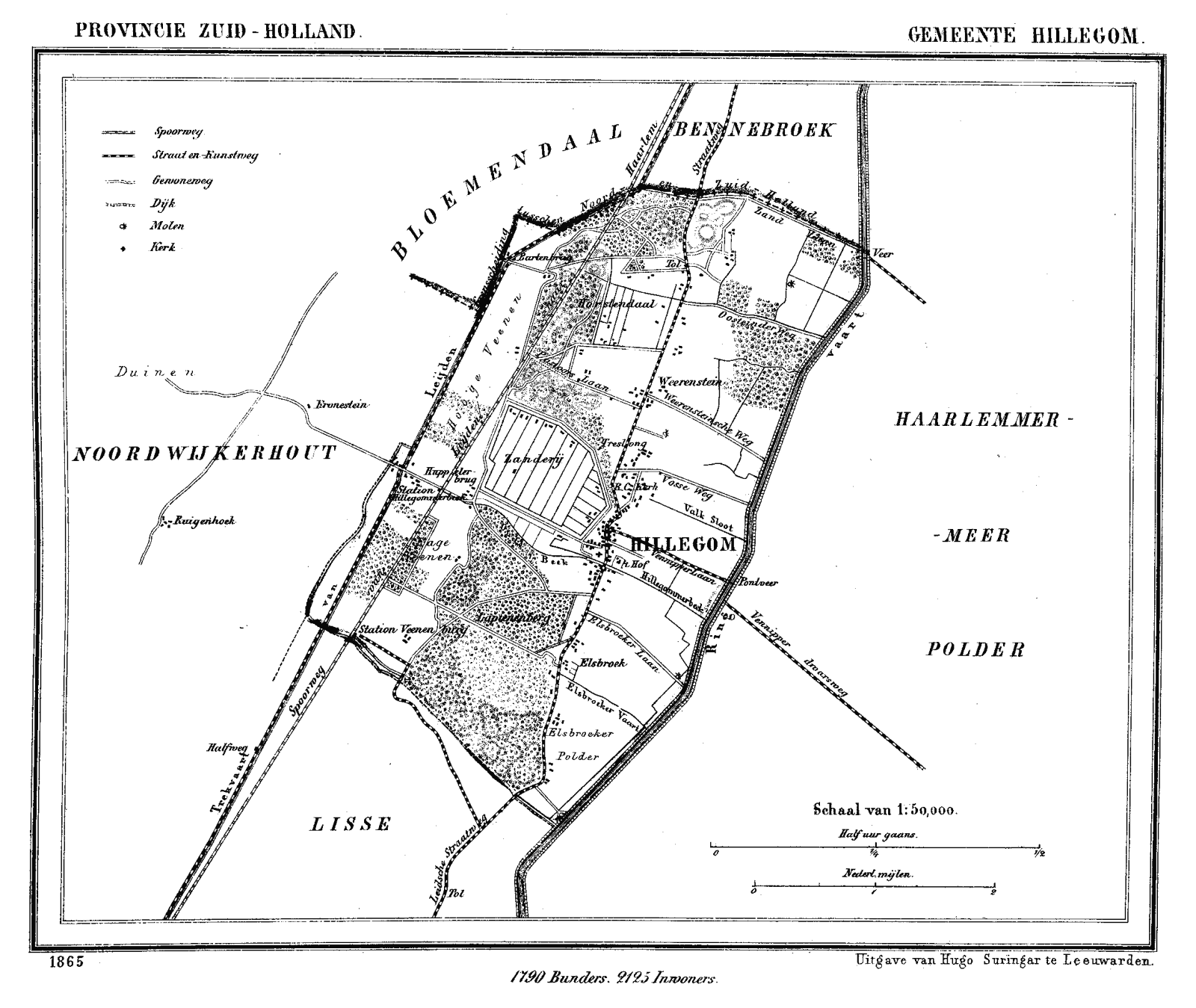
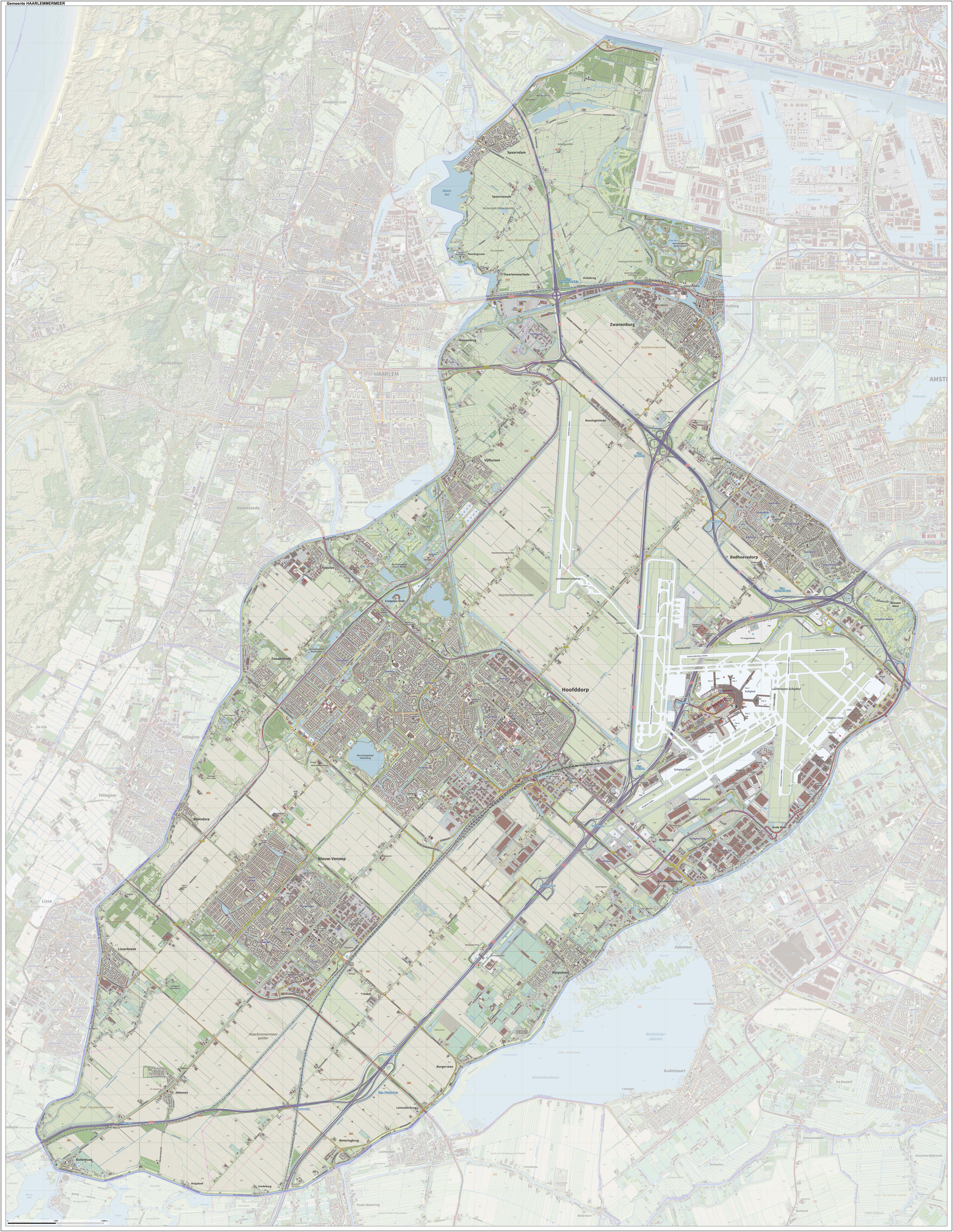
De Vennip is a former municipality in the Netherlands, which at the time belonged to the province of South Holland. It consisted of a small area of land east of Hillegom, and a large part of the Haarlemmermeer lake, including the island of Beinsdorp (which is now the name of a village in the Haarlemmermeer polder). The area of the municipality was 38.61 km², of which only 1.18 km² was land. According to the 19th-century historian A.J. van der Aa, De Vennip used to be a manor, and was first mentioned in 1334. The land area of the manor was much larger than, but when the Haarlemmermeer grew, De Vennip became smaller. From 1812 until 1817, the area was part of the municipality Hillegom, but it became a separate municipality in 1817, even though there were no inhabitants. In 1855, it merged again with Hillegom. In 1855, the water area had been drained and the new land became part of the new municipality of Haarlemmermeer, which became part of the province of North Holland. ... [...More Info...] [...Related Items...] OR: [Wikipedia] [Google] [Baidu] |
Netherlands
) , anthem = ( en, "William of Nassau") , image_map = , map_caption = , subdivision_type = Sovereign state , subdivision_name = Kingdom of the Netherlands , established_title = Before independence , established_date = Spanish Netherlands , established_title2 = Act of Abjuration , established_date2 = 26 July 1581 , established_title3 = Peace of Münster , established_date3 = 30 January 1648 , established_title4 = Kingdom established , established_date4 = 16 March 1815 , established_title5 = Liberation Day (Netherlands), Liberation Day , established_date5 = 5 May 1945 , established_title6 = Charter for the Kingdom of the Netherlands, Kingdom Charter , established_date6 = 15 December 1954 , established_title7 = Dissolution of the Netherlands Antilles, Caribbean reorganisation , established_date7 = 10 October 2010 , official_languages = Dutch language, Dutch , languages_type = Regional languages , languages_sub = yes , languages = , languages2_type = Reco ... [...More Info...] [...Related Items...] OR: [Wikipedia] [Google] [Baidu] |
South Holland
South Holland ( nl, Zuid-Holland ) is a province of the Netherlands with a population of over 3.7 million as of October 2021 and a population density of about , making it the country's most populous province and one of the world's most densely populated areas. Situated on the North Sea in the west of the Netherlands, South Holland covers an area of , of which is water. It borders North Holland to the north, Utrecht and Gelderland to the east, and North Brabant and Zeeland to the south. The provincial capital is the Dutch seat of government The Hague, while its largest city is Rotterdam. The Rhine-Meuse-Scheldt delta drains through South Holland into the North Sea. Europe's busiest seaport, the Port of Rotterdam, is located in South Holland. History Early history Archaeological discoveries in Hardinxveld-Giessendam indicate that the area of South Holland has been inhabited since at least c. 7,500 years before present, probably by nomadic hunter-gatherers. Agriculture and perman ... [...More Info...] [...Related Items...] OR: [Wikipedia] [Google] [Baidu] |
Hillegom
Hillegom () is a town and municipality in the western Netherlands, in the province of South Holland. Hillegom is part of an area called the Duin- en Bollenstreek ("Dune and Bulb Region"). As such, a large portion of the local economy was traditionally geared to the cultivation of bulb flowers. The name Hillegom is derived from the abbey named ''Hijlighem'' (Old Frankish for "Holy Home"). This abbey no longer exists. The current Lord of Hillegom is Jan Six X. History Hillegom was formed on the eastern edge of the coastal dunes where the old Leiden to Haarlem route crossed the ''Hillegommerbeek'' (Hillegom's Creek), not far from the shores of the ''Haarlemmermeer'' (Haarlem's Lake). Places with the suffix "-heim" (or variant spellings) usually developed before the year 1000 and therefore it is assumed that this may apply to Hillegom as well. In 1150 the abbot of Egmond had the rights to naming priests in Hillegom, indicating that a church or chapel existed there. In 1248 the count ... [...More Info...] [...Related Items...] OR: [Wikipedia] [Google] [Baidu] |
Haarlemmermeer
Haarlemmermeer () is a municipality in the west of the Netherlands, in the province of North Holland. Haarlemmermeer is a polder, consisting of land reclaimed from water. The name Haarlemmermeer means ' Haarlem's lake', referring to the body of water from which the region was reclaimed in the 19th century. Haarlemmermeer's main town is Hoofddorp, which has a population of 76,660. Hoofddorp, along with the rapidly growing towns of Nieuw-Vennep and Badhoevedorp, are part of the Randstad agglomeration. The main international airport of the Netherlands, Schiphol, is located in Haarlemmermeer. History The original Haarlemmermeer lake is said to have been mostly a peat bog, a relic of a northern arm of the Rhine which passed through the district in Roman times. In 1531, the original Haarlemmermeer had an area of , and near it were three smaller lakes: the Leidsche Meer (Leiden Lake), the Spiering Meer, and the Oude Meer (Old Lake), with a combined area of about . The four lakes were ... [...More Info...] [...Related Items...] OR: [Wikipedia] [Google] [Baidu] |
Beinsdorp
Beinsdorp () is a village in the Dutch province of North Holland. It is a part of the municipality of Haarlemmermeer, and lies about southwest of Hoofddorp along the Ringvaart, adjacent to Hillegom Hillegom () is a town and municipality in the western Netherlands, in the province of South Holland. Hillegom is part of an area called the Duin- en Bollenstreek ("Dune and Bulb Region"). As such, a large portion of the local economy was traditio .... Beinsdorp is named after a former island in the former Haarlemmer Lake. The village was first mentioned in 1851 as Beinsdorp, and means "Ben's village". Gallery File:Dorpshuis Beinsdorp 1.jpg, Village house File:Restaurant Beinsdorp.jpg, Restaurant in Beinsdorp References External links Populated places in North Holland Haarlemmermeer {{NorthHolland-geo-stub ... [...More Info...] [...Related Items...] OR: [Wikipedia] [Google] [Baidu] |
North Holland
North Holland ( nl, Noord-Holland, ) is a province of the Netherlands in the northwestern part of the country. It is located on the North Sea, north of South Holland and Utrecht, and west of Friesland and Flevoland. In November 2019, it had a population of 2,877,909 and a total area of , of which is water. From the 9th to the 16th century, the area was an integral part of the County of Holland. During this period West Friesland was incorporated. In the 17th and 18th century, the area was part of the province of Holland and commonly known as the Noorderkwartier (English: "Northern Quarter"). In 1840, the province of Holland was split into the two provinces of North Holland and South Holland. In 1855, the Haarlemmermeer was drained and turned into land. The provincial capital is Haarlem (pop. 161,265). The province's largest city and also the largest city in the Netherlands is the Dutch capital Amsterdam, with a population of 862,965 as of November 2019. The King's Commissi ... [...More Info...] [...Related Items...] OR: [Wikipedia] [Google] [Baidu] |
Nieuw-Vennep
Nieuw-Vennep is a town in the Dutch province of North Holland. It's located near the capital city Amsterdam as well as Amsterdam Airport Schiphol. It has a population of 31,415 (2021), and is a part of the municipality of Haarlemmermeer, which ranks in top 15% of Dutch municipalities by income level. Geography and demographics Nieuw-Vennep has 31,415 inhabitants (2021). The town has two districts, the Old Town and the newly built Getsewoud, with each being home to around half the town's population. In 2001, before the development of Getsewoud, Nieuw-Vennep had 17,886 inhabitants. The development of Getsewoud doubled the number of homes in the town and the population followed soon after. The built-up area of the town was 3.71 km2, and contained 7,513 residences.Statistics Netherlands (CBS), ''Bevolkingskernen in Nederland 2001'' . Statistics are for the continuous built-up area. The wider statistical area of Nieuw-Vennep has a population of around 40,000.Statistics Netherla ... [...More Info...] [...Related Items...] OR: [Wikipedia] [Google] [Baidu] |
Former Municipalities Of South Holland
A former is an object, such as a template, gauge or cutting die, which is used to form something such as a boat's hull. Typically, a former gives shape to a structure that may have complex curvature. A former may become an integral part of the finished structure, as in an aircraft fuselage, or it may be removable, being using in the construction process and then discarded or re-used. Aircraft formers Formers are used in the construction of aircraft fuselage, of which a typical fuselage has a series from the nose to the empennage, typically perpendicular to the longitudinal axis of the aircraft. The primary purpose of formers is to establish the shape of the fuselage and reduce the column length of stringers to prevent instability. Formers are typically attached to longerons, which support the skin of the aircraft. The "former-and-longeron" technique (also called stations and stringers) was adopted from boat construction, and was typical of light aircraft built until the ... [...More Info...] [...Related Items...] OR: [Wikipedia] [Google] [Baidu] |


