|
Cunningham Highway
The Cunningham Highway is a national highway located in south-eastern Queensland, Australia. The highway links the Darling Downs region with the urbanised outskirts of via Cunninghams Gap. The Cunningham carries the National Highway 15 shield between Ipswich and north of at its junction with the New England Highway at Glengallan where both the Cunningham and the New England head south concurrently to Warwick. Thereafter, the Cunningham carries the National Highway 42 shield to its south-western terminus with the Leichhardt Highway at Goondiwindi. The majority of the Cunningham Highway is a single carriageway with freeway standard and 6-lane arterial road standard towards its north-eastern terminus, near Ipswich. History The highway is named in honour of the explorer and botanist Allan Cunningham who followed a route close to where the modern-day highway runs. In 1828 after discovering the route Cunningham sent a report to Governor Ralph Darling emphasising the economi ... [...More Info...] [...Related Items...] OR: [Wikipedia] [Google] [Baidu] |
Newell Highway
Newell Highway is a national highway in New South Wales (NSW), Australia. It provides the major road link between southeastern Queensland and Victoria via central NSW and as such carries large amounts of freight. At in length, the Newell is the longest highway in NSW, and passes through fifteen local government areas. The highway is part of Australian national route 39 and was signposted accordingly until 2013. Since then it has been signposted as NSW route A39. Traffic volumes along Newell Highway vary from around 1,200 to 4,000 vehicles per day in rural areas. In Dubbo, the largest urban centre through which the highway passes, average daily traffic volumes are in the order of 20,000 vehicles a day. Many heavy vehicles use the Newell Highway – between 26 per cent and 52 per cent of all traffic, depending on the point along the highway. At one point in the Riverina region of NSW, the highway carries approximately 1,900 vehicles daily, of which about 32 per cent is heavy veh ... [...More Info...] [...Related Items...] OR: [Wikipedia] [Google] [Baidu] |
Queensland Government
The Queensland Government is the democratic administrative authority of the Australian state of Queensland. The Government of Queensland, a parliamentary constitutional monarchy was formed in 1859 as prescribed in its Constitution, as amended from time to time. Since the Federation of Australia in 1901, Queensland has been a State of Australia, with the Constitution of Australia regulating the relationships between all state and territory governments and the Australian Government. Under the Australian Constitution, all states and territories (including Queensland) ceded powers relating to certain matters to the federal government. The government is influenced by the Westminster system and Australia's federal system of government. The Governor of Queensland, as the representative of Charles III, King of Australia, holds nominal executive power, although in practice only performs ceremonial duties. In practice executive power lies with the Premier and Cabinet. The Cabinet of ... [...More Info...] [...Related Items...] OR: [Wikipedia] [Google] [Baidu] |
Southern Railway Line
The Southern railway line serves the Darling Downs region of Queensland, Australia. The long line branches from the Western line at Toowoomba, west of Brisbane, and proceeds south through Warwick and Stanthorpe to the New South Wales/Queensland state border at Wallangarra. History The first section of the Southern railway opened from the end of the Main Line railway at Toowoomba to Millhill to the north of Warwick, on 9 January 1871, the line terminating there to save the cost of a bridge over the Condamine River. In 1872, tin was discovered at Stanthorpe, but disagreement over the route to be taken through Warwick resulted in the approval to extend the line not being given until 1877. The difficult terrain south of Warwick required two tunnels, one through solid rock which took two years to excavate, and the line opened to Stanthorpe on 3 May 1881. The Dalveen Tunnel was added to the Queensland Heritage Register on 28 July 2000. The Southern line was completed to Walla ... [...More Info...] [...Related Items...] OR: [Wikipedia] [Google] [Baidu] |
Spicers Gap
Spicers Gap is a mountain pass that is located west of Brisbane, Queensland, Australia, and was the original route over the Great Dividing Range in the area around Brisbane. Today it is included in Main Range National Park and is a popular destination for campers and bushwalkers. To the south of the gap is Spicers Peak. To the west of the mountain pass is Spicers Gap State Forest. Both the state forest and national park are part of the Gondwana Rainforests of Australia. The crest of Spicers Gap is preserved as Spicers Gap Road Conservation Park and is accessible via conventional vehicle from east and west, although in places the road is very rough, and the road through the Park is blocked to vehicles. On the steep passage to the Gap from the east, visitors pass a cemetery, Moss's Well and the site of a former hotel. Moss's Well was named after Edward Moss, a contractor who helped build the original road. History Spicers Gap is believed to have been a route for indigenous Austr ... [...More Info...] [...Related Items...] OR: [Wikipedia] [Google] [Baidu] |
Spicers Gap Road
Spicers Gap Road is a heritage-listed road at Spicers Gap Road Conservation Park (in the Main Range National Park), Tregony, Southern Downs Region, Queensland, Australia. It was built from 1859 to 1865. It is also known as Spicers Gap Road Conservation Park and Spicers Peak Road. It was added to the Queensland Heritage Register on 23 July 1999. History During his exploration of the Brisbane River with surveyor John Oxley in 1824, explorer Allan Cunningham had observed the Dividing Range to the south-west. In 1827, Cunningham led a party to explore the land beyond this range, approaching from the south and inland, from New England. Leaving the Hunter River in April 1827, Cunningham made the first recorded European discovery of the Darling Downs, along Glengallen Creek, on 5 June 1827. On 11 June 1827, Cunningham identified a possible dray route (later known as Spicers Gap) through the Dividing Range to the coast. Cunningham returned to Sydney where he reported to Gover ... [...More Info...] [...Related Items...] OR: [Wikipedia] [Google] [Baidu] |
Ralph Darling
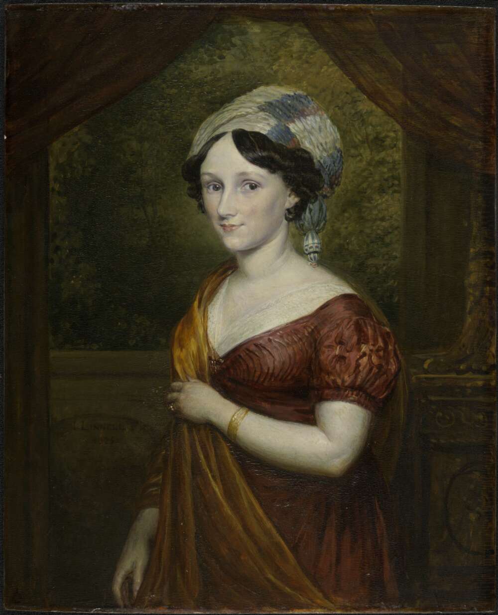
General Sir Ralph Darling, GCH (1772 – 2 April 1858) was a British Army officer who served as Governor of New South Wales from 1825 to 1831. He is popularly described as a tyrant, accused of torturing prisoners and banning theatrical entertainment. Local geographical features named after him include the Darling River and Darling Harbour in Sydney. Early career Darling seems to have been unique in the British Army of this period, as he progressed from an enlisted man to become a general officer with a knighthood. Born in Ireland, he was the son of a sergeant in the 45th Regiment of Foot who subsequently gained the unusual reward of promotion to officer rank as a lieutenant. Like most of the small number of former non-commissioned officers in this position, Lieutenant Darling performed only regimental administrative duties. He struggled to support his large family on a subaltern's pay. Ralph Darling enlisted at the age of fourteen as a private in his father's regiment, and ser ... [...More Info...] [...Related Items...] OR: [Wikipedia] [Google] [Baidu] |
Governor Of New South Wales
The governor of New South Wales is the viceregal representative of the Australian monarch, King Charles III, in the state of New South Wales. In an analogous way to the governor-general of Australia at the national level, the governors of the Australian states perform constitutional and ceremonial functions at the state level. The governor is appointed by the king on the advice of the premier of New South Wales, and serves in office for an unfixed period of time—known as serving ''At His Majesty's pleasure''—though five years is the general standard of office term. The current governor is retired jurist Margaret Beazley, who succeeded David Hurley on 2 May 2019. The office has its origin in the 18th-century colonial governors of New South Wales upon its settlement in 1788, and is the oldest continuous institution in Australia. The present incarnation of the position emerged with the Federation of Australia and the ''New South Wales Constitution Act 1902'', which defined t ... [...More Info...] [...Related Items...] OR: [Wikipedia] [Google] [Baidu] |
Allan Cunningham (botanist)
Allan Cunningham (13 July 1791 – 27 June 1839) was an English botany, botanist and List of explorers, explorer, primarily known for his travels in Australia to collect plants. Early life Cunningham was born in Wimbledon, London, Wimbledon, Surrey, England, the son of Allan Cunningham (head gardener at Wimbledon Park House), who came from Renfrewshire, Scotland, and his English wife Sarah (née Juson/Jewson née Dicken). Allan Cunningham was educated at a Putney private school, Reverend John Adams (educational writer), John Adams Academy and then went into a solicitor's office (a Lincoln's Inn Conveyancer). He afterwards obtained a position with William Townsend Aiton superintendent of Royal Botanic Gardens, Kew, Kew Gardens, and this brought him in touch with Robert Brown (Scottish botanist from Montrose), Robert Brown and Joseph Banks, Sir Joseph Banks. Brazil and Australia (New South Wales) On Banks' recommendation, Cunningham went to Brazil with James Bowie (botani ... [...More Info...] [...Related Items...] OR: [Wikipedia] [Google] [Baidu] |
Botany
Botany, also called , plant biology or phytology, is the science of plant life and a branch of biology. A botanist, plant scientist or phytologist is a scientist who specialises in this field. The term "botany" comes from the Ancient Greek word (''botanē'') meaning " pasture", " herbs" "grass", or " fodder"; is in turn derived from (), "to feed" or "to graze". Traditionally, botany has also included the study of fungi and algae by mycologists and phycologists respectively, with the study of these three groups of organisms remaining within the sphere of interest of the International Botanical Congress. Nowadays, botanists (in the strict sense) study approximately 410,000 species of land plants of which some 391,000 species are vascular plants (including approximately 369,000 species of flowering plants), and approximately 20,000 are bryophytes. Botany originated in prehistory as herbalism with the efforts of early humans to identify – and later cultivate – ed ... [...More Info...] [...Related Items...] OR: [Wikipedia] [Google] [Baidu] |
Explorer
Exploration refers to the historical practice of discovering remote lands. It is studied by geographers and historians. Two major eras of exploration occurred in human history: one of convergence, and one of divergence. The first, covering most of ''Homo sapiens'' history, saw humans moving out of Africa, settling in new lands, and developing distinct cultures in relative isolation. Early explorers settled in Europe and Asia; 14,000 years ago, some crossed the Ice Age land bridge from Siberia to Alaska, and moved southbound to settle in the Americas. For the most part, these cultures were ignorant of each other's existence. The second period of exploration, occurring over the last 10,000 years, saw increased cross-cultural exchange through trade and exploration, and marked a new era of cultural intermingling, and more recently, convergence. Early writings about exploration date back to the 4th millennium B.C. in ancient Egypt. One of the earliest and most impactful thinkers of ... [...More Info...] [...Related Items...] OR: [Wikipedia] [Google] [Baidu] |
Single Carriageway
A single carriageway (British English) or Undivided highway (American English) is a road with one, two or more lanes arranged within a one carriageway with no central reservation to separate opposing flows of traffic. A single-track road has a single lane with passing places for traffic in both directions. Road traffic safety is generally worse for high-speed single carriageways than for dual carriageways due to the lack of separation between traffic moving in opposing directions. Countries Ireland The term ''single carriageway'' is used for roads in the Republic of Ireland. Speed limits on single-carriageway roads vary depending on their classification: national primary roads and national secondary roads have a general speed limit of , while regional roads and local roads have a general speed limit of . In urban areas, the general speed limit is . United Kingdom The maximum UK speed limit for single-carriageway roads is lower than the maximum for dual-carriageway roads. T ... [...More Info...] [...Related Items...] OR: [Wikipedia] [Google] [Baidu] |
Goondiwindi
Goondiwindi () is a rural town and locality in the Goondiwindi Region, Queensland, Australia. It is on the border of Queensland and New South Wales. In the , Goondiwindi had a population of 6,355 people. Geography Goondiwindi is on the MacIntyre River in Queensland near the New South Wales border, south west of the Queensland state capital, Brisbane. The town of Boggabilla is to the south-east on the New South Wales side of the border. Most of the area surrounding the town is farmland. History Bigambul (also known as Bigambal, Bigumbil, Pikambul, Pikumbul) is an Australian Aboriginal language spoken by the Bigambul people. The Bigambul language region includes the landscape within the local government boundaries of the Goondiwindi Regional Council, including the towns of Goondiwindi, Yelarbon and Texas extending north towards Moonie and Millmerran. In the late 1840s, squatters Richard Purvis Marshall and his brother Sampson Yeoval Marshall established the Gundi Windi ... [...More Info...] [...Related Items...] OR: [Wikipedia] [Google] [Baidu] |


