|
Crymych
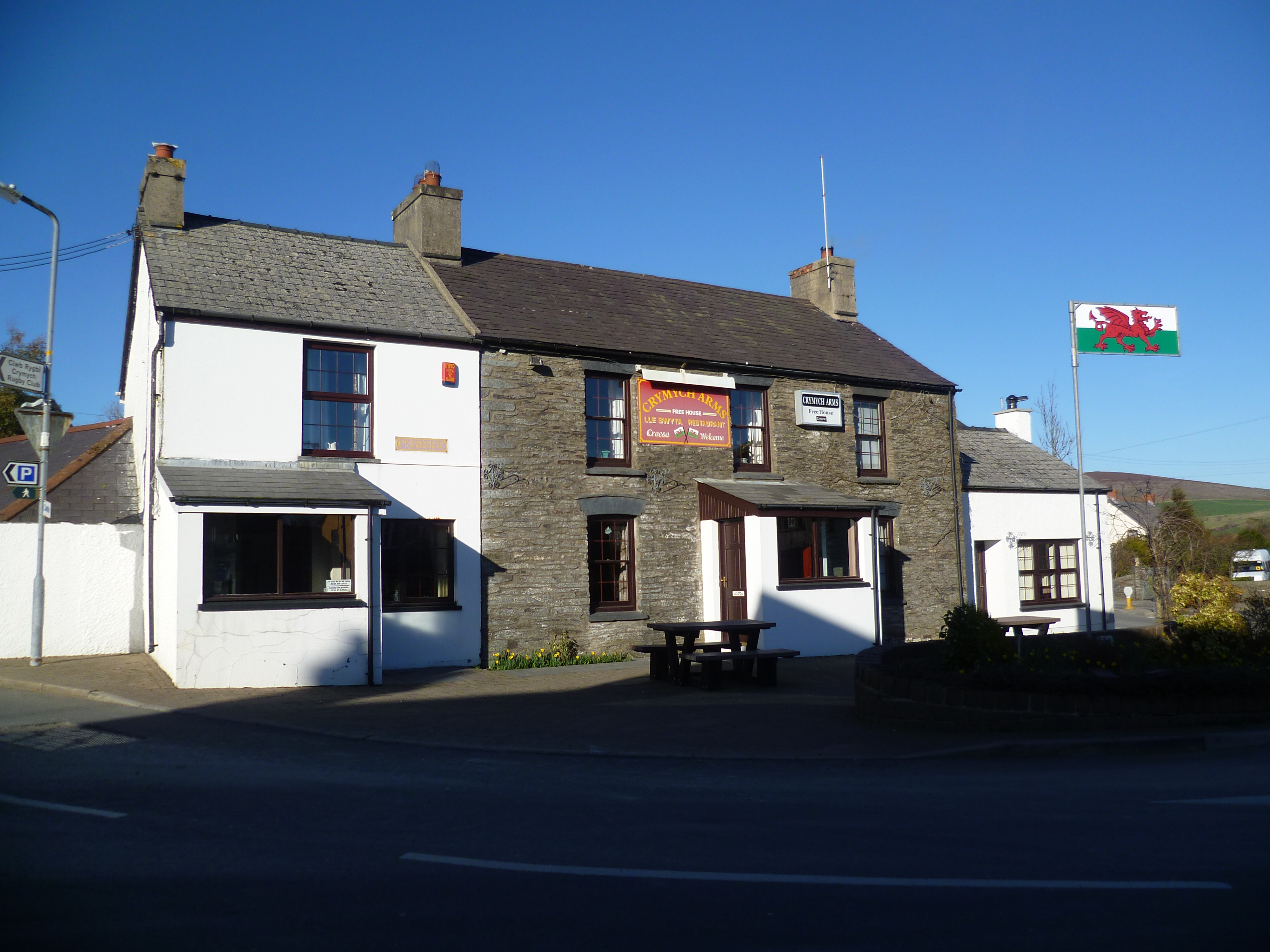
Crymych () is a village of around 800 inhabitants and a community (population 1,739) in the northeast of Pembrokeshire, Wales. It is situated approximately above sea level at the eastern end of the Preseli Mountains, on the old Tenby to Cardigan turnpike road, now the A478. The village developed around the former Crymmych Arms railway station on the now-closed Whitland to Cardigan Railway, nicknamed ''Cardi Bach'' (Little Cardi). Crymych, which is twinned with Plomelin in Brittany, has an elected community council. The village has given its name to an electoral ward of Pembrokeshire that encompasses the villages of Crymych itself and Eglwyswrw. The community includes Hermon, Glandwr, Glogue and Llanfyrnach. History The name Crymych translates into English as ''crooked stream'' referring to the River Taf which rises in the high ground above the village and takes a sharp turn in the valley at the north end of the village. Evidence of prehistoric occupation in the ... [...More Info...] [...Related Items...] OR: [Wikipedia] [Google] [Baidu] |
Crymmych Arms Railway Station
Crymmych Arms was a railway station in Crymych, Pembrokeshire, West Wales, on the Whitland and Cardigan line. It took its name from a nearby pub which, until the arrival of the railway, was the only building in the area. History The Whitland & Cardigan Railway was a The Whitland and Cardigan Railway - MRC Price - pages 126/7 Bradshaws tables branch railway line in West Wales, between Whitland station on the West Wales Line and Cardigan station, via nine intermediate stations. The line, which was originally promoted by John Owen (a quarry owner in Glogue) and approved by Parliament under the title of the Whitland and Taf Vale Railway, reached Crymych in July 1874, though passenger service at Crymych did not commence until the following year. In 1877 the name of the line was changed to the Whitland & Cardigan Railway, and the extension to Cardigan opened on 1 September 1886, to a site on the south of the River Teifi. In 1886 the line became part of the Great Western Rail ... [...More Info...] [...Related Items...] OR: [Wikipedia] [Google] [Baidu] |
Glogue
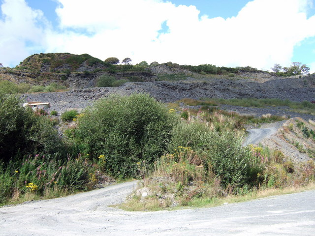
Glogue () is a hamlet and post town, north of Llanfyrnach, in the community of Crymych in the east of the county of Pembrokeshire, Wales. It was the site of slate quarrying from the 18th century; the industry employed over 80 men when the railway came to the area in the 19th century and improved distribution. Quarrying ended in 1926 and the railway closed in 1962. Glogue Farm is just north of the settlement, in Clydau community. Glogue Quarry Glogue quarry was a slate quarry in Glogue. Worked from the late 1700s, by the mid-1800s it was owned by John Owen, who wanted to make higher profits by improving his distribution. This led to the construction of the Whitland and Cardigan Railway. The advent of the railway lead to Owen expanding his workforce to over 80 men. After sale to a local consortium, the quarry was worked until 1926. Transport The railway line was further extended to in October 1874, via . In 1877 the name was changed to the Whitland & Cardigan Railway an ... [...More Info...] [...Related Items...] OR: [Wikipedia] [Google] [Baidu] |
Llanfyrnach
Llanfyrnach () is a village and parish in Pembrokeshire, Wales. The village is in the electoral ward and community of Crymych. The village of Crymych and the hamlets of Hermon, Glandwr and the eastern part of Pentre Galar are in Llanfyrnach parish. Llanfyrnach means the church of St Brynach''. Llanfyrnach village is in a remote upland area on the headwaters of the River Tâf, about from Cardigan. History The parish of Llanfyrnach was in the ancient Cantref of Cemais. There is a small Norman motte close to the church. Llanfyrnach (as ''Llanvurnach'') appears on a 1578 parish map of Pembrokeshire. Much of the parish was unenclosed moorland until the start of the 19th century. Population doubled as numerous small farms were established following enclosure from the 16th century onwards. There was an important lead mine on the north side of the village until the end of the 19th century. Mining occurred on a small scale for the sake of the low but significant concentration of ... [...More Info...] [...Related Items...] OR: [Wikipedia] [Google] [Baidu] |
River Taf
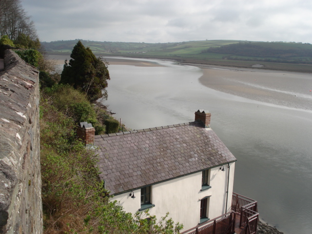
The River Taf ( cy, Afon Taf) is a river in West Wales. It rises in the Preseli Hills, Pembrokeshire, and continues through Carmarthenshire to Laugharne. It is one of the three rivers to enter the sea on the east side of Carmarthen Bay. The other two are the River Gwendraeth and River Tywi. Course The River Taf is about from Crymych to Ginst Point, of which about is tidal.The Journal of Conchology 1979 p 7 "CARMARTHEN BAY. Three large estuaries, the Gwendraeth, Afon Tywi and Afon Taf enter the sea on the east side of Carmarthen Bay and these rivers contribute to deposits of muddy shores. Water drains from high ground above the village of Crymych in Pembrokeshire, and at one time flowed at ground level across the main Cardigan–Tenby road ( A478) before falling to the level of the Whitland and Cardigan Railway station Crymmych Arms (Great Western Railway) where on the UK Ordnance Survey map of 1866 it is shown as the source of the Taf. The stream fulfills its descriptio ... [...More Info...] [...Related Items...] OR: [Wikipedia] [Google] [Baidu] |
Hermon, Pembrokeshire
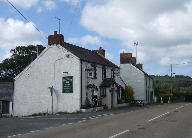
Hermon () is a small rural village in the parish of Llanfyrnach and the community of Crymych, Pembrokeshire, Wales, about southeast of Crymych. History A pre-1850 parish map shows an inn in the village, ''The Lamb Inn'' which, according to CAMRA The Campaign for Real Ale (CAMRA) is an independent voluntary consumer organisation headquartered in St Albans, England, which promotes real ale, cider and perry and traditional British pubs and clubs. With just under 155,000 members, it is ..., is now (2018) closed. Chapel There are two chapels in the village. Hermon Baptist Chapel was built in 1808 and subsequently rebuilt the same century. Brynmyrnach Welsh Independent Chapel was built in 1888. Community Centre When Hermon School closed in 2006, it was bought by the community, extended and converted into a Community Resource Centre (''Canolfan Hermon''), which was completed in 2013. The 53 pupils of the school transferred to Ysgol-y-Frenni Community Primary School. Refer ... [...More Info...] [...Related Items...] OR: [Wikipedia] [Google] [Baidu] |
A478 Road
The A478 road is a major road in Wales. The route is from its junction with the A487 at Cardigan, Ceredigion, to Tenby, Pembrokeshire. It crosses the Preseli Hills and winds through farmland for almost all of its route. The road just touches the very west of Carmarthenshire. History A road between Cardigan and Narberth was recorded between 1536 and 1642. The 1555 Highways Act made parishes responsible for the roads that crossed them. Most were unsuitable for wheeled traffic. Turnpike trusts were set up in the late 18th and early 19th centuries to manage road maintenance; at least part of this road came under the Whitland Trust. However, by the mid-19th century, some trusts were badly managed or abused, exacerbating rural poverty and in part leading to the Rebecca riots in the 1840s, some of the earliest of which were on this road, particularly at Efailwen in the Cilymaenllwyd Community. The trusts were reformed in 1844. The northern two-thirds of the A478 was a drovers' ro ... [...More Info...] [...Related Items...] OR: [Wikipedia] [Google] [Baidu] |
Eglwyswrw
Eglwyswrw is a village, community and parish in the former Cantref of Cemais, Pembrokeshire, Wales. The village lies between Newport and Cardigan at the junction of the A487 road and the B4332 at an altitude of . The village is in the heart of the Welsh-speaking area of Pembrokeshire; its history goes back at least to Norman times and there are 19 listed buildings in the community. History There is much of archaeological interest in and around Eglwyswrw community, and the village is recorded from Norman times; on the west side of the village is a small Norman motte, designated ''Castell Eglwyswrw'' by Coflein. The sacred nature of the site where the church now stands (see also Worship, below) may date back to before the 8th century, but there was a later Norman church, the earliest record of which is in 1291. A 1578 map in the British Library shows Eglwyswrw parish as ''Eglosserrow'', possibly an English phonetic rendering of the name. The village hosted several importan ... [...More Info...] [...Related Items...] OR: [Wikipedia] [Google] [Baidu] |
Preseli Hills
The Preseli Hills or, as they are known locally and historically, Preseli Mountains, (Welsh: ''Mynyddoedd y Preseli / Y Preselau'' , ) is a range of hills in western Wales, mostly within the Pembrokeshire Coast National Park. The range stretches from the proximity of Newport in the west to Crymych in the east, some in extent. The highest point at above sea level is Foel Cwmcerwyn. The ancient of track along the top of the range is known as the Golden Road. The Preselis have a diverse ecosystem, many prehistoric sites, and are a popular tourist destination. There are scattered settlements and small villages; the uplands provide extensive unenclosed grazing, and the lower slopes are mainly enclosed pasture. Slate quarrying was once an important industry. More recently, igneous rock is being extracted. The Preselis have Special Area of Conservation status, and there are three sites of special scientific interest ( SSSIs). Name variations A peak is spelt ''Percelye'' on a ... [...More Info...] [...Related Items...] OR: [Wikipedia] [Google] [Baidu] |
Pembrokeshire
Pembrokeshire ( ; cy, Sir Benfro ) is a county in the south-west of Wales. It is bordered by Carmarthenshire to the east, Ceredigion to the northeast, and the rest by sea. The county is home to Pembrokeshire Coast National Park. The Park occupies more than a third of the area of the county and includes the Preseli Hills in the north as well as the Pembrokeshire Coast Path. Historically, mining and fishing were important activities, while industry nowadays is focused on agriculture (86 per cent of land use), oil and gas, and tourism; Pembrokeshire's beaches have won many awards. The county has a diverse geography with a wide range of geological features, habitats and wildlife. Its prehistory and modern history have been extensively studied, from tribal occupation, through Roman times, to Welsh, Irish, Norman, English, Scandinavian and Flemish influences. Pembrokeshire County Council's headquarters are in the county town of Haverfordwest. The council has a majority of Independ ... [...More Info...] [...Related Items...] OR: [Wikipedia] [Google] [Baidu] |
Glandwr, Pembrokeshire
Glandwr is a small rural village in the parish of Llanfyrnach and the community of Crymych, Pembrokeshire, Wales. The village appears on a pre-1850 parish map as Glan-dwr. It is linked by unclassified roads to adjacent settlements and to the A478 road. Glandwr sits on the River Gafel, which joins the River Taf to the southeast, and is the location of Lammas Ecovillage. Chapel Glandwr has had an independent chapel (''Capel Glandwr'') since 1712, rebuilt or restored several times since. The current chapel is a Grade II listed building In the United Kingdom, a listed building or listed structure is one that has been placed on one of the four statutory lists maintained by Historic England in England, Historic Environment Scotland in Scotland, in Wales, and the Northern I .... The National Library of Wales holds historical information relating to the chapel. Mill The village had a woollen mill at least as early as 1650. References External links {{authority co ... [...More Info...] [...Related Items...] OR: [Wikipedia] [Google] [Baidu] |
Plomelin
Plomelin (; ''Ploveilh'' in Breton) is a commune in the Finistère department of Brittany in north-western France. It lies near the Odet river, about southwest of Quimper. International relations Plomelin is twinned with the village of Crymych in Wales and the village of in Germany. Population Inhabitants of Plomelin are called in French ''Plomelinois''. Breton language The municipality launched a linguistic plan concerning the Breton language through Ya d'ar brezhoneg on 3 July 2008. See also *Communes of the Finistère department The following is a list of the 277 communes of the Finistère department of France. The communes cooperate in the following intercommunalities (as of 2022):Buckwheat whisky, produced in Plomelin by ''Distillerie des Menhirs''. ...
|


